AR-23 — Pig Trail & the Boston Mountains
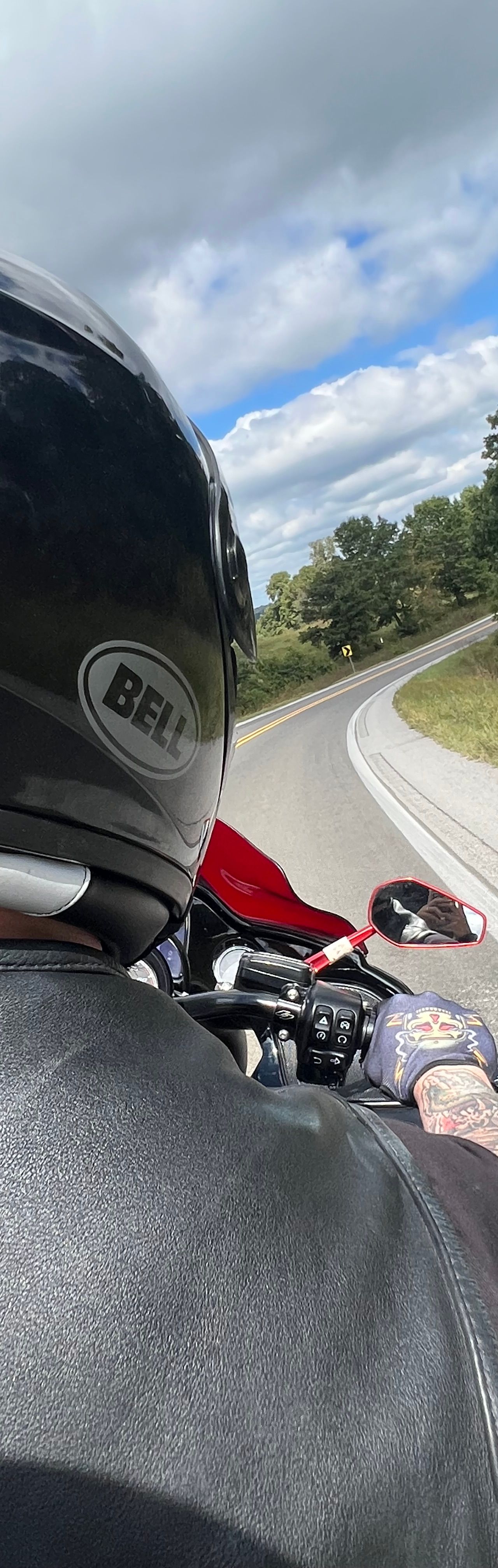
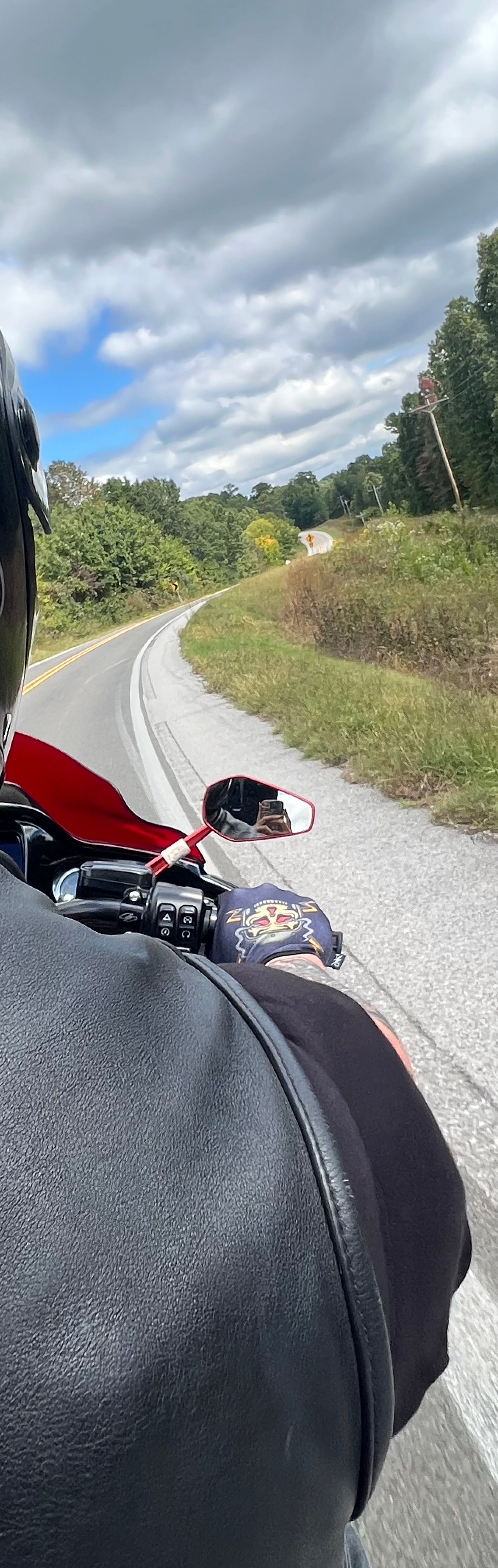
Arkansas Highway 23 is one of the best-known motorcycle roads in the Ozarks, winding through the Boston Mountains and the Ozark National Forest of northwest Arkansas. Its heart is the official 19-mile Pig Trail Scenic Byway — a tight, tree-canopied climb famous for its endless curves — but riders run AR-23 well beyond that section, and the full highway shown here is a long, twisty ride in its own right. It threads Ozark and the National Forest, crosses the Mulberry River at Turner Bend, and continues north past St. Paul and Huntsville toward Eureka Springs. Plan fuel around the bigger towns; the forest stretches are remote and services are thin.
What you'll hit along the way.
Rider-verified stops, overlooks, fuel, and the corners worth knowing about — in the order you'll meet them.
Ozark, AR
Ozark National Forest gateway on the south end — the last full-service town (fuel, food) before the climb into the Boston Mountains.
Turner Bend Store
Longtime store at the Mulberry River crossing in the heart of the Pig Trail — snacks, drinks, and a traditional rider stop.
St. Paul, AR
Small village near the Brashears junction where the official Pig Trail Scenic Byway ends; limited services, so fuel around Ozark or Huntsville.
No runs logged on this road yet — be the first.
Runs are rider-logged & GPS-traced in the app
Ride your own ride — times are rider-logged & GPS-traced, never a race on public roads.
Shot by the riders who've run it.
Riders upload photos to their profile and tag the road or stop — tagged shots show up here automatically.