// CATEGORY
scenic road
391 destinations.
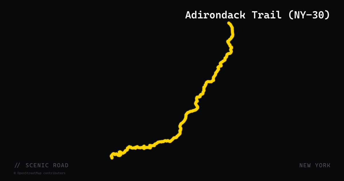
scenic road · new york
Adirondack Trail (NY-30)
New York State Route 30, officially signed as the Adirondack Trail through the park interior, runs 300 miles from the New York Thruway near Fonda north to the Canadian border at Constable. The most celebrated section cuts 153 miles through the heart of Adirondack Park, linking Speculator, Indian Lake, Blue Mountain Lake, Long Lake, and Tupper Lake through continuous wilderness. The Indian Lake to Speculator section along the western shore of Indian Lake — where the surrounding mountains reflect off the water — is consistently cited as one of the most scenic motorcycle stretches in the Northeast.
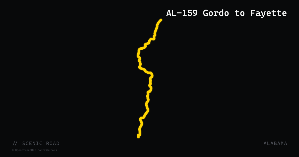
scenic road · alabama
AL-159 Gordo to Fayette
A 31-mile rural two-lane through west-central Alabama's rolling Pickens and Fayette County countryside. Gentle sweepers and real elevation changes through farmland, pine forest, and small river crossings with virtually no traffic. Recommended as one of Alabama's underrated scenic roads for riders seeking solitude over spectacle.
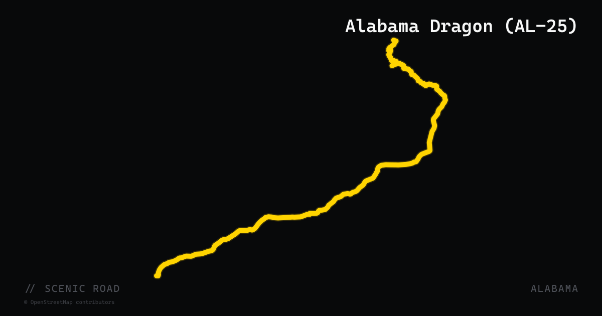
scenic road · alabama
Alabama Dragon (AL-25)
A 20-mile section of Alabama State Route 25 between Vincent and Leeds, roughly 30 miles east of Birmingham. Nicknamed the Alabama Dragon for its relentless hairpins and sweeping turns across Coosa Mountain and Thomson Gap — approximately 100 curves on smooth, commercial-vehicle-banned pavement. Popular year-round sport and cruiser destination with lush forested scenery.
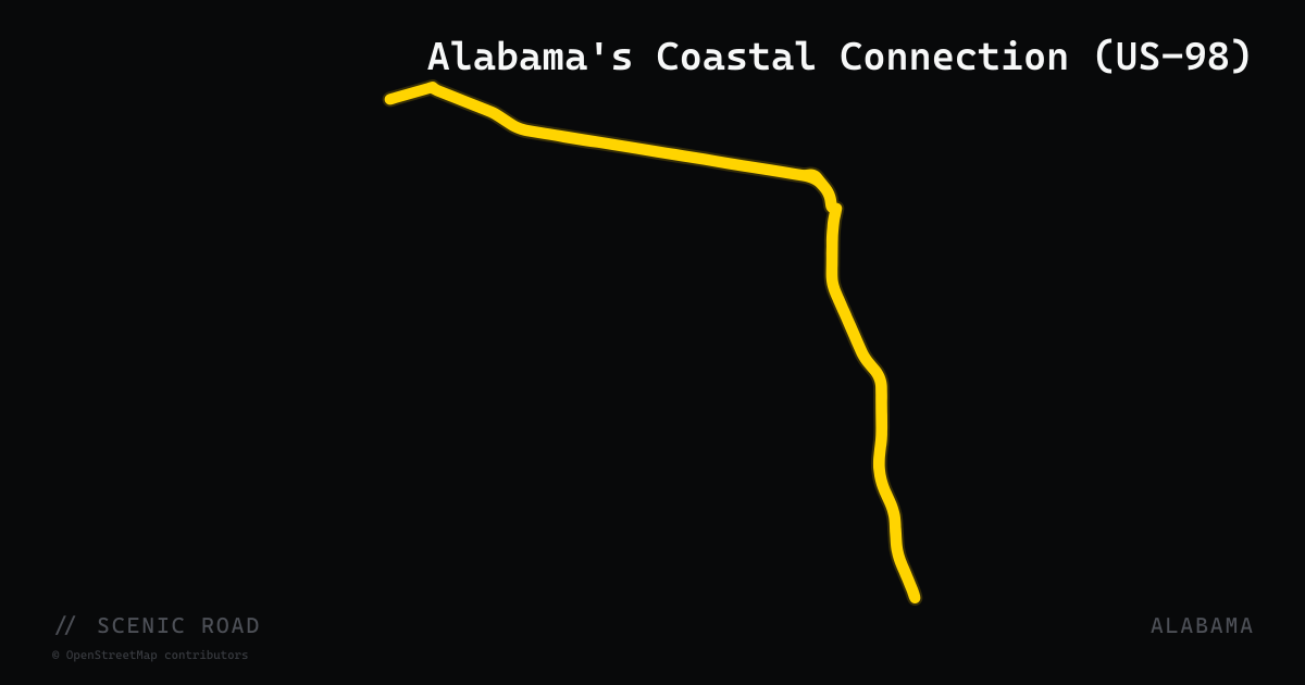
scenic road · alabama
Alabama's Coastal Connection (US-98)
A 130-mile National Scenic Byway following US-98 and Scenic 98 along Alabama's entire Gulf Coast, from Grand Bay near the Mississippi border east through Bayou La Batre, Dauphin Island, Gulf Shores, Orange Beach, Elberta, Foley, Magnolia Springs, Fairhope, Point Clear, and Daphne. Connects beachside stretches with mobile-bay estuary crossings, seafood towns, and wildlife refuges. One of 150 FHWA-designated National Scenic Byways.
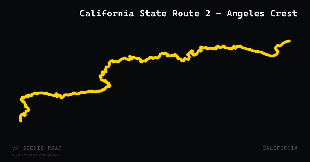
scenic road · california
Angeles Crest Highway
SR-2 from La Cañada to Wrightwood — a top California motorcyclist favorite.
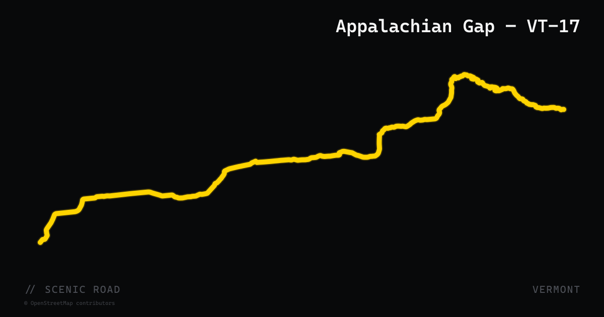
scenic road · vermont
Appalachian Gap — VT-17
Vermont Route 17 crosses the Green Mountains via the Appalachian Gap ("App Gap"), the highest paved mountain pass in Vermont at 2,369 feet, in Buel's Gore. The road runs roughly 40 miles from Addison in the Champlain Valley east through Bristol, Starksboro, and Waitsfield to Mad River Glen. The eastern approach from Waitsfield packs 53 turns into 3 miles of climbing with sustained 15%+ grades through dense hardwood forest. The summit is within the Long Trail corridor; the Long Trail crosses the road here. The western descent to Bristol and Bristol Cliffs is equally technical. Frequently combined with VT-100 to form the classic Mad River Loop.
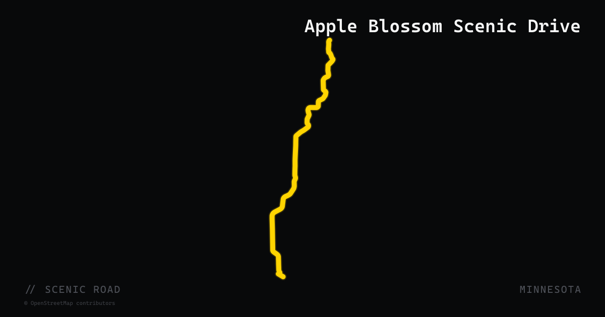
scenic road · minnesota
Apple Blossom Scenic Drive
The Apple Blossom Scenic Drive is a 19-mile Minnesota State Scenic Byway in Houston County in southeastern Minnesota, following county roads from La Crescent north along the Mississippi River bluffs through the towns of Nodine and Dakota before reconnecting to US-61. Both ends of the byway meet the Great River Road (US-61), making it a natural loop extension. The drive winds through apple orchards that blanket the hillside slopes above the Mississippi River valley, with sweeping views over the river floodplain. The road crests the bluffs at several points, delivering elevated river panoramas. Peak blossom season is early to mid-May; fall apple harvest (September–October) is the second major draw. Access to Great River Bluffs State Park is available from the byway. The nearest large town is La Crescent at the southern end.
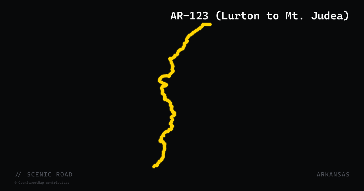
scenic road · arkansas
AR-123 (Lurton to Mt. Judea)
A tighter, narrower alternative to Push Mountain Road, AR-123 between Lurton and Mt. Judea winds through steep Ozark terrain near the Big Piney Creek drainage. The route shown here follows the full AR-123 ref, which extends well south and north of this favored segment.
scenic road · arkansas
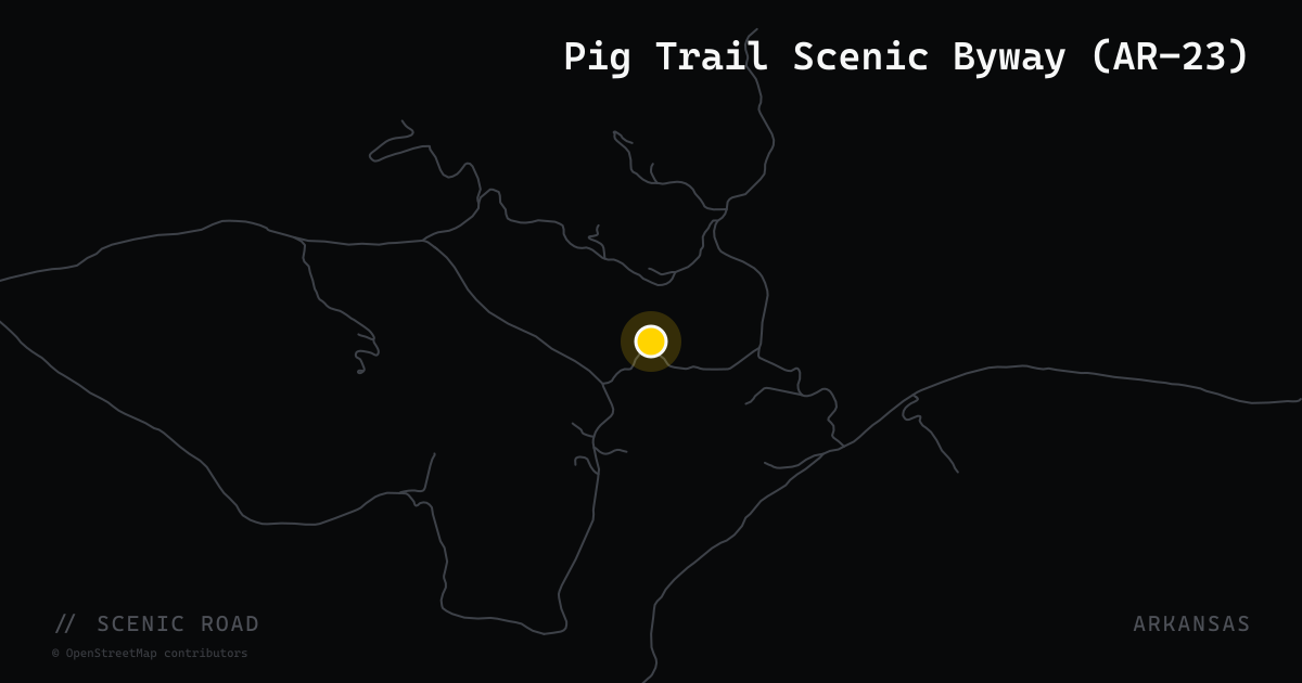
AR-23 — Pig Trail & the Boston Mountains
Arkansas Highway 23 is one of the best-known motorcycle roads in the Ozarks, winding through the Boston Mountains and the Ozark National Forest of northwest Arkansas. Its heart is the official 19-mile Pig Trail Scenic Byway — a tight, tree-canopied climb famous for its endless curves — but riders run AR-23 well beyond that section, and the full highway shown here is a long, twisty ride in its own right. It threads Ozark and the National Forest, crosses the Mulberry River at Turner Bend, and continues north past St. Paul and Huntsville toward Eureka Springs. Plan fuel around the bigger towns; the forest stretches are remote and services are thin.
scenic road · oklahoma
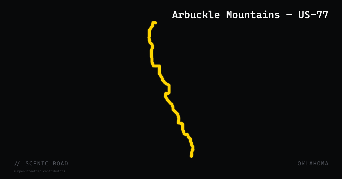
Arbuckle Mountains — US-77
North of Springer, US-77 leaves the interstate corridor and reverts to a narrow two-lane highway as it enters the Arbuckle Mountains — one of the oldest exposed mountain ranges in North America. The road was paved in the 1920s using prison labor and retains its original alignment through tight hairpin curves and wooded limestone terrain. The route provides direct access to Turner Falls Park (Oklahoma's tallest waterfall at 77 feet) and continues through Davis. Rider Magazine describes this hairpin section as a highlight of the greater Arbuckle region ride.
scenic road · arkansas
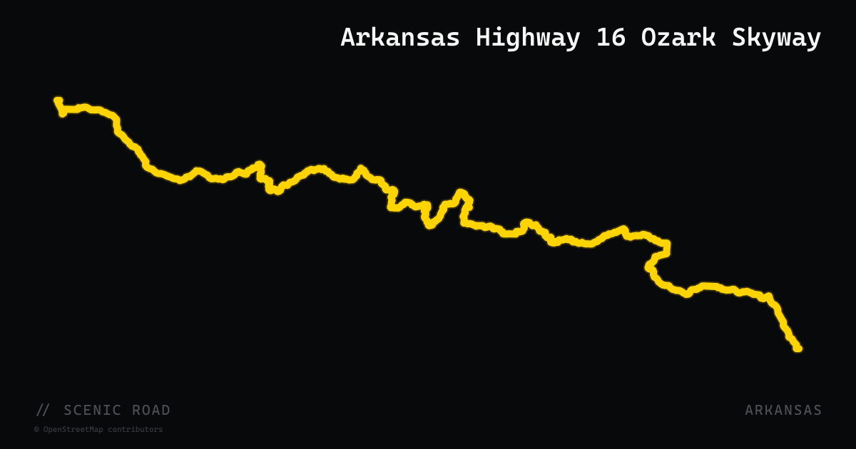
Arkansas Highway 16 Ozark Skyway
The central section of Arkansas Highway 16 — roughly 72 miles from Fayetteville east to its junction with AR-7 in the Ozark National Forest — delivers one of the state's most underrated ridge-top rides. The road climbs through Elkins and then becomes progressively more serpentine as it gains the Ozark highland plateau, passing through communities including Lurton, Deer, Witts Springs, and Ben Hur before crossing AR-123 and dropping to Sand Gap near AR-7. The route briefly joins the Pig Trail corridor near Brashears and shares a concurrency with AR-21 in Newton County, forming part of the official Ozark Highlands Scenic Byway. Rider Magazine called it a candidate for "Ozarks Scenic Highlands Skyway" — one of the least-trafficked and most scenic highways in the state.
scenic road · south carolina
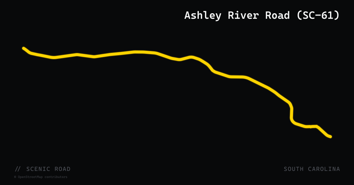
Ashley River Road (SC-61)
Ashley River Road is the nationally designated scenic portion of SC-61 that follows the Ashley River northwest from Charleston through the South Carolina Lowcountry. The byway corridor passes three of the oldest and most significant plantation gardens in North America — Drayton Hall (1738), Magnolia Plantation and Gardens, and Middleton Place — all fronting directly on the road. The route transitions from a four-lane suburban arterial to a two-lane canopy-covered road lined with live oaks draped in Spanish moss as it enters the historic district. The road dates to at least the Lodge-Cook Map of 1771, making it the oldest continuously used road in South Carolina. A National Scenic Byway designation covers the stretch from Church Creek Bridge north approximately 10 miles.
scenic road · oregon
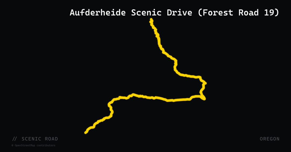
Aufderheide Scenic Drive (Forest Road 19)
The Robert Aufderheide Memorial Drive (Forest Service Road 19) is a 58-mile paved road through the Willamette National Forest connecting OR-126 (McKenzie River Highway) at the north to OR-58 (Oakridge) at the south. The road meanders along the wild and scenic North Fork of the Middle Fork Willamette River and past Cougar Reservoir, Terwilliger Hot Springs, and Constitution Grove — a stand of 200-year-old Douglas fir. The pavement is smooth with consistent-radius curves and nearly neutral camber, making it a favorite for sport bikes and cruisers alike. The route is generally open April through November; not maintained in winter.
scenic road · minnesota
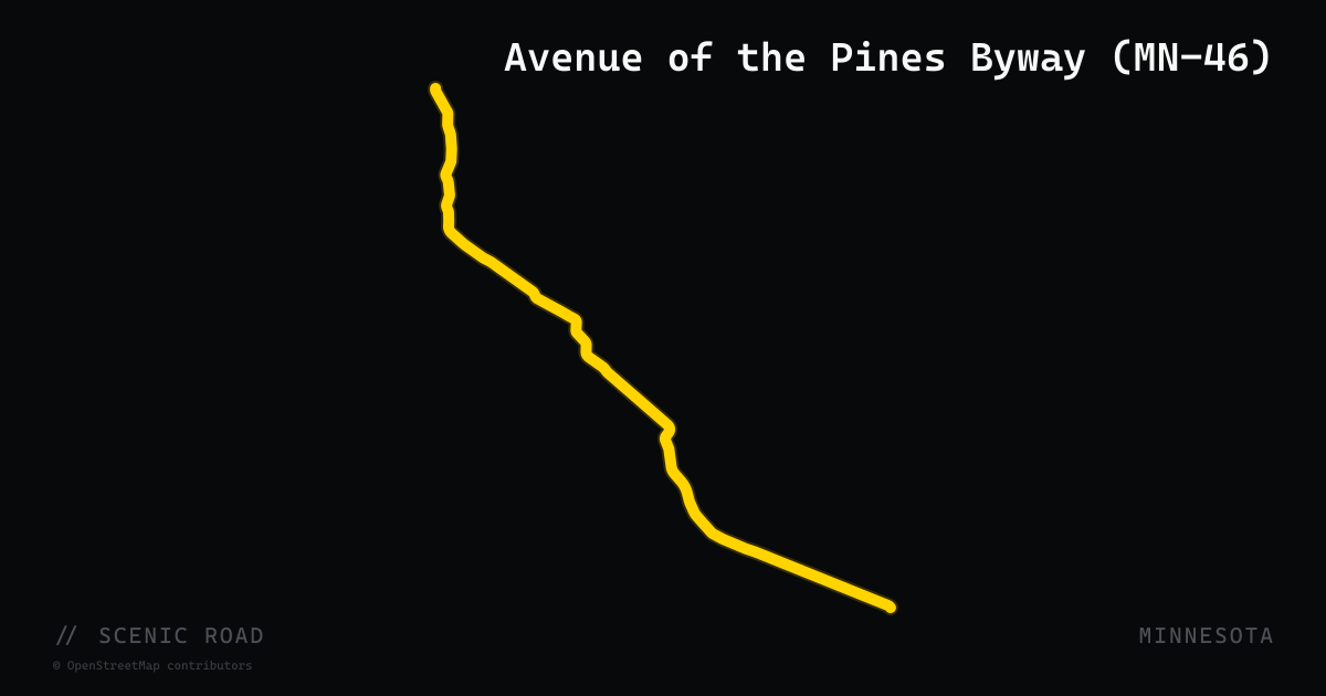
Avenue of the Pines Byway (MN-46)
The Avenue of the Pines Scenic Byway follows Minnesota State Highway 46 for 46 miles from Deer River northwest to Northome through Chippewa National Forest. The route is named for the towering stands of mature red pines that line the road, creating a canopy effect in the forest sections. Along the route are views of sparkling lakes, marshes, and aspen stands interspersed with the pine corridors. Wildlife commonly observed includes bald eagles, white-tailed deer, black bear, porcupine, and osprey. The byway is relatively flat and straight compared to MN-38 to the east, making it a relaxed, scenery-focused ride rather than a technical road. Services including fuel, dining, and lodging are available in Deer River at the south terminus and in smaller communities along the route. The byway is located 13 miles northwest of Grand Rapids and can be combined with the Edge of the Wilderness (MN-38) as a northern Minnesota loop.
scenic road · tennessee
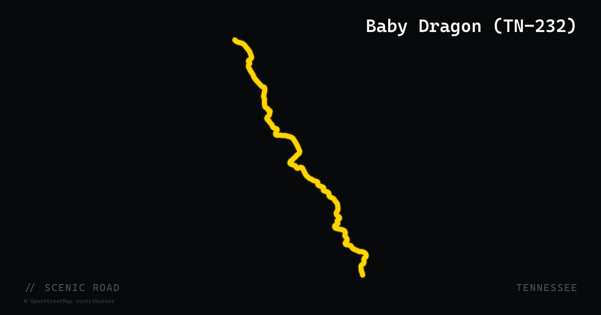
Baby Dragon (TN-232)
TN-232, nicknamed the Baby Dragon, is a 12-mile rural highway in Stewart County in northwestern Tennessee that runs south from its junction with US-79 near Dover to TN-147. The road is roughly 75 percent tree-canopied hardwood forest, with long sweeping curves, small bridge crossings over attractive creeks, and pastoral farmland flanking the bends. Unlike the technical hairpins of the East Tennessee roads, the Baby Dragon offers accessible sweepers with good sightlines — an appealing ride for those exploring the Land Between the Lakes region or using Dover as a base for Middle Tennessee loops. A vintage Civil War iron furnace sits along the route.
scenic road · virginia
Back of the Dragon (VA-16)
The celebrated Marion-to-Tazewell section of VA-16 packs roughly 438 curves and 3,500 feet of elevation change into 32 miles, and it is Virginia's only state-designated motorcycle route with pavement swept clean for riders.
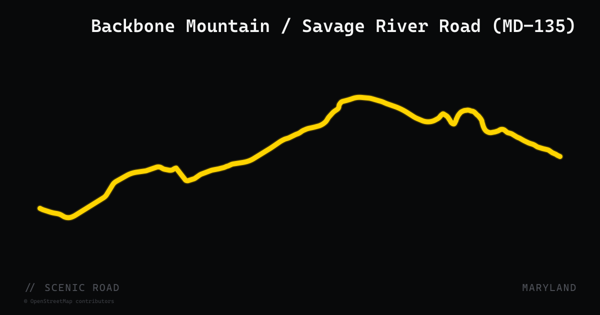
scenic road · maryland
Backbone Mountain / Savage River Road (MD-135)
Maryland Route 135 stretches 29 miles from Oakland (US-219) in Garrett County east to McCoole (US-220) in Allegany County, crossing Backbone Mountain via a summit scenic overlook at 2,969 feet — the highest point on any Maryland state highway. The road traverses Potomac-Garrett State Forest along the ridgeline and drops steeply into the Bloomington area where it bridges the Savage River. It is part of the Mountain Maryland Scenic Byway. The Savage River Road spur off MD-135 near Bloomington adds short but exceptional forested twisties following the river downstream. The technical eastbound descent off Backbone Mountain is the most demanding section.
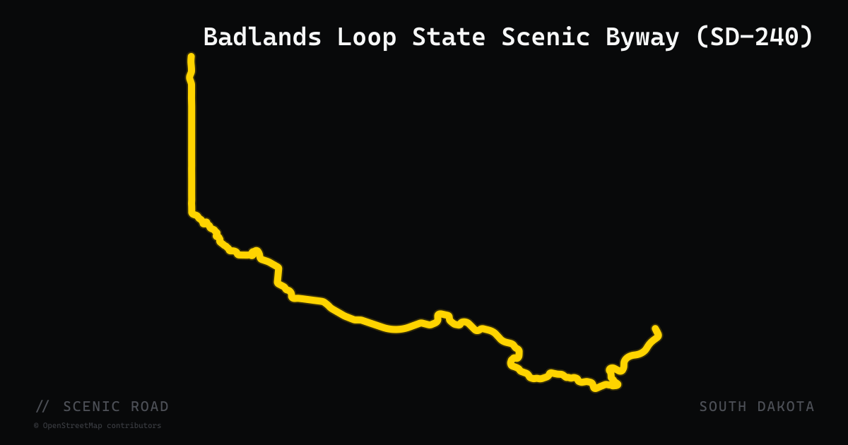
scenic road · south dakota
Badlands Loop State Scenic Byway (SD-240)
SD-240 twists for 39 miles through Badlands National Park between Cactus Flat and Wall, curving through a wall of eroded pinnacles and buttes with 16 scenic overlooks. There is no fuel inside the park, and summer heat on the exposed prairie can be intense.
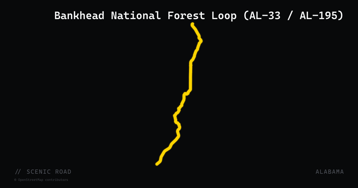
scenic road · alabama
Bankhead National Forest Loop (AL-33 / AL-195)
A 46-mile loop through William B. Bankhead National Forest — Alabama's largest national forest and home to the only National Wild and Scenic River in the state (Sipsey Fork). The route follows AL-33 from Moulton deep into the Sipsey Wilderness canyon country, then returns via AL-195 toward Double Springs. Constant sweepers along limestone bluffs, four recreation areas, and dozens of waterfalls with almost zero traffic.
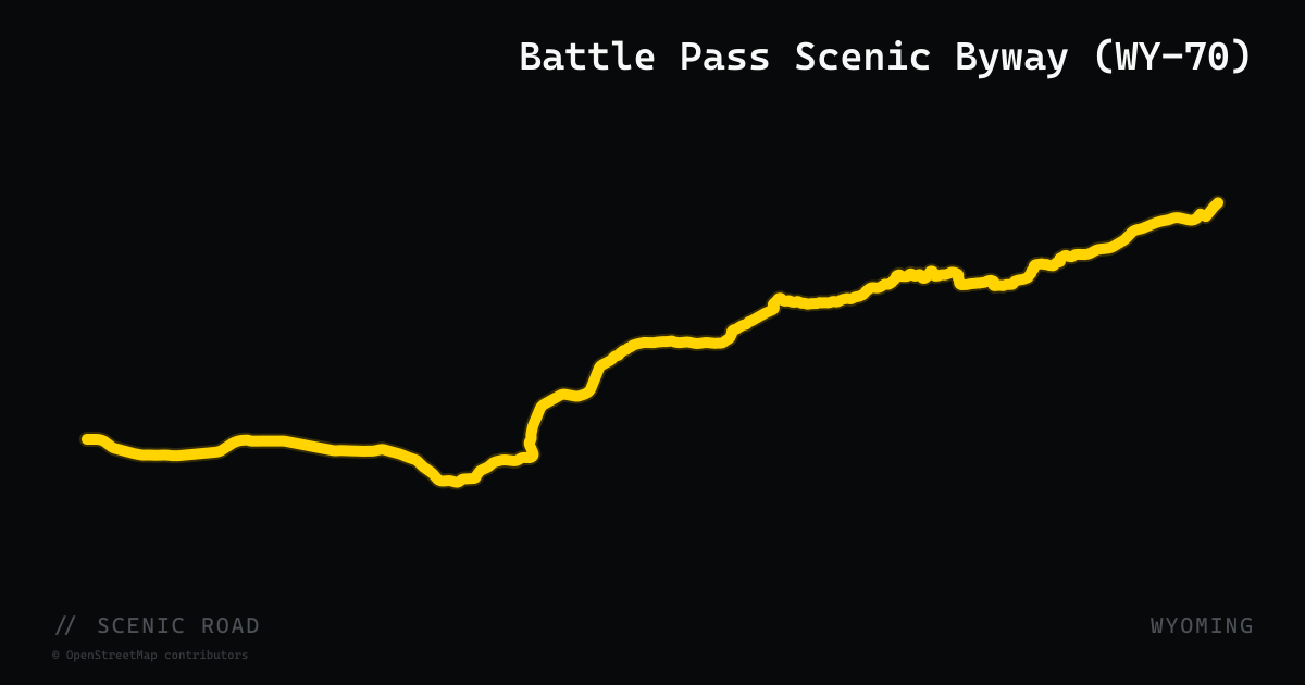
scenic road · wyoming
Battle Pass Scenic Byway (WY-70)
A 57-mile paved route along WY-70 through the rarely visited Sierra Madre Mountains in Medicine Bow National Forest, running from Encampment to Baggs. The road crests Battle Pass at 9,955 ft on the Continental Divide, with tight curves through granite peaks and glacial lakes on the descent toward Savery. Light traffic, wide shoulders, and nearly zero crowds make this the most underappreciated high-altitude run in Wyoming.
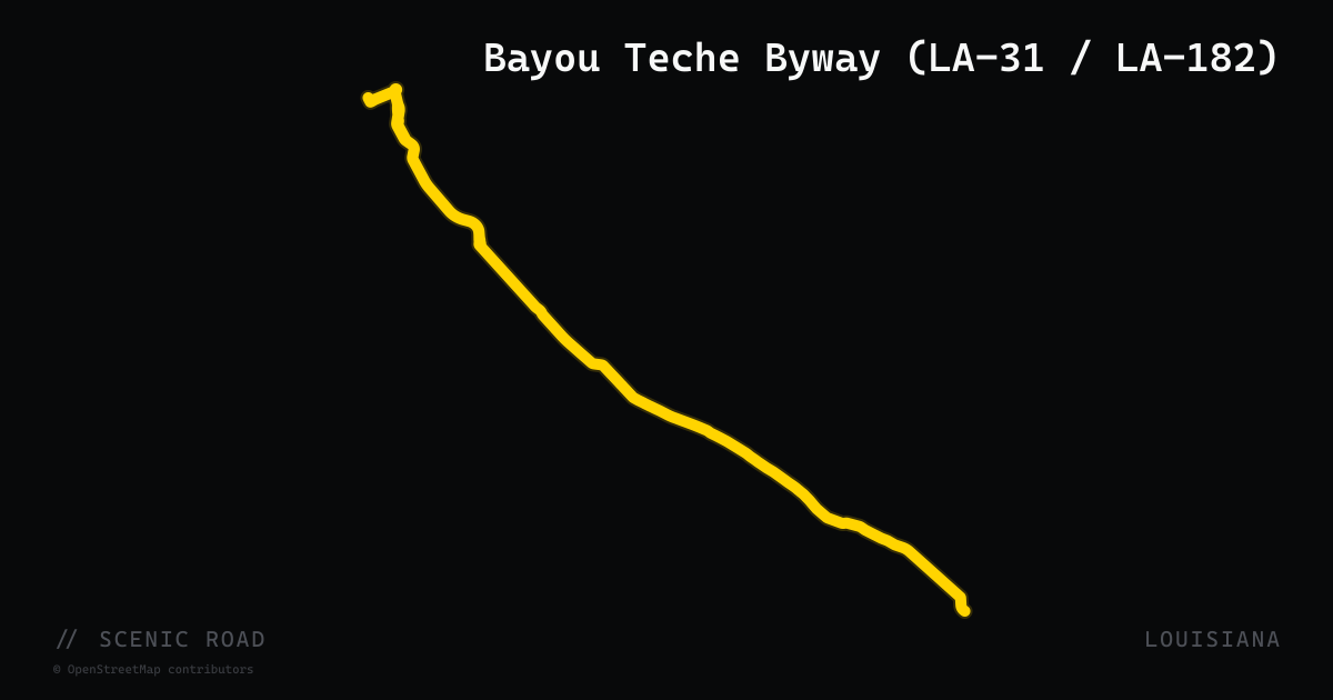
scenic road · louisiana
Bayou Teche Byway (LA-31 / LA-182)
A 125-mile National Scenic Byway following the Bayou Teche waterway from Arnaudville south to Morgan City through St. Martin, Iberia, and St. Mary parishes. LA-31 and LA-182 wind together along a former channel of the Mississippi River, passing Spanish moss-draped live oaks, antebellum homes, cane fields, and Cajun towns including Breaux Bridge, St. Martinville, New Iberia, and Franklin. The road traces the heart of the Atchafalaya National Heritage Area at a relaxed, flat pace.
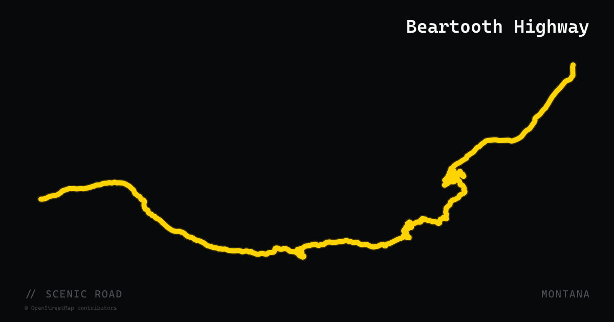
scenic road · montana
Beartooth Highway
68 miles of US-212 climbing to 10,947 ft over Beartooth Pass — switchbacks, alpine tundra, and the high road into Yellowstone's northeast gate.
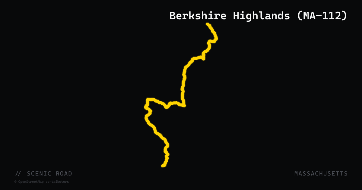
scenic road · massachusetts
Berkshire Highlands (MA-112)
Route 112 runs north-south through the central Berkshire highlands from Huntington north through Plainfield and Colrain, connecting the Jacob's Ladder corridor (US-20) to the Mohawk Trail (MA-2). The two-lane road rolls through open farmland, cuts through tunnel-like tree canopy, and passes small hilltowns with minimal traffic. Used by local riders as a north-south spine linking the two great Berkshire east-west routes into a full-day loop. The landscape is more rural and less-traveled than parallel US-7.
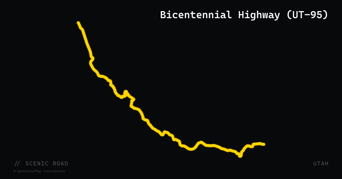
scenic road · utah
Bicentennial Highway (UT-95)
164-mile state highway from Hanksville southwest to Blanding through some of southern Utah's most remote canyon country. Completed in 1976 for the U.S. Bicentennial, the route crosses over the Colorado River at Hite (Lake Powell), passes the only vehicle access to Natural Bridges National Monument (three massive sandstone bridges named Sipapu, Kachina, and Owachomo), and travels through the Bears Ears landscape. Fully paved, lightly trafficked, long stretches between services. Officially designated the Bicentennial National Scenic Byway.
scenic road · florida
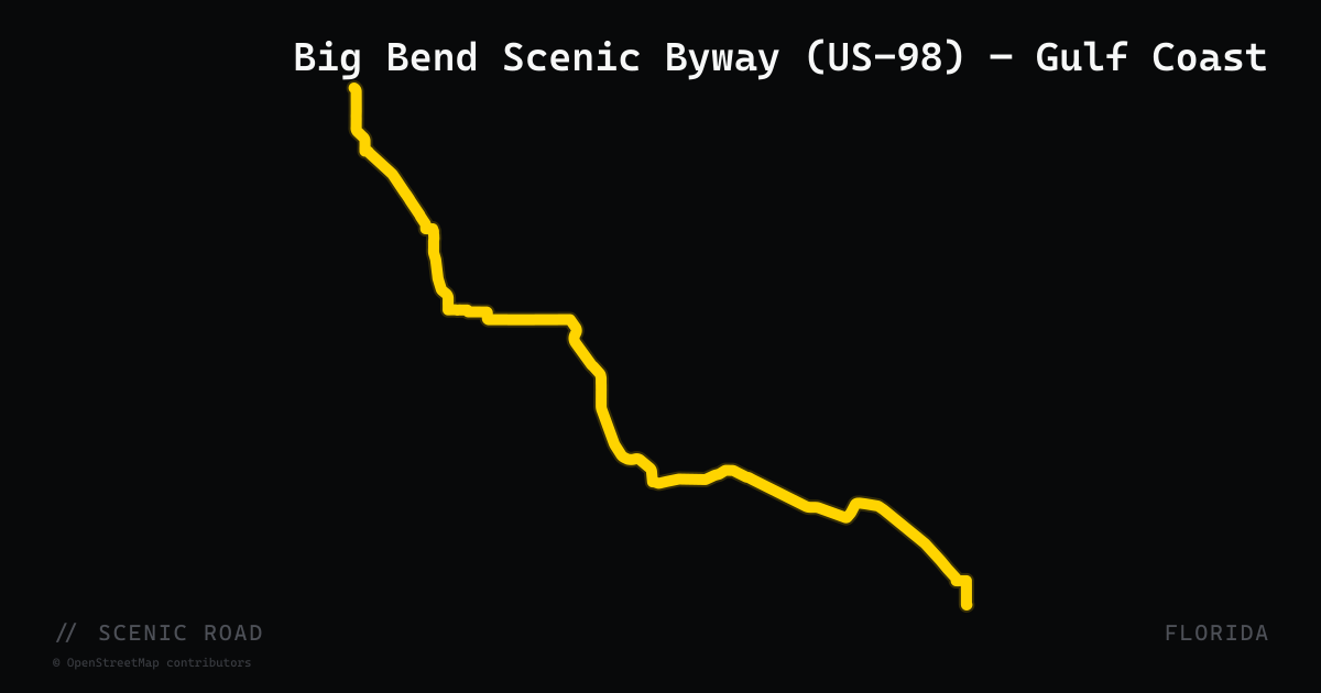
Big Bend Scenic Byway (US-98) — Gulf Coast
A 220-mile loop from Tallahassee along the Gulf Coast through Florida's largely undiscovered Big Bend region, where the state's northern coast curves westward. The primary motorcycle segment follows US-98 from Apalachicola east through Carabelle, Panacea, and Wakulla County — roughly 40 miles where the highway hugs the coastline closely with open Gulf views and light traffic. The loop also includes a forest trail section on SR-20 through the 632,000-acre Apalachicola National Forest. The Apalachicola estuary produces 90% of Florida's oysters. Known locally as Florida's Forgotten Coast for its absence of high-rise development.
scenic road · california
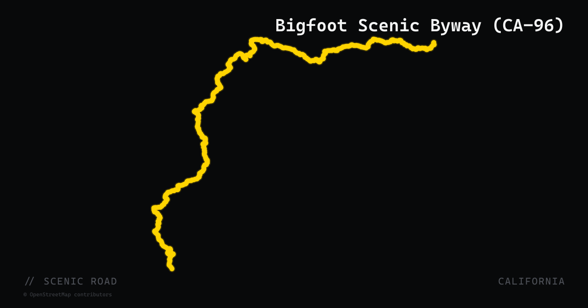
Bigfoot Scenic Byway (CA-96)
CA-96 follows the Trinity and Klamath Rivers through 150 miles of remote Northern California wilderness between Willow Creek (Humboldt County) and Yreka (Siskiyou County). The federally designated Bigfoot Scenic Byway covers the Willow Creek–to–Happy Camp segment — roughly 88 miles of river-canyon riding through Klamath National Forest, Hoopa Valley Tribal lands, and the fringe of the Marble Mountain Wilderness. The road alternates between mile-long sweepers and tight 20-mph canyon bends near Hoopa. Traffic is thin, towns are tiny (Orleans, Weitchpec, Seiad Valley), and the Klamath River corridor — one of California's last free-flowing river systems — frames every mile. Best ridden April through November.
scenic road · wyoming
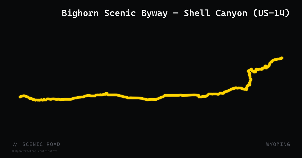
Bighorn Scenic Byway — Shell Canyon (US-14)
A 57-mile National Scenic Byway along US-14 between Shell and Dayton, crossing the Bighorn National Forest via Granite Pass (9,033 ft). The western approach ascends through Shell Canyon's sheer limestone and dolomite walls past the 120-foot plunge of Shell Falls, gaining 4,600 ft in 18 miles. Meets the Medicine Wheel Passage (US-14A) at Burgess Junction on the summit plateau.
scenic road · new mexico
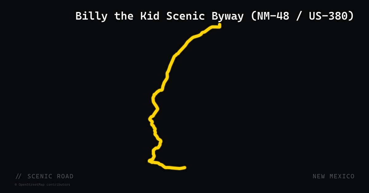
Billy the Kid Scenic Byway (NM-48 / US-380)
The Billy the Kid National Scenic Byway is an 84-mile loop through Lincoln County in south-central New Mexico. The circuit connects the mountain resort town of Ruidoso (via NM-48 north through the Sacramento Mountains and Lincoln National Forest) with the historic Lincoln town site via US-380 — the same road where Billy the Kid made his 1881 jail break from the Lincoln County Courthouse. Sierra Blanca Peak (11,981 feet) dominates the western skyline. US-70 along the southern leg cuts through the Mescalero Apache Reservation past the Inn of the Mountain Gods and Ruidoso Downs racetrack. The byway is accessible at Ruidoso Downs via a visitor center on US-70.
scenic road · montana
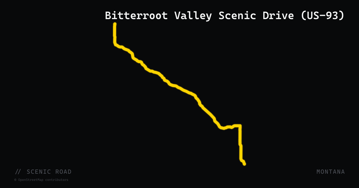
Bitterroot Valley Scenic Drive (US-93)
US-93 runs roughly 100 miles along the Bitterroot Valley from Missoula south through Florence, Stevensville, Victor, Hamilton, and Darby toward the Lost Trail Pass on the Idaho border. The road follows the base of the jagged Bitterroot Range to the west and the rolling Sapphire Mountains to the east, passing St. Mary's Mission (Montana's first permanent settlement) and the Lee Metcalf National Wildlife Refuge. South of Conner the road climbs and begins to wind through alpine terrain with notable switchbacks. An official Montana Scenic Drive.
scenic road · north carolina
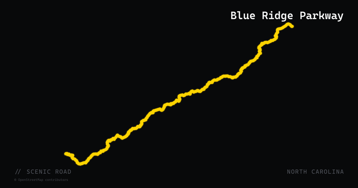
Blue Ridge Parkway
469 miles of high-elevation ridge riding from Shenandoah to Great Smoky Mountains.
scenic road · maine
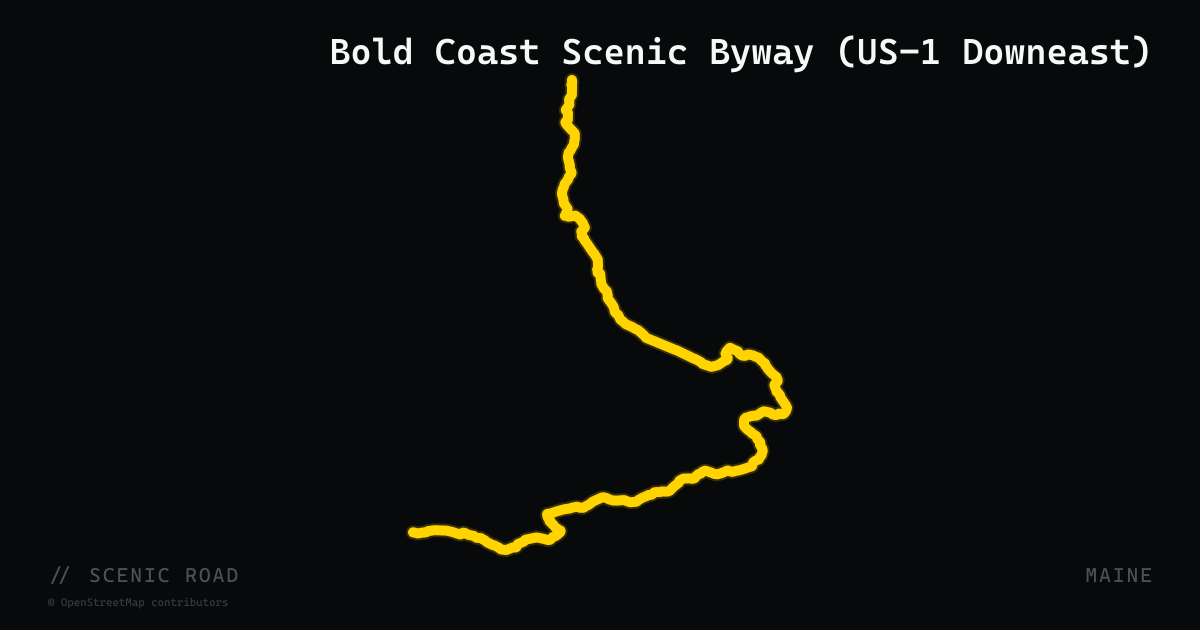
Bold Coast Scenic Byway (US-1 Downeast)
A 125-mile designated Maine Scenic Byway beginning in Milbridge and ending in Calais, following US-1 and connecting spur roads through Washington County's Downeast coast. The corridor passes through the working waterfronts of Milbridge and Jonesport, the historic riverside villages of Cherryfield, Columbia Falls, and Machias, and along the rugged rocky shoreline that gives the Bold Coast its name. This is the least-traveled section of coastal Maine — almost no seasonal resort traffic — with authentic lobster wharves, blueberry barrens, and wild headlands along the Canadian border. The byway was designated a Maine State Scenic Byway in 2011.
scenic road · arkansas
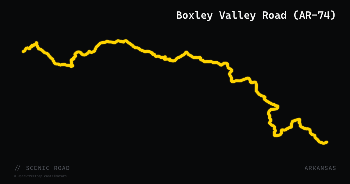
Boxley Valley Road (AR-74)
Arkansas Highway 74 through Boxley Valley runs roughly from Huntsville west and north to Ponca at the Buffalo National River, threading through the upper Buffalo River corridor in Newton County. The road winds along crystal-clear streams and through wooded hollows, delivering smooth sweepers in the valley sections and more technical curves near Ponca. The valley is home to a free-roaming elk herd — one of the few places in Arkansas where elk can be reliably spotted from the road. Ponca itself sits at the doorstep of the Buffalo National River Wilderness with access to bluffs, caves, and outfitter services. The route connects to AR-21 (Ozark Highlands Byway) at Boxley, making it a natural pairing for a Boston Mountains loop. Traffic is extremely light.
scenic road · vermont
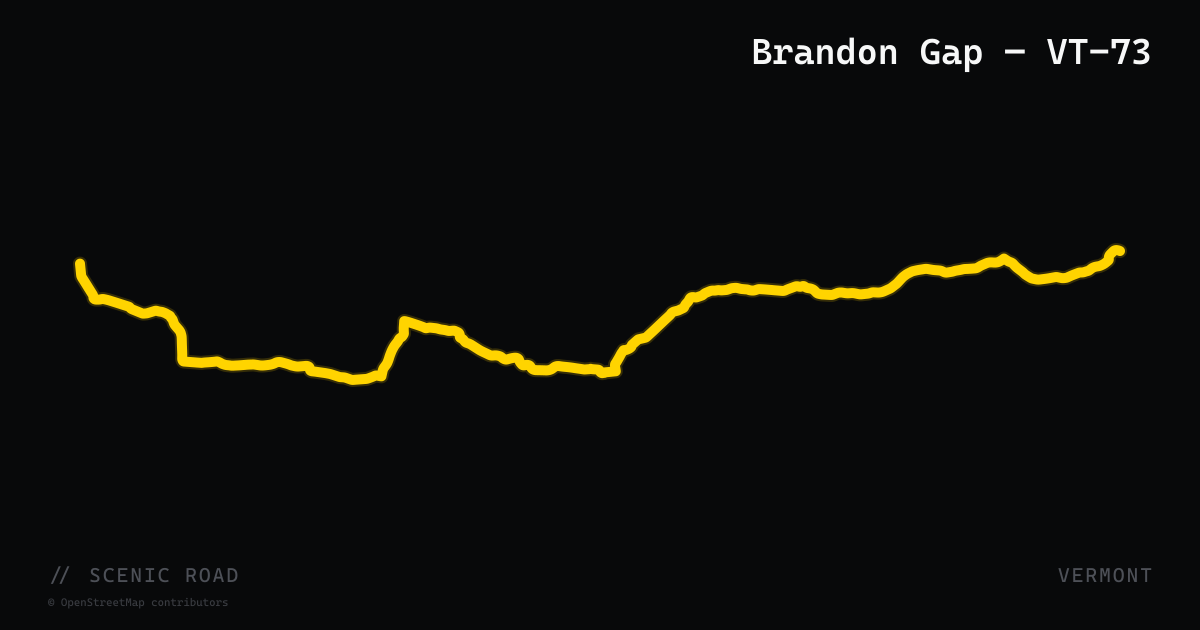
Brandon Gap — VT-73
Vermont Route 73 runs 36 miles from Shoreham in the west to Rochester on VT-100 in the east, crossing the Green Mountains through Brandon Gap. The gap section climbs through forest between Brandon and Rochester, reaching elevations near 2,200 feet, with a cliff-face observation pull-off at the top allowing riders to view the sheer face of Mount Horrid above. The road is lightly traveled compared to the gap roads further north, making it one of the more peaceful Green Mountain crossings. The western approach passes through Brandon, a village with a notable arts scene and direct US-7 access, while the eastern descent drops into Rochester on VT-100.
scenic road · delaware
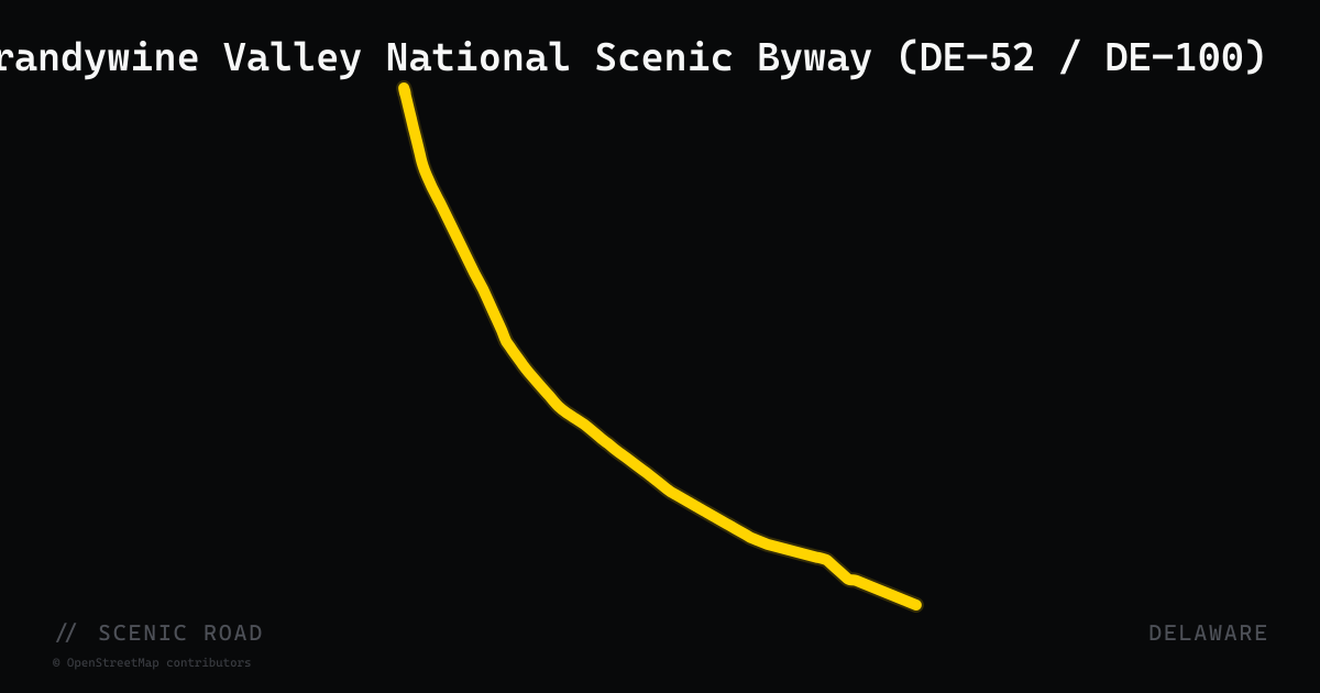
Brandywine Valley National Scenic Byway (DE-52 / DE-100)
A 12.25-mile Y-shaped National Scenic Byway running north from Rodney Square in Wilmington to the Pennsylvania state line through northern New Castle County. The main arm follows DE-52 (Kennett Pike) through the wooded estate corridors of Greenville and Centerville, passing Winterthur Museum, Hagley Museum, Nemours Mansion, and Brandywine Creek State Park. The shorter alternate arm branches off along DE-100 (Montchanin Road) through the village of Montchanin. Rolling hills and canopied curves through the historic Du Pont 'Chateau Country' make this the most technically engaging riding in an otherwise flat state. Designated a Delaware Byway in 2002 and a Federal National Scenic Byway in 2005.
scenic road · georgia
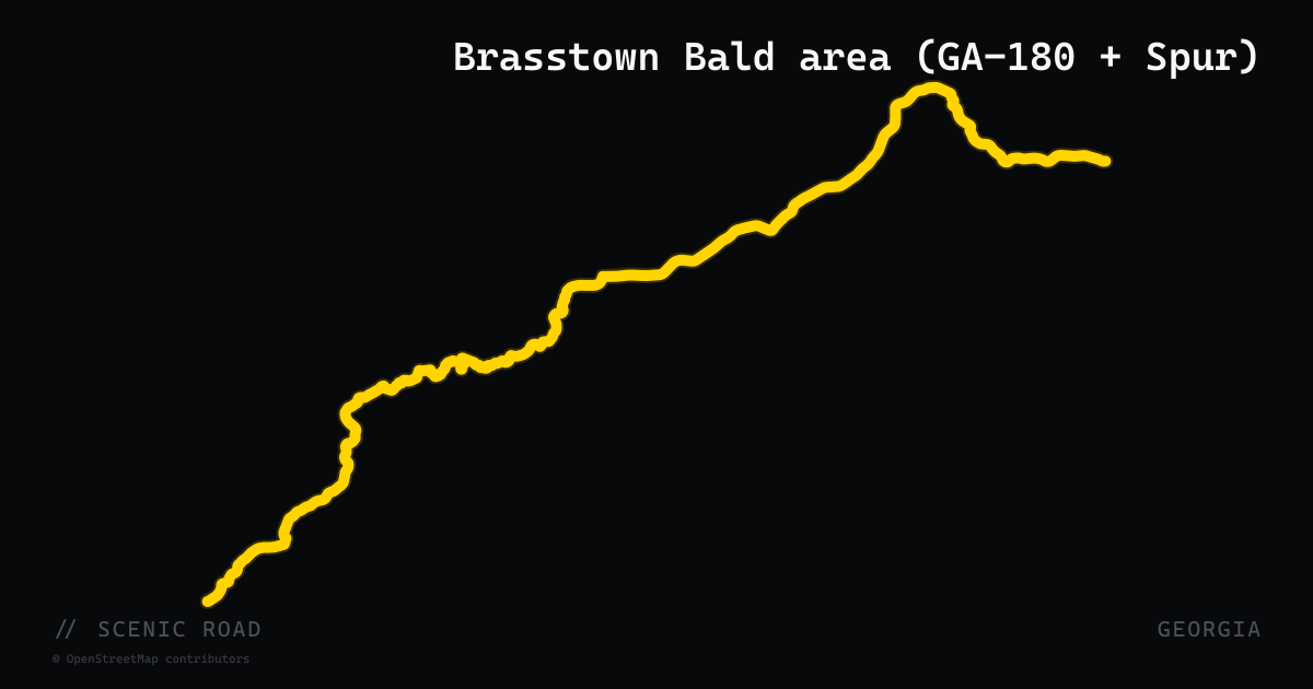
Brasstown Bald area (GA-180 + Spur)
~18 mi plus 2.5 mi spur to Georgia's highest peak (4,784 ft). Pairs perfectly with the Russell.
scenic road · nebraska
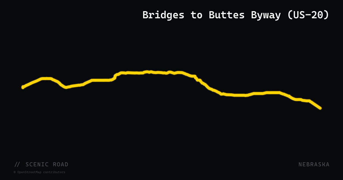
Bridges to Buttes Byway (US-20)
A 197-mile Nebraska-designated scenic byway along US-20 from the Wyoming border east to Valentine. The route traverses three distinct landscapes: rolling Sandhills grasslands on the eastern end, valley pine bluffs through the Nebraska National Forest and Fort Robinson State Park in the middle, and open prairie at the Oglala National Grassland approaching Wyoming. Access points include Agate Fossil Beds National Monument and Toadstool Geologic Park. A portion between Fort Robinson and Hay Springs is also designated the Crazy Horse Memorial Highway.
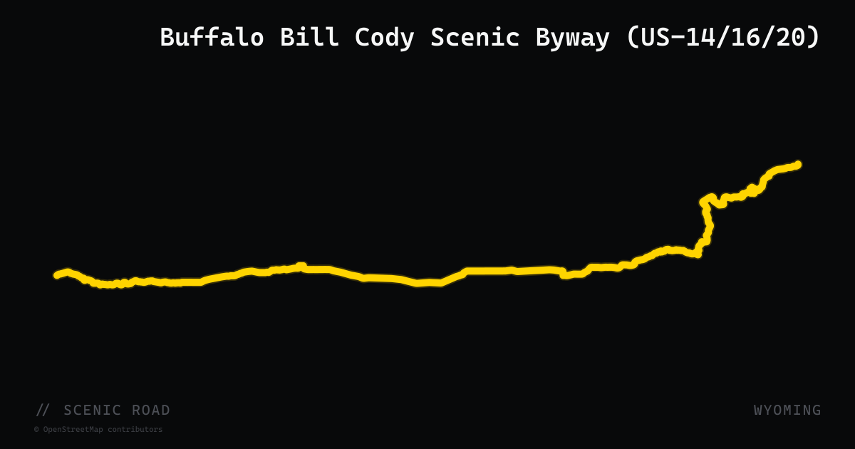
scenic road · wyoming
Buffalo Bill Cody Scenic Byway (US-14/16/20)
A 27-mile National Forest Scenic Byway along US-14/16/20 through Wapiti Valley and Shoshone National Forest, connecting Cody to Yellowstone's East Entrance. Theodore Roosevelt called it 'the most scenic 50 miles in the world.' The route follows the North Fork of the Shoshone River through dramatic volcanic rock formations, past the historic Wapiti Ranger Station and classic dude ranches, with abundant wildlife sightings.
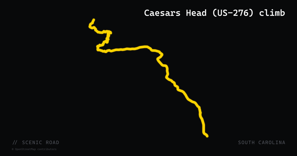
scenic road · south carolina
Caesars Head (US-276) climb
Cleveland, SC up to Caesars Head State Park summit, ~6 mi of SC climbing. Tight switchbacks, steep grades up the Blue Ridge Escarpment, decreasing-radius turns, ~3,200 ft summit. **SC's most technical paved mountain road.**
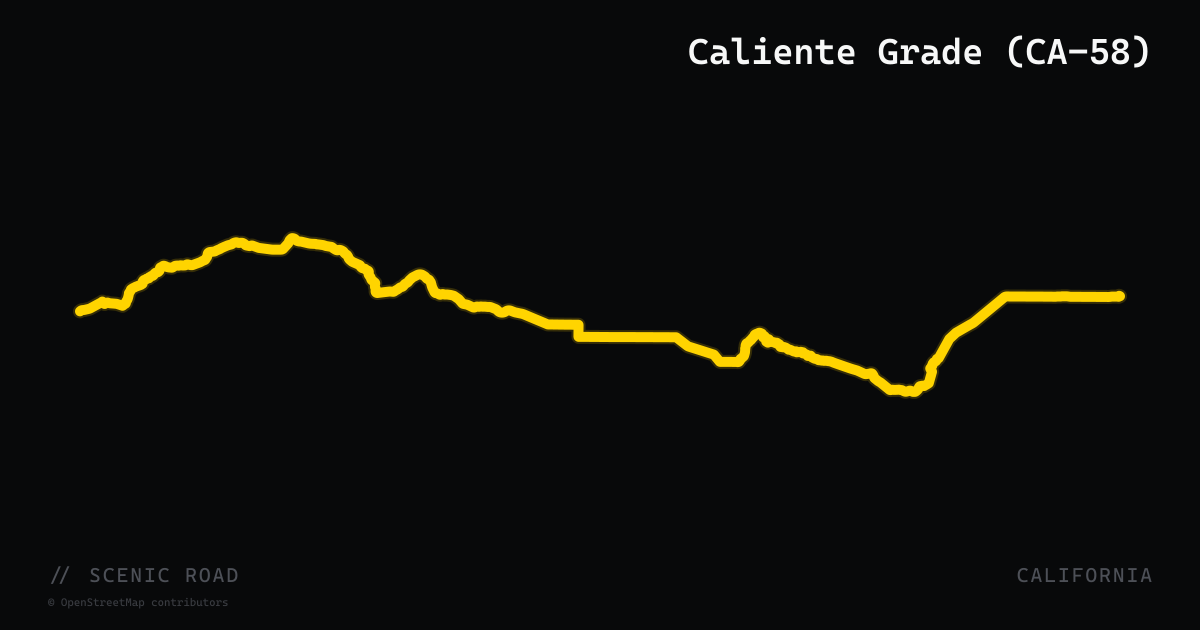
scenic road · california
Caliente Grade (CA-58)
The 72-mile stretch of CA-58 between Santa Margarita (near US-101) and CA-33 near Taft crosses two low mountain ranges through sparsely populated San Luis Obispo County backcountry. Highlights include Calf Canyon — where broad sight lines set up a series of banked, well-engineered curves — and the Temblor Range crest at 3,250 feet, where the road swoops with enough vertical to briefly unweight the suspension. The California Valley flats in between deliver long open-throttle straights with spring wildflower displays in wet years. Pavement is consistently excellent and traffic is minimal. Plan fuel carefully: no services for roughly 82 miles through the remote middle section.
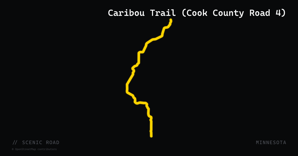
scenic road · minnesota
Caribou Trail (Cook County Road 4)
The Caribou Trail is Cook County Road 4, a paved road that departs MN-61 at milepost 92 near Lutsen and climbs into the Sawtooth Mountains of the Superior National Forest, reaching Caribou Lake approximately 4 miles in and continuing into the interior highlands. The road provides access to the Pancore-Rice Lake scenic loop (approximately 13 miles total), which features a mix of deciduous and conifer forest, water views, and two crossings of the Poplar River. The Caribou Trail trailhead at MN-61 is a Superior Hiking Trail access point, and the road corridor offers views back toward Lake Superior as it gains elevation. The route is popular with riders using MN-61 as their spine who want a paved side trip into the Superior National Forest backcountry above the North Shore. The road ends at the BWCA boundary.
scenic road · oregon
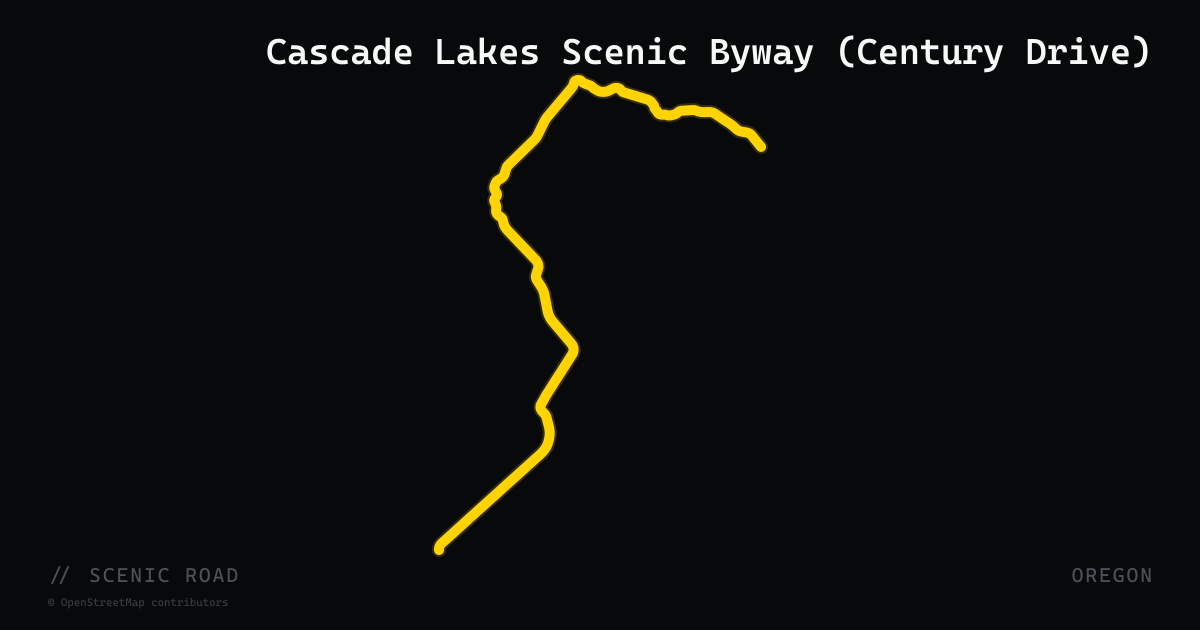
Cascade Lakes Scenic Byway (Century Drive)
The Cascade Lakes Scenic Byway — locally known as Century Drive — is a 66-mile loop through the Deschutes National Forest west and south of Bend, designated a National Scenic Byway. The route leaves Bend on OR-372 (Century Drive), enters the national forest as Forest Route 46, and passes more than a dozen alpine lakes set against the backdrop of Mount Bachelor, Broken Top, and the Three Sisters. Elevations peak near 6,500 feet. The byway is seasonal, typically open June through November depending on snowpack. Riders can extend the loop south to Sunriver or La Pine on the return.
scenic road · arizona
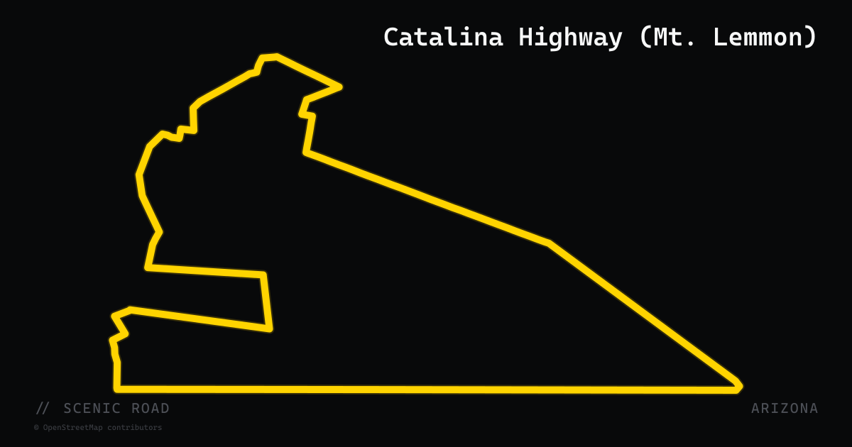
Catalina Highway (Mt. Lemmon)
The Catalina Highway, officially the General Hitchcock Highway and designated the Sky Island Scenic Byway, climbs 27 miles from northeast Tucson (2,800 feet) to near the summit of Mount Lemmon (9,157 feet) in the Santa Catalina Mountains — a 6,300-foot gain through six distinct vegetation zones in a single road. The lower desert section features open sweepers with saguaro and ocotillo; the upper section narrows into pine-shaded curves past granite formations and the small alpine resort village of Summerhaven. The highway is a Forest Highway (Arizona FH-39) maintained within Coronado National Forest and is not numbered as an AZ state route. It is uniquely notable for compressing a drive from Sonoran Desert to Canadian-zone spruce forest in under 30 miles — the ecological equivalent of driving from Mexico to Canada.
scenic road · maryland
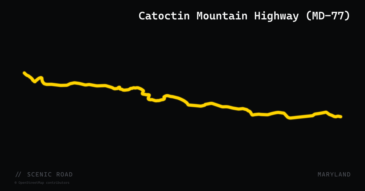
Catoctin Mountain Highway (MD-77)
Maryland Route 77 runs 20.74 miles east-west through northern Maryland, ascending South Mountain before descending Catoctin Mountain along the narrow Hunting Creek valley. The road threads between Cunningham Falls State Park to the south and the National Park Service-managed Catoctin Mountain Park to the north — the same forested ridge sheltering Camp David. The highway is designated as both the Journey Through Hallowed Ground Byway and the Old Main Streets Scenic Byway, and passes through Thurmont (junction with US-15) before extending east through Rocky Ridge to Keymar. Densely forested twisties through the park corridor are the draw; fruit stands and a covered bridge punctuate the quieter eastern farmland section.
scenic road · maryland
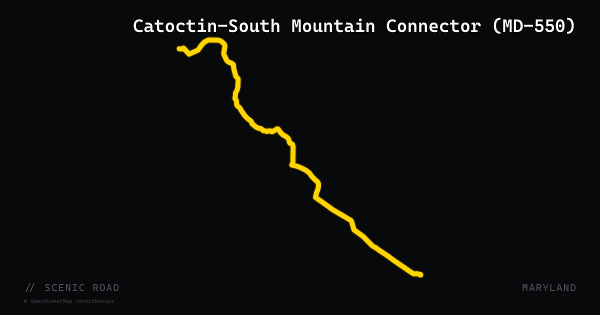
Catoctin-South Mountain Connector (MD-550)
Maryland Route 550 runs 24.43 miles from Libertytown north to Fort Ritchie (Pen Mar Road), linking Frederick and Washington counties through a mix of open Monocacy Valley farmland and forested Catoctin and South Mountain terrain. The highway connects Woodsboro, Creagerstown, Thurmont, and Sabillasville, passing along the northern edge of Catoctin Mountain Park before cresting South Mountain near the Pennsylvania state line at Blue Ridge Summit. It is part of the Journey Through Hallowed Ground Byway. Fruit stands, 18th-century farmhouses, and the Victor Cullen Center dot the roadside; the northern stretch becomes genuinely mountainous as it approaches Pen Mar County Park. Pairs well with MD-77 and MD-491 for a natural Catoctin-South Mountain loop.
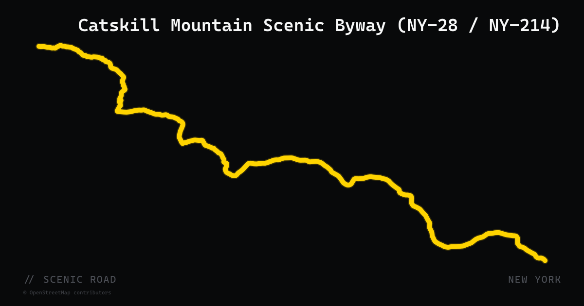
scenic road · new york
Catskill Mountain Scenic Byway (NY-28 / NY-214)
The 52-mile Catskill Mountain Scenic Byway follows New York State Route 28 through the Central Catskills from Kingston west through Woodstock, Phoenicia, Shandaken, and Big Indian. Just past Phoenicia, NY-214 branches north through Stony Clove Notch — a narrow, heavily forested mountain pass between Hunter and Plateau Mountains — connecting to the Great Northern Catskills at Hunter. The corridor passes the Phoenicia Diner, the Catskill Center, and multiple trailheads into the Catskill High Peaks. NY-28 is a designated New York State Scenic Byway.
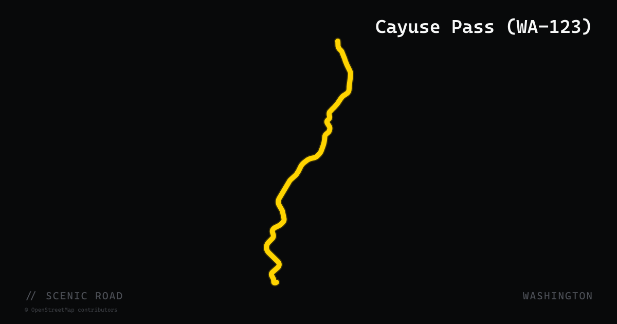
scenic road · washington
Cayuse Pass (WA-123)
WA-123 is a 20-mile two-lane road running north through the east side of Mount Rainier National Park from its junction with US-12 near Packwood to Cayuse Pass (4,675 ft) where it meets WA-410. The road follows the Ohanapecosh River corridor through old-growth forest before ascending to the Cascade crest alongside Stevens Canyon Road's dramatic switchbacks. Combined with WA-410, it forms the classic Rainier loop — riders can string Chinook Pass (WA-410) and White Pass (US-12) into a single circuit. Seasonal closure (November through late May) matches WA-410.
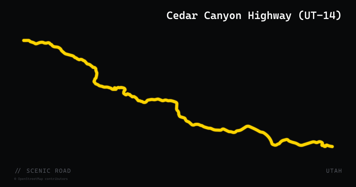
scenic road · utah
Cedar Canyon Highway (UT-14)
41-mile state highway running from Cedar City east to Long Valley Junction (US-89). The route climbs 2,760 feet through the Ashdown Gorge narrows onto the Markagunt Plateau, passing a small geologic amphitheater and a Zion Overlook near 10,000 feet with views down into Zion canyon country. Road narrows significantly in the gorge; limited sight lines on curves require caution. The highway connects Cedar City — hub for Iron County and southern Utah national parks — with the Bryce/Zion corridor on US-89.
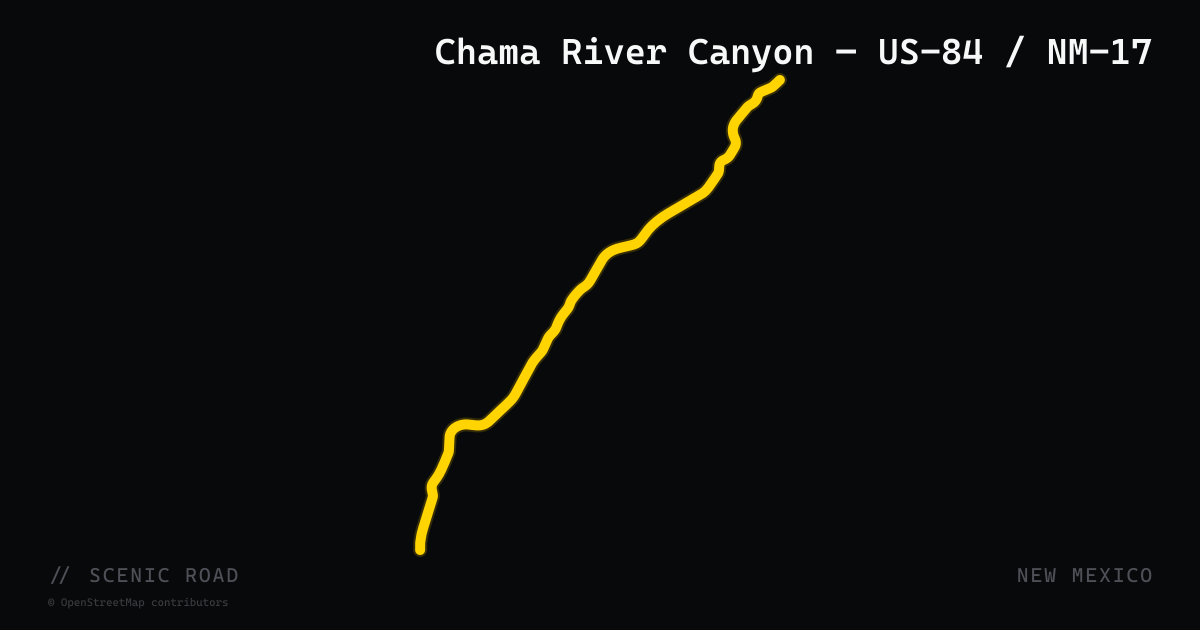
scenic road · new mexico
Chama River Canyon — US-84 / NM-17
The Chama area anchors two complementary motorcycle roads in northwestern New Mexico. US-84 north from Abiquiú follows the Chama River through Georgia O'Keeffe's painted-cliff country — the red and ochre canyon walls inspired decades of her work — past Ghost Ranch and up to the Old West town of Chama (7,800 feet) at the Colorado border. From Chama, NM-17 (which becomes Colorado State Highway 17 at the state line) climbs northeast over Cumbres Pass (10,022 feet) through the same high-mountain meadows that the narrow-gauge Cumbres and Toltec Scenic Railroad traverses on 64 miles of track between Chama and Antonito, Colorado. The pairing of US-84's canyon drama with NM-17's alpine pass makes Chama a natural overnight base for a two-day northern New Mexico loop.
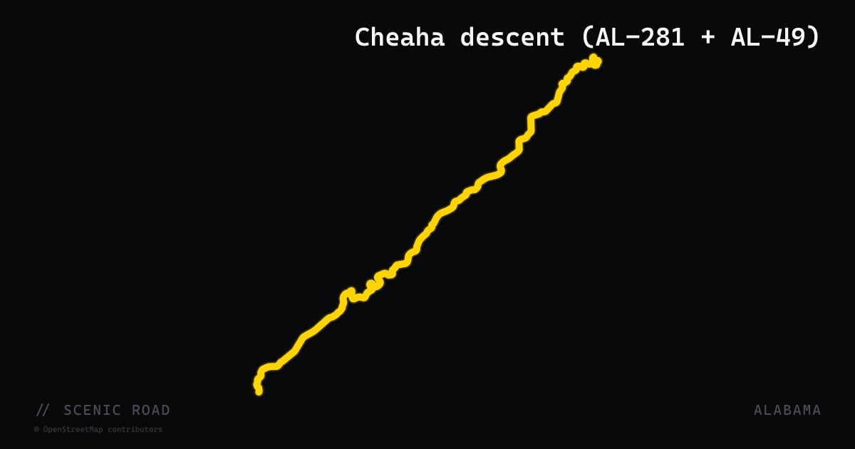
scenic road · alabama
Cheaha descent (AL-281 + AL-49)
Cheaha State Park summit to Lineville, ~15–20 mi. Several genuine switchbacks and decreasing-radius turns off Cheaha. Honestly milder than Tail of the Dragon, but Alabama's best. Watch for gravel on shaded curves.
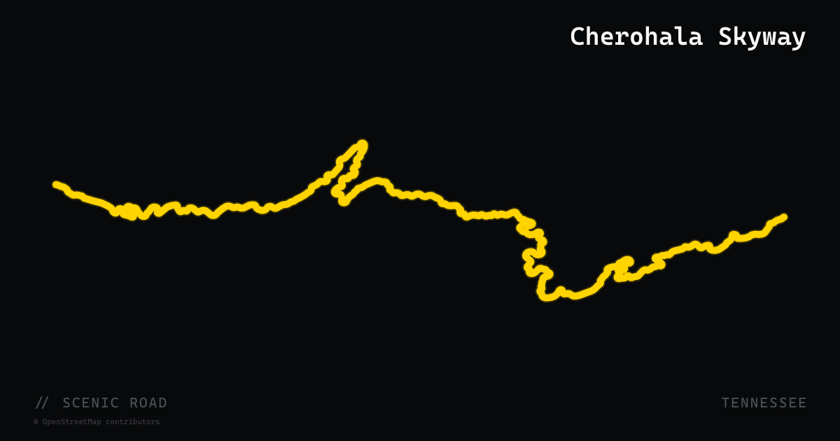
scenic road · tennessee
Cherohala Skyway
43-mile high-elevation ride across the Cherokee and Nantahala forests.
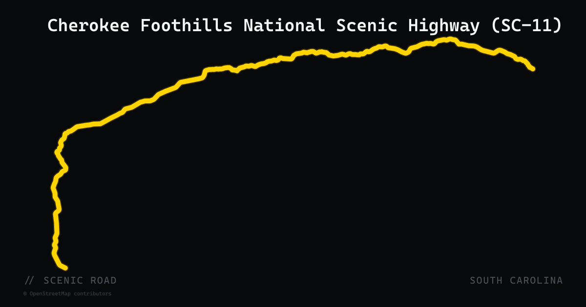
scenic road · south carolina
Cherokee Foothills National Scenic Highway (SC-11)
GA border to NC border, ~120 mi. National Scenic Byway through the southernmost Blue Ridge foothills; Table Rock SP, peach orchards, 120+ waterfalls accessible from spurs. Mostly sweeping — relaxed bagger cruise.
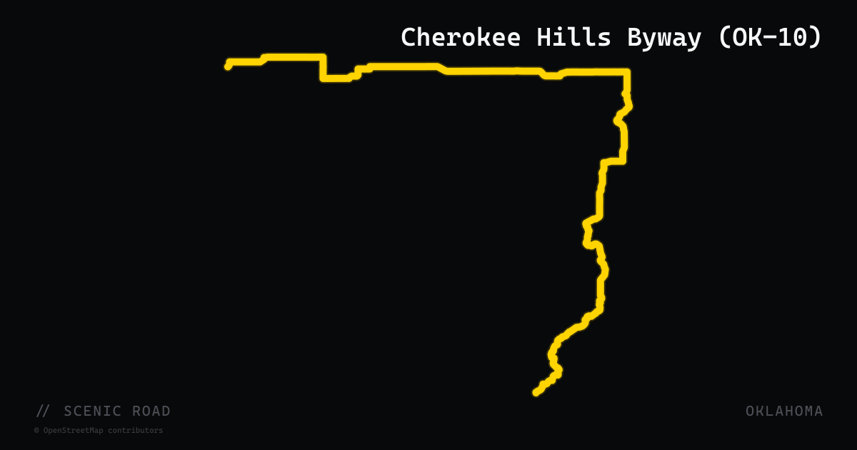
scenic road · oklahoma
Cherokee Hills Byway (OK-10)
Oklahoma's Cherokee Hills National Scenic Byway (designated 2009) runs 84 miles along State Highway 10 from Gore north through Tahlequah to West Siloam Springs on the Arkansas border. The southern half traces the eastern shore of Lake Tenkiller through forested Cookson Hills, while the northern stretch parallels the clear waters of the Illinois River past stone bluffs and dense Ozark foothills. OK-10 through the Tahlequah corridor is noted for long, flowing sweepers, limited sight lines around blind wooded corners, and consistent tree canopy. The Cherokee Nation capital at Tahlequah is on-route.
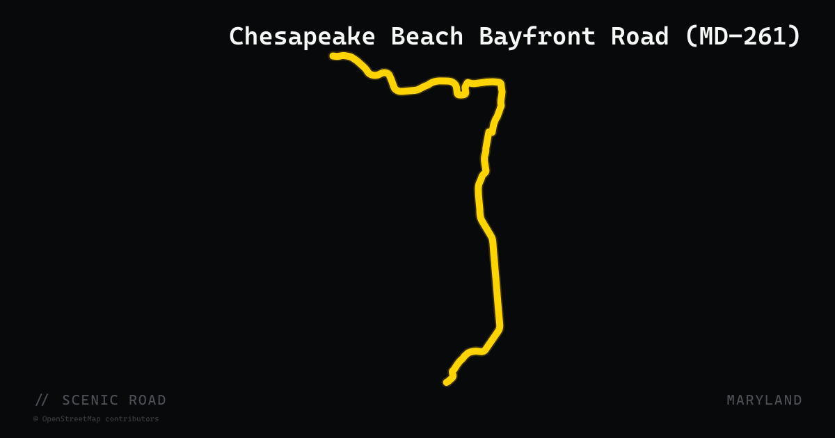
scenic road · maryland
Chesapeake Beach Bayfront Road (MD-261)
Maryland Route 261 runs 12.86 miles along the western Chesapeake Bay shoreline from Parran (Calvert County) north to Friendship (Anne Arundel County), passing through the beach towns of Chesapeake Beach and North Beach and the forested Rose Haven shoreline. The road is part of the Roots and Tides Scenic Byway and parallels the bay closely as Bayside Road and Willows Road, passing the preserved Chesapeake Beach Railway Station (now a museum) and historic Holly Hill near Friendship. The ride itself is flat and shoreline-hugging rather than twisty, making it a scenic complement to the longer St. Mary's County loops or a standalone lunch-and-waterfront run out of the DC/Annapolis area.
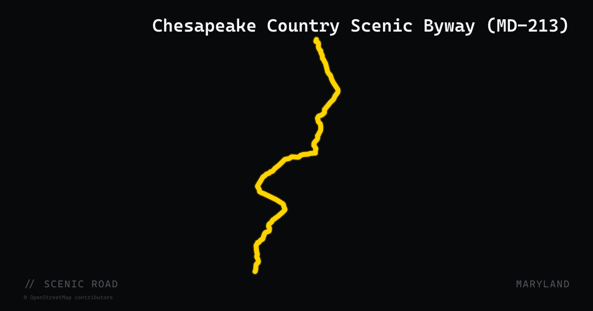
scenic road · maryland
Chesapeake Country Scenic Byway (MD-213)
Maryland Route 213 spans 68.25 miles up the Eastern Shore from Wye Mills (Queen Anne's County) north to the Pennsylvania state line near Fair Hill (Cecil County), threading through Centreville, Chestertown, Galena, Cecilton, and Chesapeake City. The entire route from its southern terminus to Chesapeake City is designated by the state as the Chesapeake Country Scenic Byway, with the portion north of MD-18 holding National Scenic Byway status, and the northern section carrying Atlantic to Appalachians Scenic Byway designation. The highway bridges the Chester River, Sassafras River, and the Chesapeake and Delaware Canal on a 1949 tied-arch drawbridge at Chesapeake City. Two-lane and largely rural, the road passes through some of the Eastern Shore's most intact agricultural and tidal landscape.
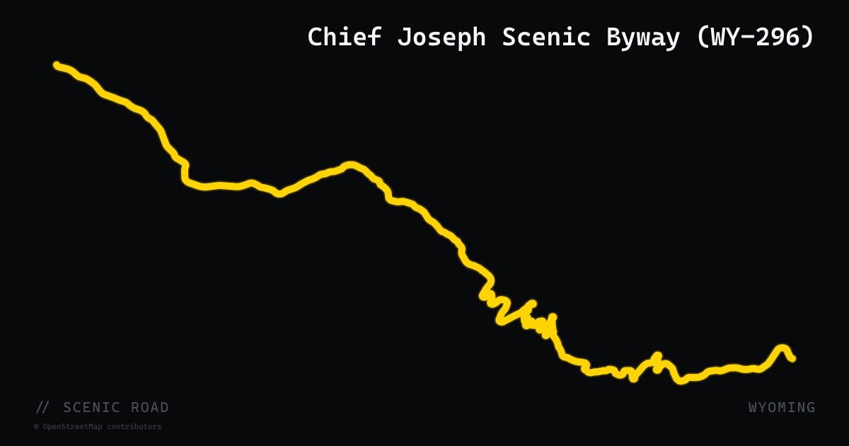
scenic road · wyoming
Chief Joseph Scenic Byway (WY-296)
N of Cody to the Beartooth Highway junction, ~46–47 mi. Climbs to **Dead Indian Pass (8,000+ ft)** with seven dramatic switchbacks, then flowing curves through the Clarks Fork Valley. Sunlight Bridge is Wyoming's highest at 285 ft. **Pairs perfectly with Beartooth for a 160-mi Cody loop.**
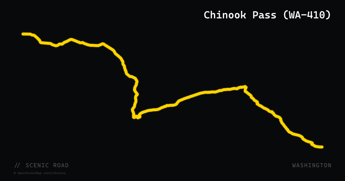
scenic road · washington
Chinook Pass (WA-410)
WA-410 climbs from the Naches River valley west through the Cascades to Chinook Pass at 5,430 feet on the eastern boundary of Mount Rainier National Park, then descends into Enumclaw. The 95-mile run offers consistent two-lane curves through old-growth forest, subalpine meadows, and river canyon — peaking at Tipsoo Lake with a direct view of Mount Rainier across the water. The road is designated an All-American Road as part of the Chinook Pass Scenic Byway. Seasonal closure applies: the summit section is typically closed November through late May due to snow.
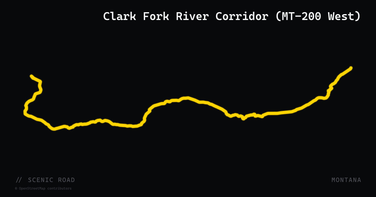
scenic road · montana
Clark Fork River Corridor (MT-200 West)
The western 85-mile section of Montana Highway 200 from the Idaho state line east to Dixon, hugging the Clark Fork River at the foot of the Cabinet Mountains. The route passes through Thompson Falls — an 1885-era mining town where a dam overlook rewards a brief stop — and Trout Creek, famed for huckleberries. A designated 'Montana Tour 200' segment, the road offers river valley riding through remote country with occasional moose and elk crossings and minimal traffic.
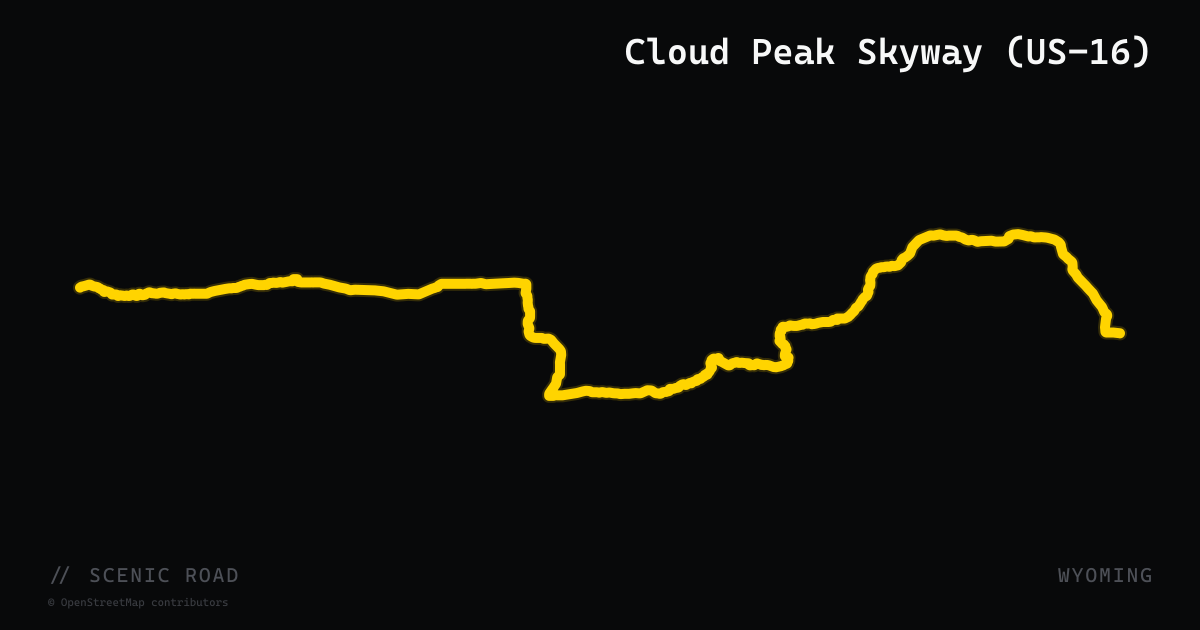
scenic road · wyoming
Cloud Peak Skyway (US-16)
A 47-mile National Scenic Byway along US-16, the southernmost paved crossing of the Bighorn National Forest, running between Buffalo and Ten Sleep. The road crests Powder River Pass at 9,666 ft with views of Cloud Peak (13,167 ft), then descends through the dramatic limestone walls of Ten Sleep Canyon. One of the most rider-friendly Bighorn crossings — flowing curves, minimal truck traffic, and the narrow canyon slot near Ten Sleep.
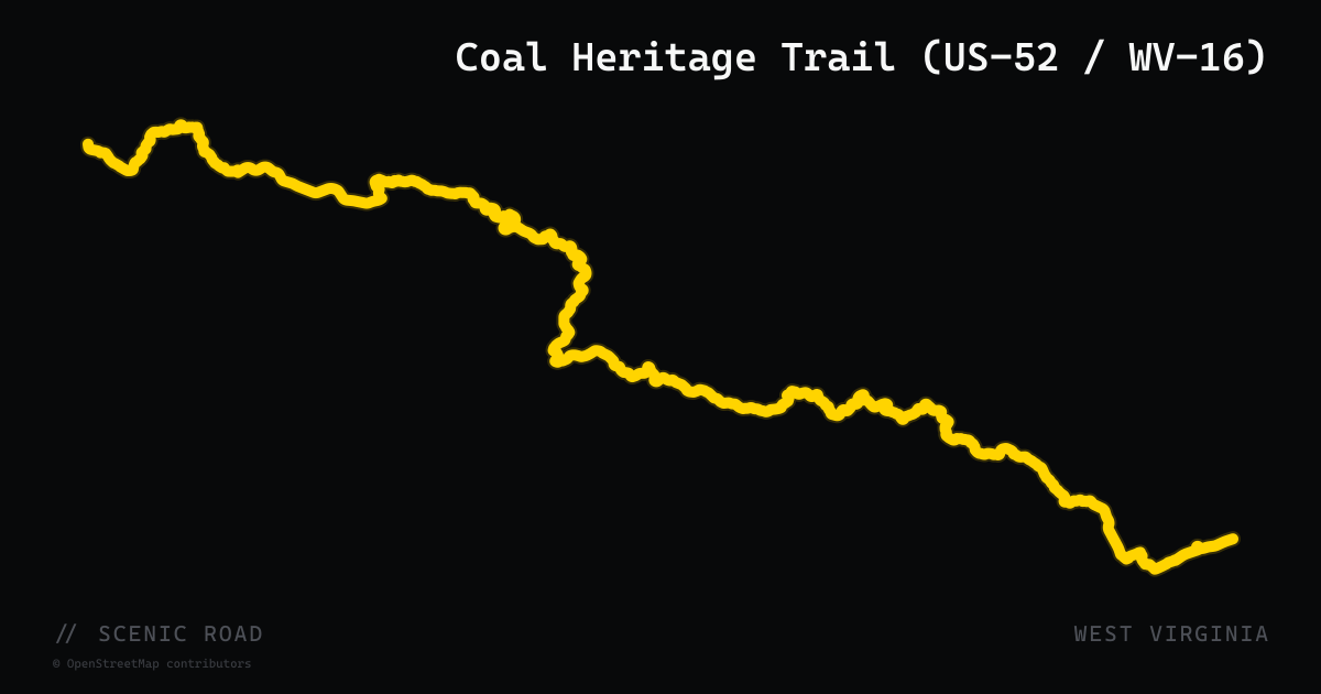
scenic road · west virginia
Coal Heritage Trail (US-52 / WV-16)
The Coal Heritage Trail National Scenic Byway follows US-52 from Bluefield north to Welch along Elkhorn Creek, then transitions to WV-16 north through McDowell and Raleigh counties for a total of 187 rugged miles across 13 counties to Ansted. The ride alternates between tight creek-valley two-lanes with switchbacks up and over ridges and sweeping valley stretches through former coal-camp communities. Pinnacle Rock State Park, the Bramwell National Historic District, and a concentration of surviving company stores and miners' housing make this WV's most historically distinctive motorcycle route.
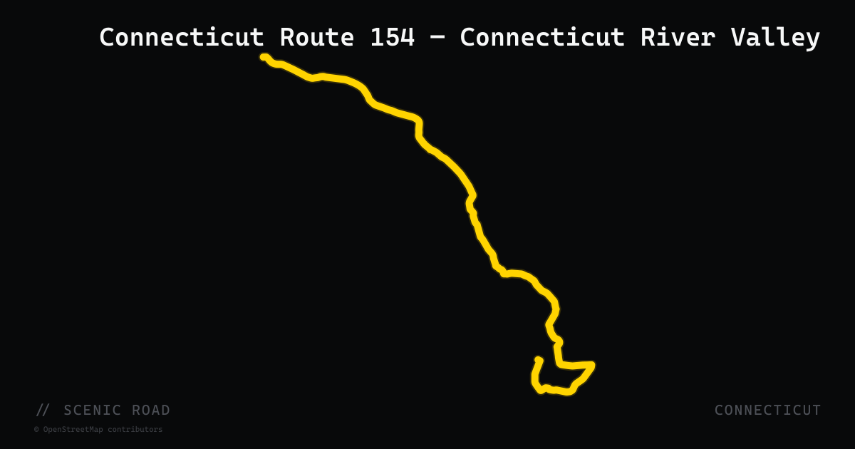
scenic road · connecticut
Connecticut Route 154 — Connecticut River Valley
A 28-mile route running roughly parallel to the western bank of the Connecticut River from Old Saybrook north through Essex, Deep River, Chester, and Haddam to Higganum. The 9-mile Haddam section carries a state scenic road designation for its river-view corridor along the Middlesex Turnpike, a toll road since 1802. The southern stretch passes through the historic villages of Essex and Chester — both well-preserved small towns with independent restaurants — before opening onto river panoramas near the Haddam Swing Bridge and Gillette Castle environs. Works well paired with CT-148 and the Chester-Hadlyme ferry (seasonal) for a full valley loop.
scenic road · connecticut
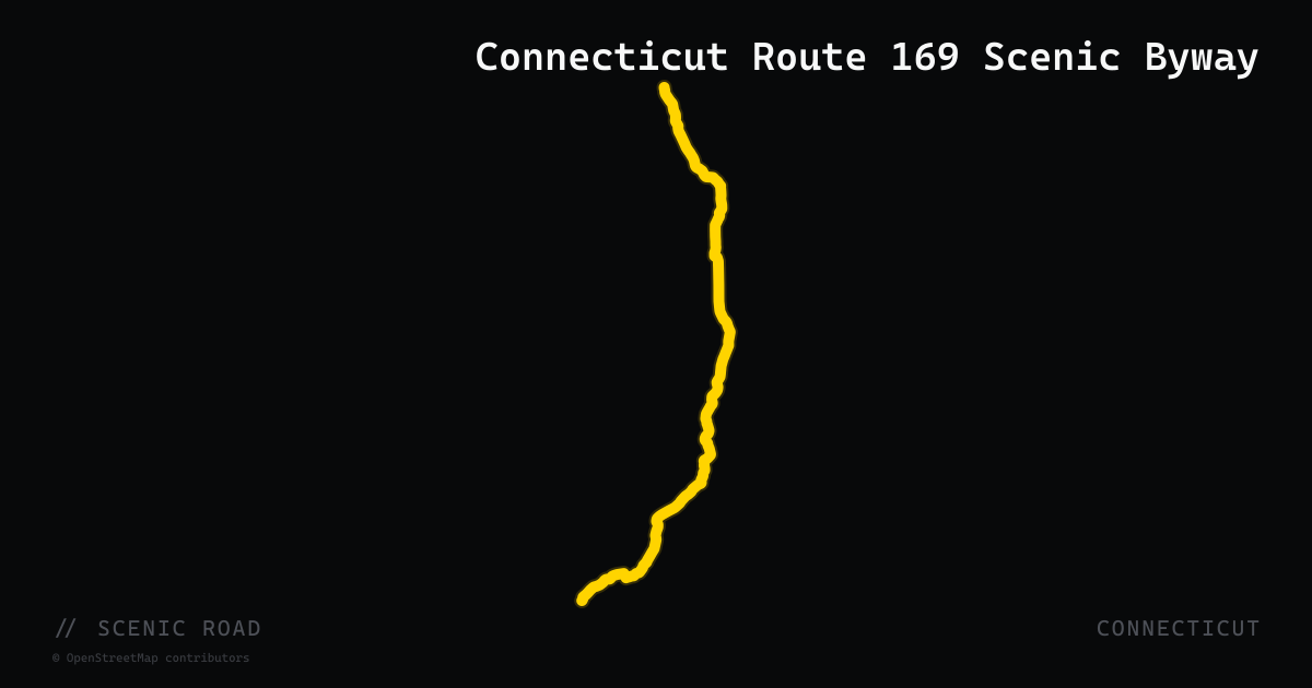
Connecticut Route 169 Scenic Byway
A federally designated National Scenic Byway running 32 miles north-south through the "Quiet Corner" of northeastern Connecticut, from Lisbon near the Rhode Island border up to the Massachusetts state line north of Woodstock. The road threads through well-preserved 18th- and 19th-century villages — Canterbury, Brooklyn, Pomfret, and Woodstock — across rolling farmland with apple orchards, stone walls, and historic commons largely unchanged since the colonial era. Pacing is unhurried; the reward is pastoral immersion rather than lean-angle entertainment.
scenic road · connecticut
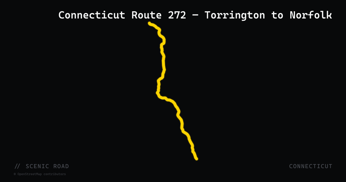
Connecticut Route 272 — Torrington to Norfolk
An 18-mile north-northwest run from Torrington through Goshen to Norfolk in Litchfield County, following the West Branch Naugatuck River before climbing into the forested uplands of the Northwest Hills. The Norfolk section is a state-designated scenic road passing Dennis Hill State Park, Haystack Mountain State Park (trailhead and drive-up paved access road), and Campbell Falls State Park near the Massachusetts border. The road is winding and increasingly remote as it approaches Norfolk, making it a natural approach or exit leg for any Litchfield Hills loop.
scenic road · connecticut
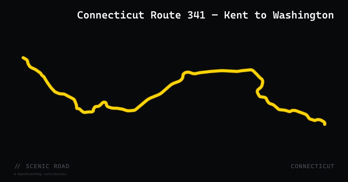
Connecticut Route 341 — Kent to Washington
A 16-mile connector through the heart of the Litchfield Hills, running from the New York state line at Kent southeast to US-202 near Washington Depot. The road crosses the Housatonic River just east of Kent, then climbs through hardwood tunnels into Warren (where it shares a brief concurrency with CT-45) before descending to the Shepaug River valley. Kent village — with galleries, cafés, and Kent Falls State Park minutes north on US-7 — makes a natural anchor. Reader's Digest has cited the Litchfield Hills corridor anchored by CT-341 as one of the most scenic drives in America.
scenic road · connecticut
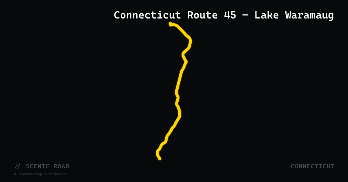
Connecticut Route 45 — Lake Waramaug
A 10-mile north-south route through Washington, Warren, and Cornwall in the Litchfield Hills, CT-45's main draw is its southern section along the eastern shore of Lake Waramaug — a state-designated scenic road skirting the 656-acre lake ringed by low mountains and historic inns. The village of New Preston (also scenic-designated) sits at the south end, and the route climbs into Warren before reaching US-7 at Cornwall to the north. Frequently ridden as part of the Lovely Litchfield Loop with CT-341 and US-7.
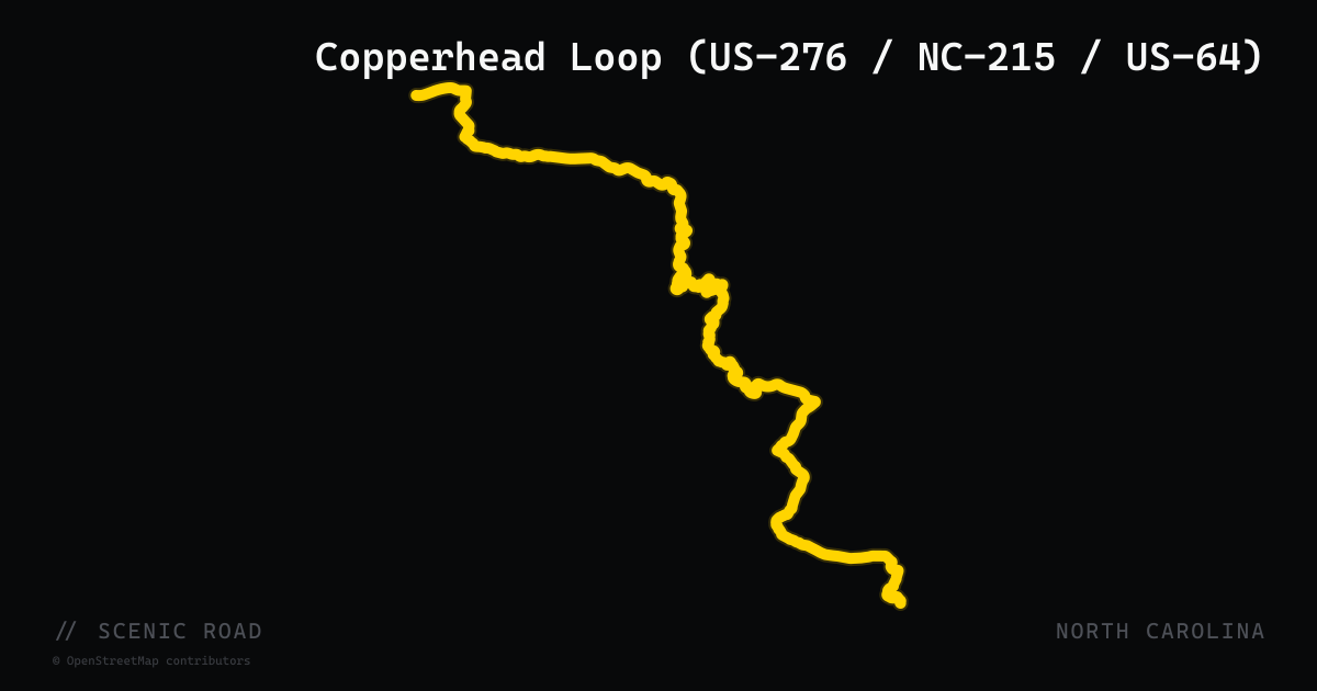
scenic road · north carolina
Copperhead Loop (US-276 / NC-215 / US-64)
A roughly 77-mile loop from Brevard through Pisgah National Forest, crossing the Blue Ridge Parkway twice and passing waterfalls, swimming holes, and historic forest sites.
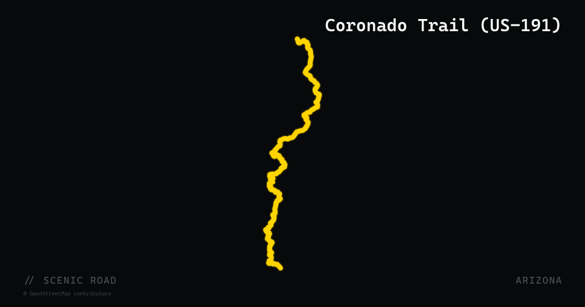
scenic road · arizona
Coronado Trail (US-191)
114 miles of US-191 from Clifton to Alpine — "America's curviest road," 460+ named turns, copper mines below and ponderosa pine at altitude. Almost no traffic.
scenic road · kentucky
Country Music Highway (US-23)
A roughly 144-mile National Scenic Byway down eastern Kentucky from Greenup to Whitesburg via Ashland and Pikeville, honoring the region's country music heritage from Loretta Lynn to Tyler Childers and Chris Stapleton. Mostly fast, open highway through Appalachian ridge country.
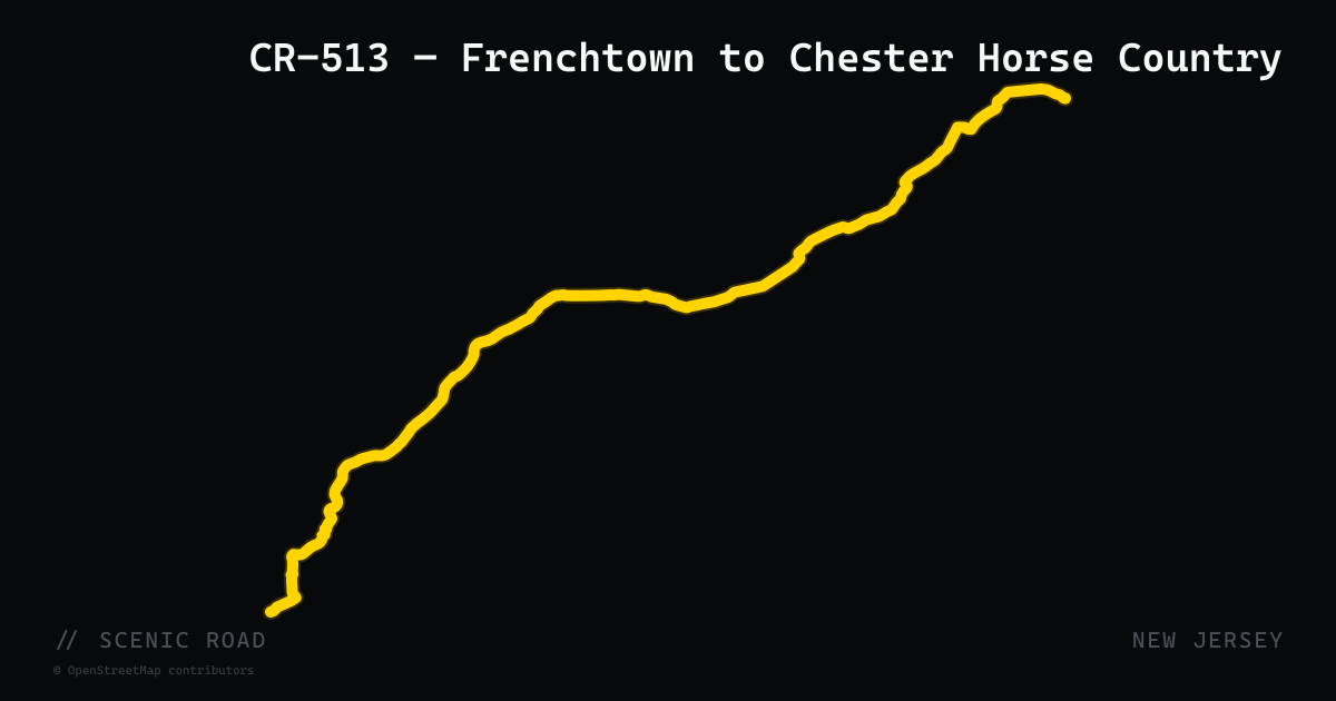
scenic road · new jersey
CR-513 — Frenchtown to Chester Horse Country
County Route 513 is a 66.83-mile county highway running from Frenchtown (Hunterdon County) north through Morris and into Passaic County, with its most celebrated section being the 31-mile stretch between Frenchtown and Chester. The road rolls through limestone ridge terrain with bubbling streams, stone walls, and large horse estates — more pastoral and less technical than the northwest Highlands routes. A mix of short straights and engaging sweepers through classic central-NJ fox-hunting country. The route traces the old Washington Turnpike alignment.
scenic road · new jersey
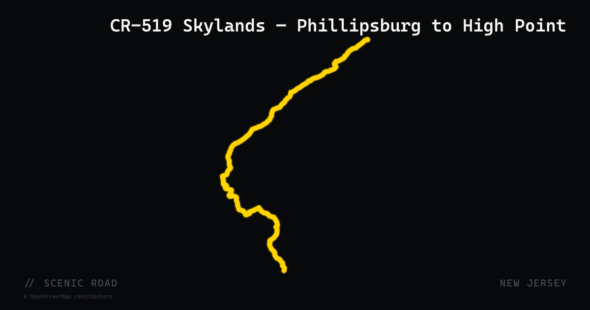
CR-519 Skylands — Phillipsburg to High Point
County Route 519 is an 88-mile north-south rural two-lane road through Hunterdon, Warren, and Sussex counties — one of NJ's most celebrated long-distance touring roads. The route alternates between rolling dairy farms, wooded ridgelines, and river valley overlooks with views of the Delaware Water Gap. Speed limits range 15–55 mph with sweeping bends that follow the Highland contours. The full corridor from Phillipsburg (near the PA border) north to High Point covers roughly 60 riding miles with almost no traffic lights.
scenic road · new hampshire
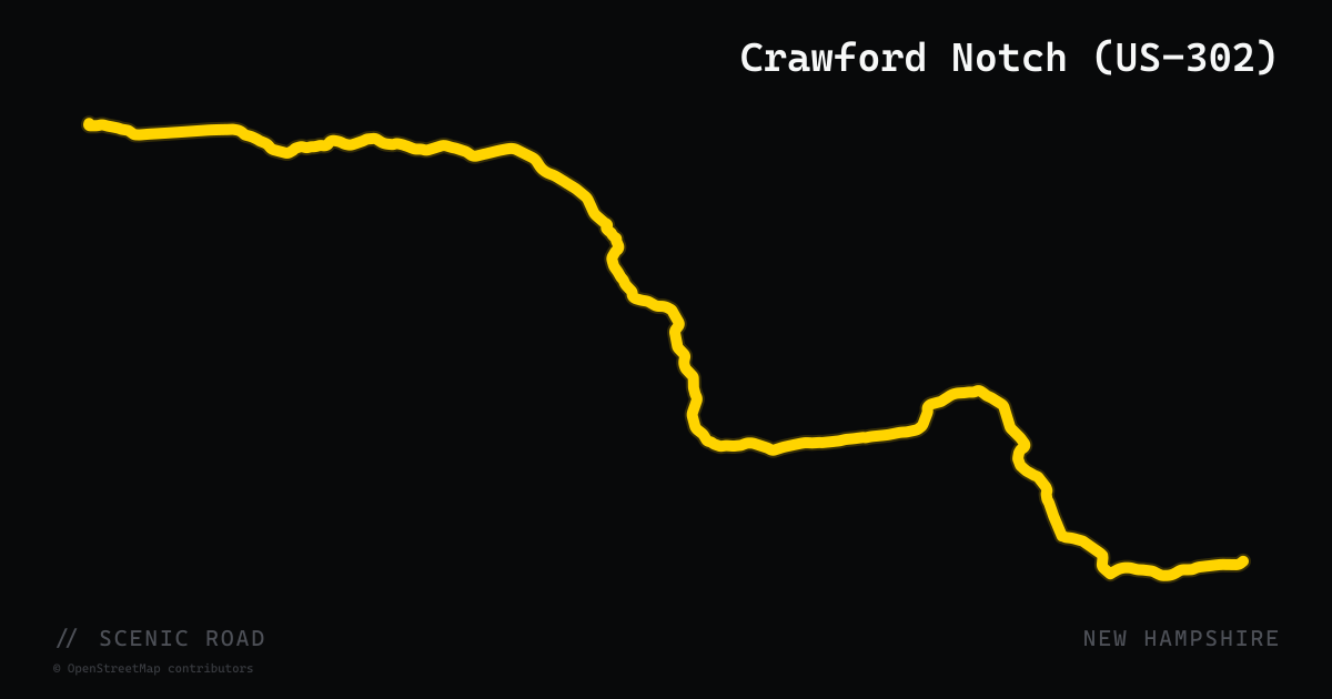
Crawford Notch (US-302)
Twin Mountain to North Conway via Bretton Woods, ~30 mi. Sweeping notch scenery past Mount Washington Hotel. Pairs perfectly with the Kanc via Bear Notch Road.
scenic road · louisiana
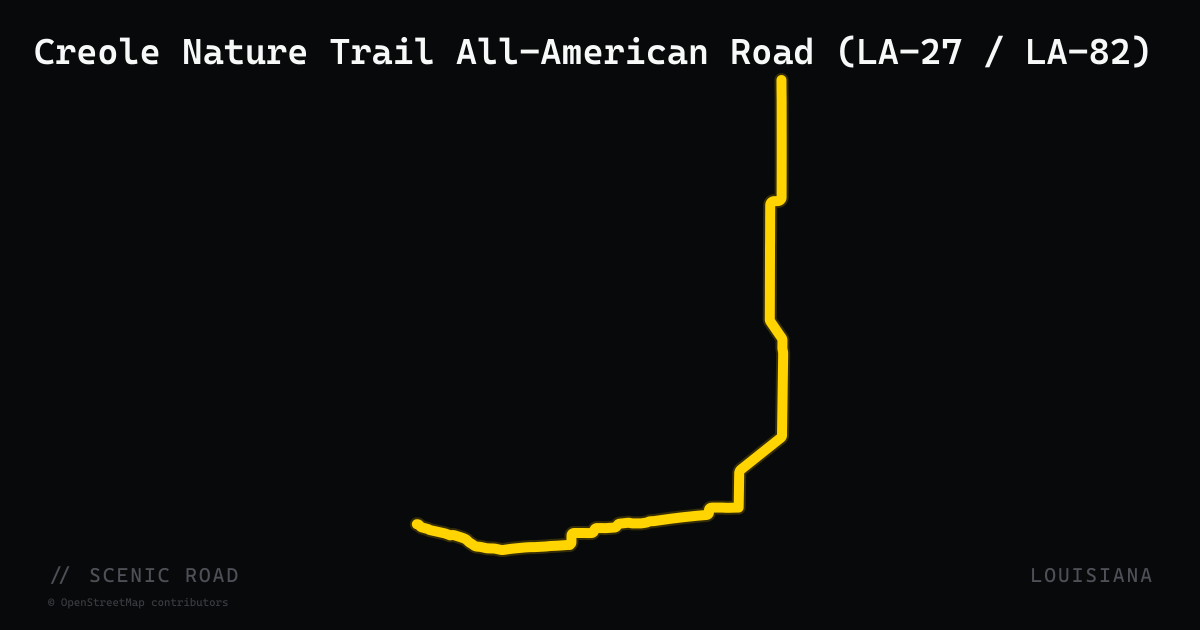
Creole Nature Trail All-American Road (LA-27 / LA-82)
Sulphur to Cameron loop, ~180 mi. Bayous, marshes, Gulf beaches, alligators.
scenic road · kentucky
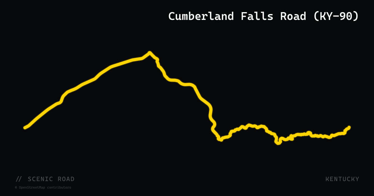
Cumberland Falls Road (KY-90)
Kentucky Route 90 traverses 134 miles across southern Kentucky from Cave City in the west to Williamsburg in the east, with the most prized motorcycle section running 27 miles through Daniel Boone National Forest between Parkers Lake and US-25W near Corbin. The road threads through dense hardwood forest, past rock formations and cliff-line views, and lands at Cumberland Falls State Resort Park midway through — home to a 125-foot-wide waterfall nicknamed the 'Niagara of the South' and one of only two places in the world where a moonbow (lunar rainbow) appears regularly under full-moon conditions. The pavement is well-maintained with plentiful curves and no significant potholes.
scenic road · kentucky
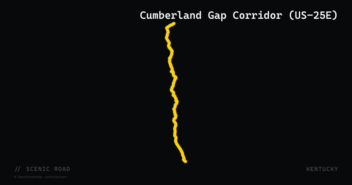
Cumberland Gap Corridor (US-25E)
US-25E enters Kentucky through the Cumberland Gap Tunnel — one of only two tunnels in the United States that cross a state line under a mountain — and continues north through Middlesboro and up through Pine Mountain State Resort Park and Kentucky Ridge State Forest to North Corbin at I-75. The Kentucky segment, roughly 50 miles, travels Appalachian ridge-and-valley terrain with views of the Cumberland Mountains. The historic Gap itself is the centerpiece: Daniel Boone's Wilderness Road passage in 1775 through this same natural notch opened the American interior, and the National Park Service manages the surrounding Cumberland Gap National Historical Park, with the Pinnacle Overlook accessible via a spur road near Middlesboro.
scenic road · kentucky
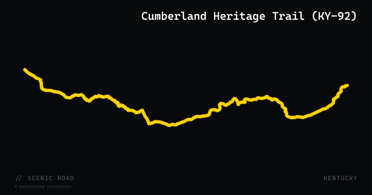
Cumberland Heritage Trail (KY-92)
Kentucky Route 92 stretches over 100 miles from the Lake Cumberland shoreline west of Jamestown east to US-25E near Fourmile in Bell County, designated as part of Kentucky's Cumberland Cultural Heritage Trail corridor. The eastern section between Williamsburg and Pineville is the motorcycle highlight: 38 miles of curving two-lane alongside the Cumberland River with dense forest canopy, rolling foothills, and access to the Big South Fork National River and Recreation Area near Stearns and the Daniel Boone National Forest. The road narrows to a challenging single-lane in several forest sections. Lake Cumberland's Wolf Creek Dam area and General Burnside Island State Park anchor the western end.
scenic road · south dakota
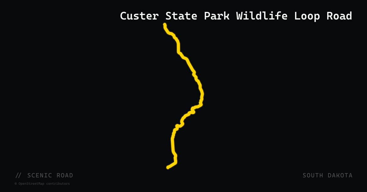
Custer State Park Wildlife Loop Road
Custer State Park's Wildlife Loop Road is an ~18-mile paved road through the open grasslands and ponderosa-pine foothills of the park's southern half in South Dakota's Black Hills. It is best known for close encounters with the park's free-roaming bison — one of the largest publicly owned herds in the country — along with pronghorn, deer, prairie dogs, and the park's famous "begging burros" (feral donkeys). The road links US-16A near the State Game Lodge with SD-87 as part of the Peter Norbeck National Scenic Byway. Ride early or late for the best wildlife activity, keep well back from the bison, and expect the herd or burros to stop traffic without warning.
scenic road · texas
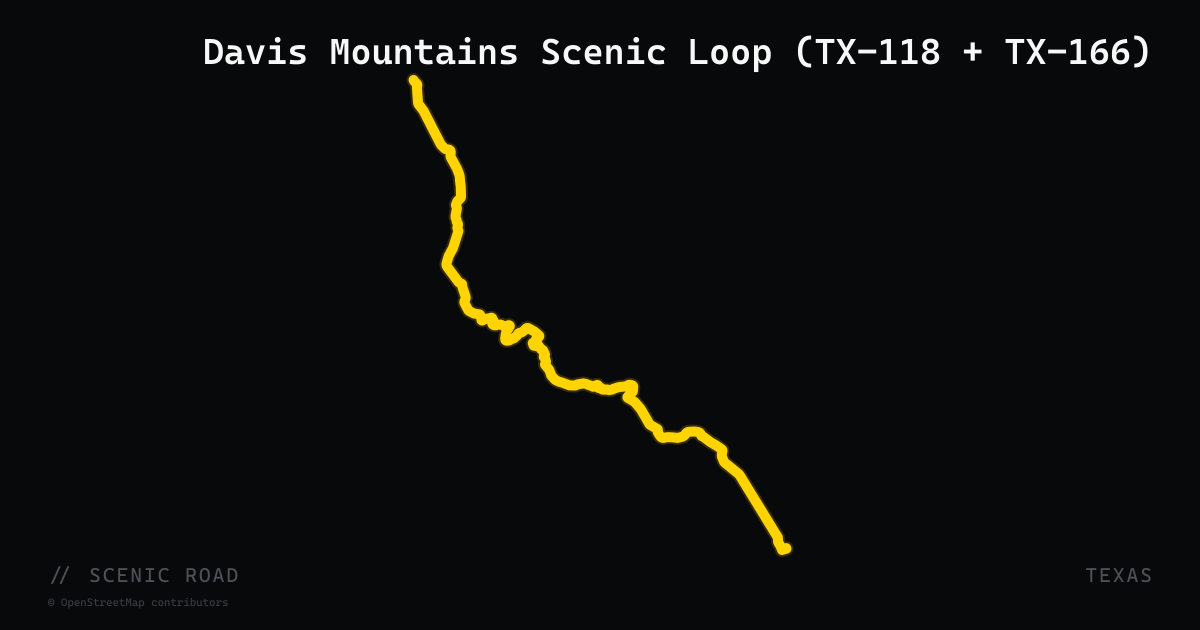
Davis Mountains Scenic Loop (TX-118 + TX-166)
Fort Davis loop, ~75 mi. Highest public highway in Texas. Rider Magazine: "possibly the best motorcycling stretch of road in Texas." McDonald Observatory, Wild Rose Pass.
scenic road · delaware
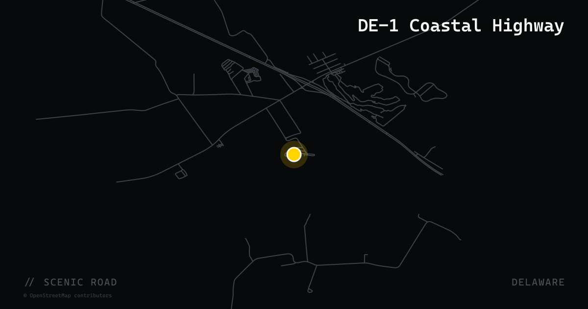
DE-1 Coastal Highway
Roughly 30 miles of DE-1 along the Atlantic from Lewes to Fenwick Island — flat ocean cruising past the resort towns of Rehoboth and Bethany, with heavy beach traffic to avoid on summer weekends.
scenic road · delaware
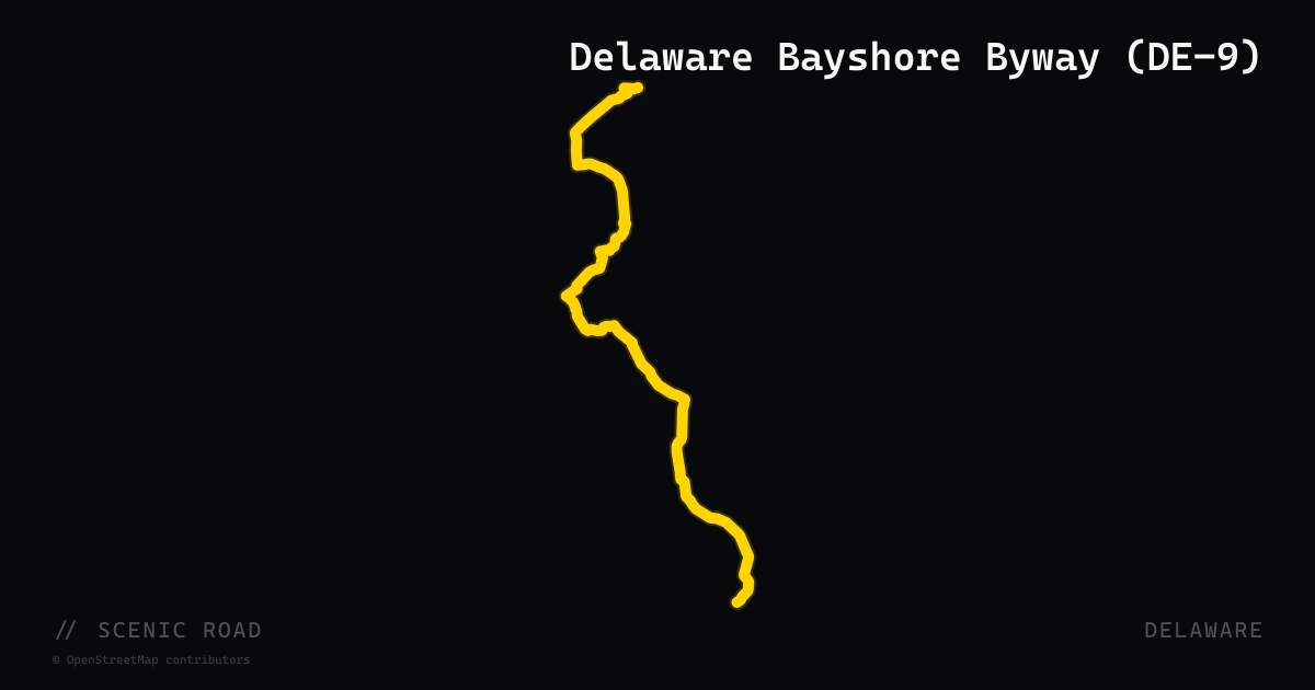
Delaware Bayshore Byway (DE-9)
A roughly 50-mile National Scenic Byway following DE-9 from the New Castle and Delaware City area south to Dover and Bowers Beach, threading tidal marshland and passing Bombay Hook National Wildlife Refuge. It is flat bayshore cruising — Delaware has no mountain or canyon roads — best enjoyed for the birdlife and emptiness rather than corners.
scenic road · delaware
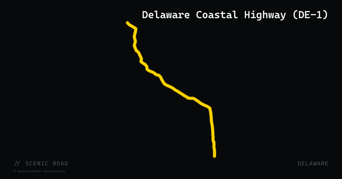
Delaware Coastal Highway (DE-1)
A 30-mile ocean-and-bay corridor running south from Lewes through Rehoboth Beach, Dewey Beach, and Delaware Seashore State Park to Fenwick Island at the Maryland border. South of Dewey Beach the road enters a narrow barrier-island strip with the Atlantic Ocean on one side and Indian River Bay on the other, highlighted by the Charles W. Cullen Bridge (Indian River Inlet Bridge), a modern cable-stay span opened in 2012. Best ridden in fall or early spring to avoid summer resort traffic; the stretch through Delaware Seashore State Park (6.3 miles of protected land) is the scenic core.
scenic road · tennessee
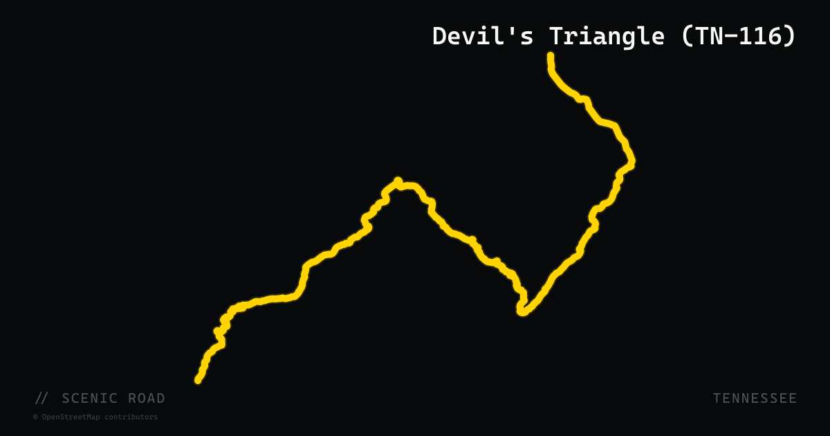
Devil's Triangle (TN-116)
A roughly 44-mile loop northwest of Oak Ridge on TN-116, TN-330, and TN-62, with switchbacks and steep dropoffs through old coal-country ridges. The mapped route follows TN-116, the loop's signature technical leg from Oliver Springs over Petros and Briceville to Rocky Top.
scenic road · north carolina
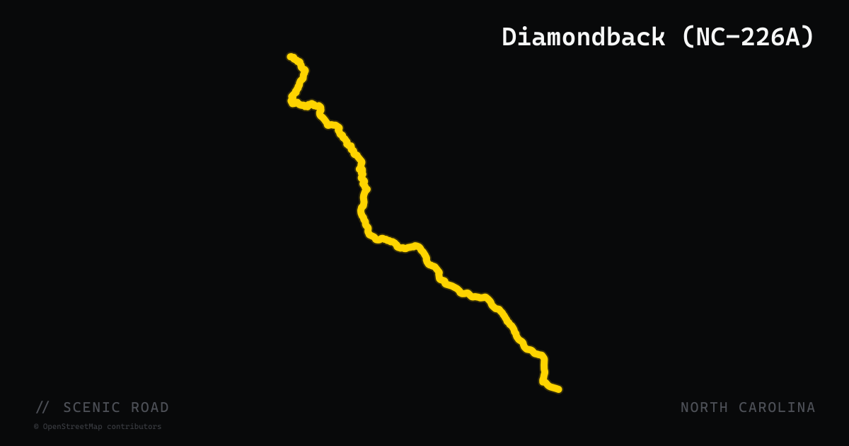
Diamondback (NC-226A)
North Carolina Highway 226A, universally known to riders as the Diamondback, is an 11-mile alternate highway dropping from Little Switzerland at 3,475 feet to US-221 near Marion at 1,390 feet, packing more than 190 steep, climbing curves into a short run through the Pisgah National Forest. The first five miles are the tightest — no guardrails, rocky outcroppings, and sheer drop-offs set the tone before the road opens into switchbacks and S-curves leading down to the valley floor. Part of a 38-mile fan-favorite loop that incorporates NC-226, US-221, and a stretch of the Blue Ridge Parkway, the 226A section is the one riders plan the whole trip around. Pavement is smooth and well-marked, and the road is closed to commercial trucks, keeping traffic clean and rider-focused.
scenic road · new hampshire
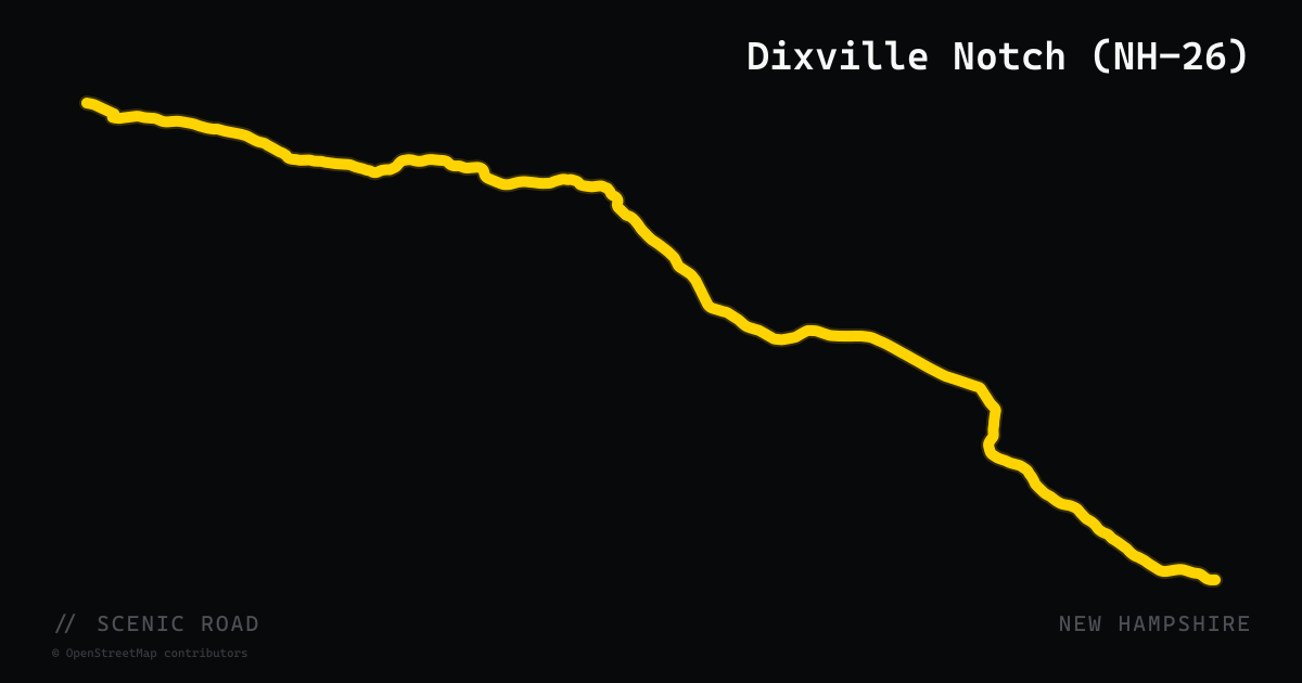
Dixville Notch (NH-26)
New Hampshire Route 26 carves through Dixville Notch in the far north of the state — a short, steep-walled granite gorge that separates Dixville Peak and Cave Mountain at the boundary of the Connecticut and Androscoggin River watersheds. The 31-mile corridor from Colebrook east to the Maine border passes through 127-acre Dixville Notch State Park, where the road cuts directly alongside towering cliffs above two mountain-brook waterfalls. The surrounding terrain is dense boreal forest with almost no development; riders encounter moose regularly, especially at dawn and dusk. This is the least-crowded notch in New Hampshire and the most remote, rewarding riders willing to make the northern detour with dramatic scenery and genuine wilderness character.
scenic road · wisconsin
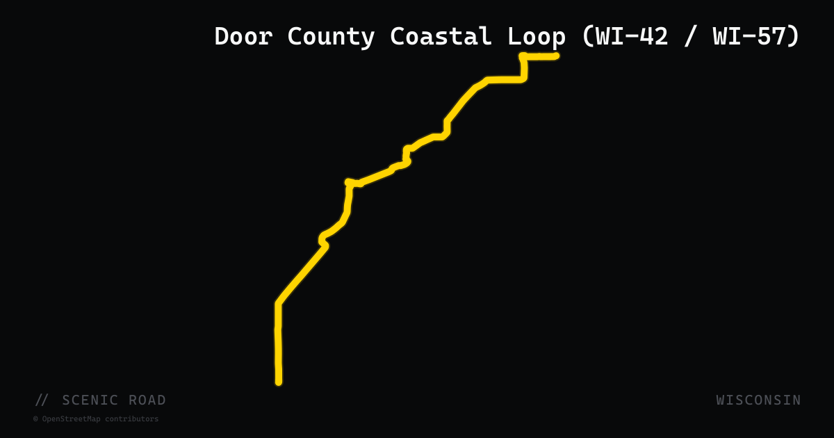
Door County Coastal Loop (WI-42 / WI-57)
The 66-mile Door County Coastal Byway loops the Door Peninsula via WI-42 up the Green Bay shoreline and WI-57 back down the Lake Michigan side, beginning and ending in Sturgeon Bay. WI-42 north of Sister Bay delivers the peninsula's best riding — 15 consecutive curves bordered by maples near Northport, low traffic, and water views on both flanks as the road crests the peninsula's northern tip. The optional Washington Island ferry from Northport adds a scenic detour. WI-57 through Baileys Harbor and Jacksonport runs inland and carries more truck traffic.
scenic road · california
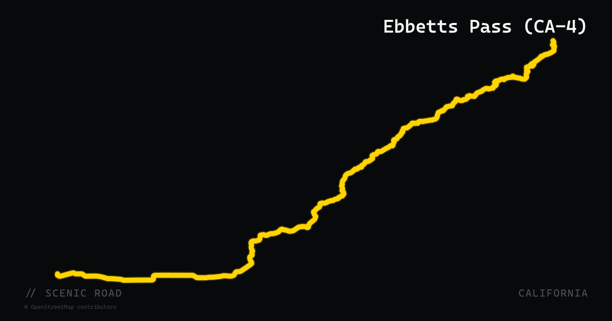
Ebbetts Pass (CA-4)
CA-4 crosses Ebbetts Pass at 8,736 feet in Alpine County, one of the least-traveled trans-Sierra highways and a dual-designated California State Scenic Highway (1971) and National Scenic Byway (2005). The western approach from Lake Alpine follows Silver Creek canyon through dense forest before the road tightens into a series of swooping switchbacks leading to the summit. The descent east delivers what many riders call the best descending road in California — a mile of wide, railable sweepers with ideal pitch and near-zero commercial traffic. The Pacific Crest Trail crosses the road at the summit. Closed roughly November through late June due to snow; check Caltrans for exact open dates.
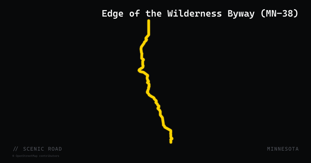
scenic road · minnesota
Edge of the Wilderness Byway (MN-38)
The 47-mile Edge of the Wilderness National Scenic Byway follows Minnesota State Highway 38 north from Grand Rapids to its terminus at MN-1 in Effie, cutting through the heart of Chippewa National Forest. The road winds around 36 lakes through county, state, and national forest land, passing through the communities of Marcell and Bigfork along the way. A notable geographic feature is the Laurentian Divide, where precipitation splits toward Hudson Bay to the north and the Gulf of Mexico via the Mississippi River to the south. The route traces an ancient Ojibwe travel corridor and passes habitat for the largest bald eagle population in the contiguous United States. Chippewa National Forest is home to America's densest concentration of nesting bald eagles. The road surface has been recently resurfaced and is known for its twisting alignment and rhythm through the lake-studded forest.
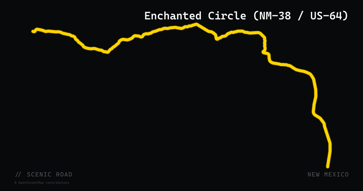
scenic road · new mexico
Enchanted Circle (NM-38 / US-64)
The Enchanted Circle is an 84-mile loop byway through the Sangre de Cristo Mountains of northern New Mexico, beginning and ending in Taos. The loop uses US-64 west of Eagle Nest, NM-522 north to Questa, NM-38 east through Red River and over Bobcat Pass (the highest paved mountain pass in New Mexico), and NM-434 south through Angel Fire back to Eagle Nest. The circuit encircles Wheeler Peak (13,161 feet), the state's highest point, and reaches elevations above 9,000 feet for most of the northern half. Towns on the loop include the ski village of Red River, the lake community of Eagle Nest, and Angel Fire — home to the Vietnam Veterans Memorial State Park.
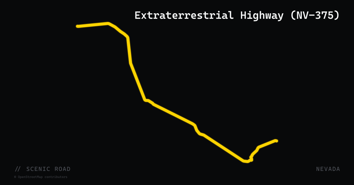
scenic road · nevada
Extraterrestrial Highway (NV-375)
Nevada State Route 375 runs 98 miles across the high desert of Lincoln and Nye counties, from Warm Springs south on US-6 to Ash Springs on US-93, passing the unmarked eastern boundary of Nellis Air Force Base — home to the classified test area popularly known as Area 51. The state officially designated NV-375 the 'Extraterrestrial Highway' in 1996. The road crosses open playas and isolated mountain ranges with minimal traffic and almost no services; the only settlement, Rachel, is home to the Little A'Le'Inn diner and motel at the route's midpoint. Pavement quality is variable — summer heat buckles sections — but the solitude and cultural mythology make it a bucket-list Nevada ride.
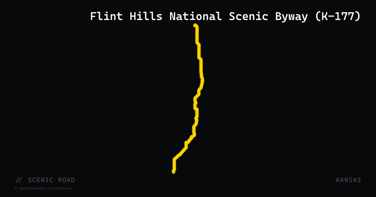
scenic road · kansas
Flint Hills National Scenic Byway (K-177)
K-177 rolls 47 miles through one of the last intact tallgrass prairie ecosystems between Council Grove and Cassoday, with open sweepers over the Flint Hills. The Cassoday Bike Run on the first Sunday of each month, March through October, is Kansas's largest motorcycle gathering.
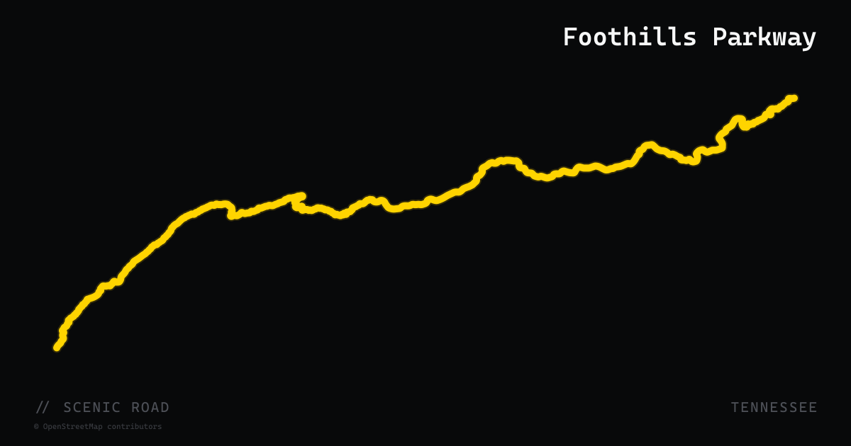
scenic road · tennessee
Foothills Parkway
A 33-mile National Park Service parkway along the Smoky Mountain foothills from Chilhowee to Wears Valley via Walland, with a separate 5.6-mile eastern segment near Cosby. No commercial traffic and constant ridge views — a natural connector between US-129 and Pigeon Forge.
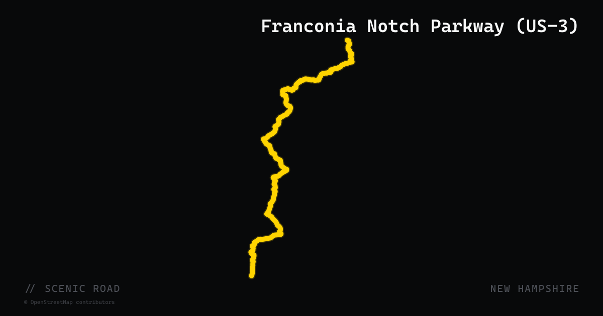
scenic road · new hampshire
Franconia Notch Parkway (US-3)
U.S. Route 3 through Franconia Notch is a 9-mile passage that required a special Act of Congress to build as a two-lane parkway rather than a standard Interstate — I-93 narrows to a single lane in each direction to preserve the notch's character. Flanked by 4,000-foot Cannon Mountain on the west and Mount Lafayette on the east, the road threads through Franconia Notch State Park past the Basin, Echo Lake, and the site of the former Old Man of the Mountain. The granite walls rise on both sides, creating a canyon effect unlike anything else on a US highway east of the Rockies. Northbound riders emerge into the broad Connecticut River valley; southbound riders enter gradually narrowing terrain until the cliffs close in.
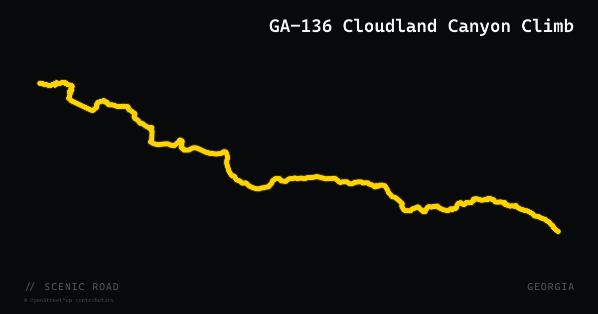
scenic road · georgia
GA-136 Cloudland Canyon Climb
GA-136 ascends roughly 9 miles from the LaFayette valley floor to the crest of Lookout Mountain in northwest Georgia, gaining approximately 2,000 feet through consistent S-curves with good sightlines. The summit section runs along Lookout Mountain's forested ridgeline west to Cloudland Canyon State Park, where dramatic canyon overlooks drop 1,000 feet to Sitton Gulch Creek. The road sees little traffic compared to the mountain roads of North Georgia and pairs well with the Alabama or Tennessee sections of the Lookout Mountain Parkway.
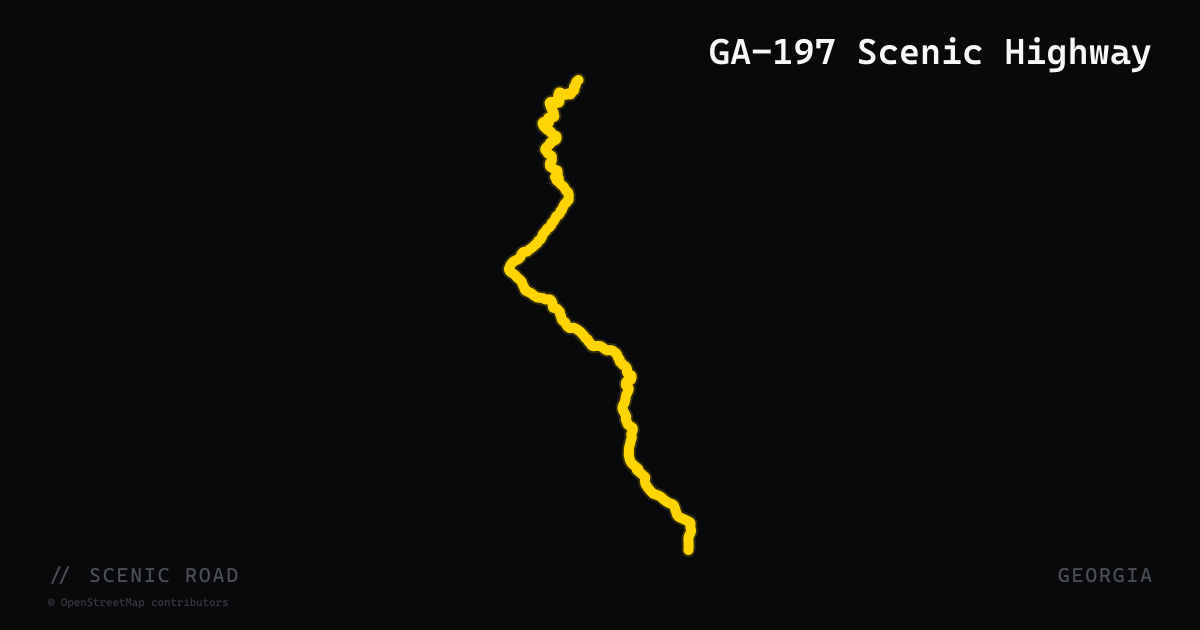
scenic road · georgia
GA-197 Scenic Highway
A 30-mile two-lane road running north from Clarkesville through Batesville and the Soque River corridor to US-76 at Lake Burton. Known locally as the Old Moonshine Highway, the road starts as mildly rolling Appalachian foothills before becoming progressively twistier as elevation rises into Rabun County. The northern half borders Lake Burton's eastern shore, offering cool lake breezes and forest shade. LaPrade's Marina at Lake Burton is a classic lunch stop for riders.
scenic road · georgia
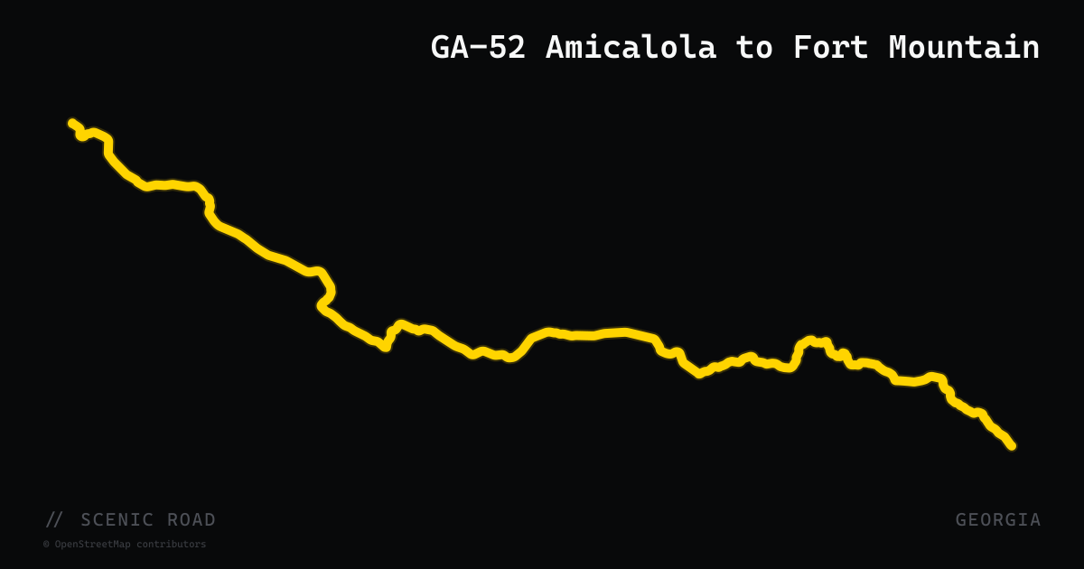
GA-52 Amicalola to Fort Mountain
The 64-mile stretch of GA-52 from Dahlonega west to Chatsworth crosses the southern Blue Ridge via Amicalola Falls and Fort Mountain, climbing 1,500 feet to Fort Mountain State Park (2,850 ft) and then dropping sharply 2,100 feet over seven miles to the Conasauga River valley. The eastern half offers mellow sweepers through farmland with distant ridge views; the western section near Fort Mountain packs tight turn after tight turn. Amicalola Falls State Park marks the scenic midpoint.
scenic road · georgia
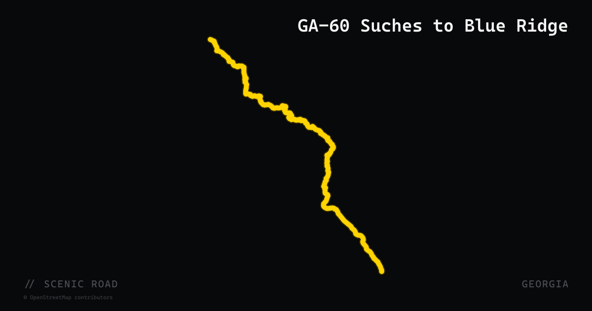
GA-60 Suches to Blue Ridge
GA-60 runs roughly 47 miles north from Stonepile Gap near Dahlonega through the Suches valley to the town of Blue Ridge, following the contours of the Toccoa River and various creeks through the Chattahoochee National Forest. The southern stretch through the Six-Gap zone delivers tight mountain curves; above Suches the road opens into flowing river-canyon sweepers with heavy tree cover and very light traffic. Woody Gap, a named Appalachian Trail crossing, marks the midpoint.
scenic road · georgia
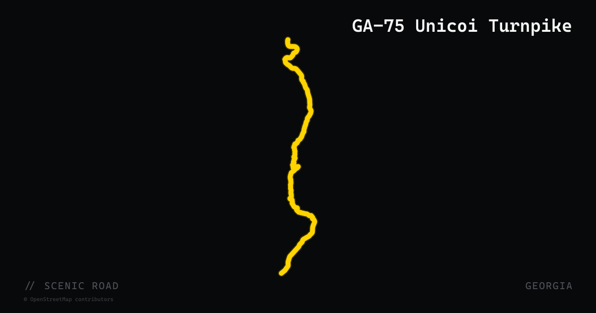
GA-75 Unicoi Turnpike
GA-75 runs 33 miles south-to-north from Cleveland through Helen and over Unicoi Gap (2,949 ft) to the North Carolina border near Hiawassee, gaining and losing over 1,000 feet on each side of the gap. The Helen-to-gap section twists through wide sweepers and short-radius corners approaching true switchbacks; above the gap the road drops steeply into the Hiwassee River valley. GA-75 forms the eastern leg of the Russell-Brasstown National Scenic Byway loop when combined with GA-348 and GA-180.
scenic road · maryland
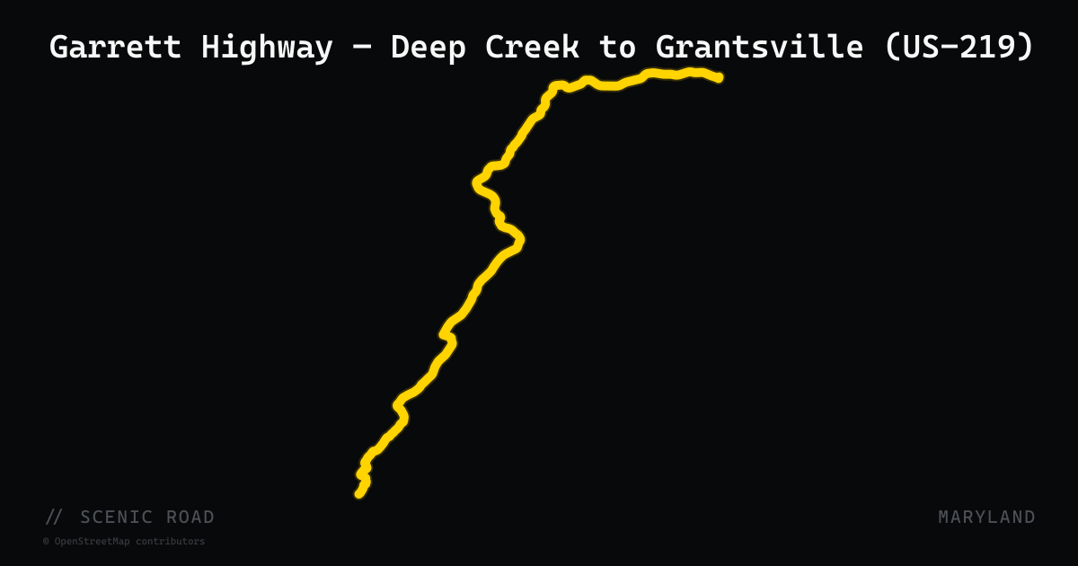
Garrett Highway — Deep Creek to Grantsville (US-219)
U.S. Route 219 is the primary north-south corridor through Garrett County, running 48.40 miles from the West Virginia state line near Redhouse to the Pennsylvania border near Grantsville. Known locally as Garrett Highway, it crosses Deep Creek Lake on the Deep Creek Bridge, serves the McHenry resort area and Wisp Ski Resort, and climbs to a scenic overlook near the summit of Keyser's Ridge before intersecting I-68. The highway is designated as part of the Mountain Maryland Scenic Byway. Sweeping curves through oak-covered hills, elevation changes over 500 feet, and minimal commercial development south of McHenry characterize the southern half, while the northern section through Accident and Grantsville runs more openly through working farms and forested ridges.
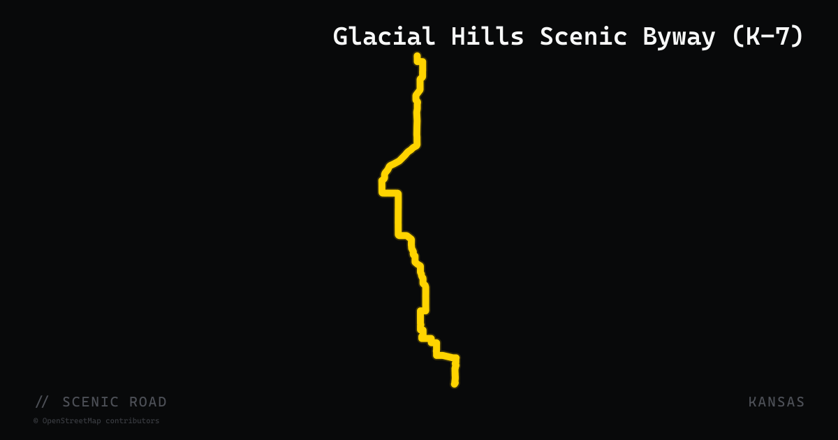
scenic road · kansas
Glacial Hills Scenic Byway (K-7)
A 63-mile State Scenic Byway on K-7 from Leavenworth north to the Kansas–Nebraska border at White Cloud, through terrain shaped by Pleistocene glaciers — the only glaciated region in Kansas. The byway passes through Atchison and Troy on rolling, wooded hills and rock-strewn valleys that parallel the Missouri River. The National Park Service also designates it as the official route of the Lewis and Clark Trail. Seasonal foliage in autumn makes it the most forested motorcycle corridor in the state.
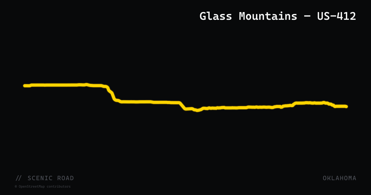
scenic road · oklahoma
Glass Mountains — US-412
US-412 between Orienta and Fairview in Major County traverses roughly 25 miles of selenite-capped mesas known as the Glass (or Gloss) Mountains, where crimson and black mesa walls rise abruptly from the surrounding wheat-field prairie. The gypsum and selenite crystals covering the mesa slopes reflect sunlight and create a visual signature unique in the southern plains. Gloss Mountain State Park, on a mesa just west of Orienta, provides a walk-up overlook accessible from a roadside pull-out. The highway is a long, flowing two-lane with minimal traffic and unobstructed views across northwest Oklahoma.
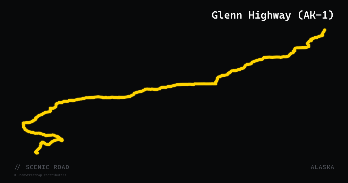
scenic road · alaska
Glenn Highway (AK-1)
Anchorage to Glennallen, 179 mi. National Scenic Byway along the Matanuska River, Matanuska Glacier viewpoint at MP 101, Eureka Summit (3,332 ft).
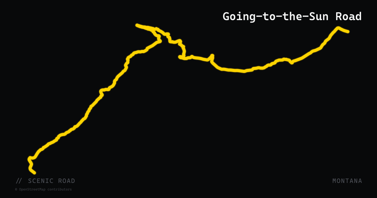
scenic road · montana
Going-to-the-Sun Road
50 miles bisecting Glacier National Park east-to-west across the Continental Divide at Logan Pass — hanging cliffs, alpine meadows, and the most engineered scenic drive in the NPS.
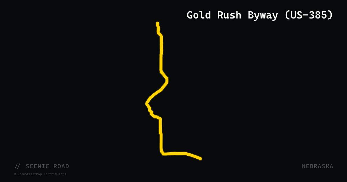
scenic road · nebraska
Gold Rush Byway (US-385)
A 131-mile Nebraska-designated scenic byway along US-385 between Chadron and Sidney, tracing the historic Sidney–Deadwood Trail used during the 1870s Black Hills Gold Rush. The road crosses pine-covered buttes, rolling hills, and lush river valleys, passing Chadron State Park (Nebraska's oldest), the Mari Sandoz High Plains Heritage Center, Carhenge near Alliance, Courthouse and Jail Rocks near Bridgeport, and historic Sidney. Considered one of the most scenic roads in the state.
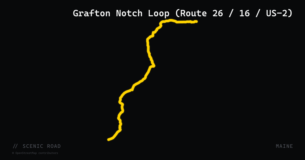
scenic road · maine
Grafton Notch Loop (Route 26 / 16 / US-2)
Newry, ME / Errol, NH / Bethel loop, ~93 mi. Screw Auger Falls, Mother Walker Falls; mountain views.
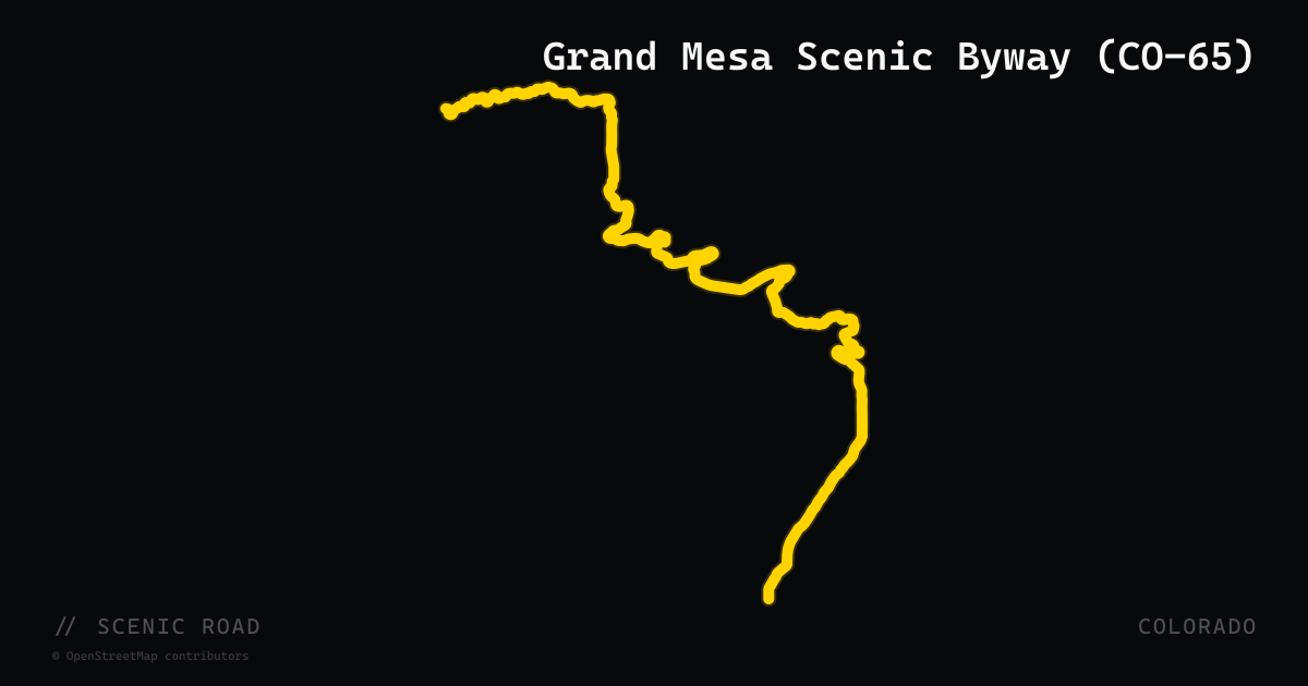
scenic road · colorado
Grand Mesa Scenic Byway (CO-65)
Colorado State Highway 65 traverses the Grand Mesa National Scenic Byway across 63 miles from Cedaredge north to Interstate 70 Exit 49 near Mesa, crossing the world's largest flat-topped mountain at more than 10,849 feet. The route climbs through Plateau Creek Canyon on the north slope, then breaks out onto a high plateau dotted with over 300 lakes before descending through aspen groves toward Cedaredge in the south. A spur forest road leads to the historic Land's End Observatory perched on the western escarpment. Traffic is consistently light and the pavement is smooth.
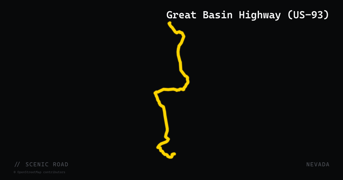
scenic road · nevada
Great Basin Highway (US-93)
US Route 93 runs 520 miles across Nevada from the Arizona border near Laughlin north to the Idaho border near Jackpot, passing through the heart of the Basin and Range terrain. The motorcycle-relevant corridor is the central section from Ash Springs through Caliente to Ely — roughly 200 miles — traversing isolated mountain ranges, historic mining towns, and two notable state parks: Cathedral Gorge (near Panaca), where slot canyons and cream-colored bentonite spires rise from the valley floor, and Spring Valley State Park. Pioche, a preserved Victorian silver-mining town, sits just off the highway. Road quality is good, traffic is sparse, and the alternating canyon-and-basin rhythm provides constant visual variety without demanding technical skill.
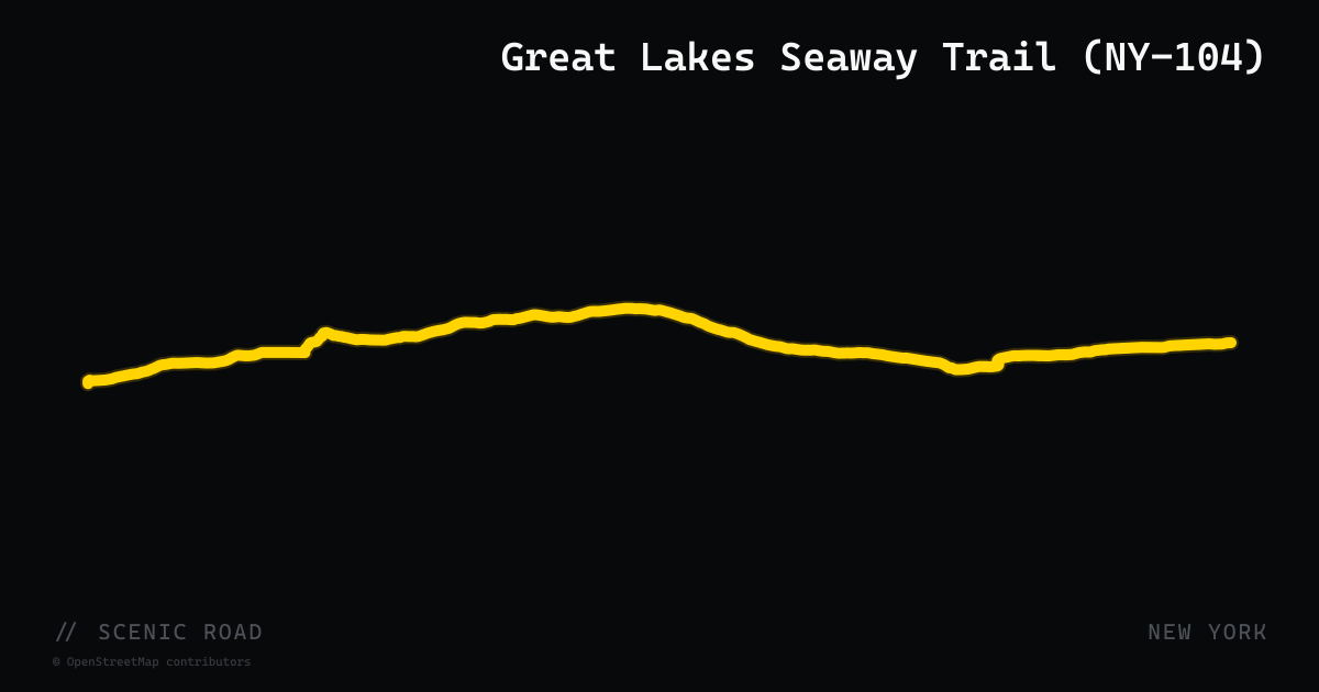
scenic road · new york
Great Lakes Seaway Trail (NY-104)
New York State Route 104 is a 182-mile east-west highway that forms the backbone of the Great Lakes Seaway Trail National Scenic Byway — a 504-mile designated route tracing the freshwater shorelines of Lake Ontario and the St. Lawrence River from Niagara Falls to the Pennsylvania border. NY-104 runs parallel to the southern shore of Lake Ontario through Niagara Falls, Lockport, Oswego, and into the North Country. The Seaway Trail is among the longest National Scenic Byways in the United States and designated in 1984; the New York sections offer Great Lakes vistas, historic War of 1812 forts, and lighthouses at regular intervals.
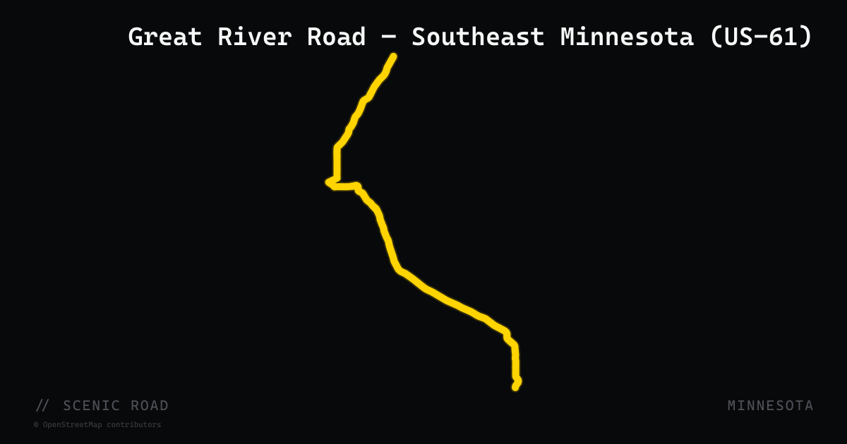
scenic road · minnesota
Great River Road — Southeast Minnesota (US-61)
The Great River Road is a National Scenic Byway and All-American Road that runs 575 miles in Minnesota from the Mississippi River headwaters at Lake Itasca to the Iowa border. The southeastern Minnesota section — following US-61 from La Crescent north through Winona and Wabasha — is the most motorcycle-frequented segment, tracing the Mississippi River bluffs through historic river towns with panoramic valley overlooks. US-61 in this stretch hugs the river on the Minnesota side, passing through Winona (with its Victorian commercial architecture and Sugarloaf Bluff) and Wabasha (home of the National Eagle Center), with frequent river-view pull-offs and the dramatic limestone bluffs of the Hiawatha Valley rising above the highway. The segment from La Crescent to Red Wing is approximately 130 miles. The byway connects at both ends to additional scenic routes including the Historic Bluff Country Byway (MN-16) and continues north toward the Twin Cities.
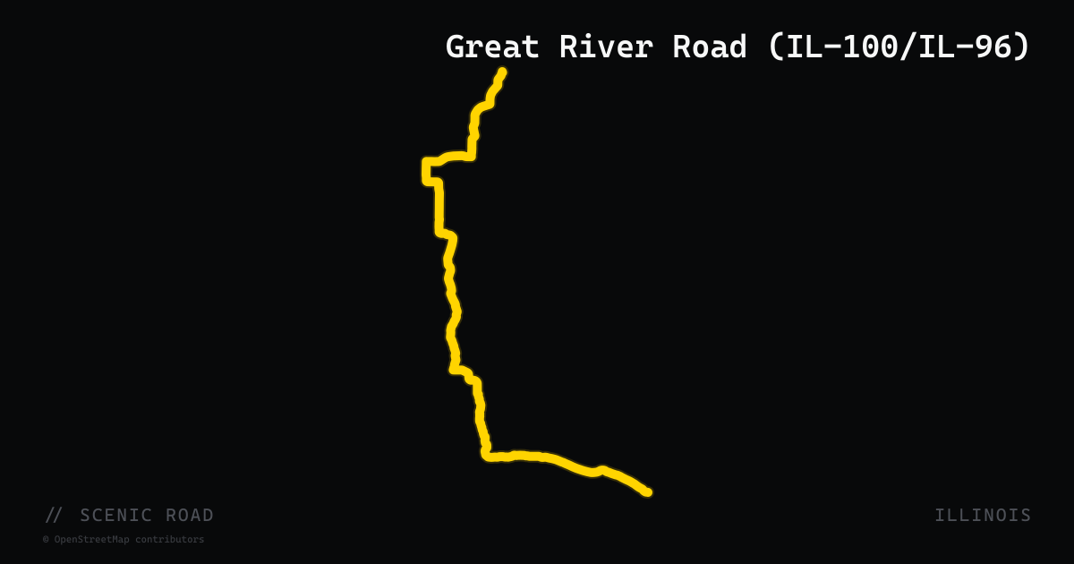
scenic road · illinois
Great River Road (IL-100/IL-96)
Alton to Nauvoo, ~200 mi. Mississippi River bluffs and sweeping curves; easy bagger mileage.
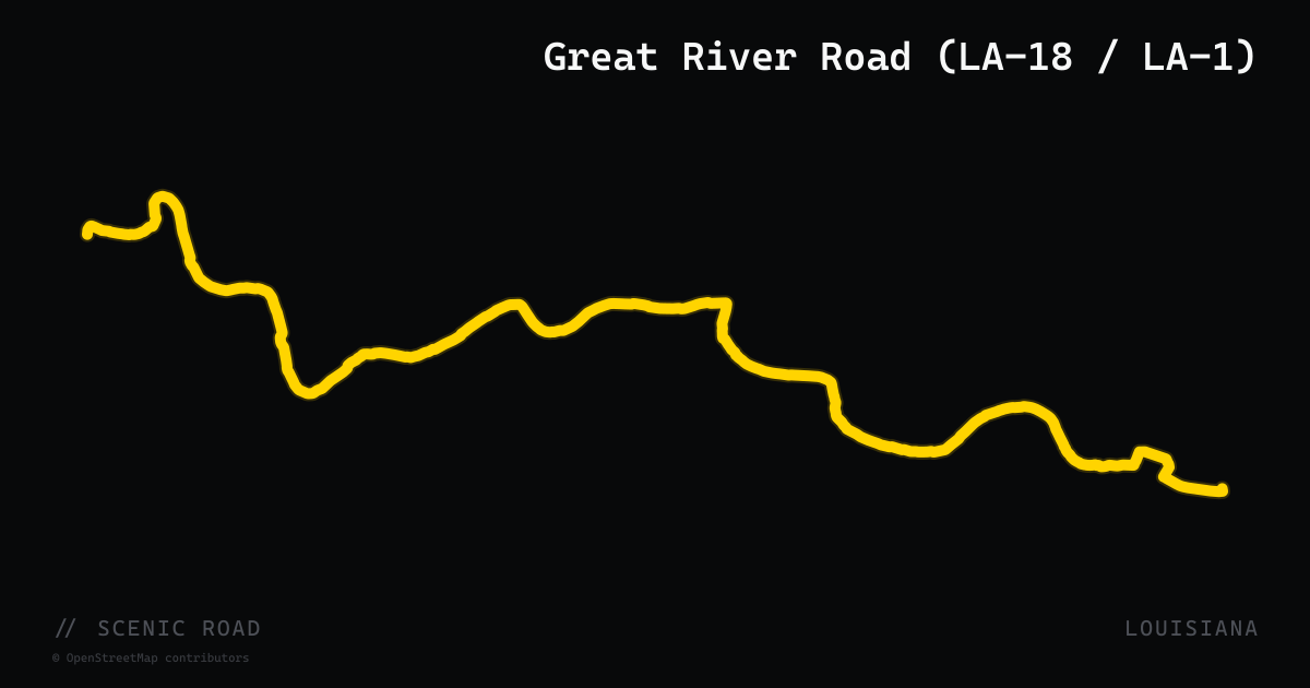
scenic road · louisiana
Great River Road (LA-18 / LA-1)
Louisiana's designated Great River Road traces both banks of the Mississippi from the Arkansas border south to Venice, with the most scenic riding along LA-18 on the west bank between Donaldsonville and New Orleans. The two-lane road runs along the levee through sugar cane fields, past plantation gates and antebellum homes, with the river visible through the earthen berm. LA-1 covers parallel stretches on the east bank, including the levee corridor through Plaquemine.
scenic road · wisconsin
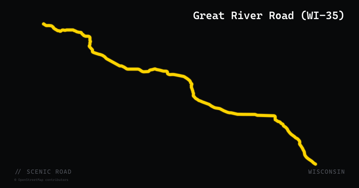
Great River Road (WI-35)
Wisconsin's only All-American Road follows the Mississippi River for roughly 250 miles from Prescott south past Prairie du Chien, riding beneath river bluffs through a string of small river towns. The signature stretch between La Crosse and Prairie du Chien hugs the water almost the whole way.
scenic road · mississippi
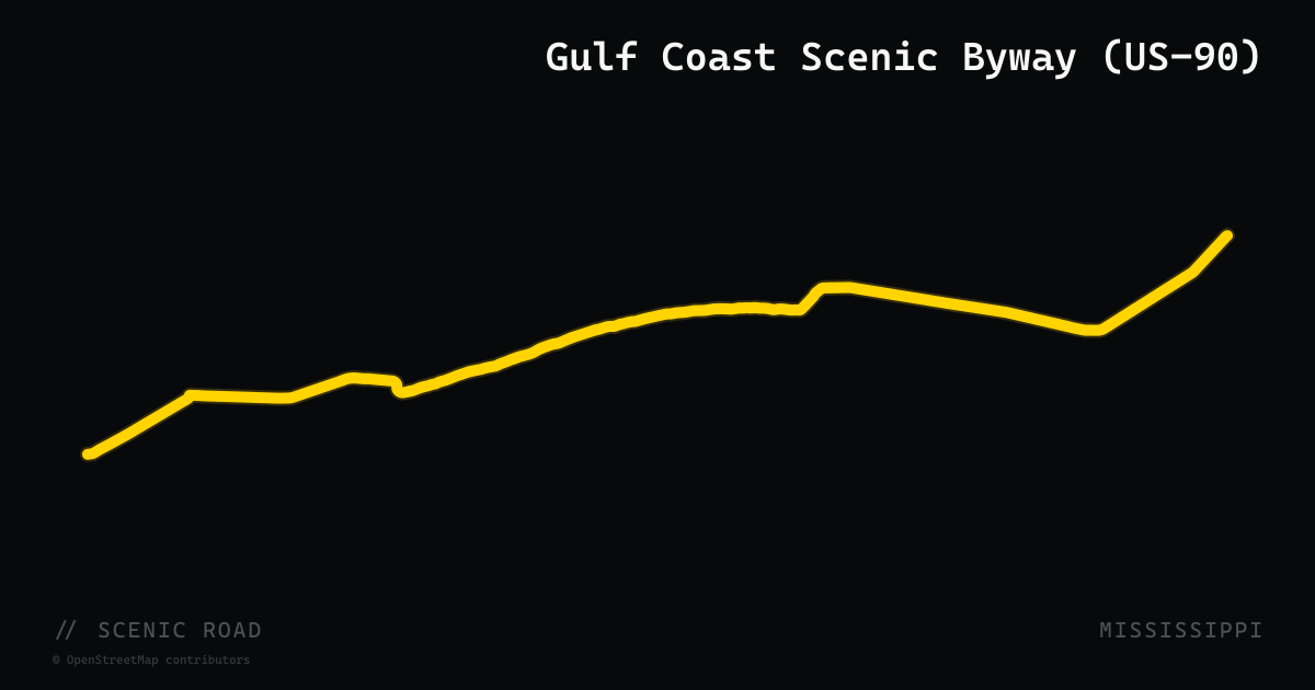
Gulf Coast Scenic Byway (US-90)
US-90 runs roughly 80 miles along Mississippi's Gulf Coast through Hancock, Harrison, and Jackson counties, connecting Bay St. Louis, Pass Christian, Long Beach, Gulfport, Biloxi, and Ocean Springs. The road fronts the Gulf of Mexico for most of its length — what was once the world's longest man-made beach stretches between Henderson Point and Biloxi — and crosses high-level spans over St. Louis Bay and Biloxi Bay rebuilt after Hurricane Katrina. Towns alternate between antebellum waterfront architecture, working fishing harbors, and casino strips, with salt air and bay views throughout. Officially recognized as the Beach Boulevard Scenic Byway through its Gulf Coast Heritage Area corridor.
scenic road · minnesota
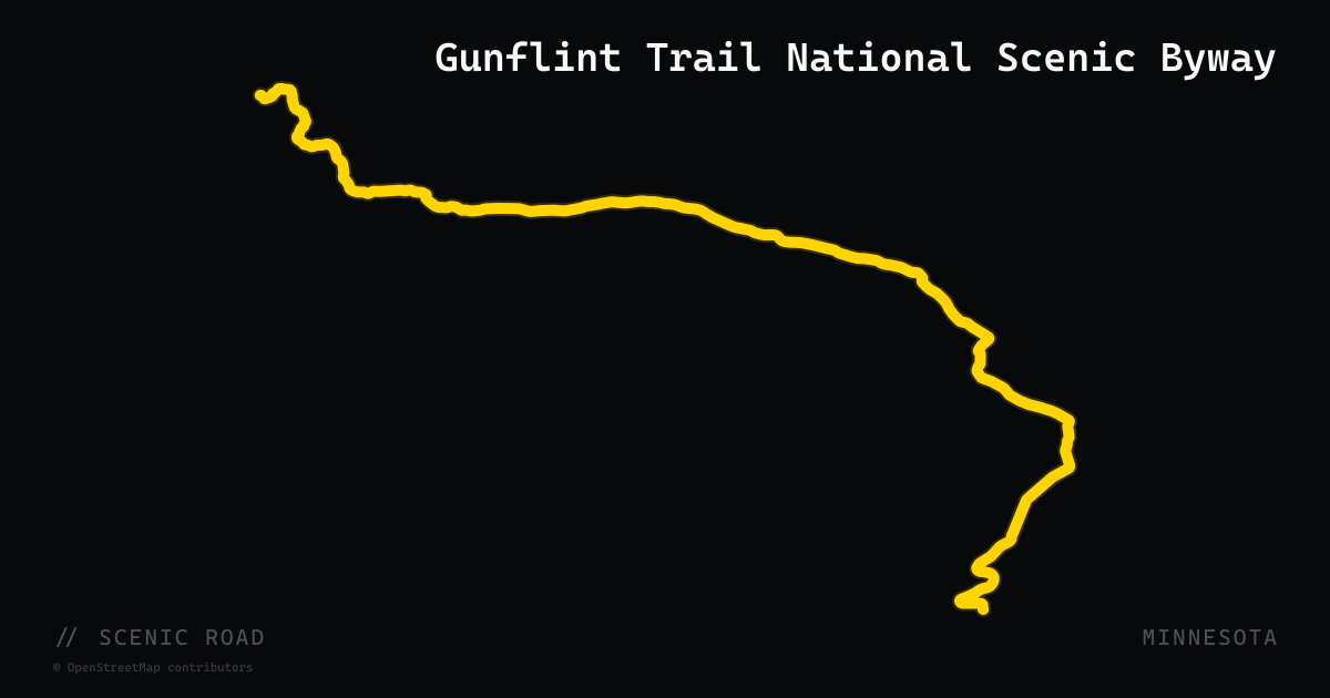
Gunflint Trail National Scenic Byway
A 57-mile paved dead-end road from Grand Marais through Superior National Forest to Trail's End at the edge of the Boundary Waters — ride it out and back for roughly 115 miles. There is no fuel at the far end, so top off in Grand Marais and watch for moose, especially at dawn and dusk.
scenic road · kansas
Gypsum Hills Scenic Byway (US-160)
US-160 between Medicine Lodge and Coldwater crosses roughly 42 miles of unexpectedly dramatic red-dirt mesas and buttes — scenery often compared to a Wild West movie set rather than typical Kansas prairie.
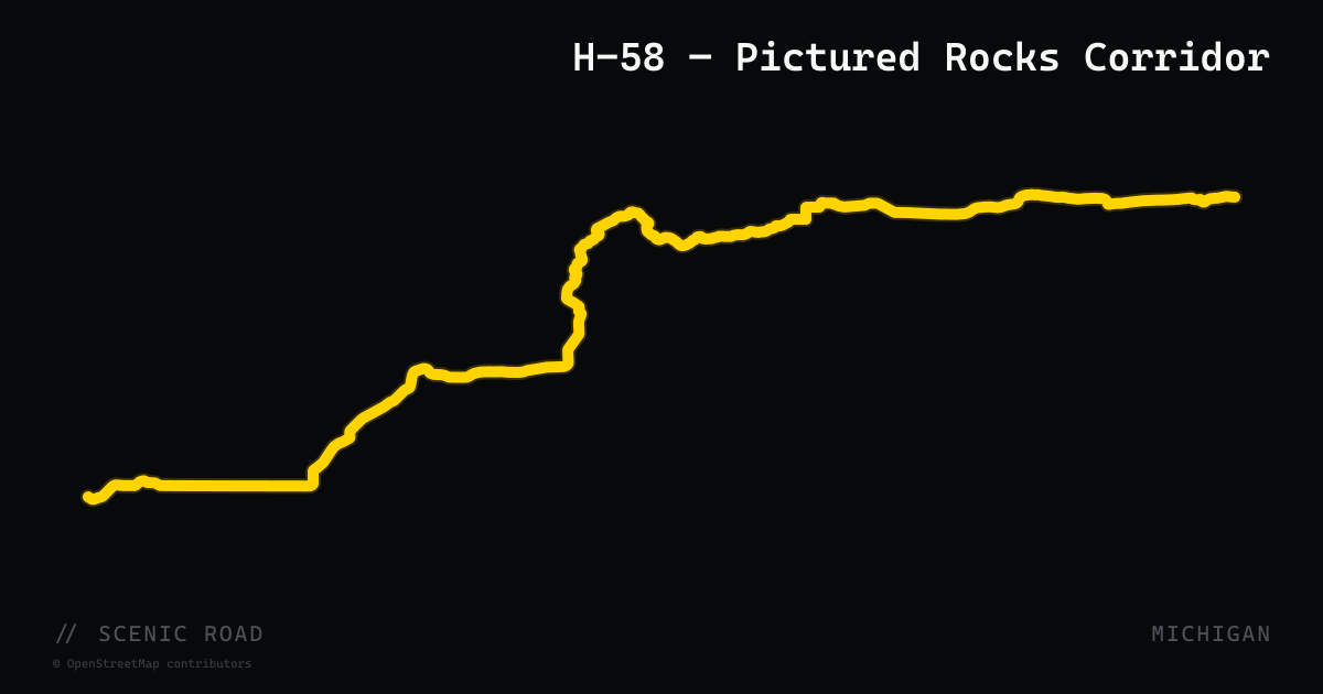
scenic road · michigan
H-58 — Pictured Rocks Corridor
Alger County's H-58 curves about 43 paved miles through Hiawatha National Forest country between Munising and Grand Marais, serving as the access road for Pictured Rocks National Lakeshore. The broader seed ride continues from Grand Marais back west on M-28 to Marquette; the mapped route covers the H-58 segment.
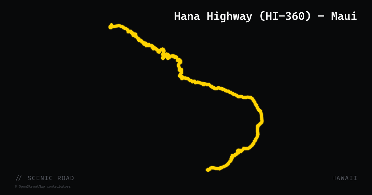
scenic road · hawaii
Hana Highway (HI-360) — Maui
Kahului/Pā'ia to Hana, ~52 mi. **~620 curves and 59 bridges (46 one-lane)**, mostly 25 mph or below. Sea cliffs, waterfalls. The closest Hawaii equivalent to the Dragon, slowed badly by tourist traffic — ride at dawn.
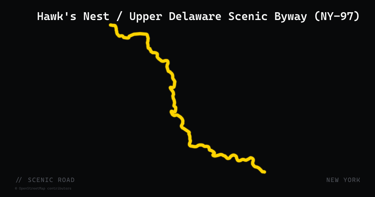
scenic road · new york
Hawk's Nest / Upper Delaware Scenic Byway (NY-97)
Port Jervis to Hancock, ~70 mi. Cliffside cut high above the Delaware River where Porsche/BMW commercials are filmed.
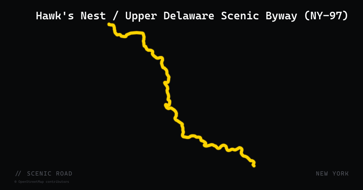
scenic road · new york
Hawk's Nest / Upper Delaware Scenic Byway (NY-97)
NY-97 follows the Delaware River roughly 70 miles from Port Jervis to Hancock as the Upper Delaware Scenic Byway. The Hawk's Nest section just west of Port Jervis is a cliffside cut high above the river with classic stacked corners — a favorite filming location for car commercials — and it stays open year-round.
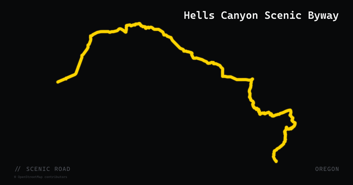
scenic road · oregon
Hells Canyon Scenic Byway
A 218-mile loop through northeast Oregon encircling the Wallowa Mountains and skirting the rim of Hells Canyon, the deepest river gorge in North America.
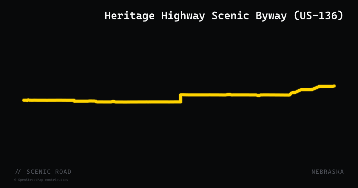
scenic road · nebraska
Heritage Highway Scenic Byway (US-136)
A 238-mile Nebraska-designated scenic byway along US-136 from Brownville on the Missouri River west to Edison, crossing 10 counties of southeastern Nebraska. Highlights include the Homestead National Historical Park in Beatrice (commemorating the 1862 Homestead Act), Rock Creek Station State Historical Park with deep Oregon-California Trail wagon ruts near Fairbury, and the Willa Cather Childhood Home in Red Cloud. The eastern terminus at Brownville is one of Nebraska's oldest towns, with Missouri River waterfront and local wineries.
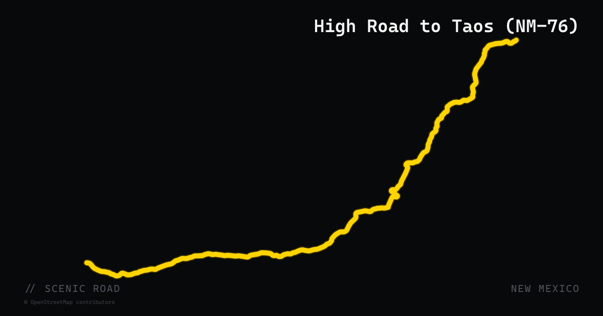
scenic road · new mexico
High Road to Taos (NM-76)
The High Road to Taos is a 56-mile National Scenic Byway connecting Santa Fe and Taos through the Sangre de Cristo Mountains via a string of Spanish colonial villages. The core of the route follows NM-76 through Córdova, Truchas (an 8,000-foot weaving village), Las Trampas, and Chamisal before picking up NM-75 through Peñasco and NM-518 into Ranchos de Taos. The route climbs from high desert scrubland to pine-forested ridges at over 8,700 feet, with panoramic views across the Jemez Mountains. Key stops include the Santuario de Chimayó, the National Historic Landmark 18th-century adobe church at Chimayó, and numerous working artist studios.
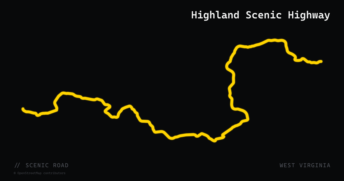
scenic road · west virginia
Highland Scenic Highway
A 43-mile National Scenic Byway on WV-39 and WV-150 from Richwood to US-219 north of Marlinton, climbing to 4,545 feet through the Monongahela National Forest — long sweepers, excellent pavement, four developed overlooks, and almost no traffic, often called a "mini Cherohala," with Cranberry Glades and the Falls of Hills Creek along the way. WV-150 is not maintained in winter and riding is discouraged November through March.
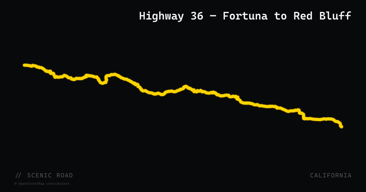
scenic road · california
Highway 36 — Fortuna to Red Bluff
California Highway 36 winds approximately 140 miles through coastal redwoods and the Coast Range, crossing Morgan Summit before descending to the Sacramento Valley at Red Bluff.
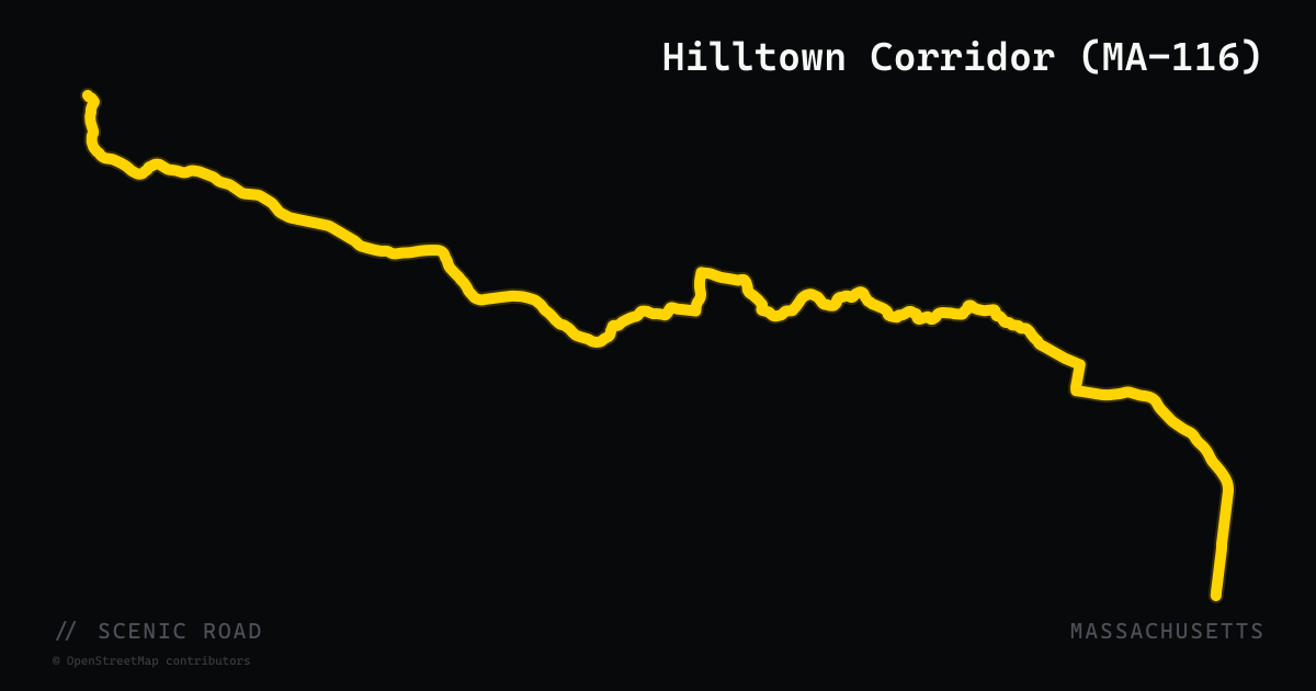
scenic road · massachusetts
Hilltown Corridor (MA-116)
A 44-mile run on Route 116 from Heath south through Ashfield to South Deerfield, widely considered by local riders the best motorcycle road in Massachusetts. The road delivers a near-continuous series of well-cambered corners through dense forest and farmland with no meaningful straightaways — just rhythmic, linked twists dropping from the hilltown plateau toward the Connecticut River Valley. The Ashfield-to-South-Deerfield section in particular is benchmark hill-road riding in the Northeast. Route 8A forms the northern segment of the classic loop.
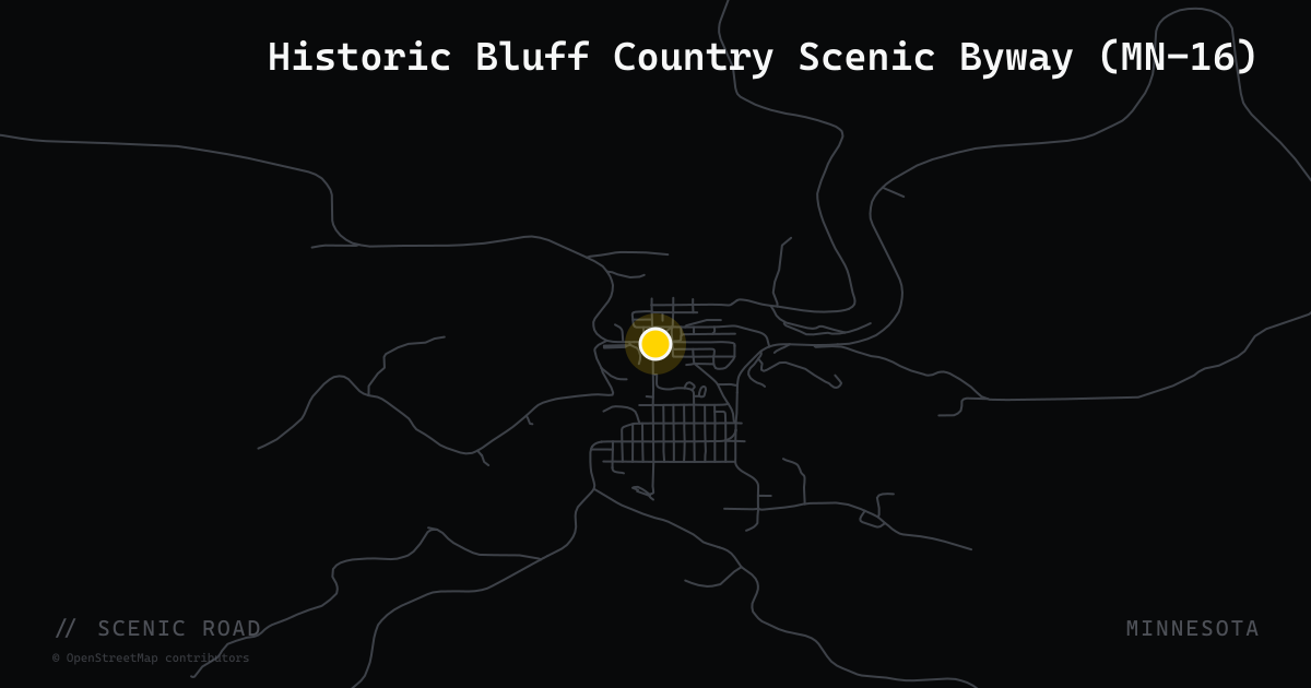
scenic road · minnesota
Historic Bluff Country Scenic Byway (MN-16)
MN-16 runs 88 miles from Dexter to La Crescent through southeast Minnesota's Driftless bluff country, following the Root River beneath 300-foot limestone bluffs with rolling, rollercoaster pavement and a classic stopover in Lanesboro.
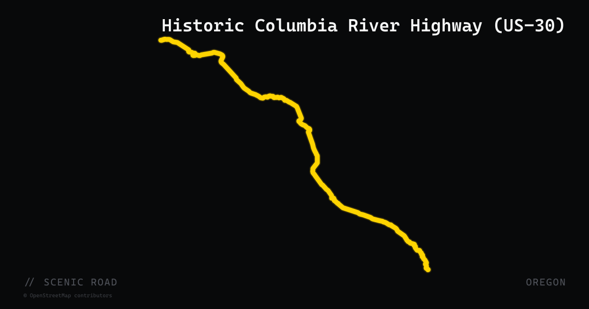
scenic road · oregon
Historic Columbia River Highway (US-30)
The Historic Columbia River Highway spans approximately 74 miles along the Columbia River Gorge between Troutdale and The Dalles, the first scenic highway in the United States to be named a National Historic Landmark. Built in 1913 with an engineering philosophy of showcasing natural beauty over efficiency, the road features sweeping switchbacks — including the famous Rowena Curves — that provide 900-foot panoramic views above the river. In an 8-mile stretch east of Crown Point, the byway passes five significant waterfalls: Latourell, Bridal Veil, Wahkeena, Multnomah (620 ft), and Horsetail. Still partially signed as US-30, the road is open year-round.
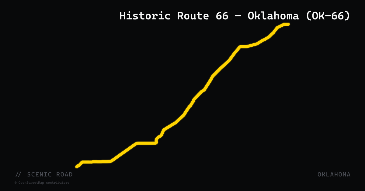
scenic road · oklahoma
Historic Route 66 — Oklahoma (OK-66)
Oklahoma State Highway 66 follows the 1926–1985 alignment of U.S. Route 66 for 192.7 miles across the state from El Reno in the west to near White Oak in the east, passing through Edmond, Tulsa, Sapulpa, Chandler, and Stroud. Oklahoma contains 400 miles of original Route 66 alignment — more than any other state. The highway is a National Scenic Byway (designated 2009). For motorcyclists, the most notable stretches include the original 'Ribbon Road' near Miami (a nine-foot-wide 1926 Portland concrete section), the brick alignment through Sapulpa, and the mid-state rural two-lane through Lincoln County.
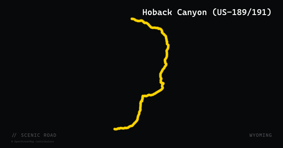
scenic road · wyoming
Hoback Canyon (US-189/191)
A roughly 30-mile river-canyon run along US-189/191 south of Hoback Junction through Bridger-Teton National Forest, following the Hoback River toward Bondurant and on to Pinedale. The road snakes through the narrow canyon past Battle Mountain, with the river weaving alongside the pavement, moose and bighorn sheep common in the willows, and nearly zero tourist traffic compared to the Jackson Hole corridor.
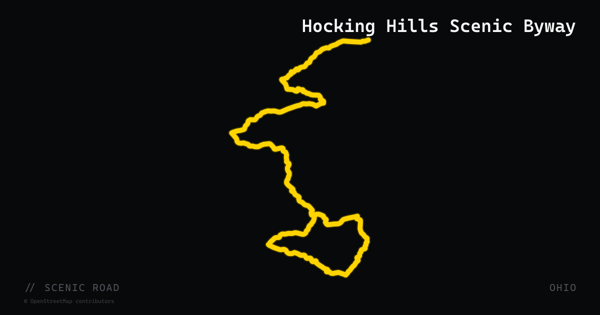
scenic road · ohio
Hocking Hills Scenic Byway
A roughly 26-mile tree-lined rollercoaster on SR-374, SR-56, and SR-664 between Rockbridge and South Bloomingville, threading the Hocking Hills gorge country with access to Ash Cave, Old Man's Cave, and Cedar Falls. Expect heavy park traffic on summer and fall weekends.
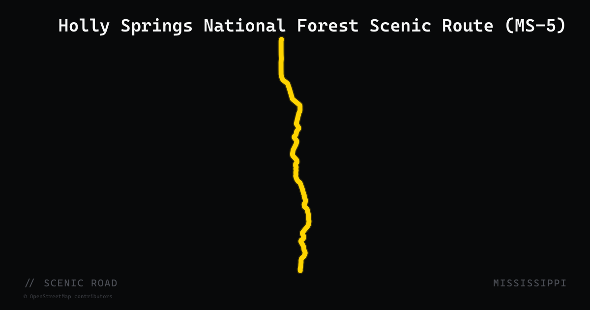
scenic road · mississippi
Holly Springs National Forest Scenic Route (MS-5)
MS-5 is a 24-mile state highway in Benton County designated as a Mississippi Scenic Route since March 1989, running from MS-178 at Hickory Flat north to US-72. The road passes through Holly Springs National Forest for much of its length, crosses the Tippah River, and threads through the village of Ashland. Terrain is a mix of wooded national forest corridors, pastoral farmland, and gradual curves — accessible for all skill levels while still offering genuine forest character in a corner of the state most riders overlook.
scenic road · colorado
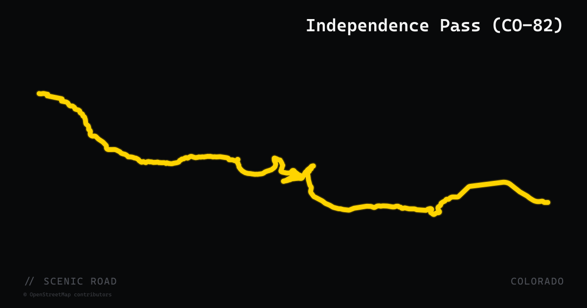
Independence Pass (CO-82)
Aspen to Twin Lakes, 32 mi. Colorado's highest paved state highway (12,095 ft). Tight switchbacks both sides. **Closed late October/early November through ~Memorial Day.** No vehicles over 35 ft.
scenic road · indiana
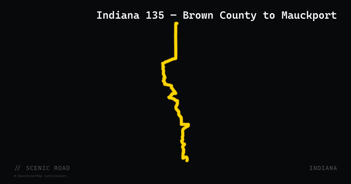
Indiana 135 — Brown County to Mauckport
SR-135 runs 138 miles from the south side of Indianapolis to the Ohio River bridge at Mauckport, but its most-ridden stretch is the 35-mile segment south of Nashville through Beanblossom, Story, and Corydon. The road is well traveled by motorcyclists because it traverses the Hoosier National Forest and skirts the eastern edge of the nearly 16,000-acre Brown County State Park — Indiana's 'Little Smokies.' South of Story the pavement rolls through dense second-growth forest with tight crests, off-camber sweepers, and minimal traffic. The road connects the Brown County SR-46 corridor to the Ohio River Scenic Byway at Corydon, making it the natural north-south spine of southern Indiana riding.
scenic road · indiana
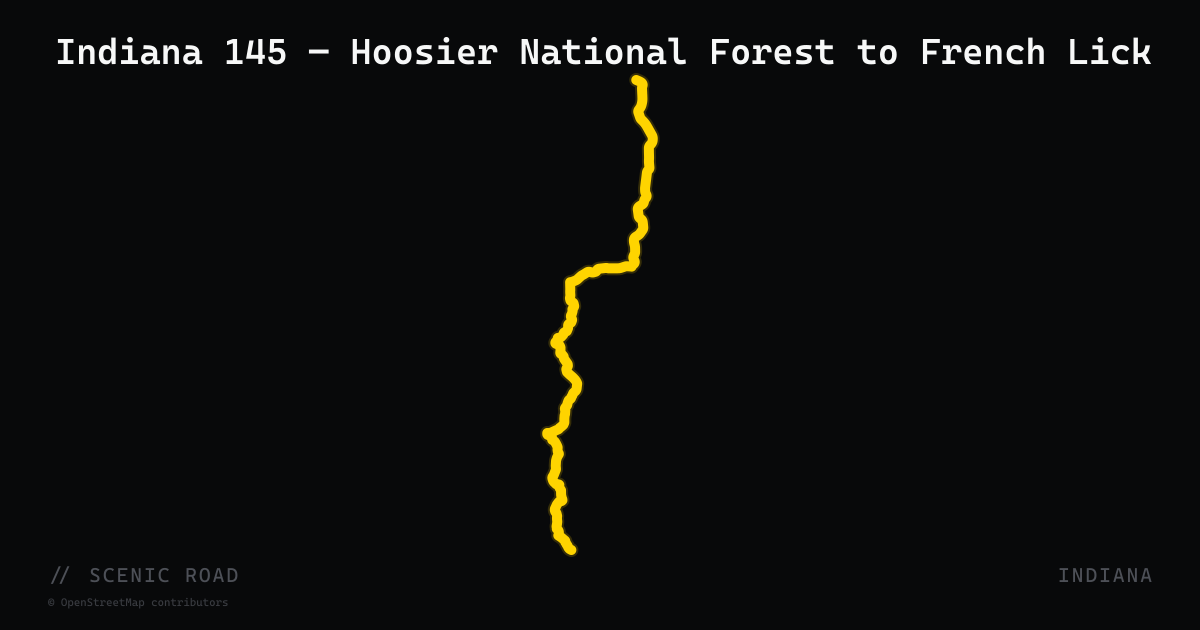
Indiana 145 — Hoosier National Forest to French Lick
SR-145 runs 45 miles north from Tell City (US-37) through Perry, Crawford, and Orange counties to French Lick, crossing the Hoosier National Forest and skirting Patoka Lake along the way. The middle third through the national forest is the scenic high point: a 25-mile stretch with almost no traffic, sweeping bends across forested ridgelines, and a Patoka Lake reservoir crossing. The road terminates in French Lick, best known for its Beaux-Arts French Lick Springs Hotel and the equally grand West Baden Springs Hotel — once called the 'Eighth Wonder of the World' for its 200-foot domed atrium. Rider Magazine identifies this stretch as one of the standout sections of a full southern Indiana tour.
scenic road · iowa
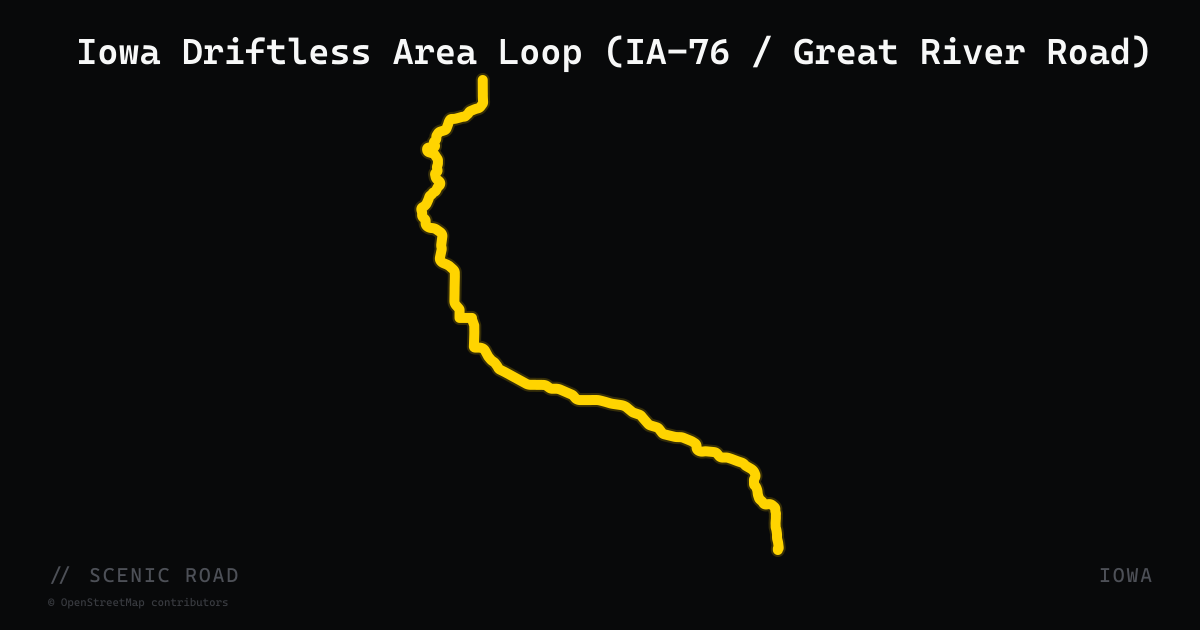
Iowa Driftless Area Loop (IA-76 / Great River Road)
Northeast Iowa's Driftless corner was never flattened by glaciers, leaving tall Mississippi River bluffs and steep wooded valleys. The roughly 68-mile Waukon loop links IA-76, IA-26, and US-52, with bluff-top climbs and hairpin descents down to river towns like Lansing and McGregor.
scenic road · iowa
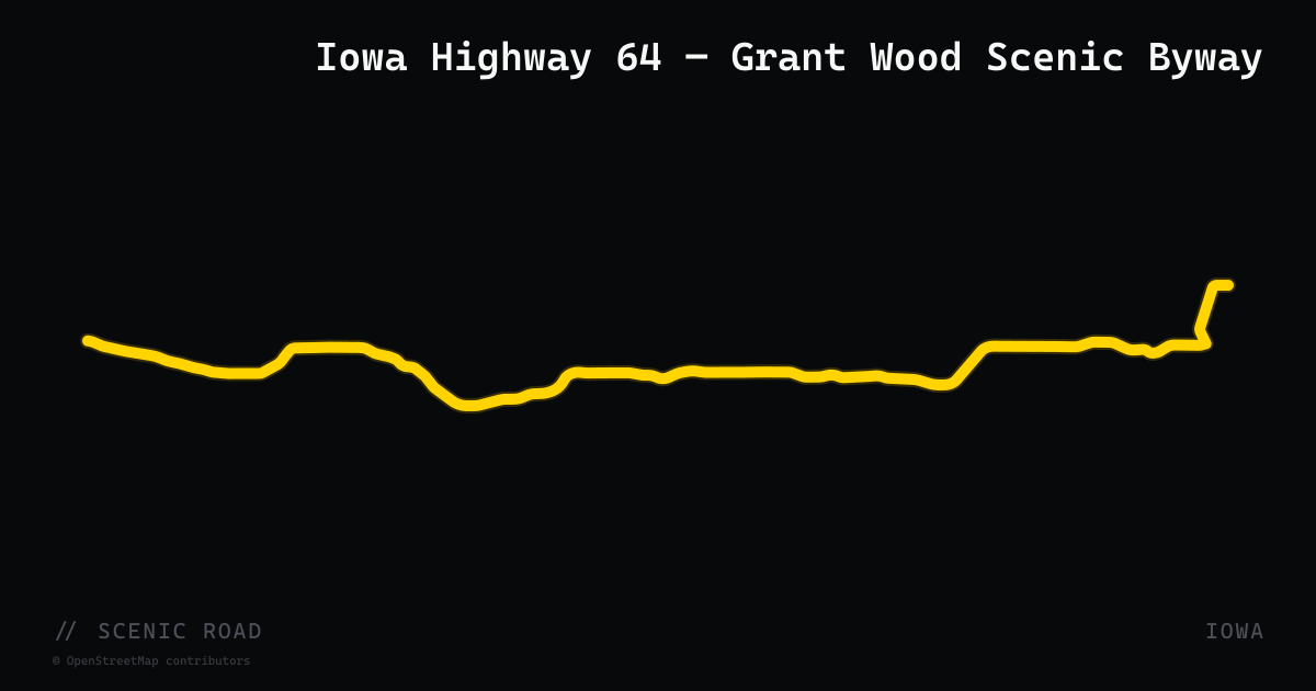
Iowa Highway 64 — Grant Wood Scenic Byway
Iowa Highway 64 runs 64 miles east from Anamosa (US-151 interchange) through Jones and Jackson counties to the Dale Gardner Veterans Memorial Bridge over the Mississippi near Sabula. The western half of the corridor is officially designated the Grant Wood Scenic Byway, named for the artist of 'American Gothic' who was educated at Antioch School, which the highway passes near Anamosa. The route delivers rolling limestone-bluff farmland, three rivers (Wapsipinicon, Maquoketa, Mississippi), wetlands, and three Iowa state parks. Towns along the way — Wyoming, Monmouth, Baldwin, Maquoketa — are small enough to have fuel and a diner. The Rider Magazine northeast Iowa loop commonly uses IA-64 as the return leg from the Mississippi River.
scenic road · iowa
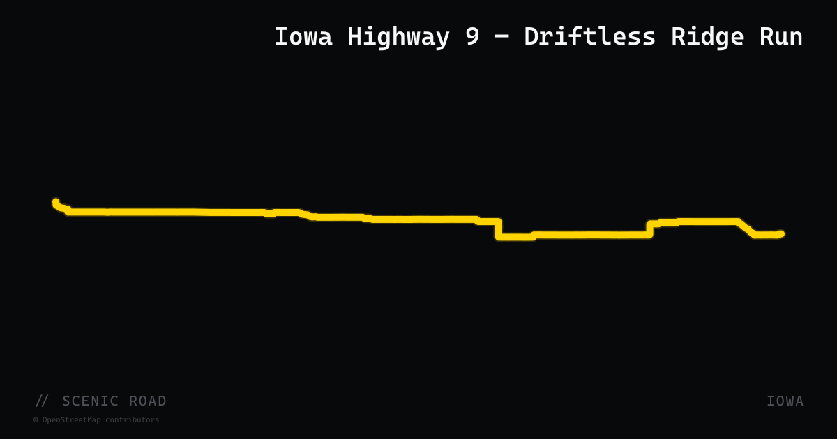
Iowa Highway 9 — Driftless Ridge Run
Iowa Highway 9 spans 295 miles across Iowa's entire northern tier, but its eastern section through Howard, Winneshiek, and Allamakee counties is a completely different ride. Departing the flat northern plains at Cresco, the highway makes a dramatic transition into the Driftless Area — terrain untouched by the last glaciation — with progressively rugged terrain, elevation swings, river valley crossings, and forested bluffs as it approaches the Mississippi. The final approach through Allamakee County curves north through Waukon, then drops into Clear Creek valley, entering Lansing directly at the Black Hawk Bridge over the Mississippi. The eastern 60–70 miles from Cresco to Lansing concentrate all the character: sweeping S-curves, wooded ridgelines, and views over the Upper Iowa River bottomlands.
scenic road · south dakota
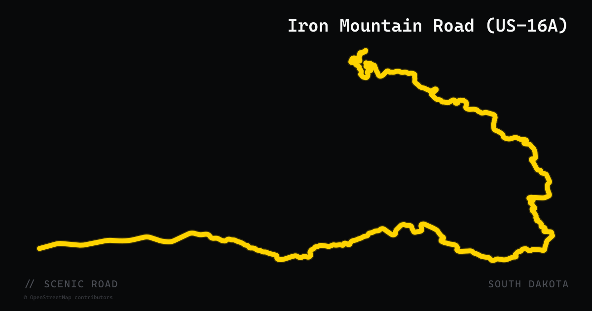
Iron Mountain Road (US-16A)
US-16A between Custer State Park and Mount Rushmore packs 314 curves, 14 switchbacks, three wooden pigtail bridges, and three single-lane tunnels engineered to frame Mount Rushmore in the windshield. Ride it south-to-north for the tunnel framing, and expect heavy tourist traffic in summer.
scenic road · massachusetts
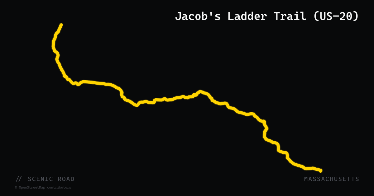
Jacob's Ladder Trail (US-20)
A 35-mile scenic byway on U.S. Route 20 through the southern Berkshire foothills, designated by Massachusetts in 1992 and originally opened in 1910 as 'the First of the Great Mountain Crossovers.' The route winds through Lee, Becket, Chester, Huntington, and Russell, crossing the Westfield River valley with forested hills, open fields, steep rock ledges, and wetlands. It roughly parallels the Mass Pike but sees a fraction of the traffic, making it a pleasant back-road alternative with continuous rural character. Historically part of the transcontinental Yellowstone Trail.
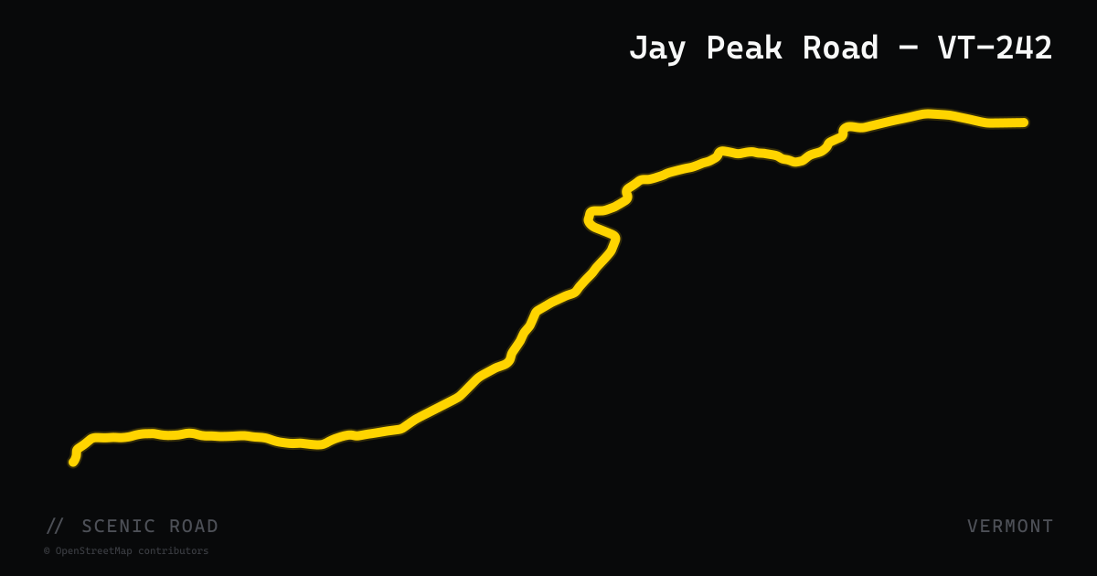
scenic road · vermont
Jay Peak Road — VT-242
Vermont Route 242 runs 12.8 miles through the Green Mountains from Montgomery (VT-118) east to Troy (VT-101), passing directly by Jay Peak — Vermont's northernmost major ski mountain, known for the highest average snowfall in the eastern US. The road climbs through dense boreal forest typical of the far north, reaches its high point near the Jay Peak ski area access road, then descends into the Missisquoi River valley at Troy. Traffic is light year-round outside ski season. The route is a natural extension of a Northeast Kingdom loop combining VT-5A (Lake Willoughby), US-5, and VT-118 through the Montgomery covered bridge village.
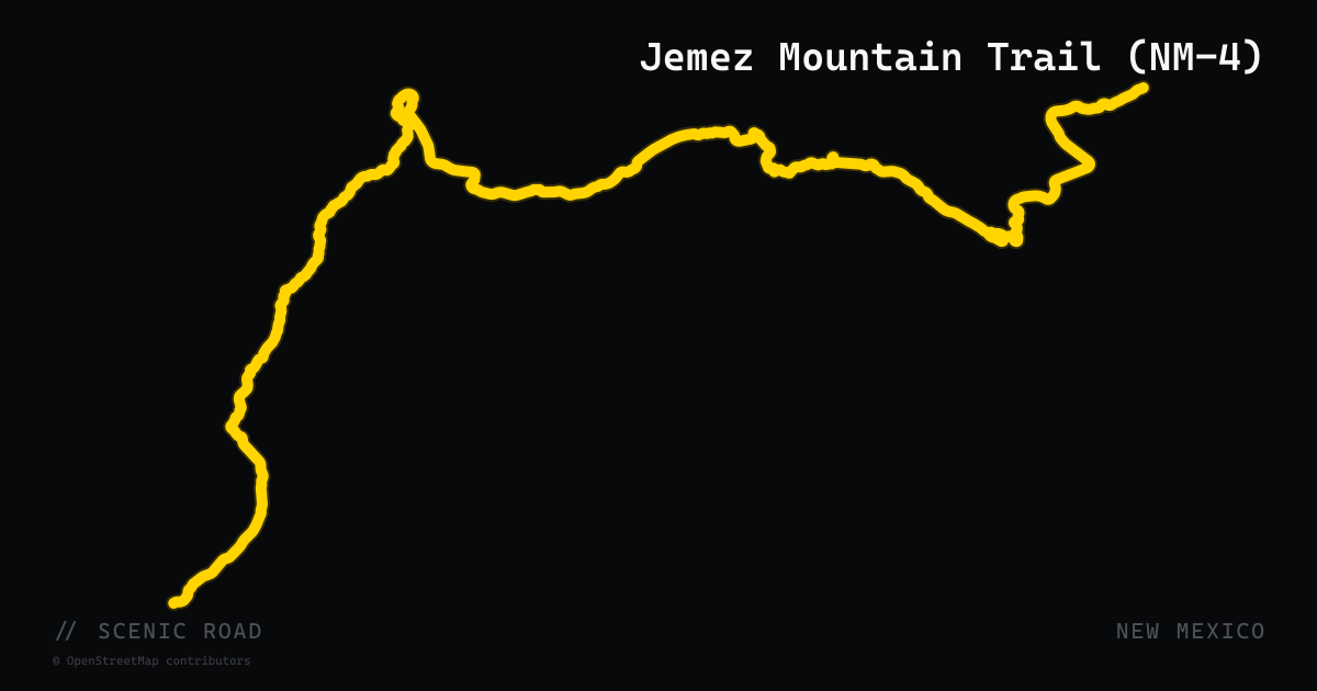
scenic road · new mexico
Jemez Mountain Trail (NM-4)
NM-4 is the primary highway of the Jemez Mountain Trail National Scenic Byway, running 68 miles from San Ysidro (at US-550) northeast to White Rock (at NM-502). The route enters dramatic red-walled Jemez Canyon near Jemez Pueblo, passes through the hot springs village of Jemez Springs, climbs through Carson National Forest to the rim of Valles Caldera — a 13-mile-wide volcanic caldera at 8,900 feet filled with grazing elk — then descends through the ponderosa plateaus above Los Alamos. The road through the caldera section offers sweeping open views with minimal traffic and high-quality pavement.
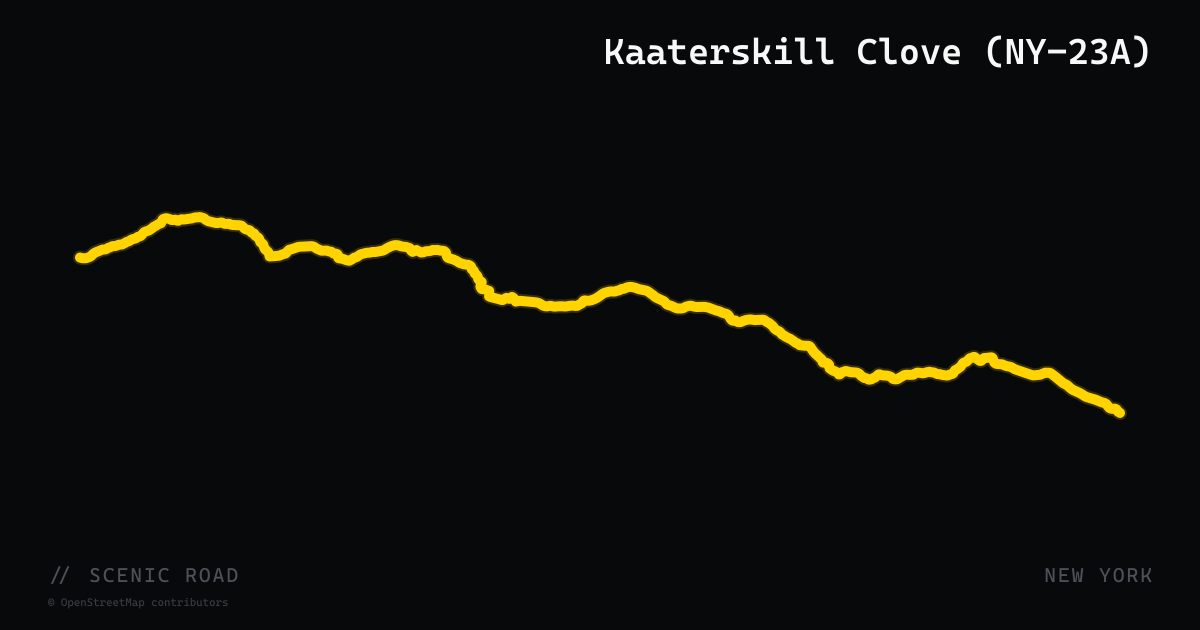
scenic road · new york
Kaaterskill Clove (NY-23A)
New York State Route 23A traverses Kaaterskill Clove — one of the steepest and most dramatic mountain passes in the Northeast — climbing 2,000 feet in roughly two miles between Palenville and Haines Falls in Greene County. The road was assigned in the mid-1920s as an alternate to NY-23 through the Catskills and passes directly beside Kaaterskill Falls, the highest cascading waterfall in New York State at 260 feet. The road crests at 2,300 feet near Tannersville before descending toward Hunter Mountain. It is a centerpiece of the Great Northern Catskills 'Grand Tour' motorcycle circuit and known for its tight switchbacks and waterfall views.
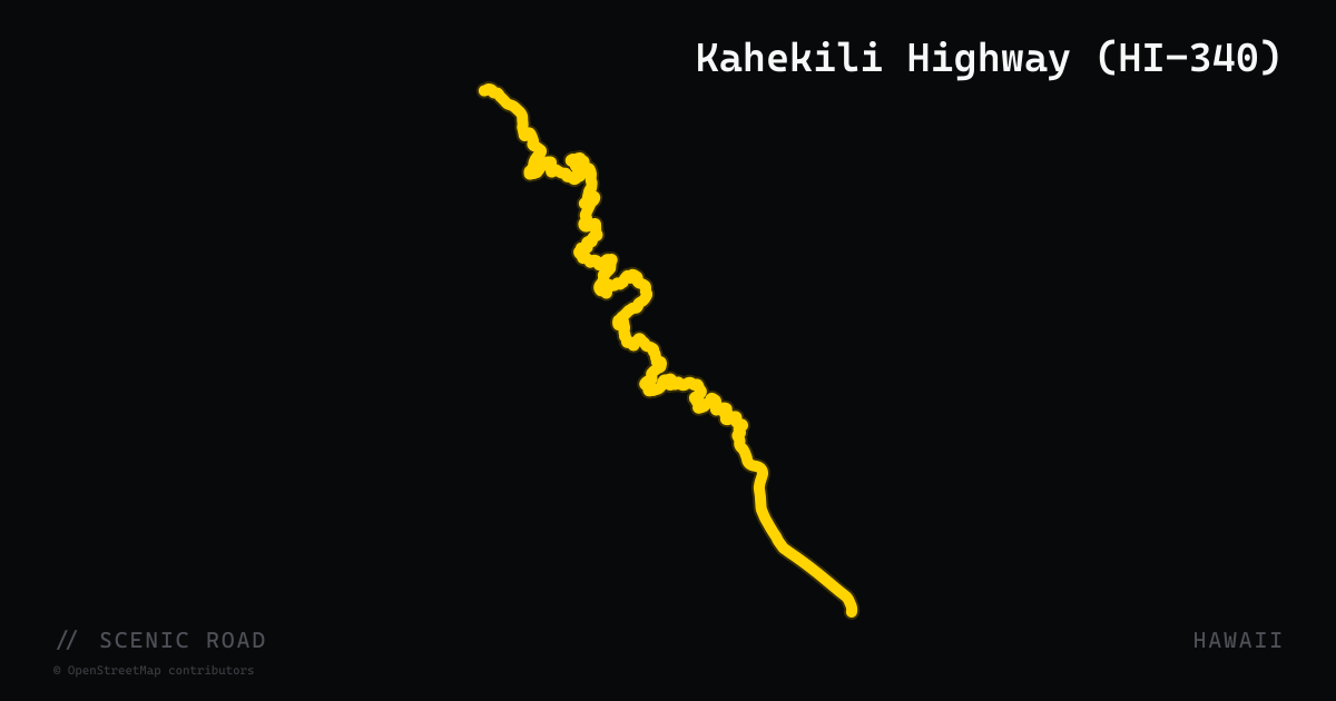
scenic road · hawaii
Kahekili Highway (HI-340)
Kahekili Highway (Route 340) is a 20-mile coastal road along Maui's remote north shore, running from Kapalua westward to Wailuku. The road is paved throughout but narrows to a single lane with infrequent pull-outs along its most dramatic section between mile markers 6.9 and 16.3, where sheer cliffs drop directly to the Pacific on one side and the West Maui Natural Area Reserve rises on the other. Blind corners, no guardrails, and occasional rocks from above demand slow, deliberate riding. The payoff is total solitude, vertical sea cliffs, and views that rival the Hana Highway with a fraction of the traffic. Car rental restrictions apply; riders must use genuine judgment.
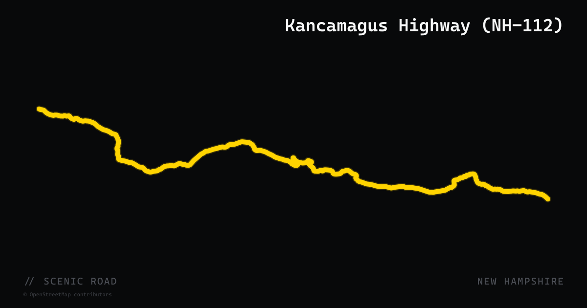
scenic road · new hampshire
Kancamagus Highway (NH-112)
Lincoln to Conway, ~34.5 mi. "The Kanc" — the most famous scenic ride in New England. Crosses 2,855-ft Kancamagus Pass, the iconic hairpin, Sabbaday Falls. No gas on the road itself.
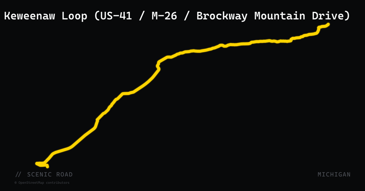
scenic road · michigan
Keweenaw Loop (US-41 / M-26 / Brockway Mountain Drive)
A roughly 110-mile loop from the Houghton area to the tip of the Keweenaw Peninsula, combining US-41's tree-canopied final miles into Copper Harbor, the M-26 shoreline, and the 9-mile Brockway Mountain Drive climb — the highest above-sea-level drive between the Rockies and the Alleghenies. The mapped route follows the Copper Country Trail National Byway (US-41); ride M-26 and Brockway Mountain Drive to complete the loop.
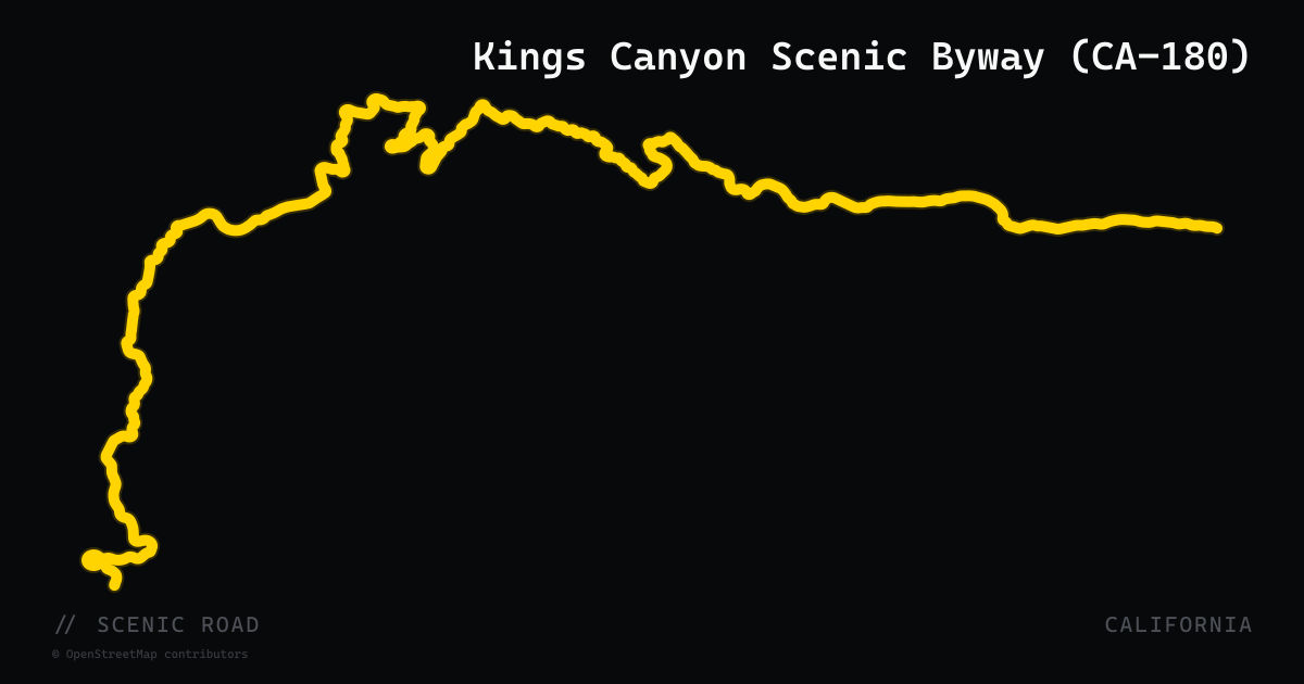
scenic road · california
Kings Canyon Scenic Byway (CA-180)
CA-180 climbs from the San Joaquin Valley foothills near Fresno into the Sierra Nevada, entering Kings Canyon National Park at the Big Stump entrance and continuing 50 miles through the Kings Canyon Scenic Byway to Roads End near Cedar Grove. The road descends into Kings Canyon — at 8,200 feet deep, deeper than the Grand Canyon — with dramatic granite cliff faces that shift color through the day, old-growth sequoia groves near Grant Grove, and a series of sweeping curves through Sequoia National Forest between the two park sections. No services beyond Cedar Grove; the road closes seasonally in winter. Entrance fee required for the national park segment.
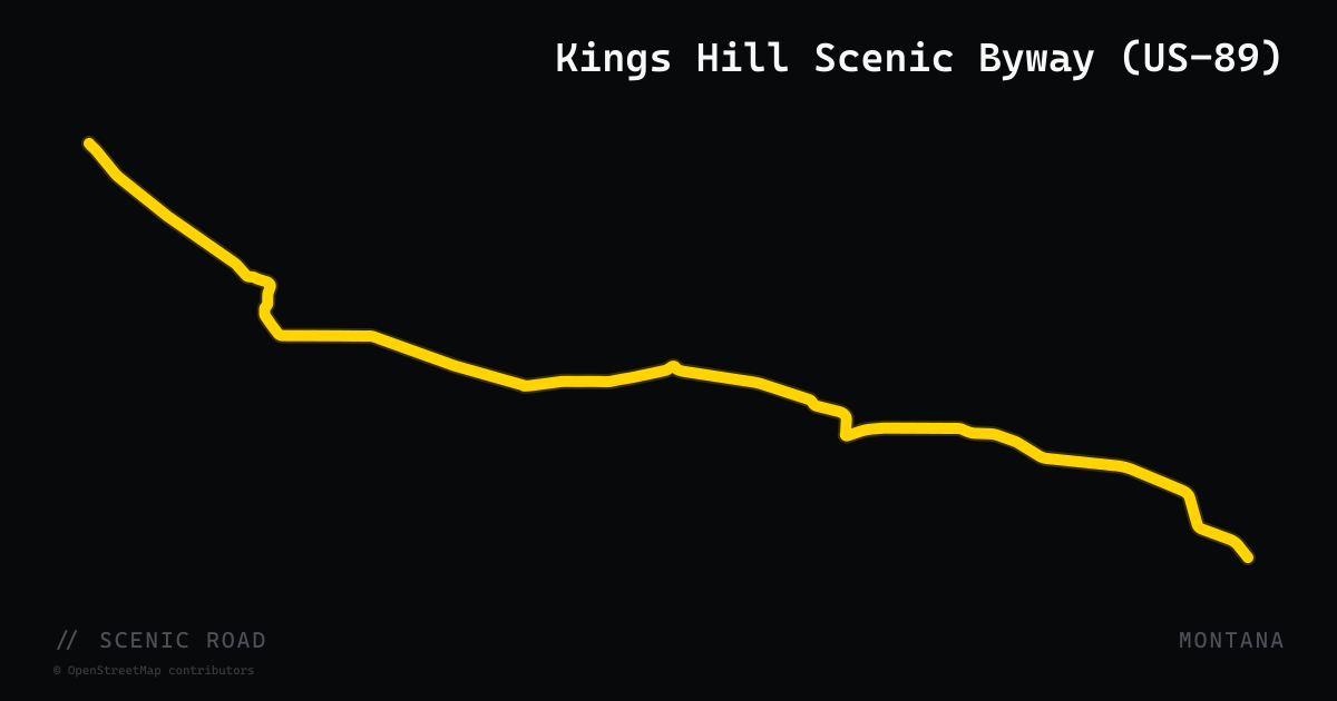
scenic road · montana
Kings Hill Scenic Byway (US-89)
A 71-mile federally designated National Scenic Byway along US-89 through the Little Belt Mountains of central Montana, crossing Kings Hill Pass at 7,393 ft within the Lewis and Clark National Forest. The road winds through the communities of Monarch and Neihart, past Showdown Ski Area and Sluice Boxes State Park, dropping along Belt Creek via tight sweepers on both the north and south approaches. Minimal traffic and sweeping mountain curves make this one of Montana's best-kept riding secrets.
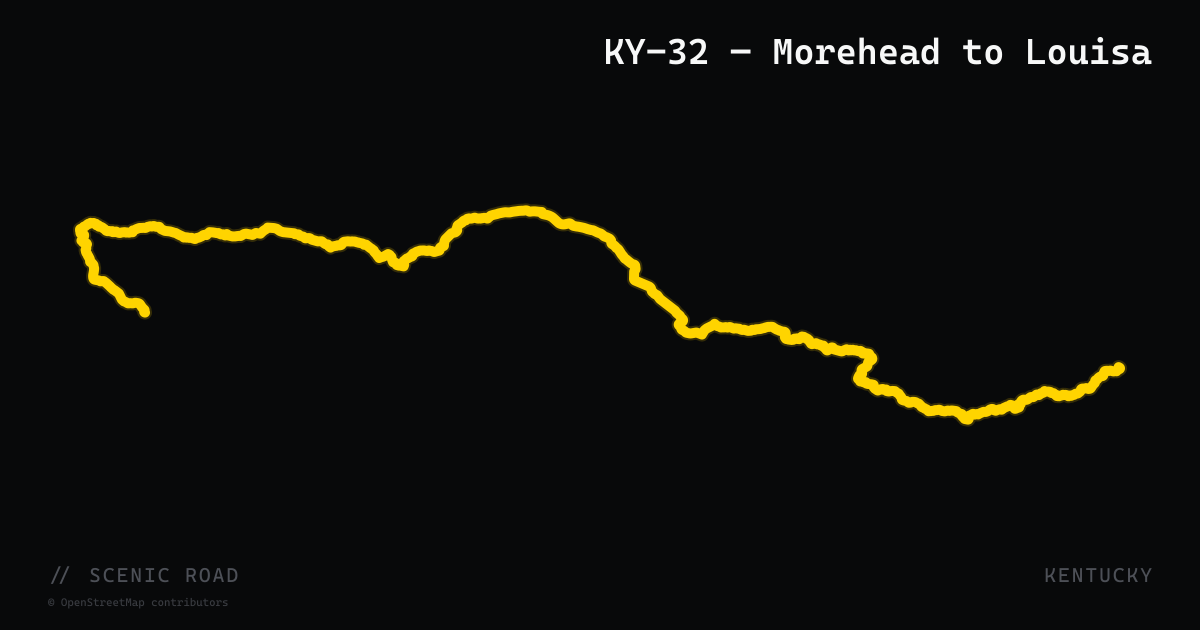
scenic road · kentucky
KY-32 — Morehead to Louisa
Kentucky Route 32 runs roughly 80 miles from Morehead (I-64 Exit 137, Rowan County) east to Louisa in Lawrence County through the mountain forests of northeastern Kentucky. The road is two-lane blacktop with consistent curves, mountain ridgeline views, and a long stretch beside Yatesville Lake in Lawrence County — a reservoir ringed by forested hills that makes for some of the best lake-view riding in the state. Traffic is light given the rural character of the corridor; gas and food stops are few, so a full tank leaving Morehead is recommended. Spring and fall foliage seasons are the peak riding window.
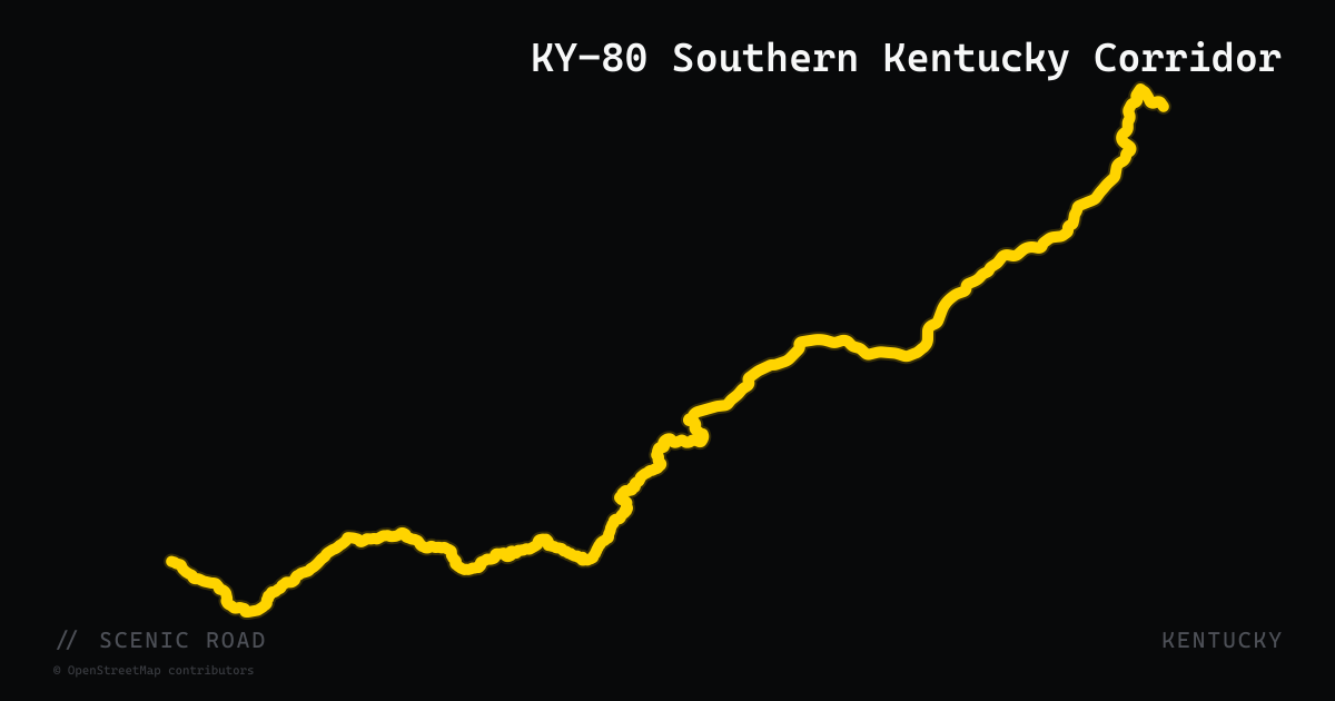
scenic road · kentucky
KY-80 Southern Kentucky Corridor
Kentucky Route 80 is the state's longest highway at 483 miles, running the full width of southern Kentucky from the Mississippi River at Columbus to the Virginia state line near Elkhorn City. The western section through the Land Between the Lakes runs concurrent with US-68 and is part of the Kentucky Scenic Byways system. The recommended motorcycle segment runs roughly 100 miles from Somerset east through Hazard and into the mountains toward Breaks Interstate Park — sweeping turns, small hills, light traffic (most through traffic uses the Cumberland Expressway), and a mix of farmland, forest, and river bottomland. The eastern terminus near Elkhorn City delivers riders to the doorstep of Breaks Interstate Park, one of the most dramatic canyon viewpoints east of the Rockies.
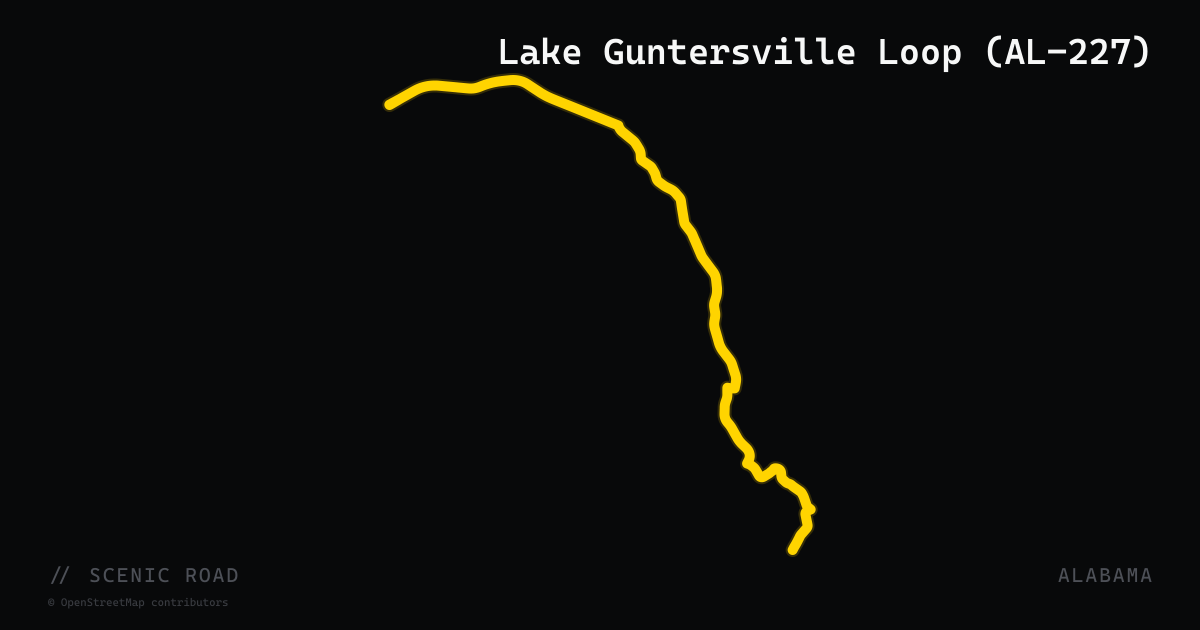
scenic road · alabama
Lake Guntersville Loop (AL-227)
A 32-mile lakeside loop using AL-227 and County Road 67 that hugs the shoreline of Lake Guntersville and the Tennessee River between Guntersville and Scottsboro. Easy flowing sweepers through dense forest and over scenic causeways with almost no truck traffic. Excellent pavement year-round; Lake Guntersville State Park offers mid-ride stops for photos and picnics.
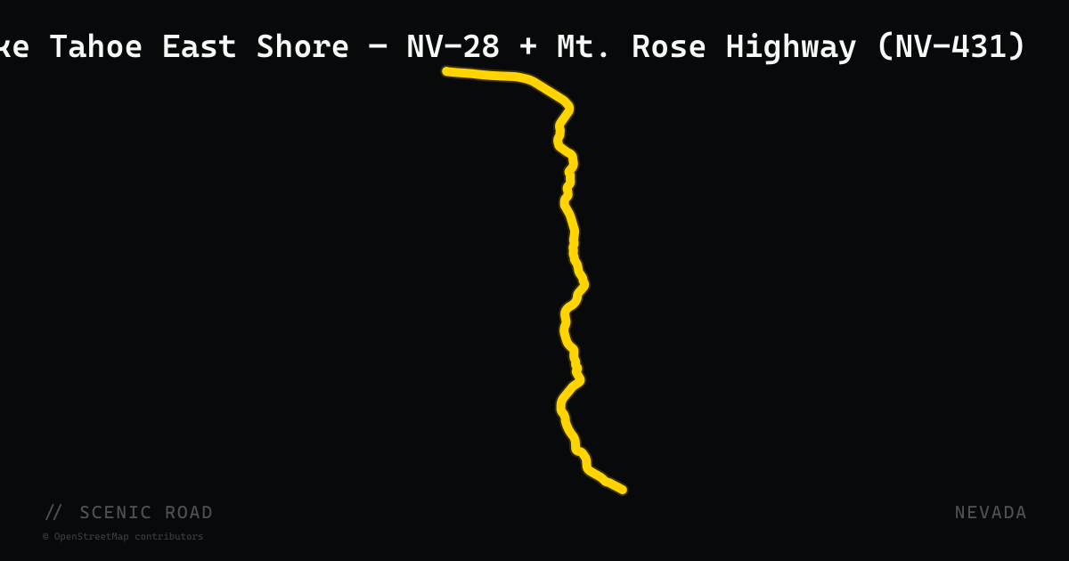
scenic road · nevada
Lake Tahoe East Shore — NV-28 + Mt. Rose Highway (NV-431)
Reno to Tahoe via Mt. Rose Summit (~8,900 ft), ~25 mi. Pairs with Kingsbury Grade (NV-207) for a Tahoe loop.
scenic road · south carolina
Lake Wateree Loop (SC-97 / River Road)
A 38-mile loop northeast of Columbia that traces the shoreline of Lake Wateree using SC-97 (Liberty Hill Road) and State Road S-20-101 (River Road). The ride begins in Camden, heads north on SC-97 through lightly traveled rural countryside, then transitions onto River Road, which skirts the wooded eastern shoreline of Lake Wateree with rolling hills, gentle curves, and periodic lake views. The loop continues south on Longtown Road through open stretches and cove glimpses before returning to Camden. Traffic is minimal throughout; the terrain is Piedmont flatland with enough gentle curves to keep a cruiser or touring bike engaged. A practical half-day loop from Columbia or a natural add-on from a Myrtle Beach or Upstate run.
scenic road · new hampshire
Lake Winnipesaukee Loop (NH-109)
New Hampshire Route 109 forms the eastern arc of the 65-mile Lake Winnipesaukee circumnavigation loop, running from Center Sandwich south through Moultonborough, Tuftonboro, and Wolfeboro — the oldest summer resort town in the country. The road is winding and wooded throughout, with frequent glimpses of the lake's broad blue expanse through the trees. The full loop connects NH-109 with NH-11 (Alton to Gilford), NH-28, and NH-25, encircling New Hampshire's largest lake and largest concentration of motorcycle-week culture. Wolfeboro's downtown waterfront is a natural stop; Alton Bay and Weirs Beach anchor the southern and western ends of the loop.
scenic road · new hampshire
Lakes Region Back Road (NH-153)
New Hampshire Route 153 runs 50 miles north-south along the NH-Maine border from Farmington to Conway, passing through quiet Carroll County towns and threading between a succession of secluded lakes — Lovell Lake, Crystal Lake, Purity Lake, and Conway Lake among them. Designated a Scenic and Cultural Byway north of Union, the curvy two-lane highway passes Eaton Center's white-steepled church and offers a forested alternative to the busier NH-16 corridor to the west. The road briefly crosses into Maine for two miles through Parsonsfield. Blind crests and tight-radius corners keep speeds honest; the lack of commercial development means the landscape stays intimate throughout.
scenic road · pennsylvania
Laurel Highlands Scenic Byway
A roughly 68-mile byway on PA-381 and PA-711 through the Laurel Highlands, linking Donegal, Ohiopyle, and Confluence along the Youghiogheny River, with Fort Necessity and Frank Lloyd Wright's Fallingwater close by. Expect tourist traffic around Ohiopyle on summer weekends.
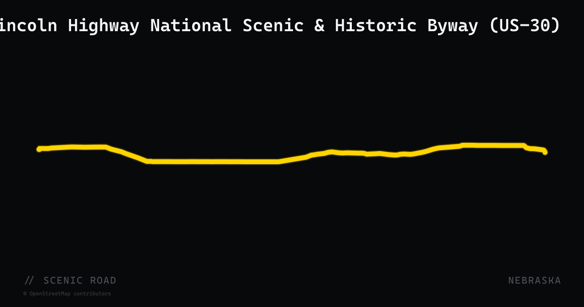
scenic road · nebraska
Lincoln Highway National Scenic & Historic Byway (US-30)
A 452-mile Nebraska-designated and nationally recognized historic byway following US-30 from the Wyoming state line to the Iowa border at Blair — the only Nebraska byway that crosses the entire state. The route traces the original 1913 Lincoln Highway, America's first transcontinental road. Eastern miles follow the Platte River valley through Omaha; the central stretch passes the Lincoln Highway Visitors Center in Shelton and the 'stair steps' original alignment at Gothenburg; the western leg offers open plains scenery and historic markers toward the Wyoming border.
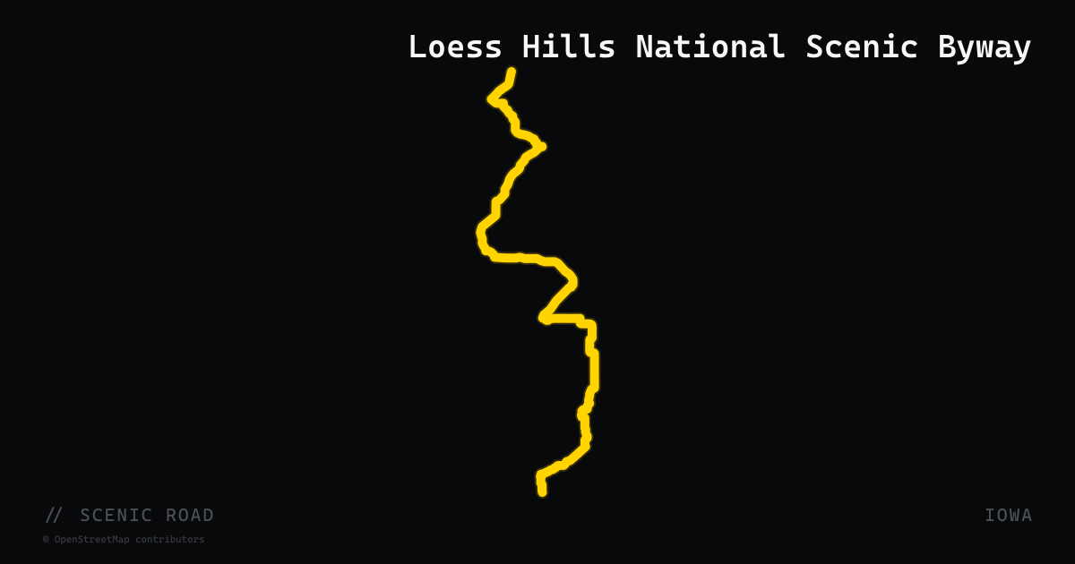
scenic road · iowa
Loess Hills National Scenic Byway
A 220-mile spine from Akron to Hamburg along Iowa's western edge, tracing a globally rare loess landform that piles into sharp ridges above the Missouri River valley. The most dramatic ridge riding is between Pisgah and Little Sioux, and a network of paved-and-gravel excursion loops branches off the main route.
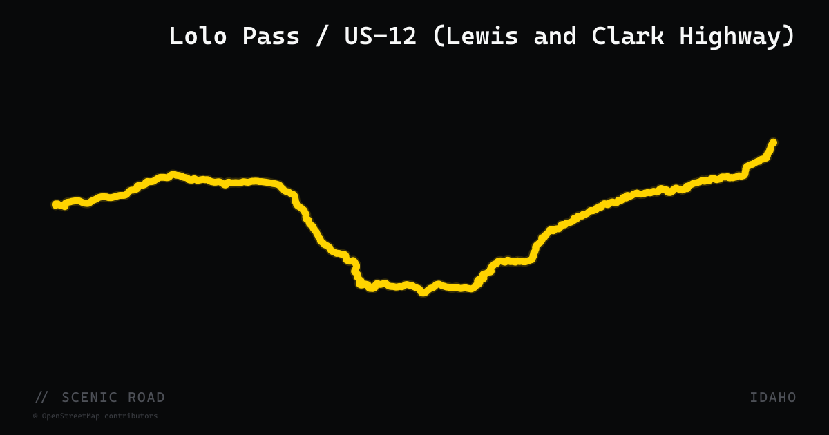
scenic road · idaho
Lolo Pass / US-12 (Lewis and Clark Highway)
175 miles of US-12 from Lewiston up the Clearwater and Lochsa Rivers to Lolo Pass — Lewis and Clark's hardest stretch, hot springs in the trees, and one of the great untrafficked motorcycle two-lanes.
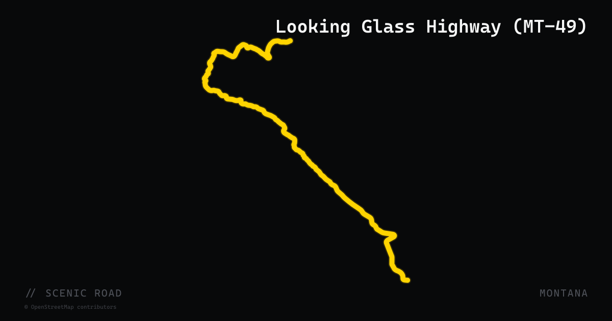
scenic road · montana
Looking Glass Highway (MT-49)
A 12-mile paved state highway on the Blackfeet Reservation connecting US-2 at East Glacier Park north to US-89 near Kiowa, skirting the southeastern corner of Glacier National Park. Named after the Nez Perce leader, MT-49 is twisty and narrow with west-facing views into the Two Medicine area of Glacier and strong grizzly bear, moose, and wolf sighting potential. A spur road branches into Two Medicine itself. Note: the northerly 8 miles over Looking Glass Hill are steep and prone to landslides; avoid after heavy rain or in early spring.
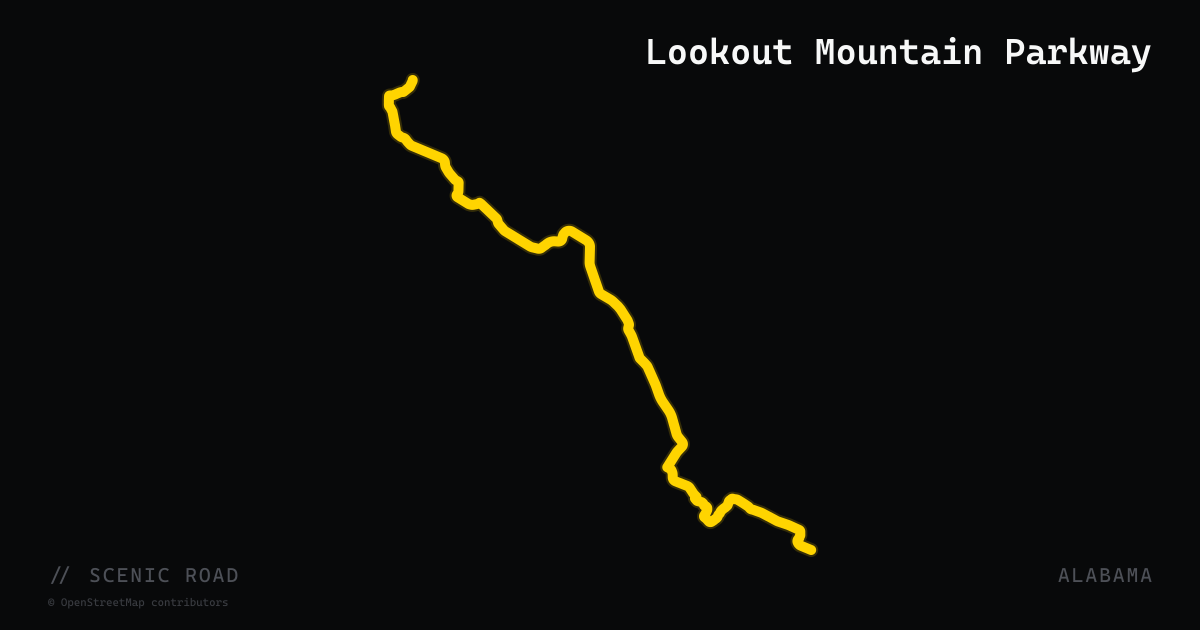
scenic road · alabama
Lookout Mountain Parkway
A 93-mile designated scenic byway running northeast from Gadsden through DeSoto State Park, Mentone, and Little River Canyon to the Georgia border. The route stitches together AL-176 and AL-117, climbing Lookout Mountain's plateau through dense hardwood forest, canyon brow vistas, and historic small towns. Named one of America's most scenic drives by Reader's Digest.
scenic road · nebraska
Loup Loop / Broken Bow Area (NE-92)
~80–100 mi loop. Mix of rolling plains and Sandhills terrain.
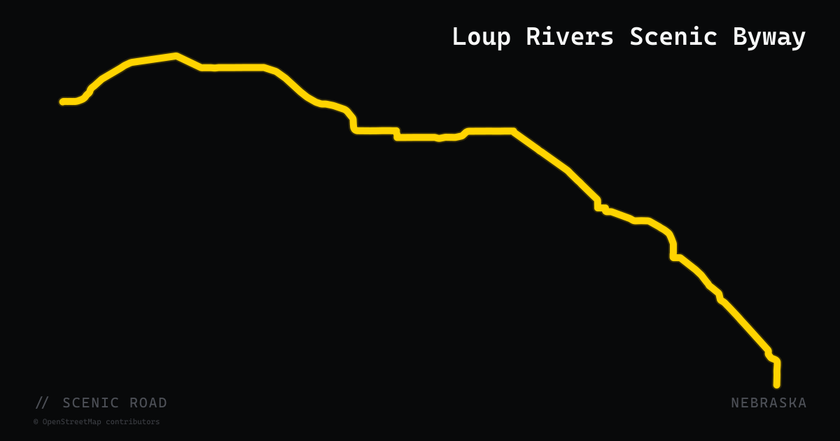
scenic road · nebraska
Loup Rivers Scenic Byway
About 150 miles along Nebraska Highways 11 and 91 from Wood River to Dunning, following the Loup river valleys from farm country into the edge of the Sandhills. A quieter mix of rolling plains and dune terrain than the better-known NE-2 corridor.
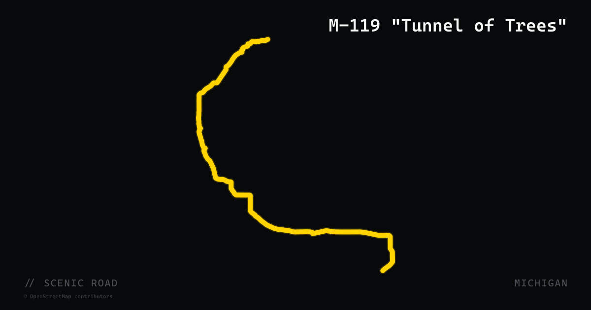
scenic road · michigan
M-119 "Tunnel of Trees"
Michigan's only state highway without a centerline, M-119 winds about 20 miles from Harbor Springs to Cross Village under a dense hardwood canopy with roughly 135 curves, the tightest at Devil's Elbow and Horseshoe Curve. The road is narrow and shared with cyclists and oncoming traffic, so the challenge is precision at low speed rather than pace.
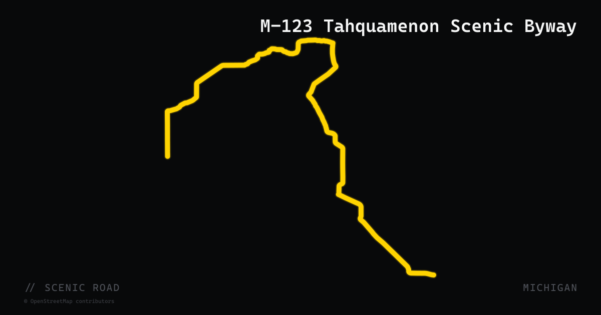
scenic road · michigan
M-123 Tahquamenon Scenic Byway
A 63-mile designated Scenic Heritage Route running through Michigan's eastern Upper Peninsula, from M-28 near Newberry north through old-growth forest to the village of Paradise on Whitefish Bay. The byway passes Tahquamenon Falls State Park — home to the 200-foot-wide Upper Falls, one of the largest waterfalls east of the Mississippi — and continues along the Lake Superior shoreline near Paradise. The route's U-shaped alignment and forested corridor make it a natural anchor for eastern UP motorcycle loops. Part of the Lake Superior Circle Tour.
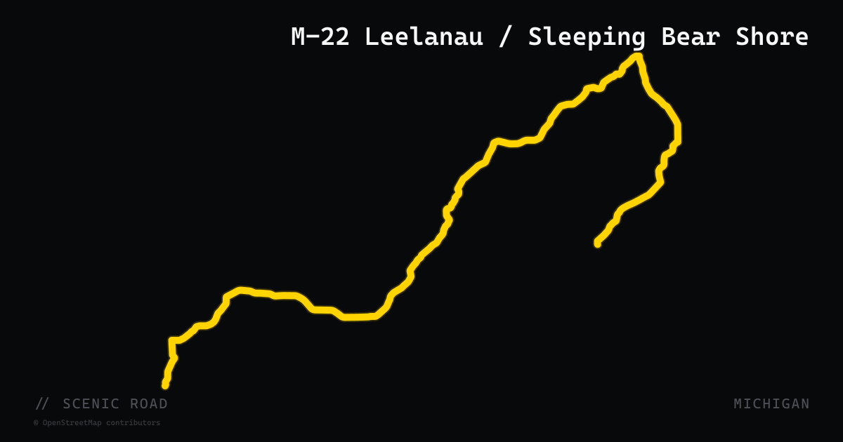
scenic road · michigan
M-22 Leelanau / Sleeping Bear Shore
A 116-mile loop highway tracing the Lake Michigan shoreline of the Leelanau Peninsula, from Manistee in the south through Sleeping Bear Dunes National Lakeshore, north to Northport, then south along Grand Traverse Bay back to Traverse City. Designated as both the Leelanau Scenic Heritage Route and a Pure Michigan Byway, and part of the Lake Michigan Circle Tour. The route is rolling and mostly wooded with lake views, vineyard scenery near Suttons Bay, and access to the Pierce Stocking Scenic Drive. Voted the nation's best scenic autumn drive by readers in 2015.
scenic road · michigan
M-28 Lake Superior Corridor
At 290 miles, M-28 is the longest M-numbered state highway in Michigan, crossing the Upper Peninsula east-west from Wakefield to near Sault Ste. Marie. The most scenic segment runs between Marquette and Munising, where the highway closely parallels Lake Superior's southern shore and provides direct access to Pictured Rocks National Lakeshore, Grand Island National Recreation Area, and Scott Falls roadside park. The route crosses sections of both Ottawa and Hiawatha National Forests. Three segments of M-28 are designated part of the Lake Superior Circle Tour. Featured by UP Travel and Rider Magazine as a core UP motorcycle corridor.
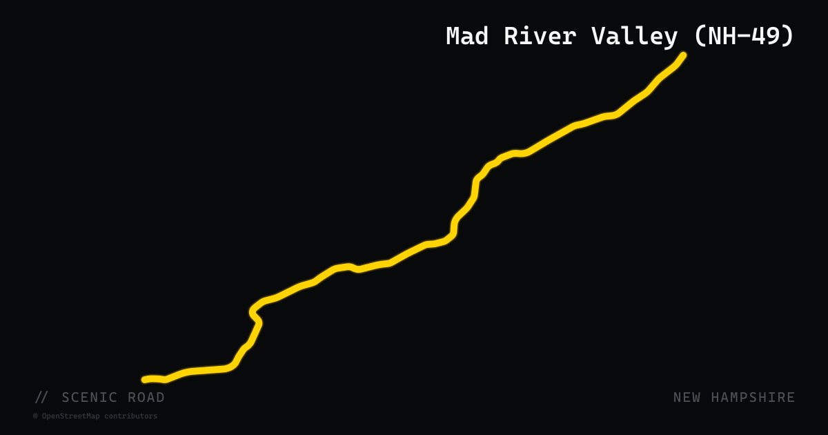
scenic road · new hampshire
Mad River Valley (NH-49)
New Hampshire Route 49 runs 11 miles from West Campton into Waterville Valley, climbing steadily through White Mountain National Forest alongside the Mad River. The road is a well-maintained, wide-shouldered two-lane with rolling sweepers — the ski resort at the terminus keeps the pavement in excellent condition. Pullouts along the way offer views of the river, which runs swiftly with snowmelt through spring. The road dead-ends at Waterville Valley's alpine village (restaurants, lodging), making it a natural out-and-back or a loop via Tripoli Road for adventure-capable bikes. Paired with I-93 south and NH-175 north, it forms a compact White Mountains sampler loop.
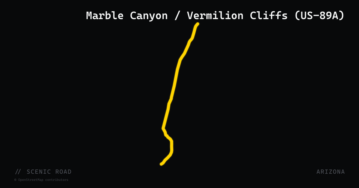
scenic road · arizona
Marble Canyon / Vermilion Cliffs (US-89A)
US Route 89A through the Arizona Strip runs roughly 60 miles from Bitter Springs north to Jacob Lake, crossing the Colorado River at Navajo Bridge in Marble Canyon — one of the most dramatic bridge crossings in the American West. The Navajo Bridge sits 467 feet above the river gorge; there are two spans side by side (1929 historic pedestrian bridge and the 1995 vehicle crossing), both open to visitors. The corridor follows the base of the Vermilion Cliffs — 3,000-foot-tall bands of red and orange sandstone — through open high desert with minimal traffic. The road is the logical connection from Page and Lake Powell down to Jacob Lake and SR-67 for North Rim runs, forming part of a classic northern Arizona loop.
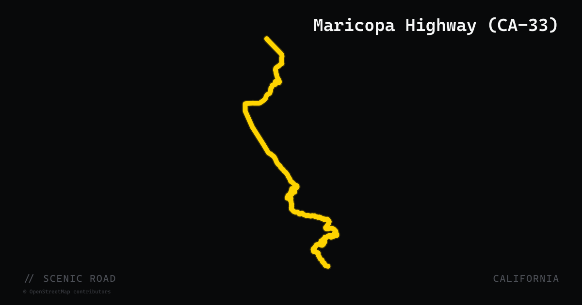
scenic road · california
Maricopa Highway (CA-33)
CA-33 between Ojai and Maricopa climbs immediately out of the Ojai Valley through Wheeler Gorge — a narrow canyon of twisted sedimentary rock layers with hand-blasted road tunnels — before cresting the spine of Pine Mountain at roughly 5,000 feet in Los Padres National Forest. The summit reveals a dramatic transition: lush Ojai canyons give way to the vast, high-desert Cuyama Valley stretching north. The road blends technical mountain switchbacks with fast ridgeline straights across an 80-mile stretch designated as the Jacinto Reyes National Forest Scenic Byway through its Ojai-to-Maricopa segment. Gas is available in Ojai and Maricopa; there are no services in between.
scenic road · oregon
McKenzie Pass / Old McKenzie Highway (OR-242)
OR-242 winds from McKenzie Bridge to Sisters over a 5,325-foot summit through a dramatic 2,000-year-old lava field on a narrow historic road open only from mid-June through mid-November.
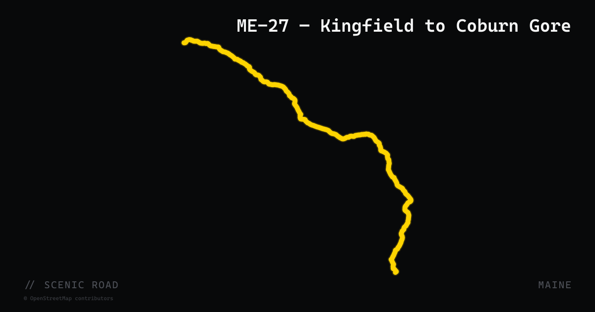
scenic road · maine
ME-27 — Kingfield to Coburn Gore
The northern 67-mile section of Maine State Route 27 from Kingfield to the Coburn Gore–Woburn border crossing into Quebec. The road winds along the Carrabassett River with views of Mount Abraham and the Bigelow Range before reaching Stratton and Eustis, then passes Flagstaff Lake and Cathedral Pines — Maine's largest stand of old-growth forest, covering 220 acres of 200-year-old red pines. North of Eustis the road narrows into a pine tunnel and traces the Chain of Ponds through true wilderness before reaching the border. The route follows portions of Benedict Arnold's 1775 expedition route to Quebec. Sugarloaf Mountain ski area sits just off the road near Carrabassett Valley.

scenic road · maine
ME-9 — The Airline
The eastern section of Maine State Route 9 from Bangor to Calais — known since the 1850s as 'The Airline' for being the shortest overland route between the two cities, saving roughly 60 miles over coastal US-1. The road cuts through one of the most remote stretches of pavement in the Northeast: Hancock and Washington counties' unbroken boreal forest, with long sweeping curves, minimal services, and almost no traffic. The isolation is genuine — cell coverage disappears for extended stretches. Communities en route include Clifton, Aurora, Beddington, Wesley, Crawford, and Alexander. Fuel up before departing Bangor; the next reliable pump is well into Washington County.
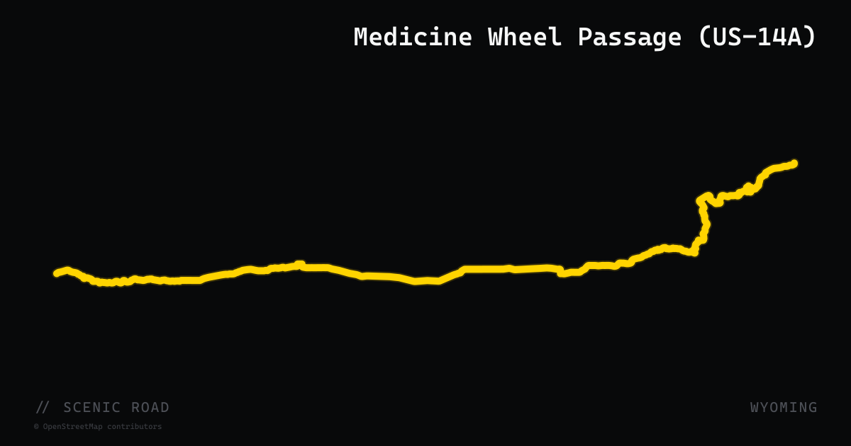
scenic road · wyoming
Medicine Wheel Passage (US-14A)
A 27-mile designated National Scenic Byway along US-14A, the northernmost route across the Bighorn National Forest. The road climbs a steep 10% grade from Lovell on the Big Horn Basin floor to Burgess Junction at over 8,000 ft, with sustained switchbacks, truck turnoffs, and panoramic views of the Absaroka Mountains. Named for the 800-year-old Medicine Wheel National Historic Landmark near the summit.
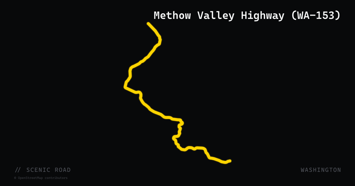
scenic road · washington
Methow Valley Highway (WA-153)
WA-153 (Methow Valley Highway) runs 31 miles northwest from Pateros — at the confluence of the Methow and Columbia rivers — to Twisp, paralleling the Methow River through a transition from high-desert shrub-steppe into ponderosa pine and Douglas fir. Part of the 440-mile Cascade Loop, it connects US-97 south to WA-20 north through one of eastern Washington's most scenic river valleys. The road is two-lane, unsignalized, and carries light traffic; the Methow River is visible for much of the route. Best combined with WA-20 westbound for a full Cascades circuit.
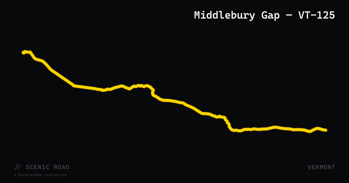
scenic road · vermont
Middlebury Gap — VT-125
Vermont Route 125, officially signed as Scenic VT-125, crosses Middlebury Gap at 2,144 feet in the Green Mountains, running 35 miles east-west between VT-17 in Addison and VT-100 in Hancock. The mountain section between Ripton and Hancock winds along the Middlebury River through the Green Mountain National Forest, with the Breadloaf Wilderness to the north and Middlebury College Snow Bowl near the summit. Established as a Vermont State Scenic Road in 1987, the road was designated under the Vermont Scenic Roads Law. Robert Frost spent summers in Ripton along this corridor — the Robert Frost Interpretive Trail is directly on VT-125. The eastern descent into Hancock intersects VT-100 for immediate connection to the northern spine.
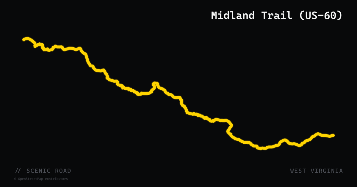
scenic road · west virginia
Midland Trail (US-60)
US-60, designated the Midland Trail National Scenic Byway, crosses West Virginia for 117 miles from Kenova (Kentucky border) east through Charleston to White Sulphur Springs (Virginia border). The route combines Kanawha River valley riding with dramatic mountain terrain: the section through the New River Gorge area delivers hairpin after hairpin with views of Cathedral Falls, Kanawha Falls, and Hawks Nest State Park directly off the roadway. A well-documented motorcycle destination featured in Rider Magazine, it alternates between gentle river stretches and technical Appalachian switchbacks.
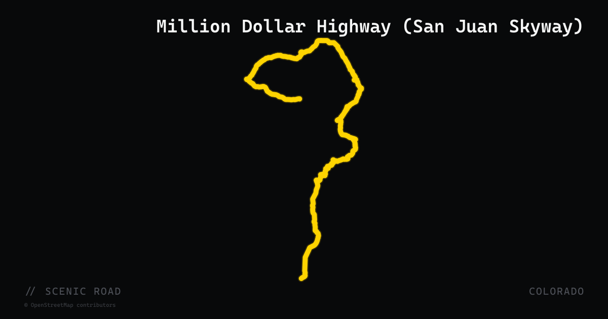
scenic road · colorado
Million Dollar Highway (San Juan Skyway)
The 25-mile Ouray-to-Silverton run of US-550 — no guardrails, mining-camp hairpins over Red Mountain Pass, and the centerpiece of the San Juan Skyway scenic byway loop.
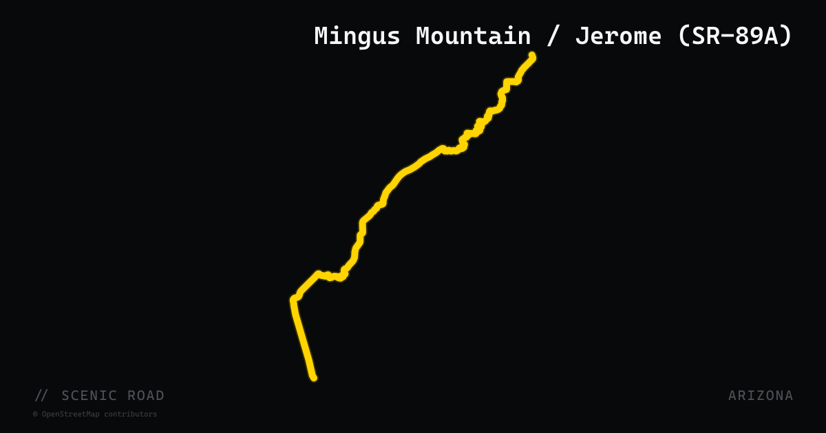
scenic road · arizona
Mingus Mountain / Jerome (SR-89A)
The Mingus Mountain section of SR-89A runs approximately 35 miles between Prescott and Jerome, climbing over the Black Hills to a summit at 7,743 feet before a dramatic descent into the Verde Valley historic mining town of Jerome. ADOT designates this stretch as the Mingus Mountain Scenic Road. The climb from Prescott packs over 127 turns into 12 miles, with hairpins, constant-radius corners, and sweeping canyon views. The road drops into Jerome — a former mining boomtown perched on Cleopatra Hill at 5,246 feet — before continuing northeast through the Verde Valley. Geographically separate from the Oak Creek Canyon section of SR-89A, this is an entirely different character of road through forest and mountain terrain.
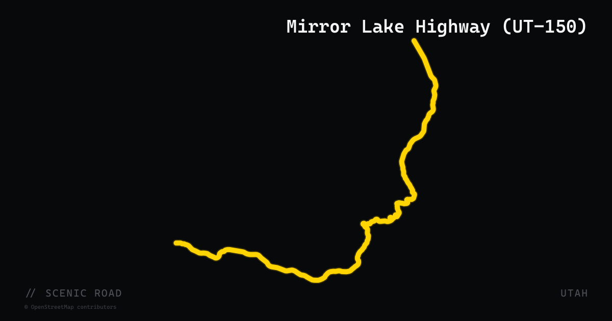
scenic road · utah
Mirror Lake Highway (UT-150)
Kamas, UT to Evanston, WY, ~42 mi UT portion (~78 mi total). **Highest paved road in Utah (Bald Mountain Pass, 10,715 ft)** through the Uintas. **Closed mid-December through mid/late May.**
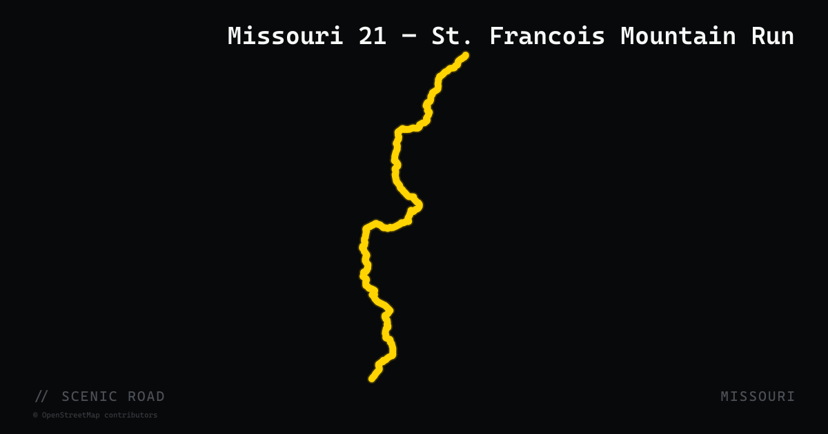
scenic road · missouri
Missouri 21 — St. Francois Mountain Run
Missouri Route 21 threads 61 miles of genuine hill-and-hollow Ozark riding from MO-141 in suburban St. Louis County south toward the Arkansas border. The road earns its reputation through the St. Francois Mountains corridor — one of the oldest exposed mountain ranges in North America — passing Elephant Rock State Park near Belleview, skirting Taum Sauk Mountain (Missouri's high point, accessible via MO-CC spur), and crossing repeated ridgelines in Iron and Reynolds counties. The pavement is well-maintained two-lane with steady curves and minimal truck traffic; riders frequently link it with MO-32 east of Potosi and MO-8 for multi-county Ozark loops. The section south of Hillsboro toward Potosi is the technical core of the route.
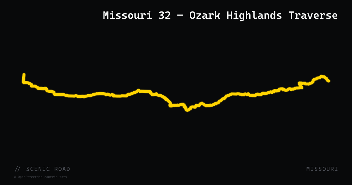
scenic road · missouri
Missouri 32 — Ozark Highlands Traverse
Missouri Route 32 stretches 285 miles east-to-west across Missouri, with its finest riding section east of Lebanon where the road becomes hilly and curvy through the heart of the Missouri Ozarks and Mark Twain National Forest. The pavement winds through Dent, Reynolds, and Iron counties — the same ancient granite-and-dolomite landscape that makes MO-21 popular — and riders frequently combine the two highways for a longer Ozark loop via Potosi. Motorcycle route guides from ozarkrides.com list MO-32, MO-P, and MO-DD as a recommended connector sequence for extending MO-21 runs. The route is original 1922 Missouri highway alignment.
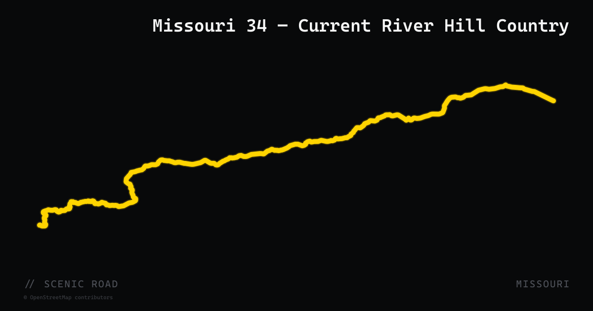
scenic road · missouri
Missouri 34 — Current River Hill Country
Missouri Route 34 covers 88 miles of southeastern Ozark hill country from Van Buren on the Current River east to Jackson, passing through Carter, Reynolds, Wayne, and Bollinger counties with steady curves and rolling terrain throughout. The western end near Van Buren connects directly with the MO-103/Big Spring corridor and the Ozark National Scenic Riverways, making it a natural extension of southeastern Missouri Ozark loops. Near Ellington the road intersects MO-21, and east of Piedmont it approaches Sam A. Baker State Park via MO-143. The route is one of Missouri's original 1922 highways, traversing sparsely populated Ozark backcountry with minimal commercial traffic.
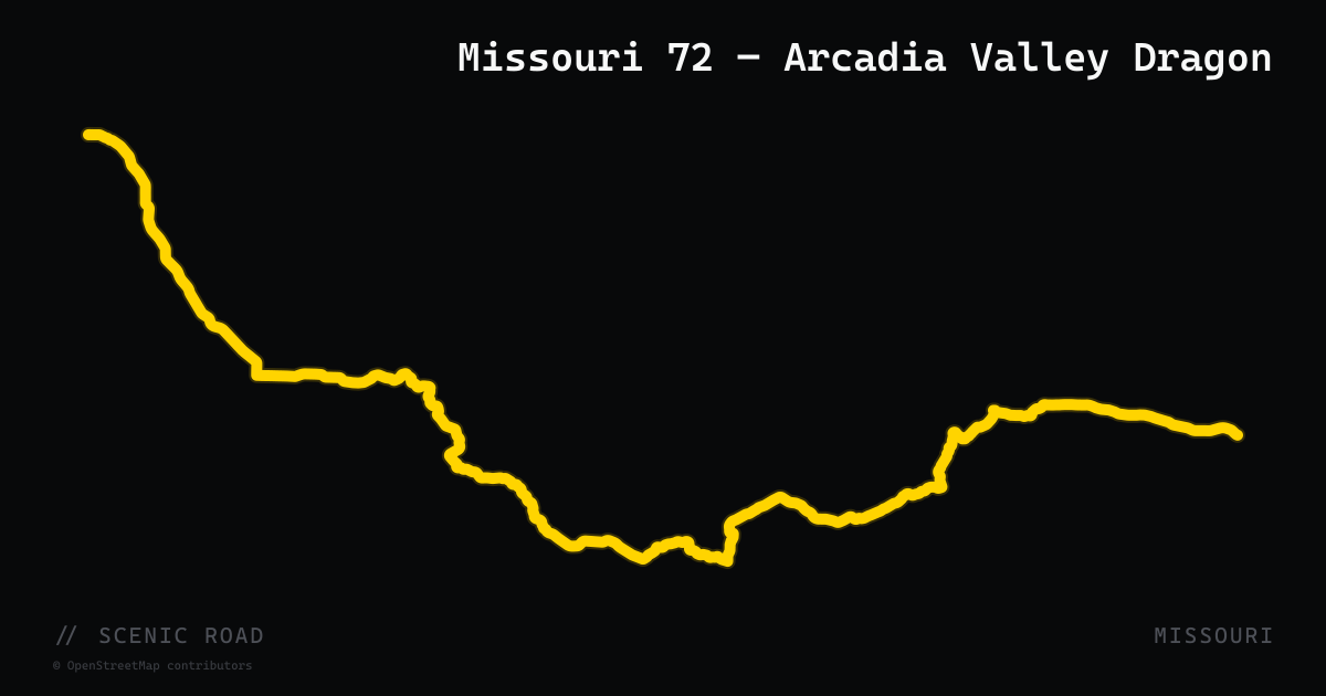
scenic road · missouri
Missouri 72 — Arcadia Valley Dragon
Missouri Route 72 runs 165 miles from Rolla east to Jackson, with its most celebrated motorcycle segment threading the Arcadia Valley between Ironton and Fredericktown in the St. Francois Mountains. OzarkRides.com describes the canopied two-lane as 'Dragon-like' — tight curves under a tree canopy similar in character to the Tail of the Dragon in Tennessee. The road crosses back and forth between Iron and Madison counties repeatedly, passes through Arcadia and Pilot Knob (site of a significant Civil War engagement), and intersects MO-21 at multiple points, enabling easy loop combinations. The original 1922 highway routing through this valley is little-changed.
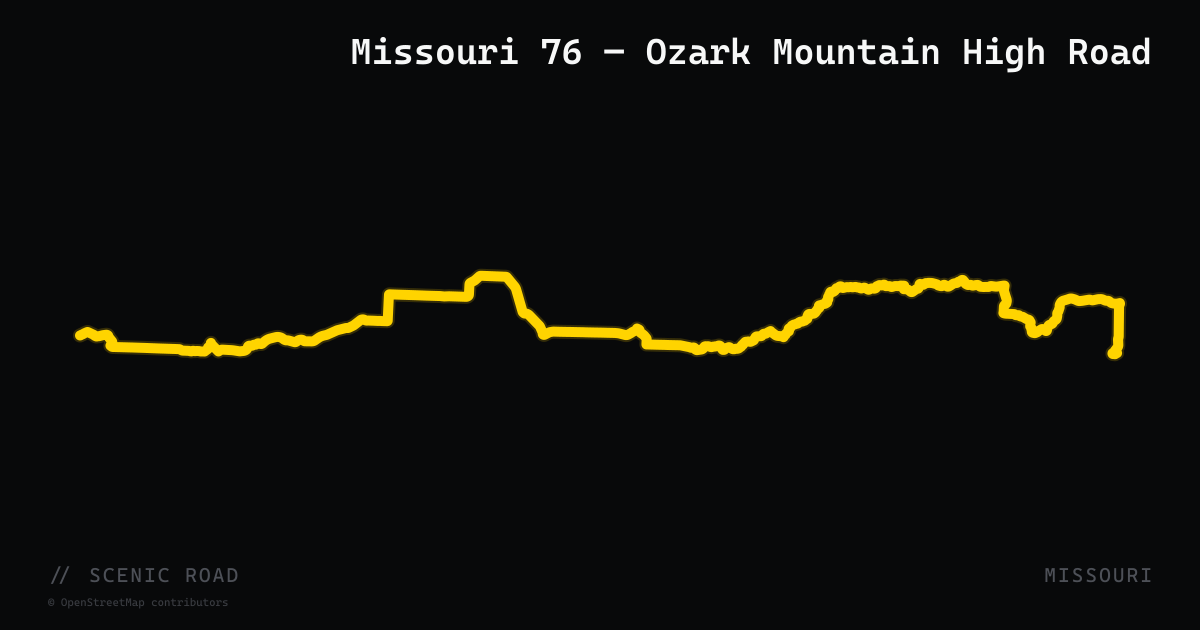
scenic road · missouri
Missouri 76 — Ozark Mountain High Road
Missouri Route 76 covers 210 miles of the southern Ozarks from Willow Springs west through Branson to Tiff City near the Oklahoma border, running for its entirety through hilly, curvy Ozark terrain. The route climbs repeatedly from river bottoms to ridge tops, crossing Bull Shoals Lake and Lake Taneycomo and skirting the Mark Twain National Forest in Taney and Stone counties. The Branson bypass (rerouted onto US-65 and the Ozark Mountain High Road freeway in 2020) keeps through-riders off the crowded 76 Country Boulevard strip; west of Branson the road quiets considerably through Forsyth and Ava into Cassville. VisitMissouri describes it as resembling 'the ups and downs and twists and turns of rollercoasters' through the Ozark Mountains.
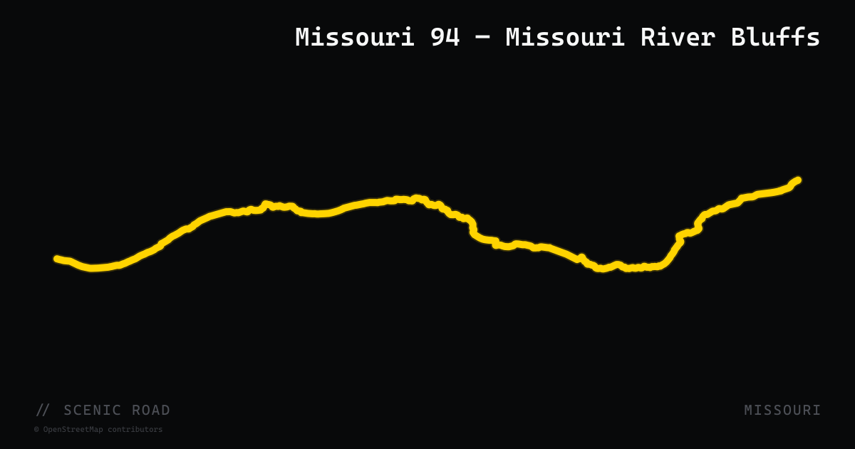
scenic road · missouri
Missouri 94 — Missouri River Bluffs
Missouri Route 94 runs approximately 102 miles from Weldon Spring west of St. Louis to Jefferson City along the south bank of the Missouri River, delivering one of the most varied motorcycle corridors in the state. The road alternates between tight ridge-top twisties — with bluffs rising 400 feet above the river — and fast valley sweepers in the floodplain below. The historically German town of Hermann (mile ~90 from Weldon Spring) anchors the middle of the route with wineries, river views, and food options. Rider Magazine rated the Weldon Spring-to-Jefferson City run as a standout Missouri day trip, citing both the hill sections near Portland and the vineyard-draped river valley east of Hermann. The route is paved state highway throughout.
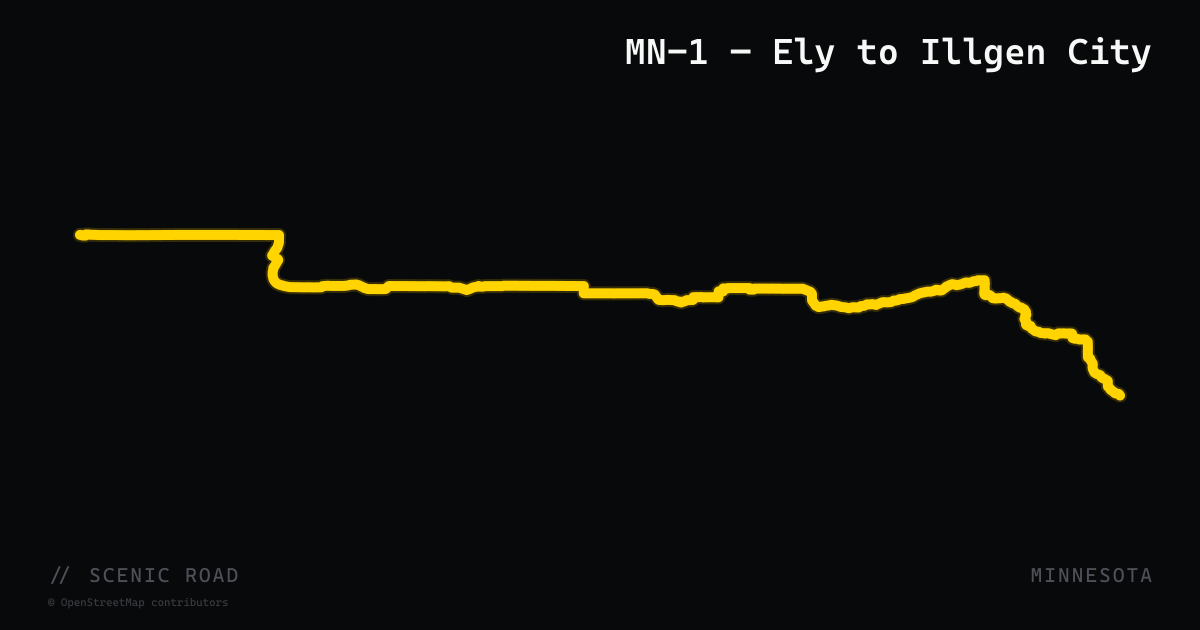
scenic road · minnesota
MN-1 — Ely to Illgen City
The 61-mile stretch of MN-1 from Ely down to Illgen City on the North Shore is Minnesota's most technical pavement, with sustained corners through Superior National Forest and tunnels of fall color in late September. Services between Ely and the shore are nearly nonexistent, so fuel up first.
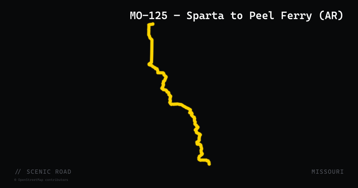
scenic road · missouri
MO-125 — Sparta to Peel Ferry (AR)
53 mi. Possibly the best ride in southern Missouri; endless hills and twisties. **Fuel up in Sparta or Chadwick — no fuel for 75 mi.**
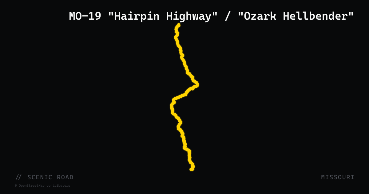
scenic road · missouri
MO-19 "Hairpin Highway" / "Ozark Hellbender"
Hermann to Winona, 262 mi (best Salem–Eminence section ~70 mi). Built by 1930s hand crews along ridgelines — steep drop-offs, banked corners, Mark Twain NF. One of the most famous motorcycle roads in the Midwest.
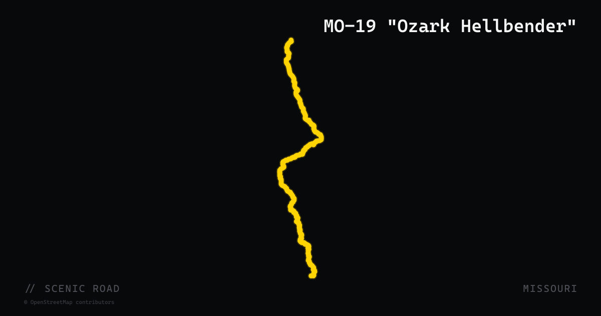
scenic road · missouri
MO-19 "Ozark Hellbender"
Built by 1930s hand crews along Ozark ridgelines, MO-19 between Hermann and Winona is one of the Midwest's best-known motorcycle roads, with the Salem-to-Eminence-to-Winona stretch carrying the "Ozark Hellbender" reputation.
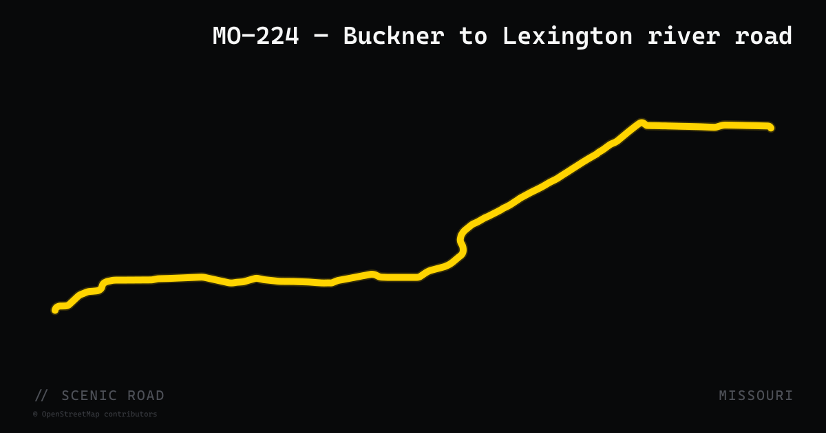
scenic road · missouri
MO-224 — Napoleon to Lexington River Road
Fifteen easy miles of two-lane along the Missouri River bottoms between Napoleon and historic Lexington — relaxed sweepers under the bluffs, no traffic to speak of, and the Kansas City area's default after-work motorcycle road.
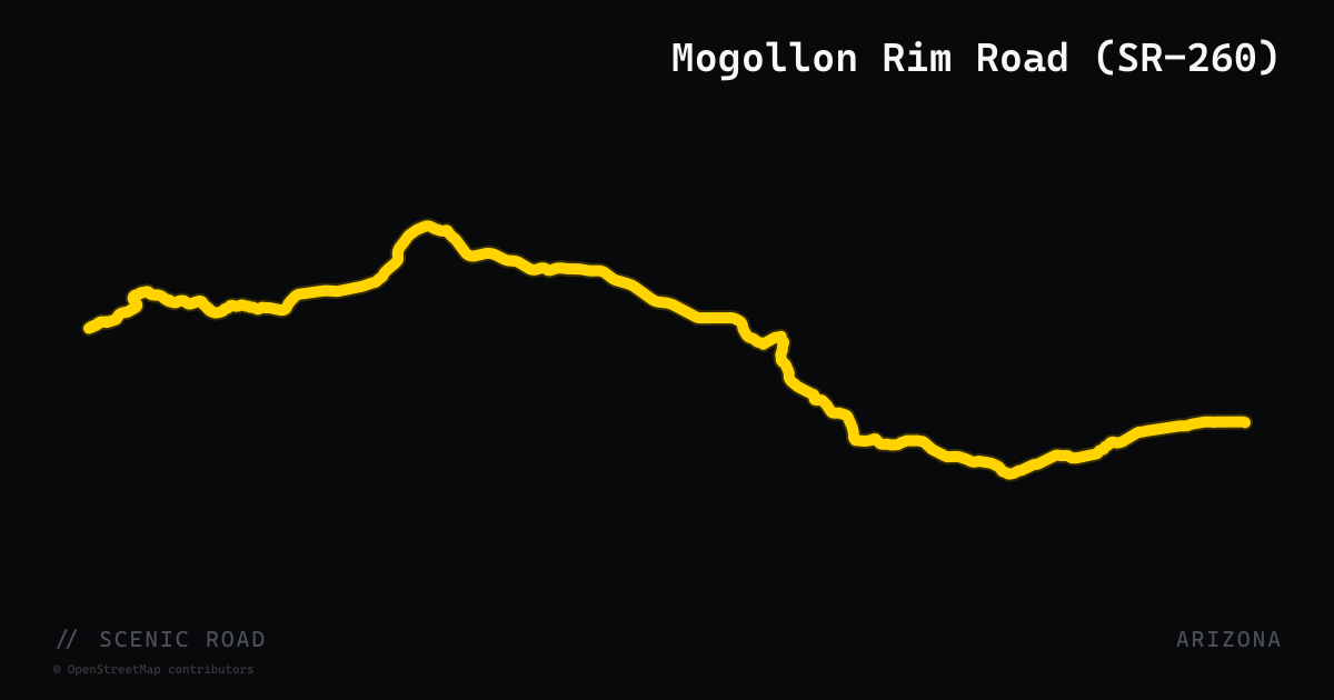
scenic road · arizona
Mogollon Rim Road (SR-260)
Arizona State Route 260 runs 218 miles east–west across the state from Cottonwood to Eagar, with the most celebrated motorcycle section traversing the Mogollon Rim between Christopher Creek (east of Payson) and Show Low. This stretch follows the base and top of the Mogollon Rim through the world's largest contiguous stand of ponderosa pine — a tree-lined corridor at 6,000–7,500 feet elevation alternating between sweeping open curves and dense forested tunnels. ADOT designates it as both the Zane Grey Highway and the White Mountain Scenic Road. The road delivers a gentler, more flowing character than Arizona's hairpin-heavy routes — long radius bends, comfortable sight lines, and mountain lakes (Woods Canyon, Willow Springs) as side destinations.
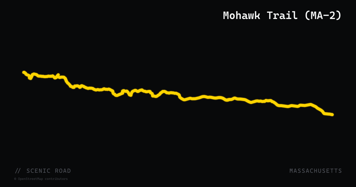
scenic road · massachusetts
Mohawk Trail (MA-2)
A 63-mile east-west corridor on Route 2 from the New York state line to Millers Falls, widely recognized as one of New England's great motorcycle roads. The 35-mile western section between North Adams and Greenfield is the highlight: the road climbs out of North Adams through dense Berkshire hardwood forest, crests the high ridge above the famous Hairpin Turn at 1,700 feet, then descends along the Deerfield River through Charlemont and Shelburne Falls. Designated one of the nation's first scenic highways in 1914. Traffic is manageable except on fall foliage weekends.
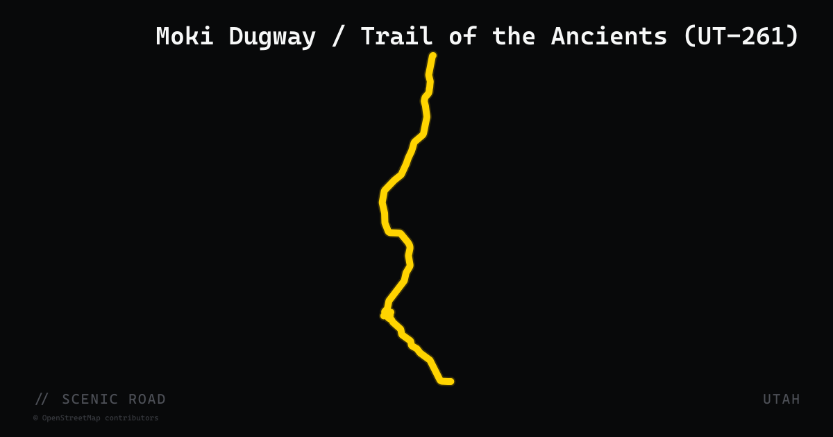
scenic road · utah
Moki Dugway / Trail of the Ancients (UT-261)
34-mile state highway from US-163 north of Mexican Hat to UT-95 near Natural Bridges National Monument, forming the Utah segment of the Trail of the Ancients National Scenic Byway. The lower and upper sections are paved; the centerpiece 3-mile Moki Dugway is unpaved graded switchbacks with an 11% grade climbing 1,200 feet onto Cedar Mesa. The Dugway was originally cut in 1958 by a uranium mining company. The summit parking area at the top of the switchbacks offers panoramic views of Valley of the Gods, Sleeping Ute Mountain (Colorado), and Shiprock (New Mexico). Motorcycles with road tires can ride the Dugway in dry conditions; avoid after rain.
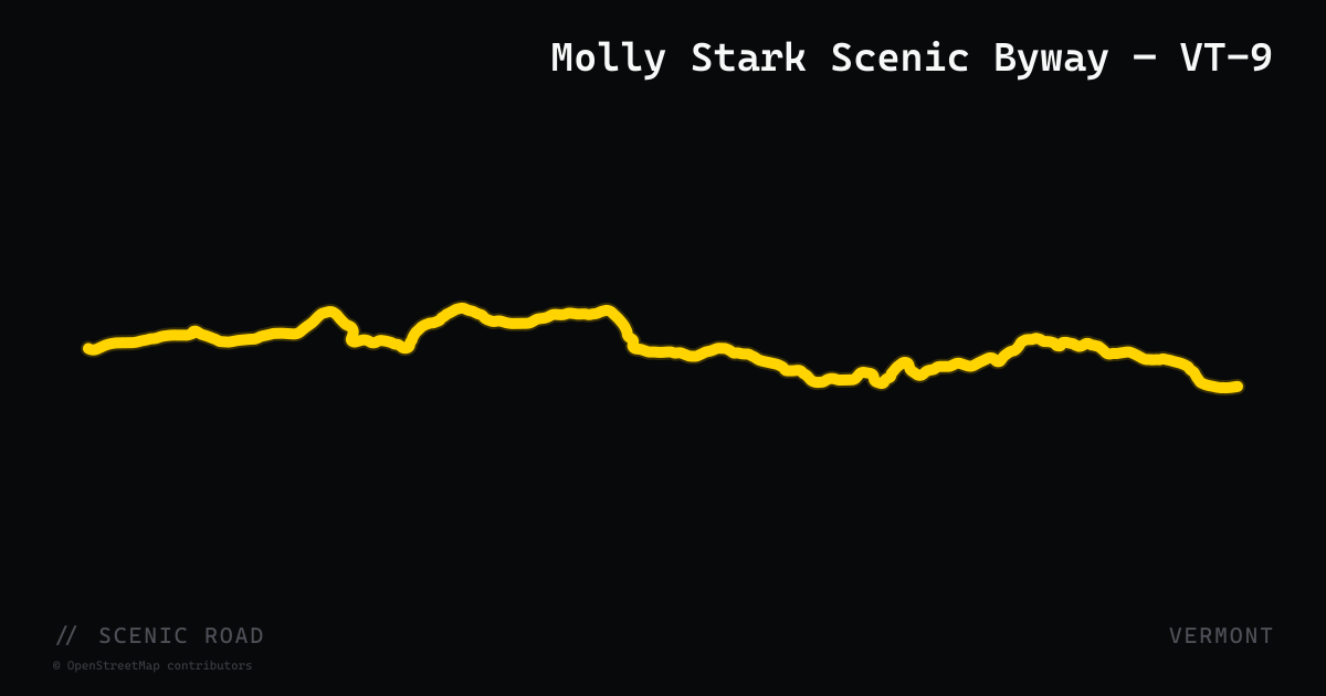
scenic road · vermont
Molly Stark Scenic Byway — VT-9
Vermont Route 9, designated the Molly Stark Scenic Byway, runs 40 miles east-west across southern Vermont from Brattleboro on the Connecticut River to Bennington near the New York border. The road climbs through the Green Mountain National Forest, cresting near Hogback Mountain at roughly 2,400 feet with a 100-mile, three-state panorama, then descends through Wilmington into the valley. The route includes winding curves following river corridors, forested switchbacks with grade changes, and the highest village in Vermont (Woodford, at 2,215 feet). It is one of Vermont's two official All-American Roads and has been fully state-designated as a Scenic Byway.
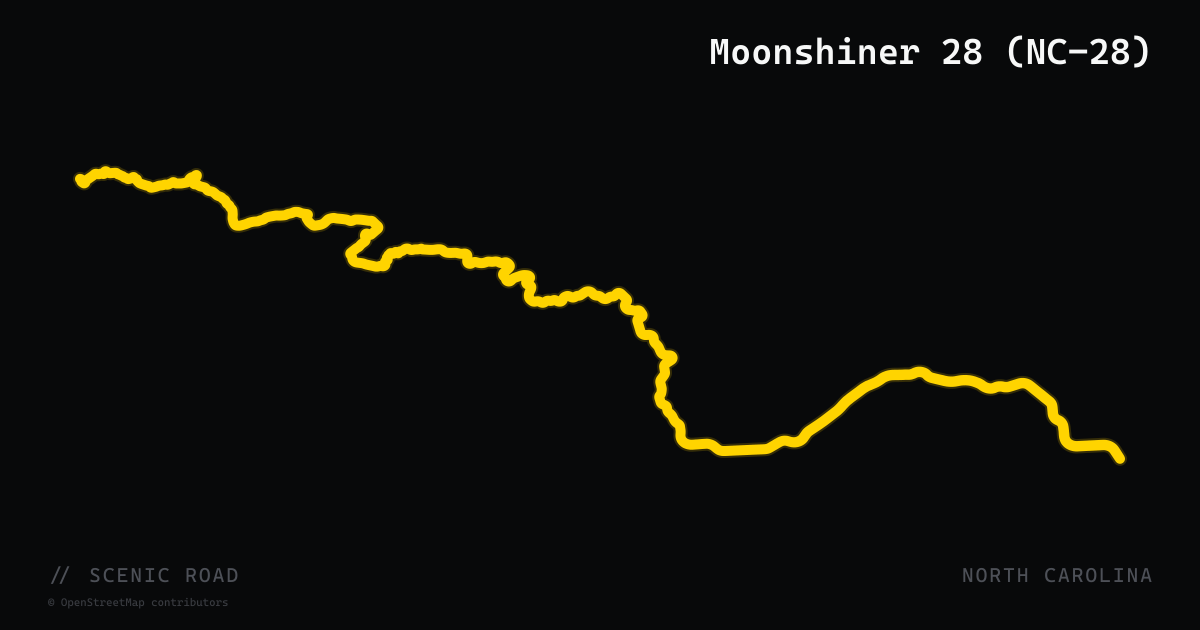
scenic road · north carolina
Moonshiner 28 (NC-28)
North Carolina Highway 28 — nicknamed Moonshiner 28 for its history as a bootlegger escape route — runs 81 miles from Deals Gap south through the Nantahala National Forest to the Georgia state line, serving as one of the most varied and atmospheric motorcycle roads in the Southeast. Departing the Tail of the Dragon's southern terminus, it immediately dives into deep forest and curves around the southern shore of Fontana Lake before threading through the Little Tennessee River valley and the Cullasaja River Gorge, where Dry Falls, Bridal Veil Falls, and Cullasaja Falls all drop from roadside cliffs. The road is longer and more leisurely than the Dragon, blending tight river-hugging curves with open valley stretches, and sees a fraction of the Dragon's weekend crowds. The Mountain Waters Scenic Byway and Fontana Byway both overlap the route, and a stop at the top of Fontana Dam is a standard mid-ride punctuation.
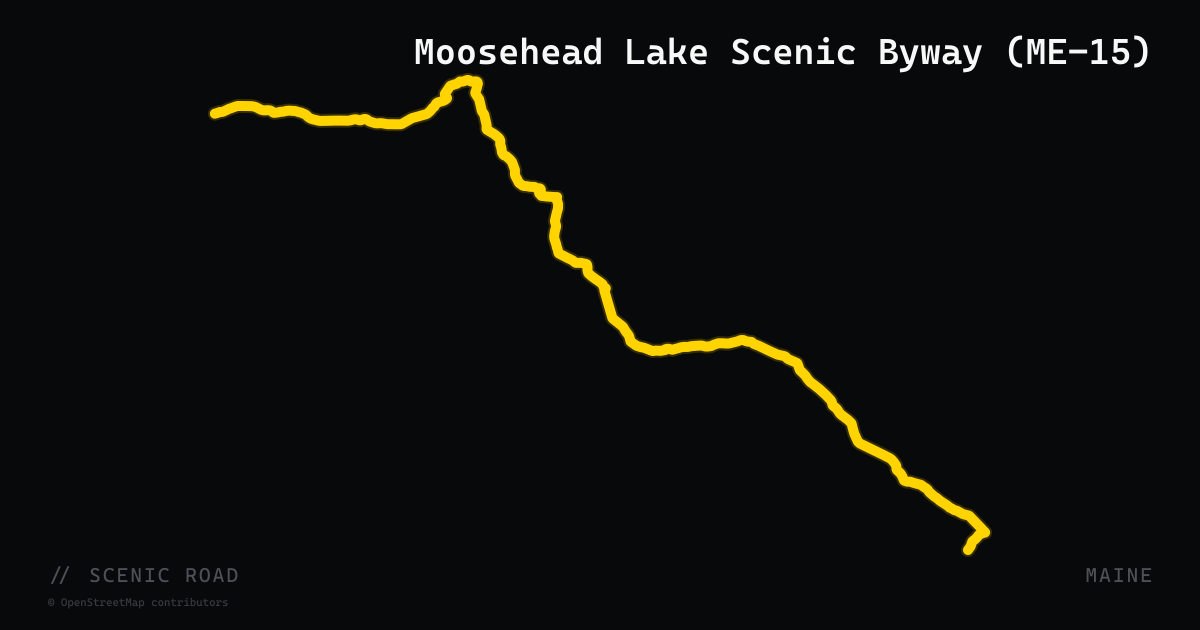
scenic road · maine
Moosehead Lake Scenic Byway (ME-15)
A 59-mile Maine Scenic Byway running along ME-15 from Greenville north to Jackman through the Kennebec and Moose River valleys. The route passes through Rockwood with direct views of Mount Kineo rising from Moosehead Lake — Maine's largest lake — and continues alongside Brassua Lake and the Moose River before arriving in Jackman near the Canadian border. The road carries minimal traffic and passes through genuine wilderness; moose sightings are common, especially in the northern section near the Chain of Ponds. The byway connects with US-201 at Jackman, enabling a natural loop combining both routes.
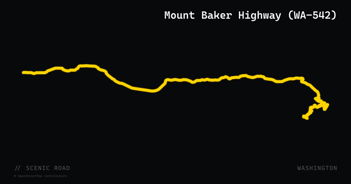
scenic road · washington
Mount Baker Highway (WA-542)
WA-542 runs 57 miles east from Bellingham along the North Fork Nooksack River to Artist Point at 5,140 feet, with Baker and Mt. Shuksan both visible from the terminus parking area. The lower two-thirds delivers sweeping river-canyon curves through the Nooksack valley; the upper section climbs steeply with challenging hairpins before the pavement ends at Austin Pass/Artist Point. Designated the Mount Baker Scenic Byway, it is open seasonally — Artist Point typically opens in late July when the snow clears, and closes by October.
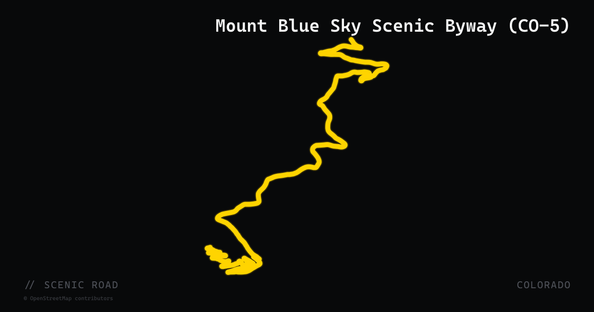
scenic road · colorado
Mount Blue Sky Scenic Byway (CO-5)
Colorado State Highway 5 climbs 7,000 feet in 28 miles from Idaho Springs to the 14,130-foot summit of Mount Blue Sky (formerly Mount Evans), making it the highest paved road in North America. The route begins at Echo Lake (elevation 10,600 ft) at its junction with SH-103 and winds through alpine tundra past Summit Lake to the rocky summit plateau. No vehicle over 30 feet is recommended. A timed-entry reservation system is in place for the upper section (Echo Lake to summit). The road is closed seasonally from roughly Labor Day to Memorial Day.
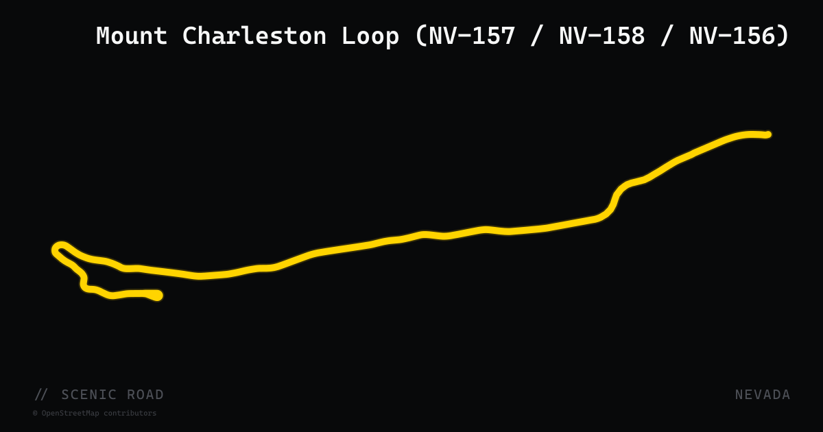
scenic road · nevada
Mount Charleston Loop (NV-157 / NV-158 / NV-156)
The Mount Charleston Loop links three Nevada state routes — NV-157 (Kyle Canyon Road), NV-158 (Deer Creek Road), and NV-156 (Lee Canyon Road) — into a 60-mile circuit climbing from the Las Vegas Valley floor into the Spring Mountains National Recreation Area. NV-157 ascends 17 miles from US-95 to 7,700 feet in Kyle Canyon, where pine and fir replace Mojave desert scrub and temperatures run 20–30°F cooler than the Strip. NV-158 traverses the ridge between the two canyons at the highest elevations on the loop with tight switchbacks and mountain views. NV-156 descends through Lee Canyon to another US-95 interchange. The loop is well-maintained asphalt with light weekday traffic and is the closest alpine riding to Las Vegas.
scenic road · arkansas
Mount Magazine Scenic Byway (AR-309)
~20 mi USFS segment climbing to Mount Magazine, Arkansas's highest point at 2,753 ft. Sharp curves and hairpin switchbacks on both the ascent and descent; a natural Ozark–Ouachita connector. <!-- blog-discovered 2026-06-13; source: https://www.recreation.gov/camping/gateways/13766 -->
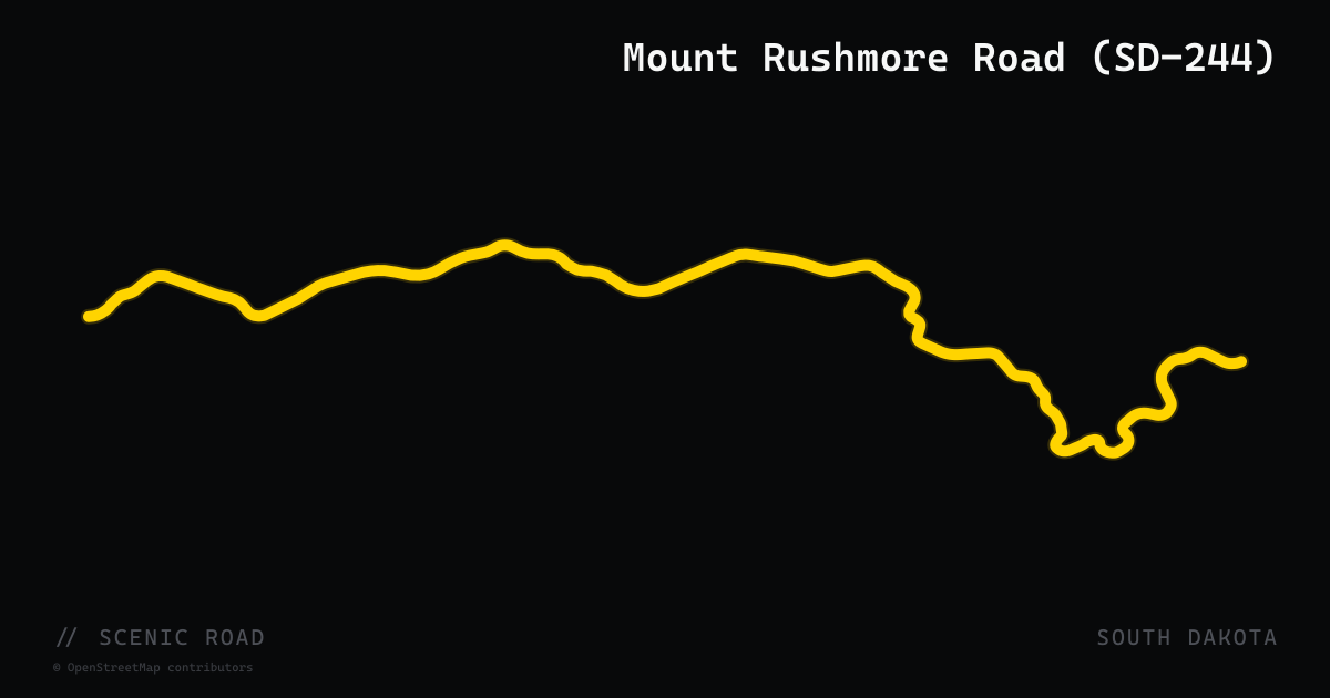
scenic road · south dakota
Mount Rushmore Road (SD-244)
A 10.5-mile state highway in Pennington County connecting US-16/US-385 south of Hill City eastward to US-16A near Keystone, winding through Black Hills National Forest past Summit Peak and Old Baldy Mountain before entering Mount Rushmore National Monument. The entire route is part of the Peter Norbeck National Scenic Byway, offering forested mountain riding with a Mount Rushmore profile view from the roadside pullout — distinct from the Iron Mountain Road approach via US-16A.
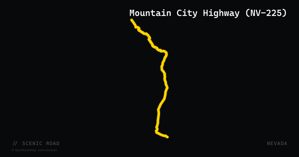
scenic road · nevada
Mountain City Highway (NV-225)
Nevada State Route 225 runs 100 miles north from Elko on Interstate 80 to the Idaho border at Owyhee, officially known as the Mountain City Highway. The route climbs over Adobe Summit in the Adobe Range, then descends to Wild Horse Reservoir — a sky-blue lake ringed by sage hills — before entering the narrow, winding Owyhee River Canyon north of Mountain City. The canyon section features the road tracing the river's curves through high basalt walls and cottonwood-lined banks in genuine high-desert isolation. Traffic is light throughout; the canyon north of Mountain City is the technical highlight, with tight river-following bends and minimal guardrails. Services are minimal beyond Elko and Mountain City.
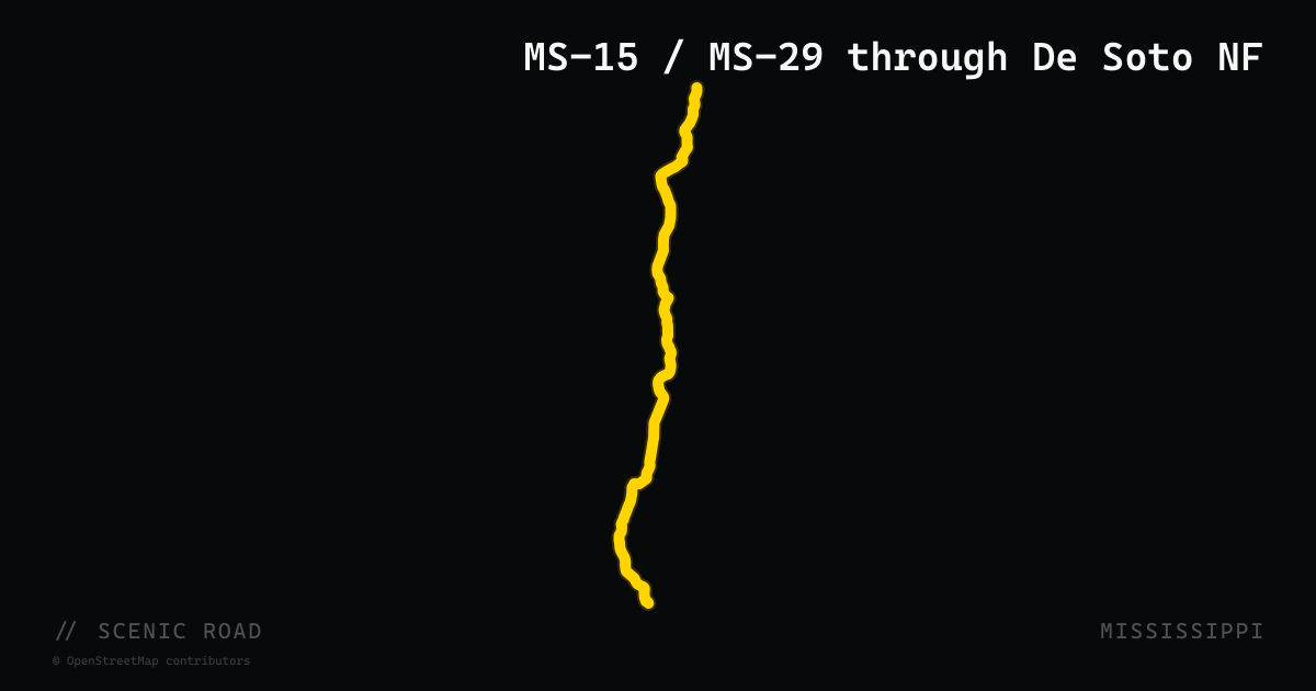
scenic road · mississippi
MS-15 / MS-29 through De Soto NF
~33–45 mi. Pine forests and rolling hills; pair with Red Bluff ("Mississippi's Grand Canyon").
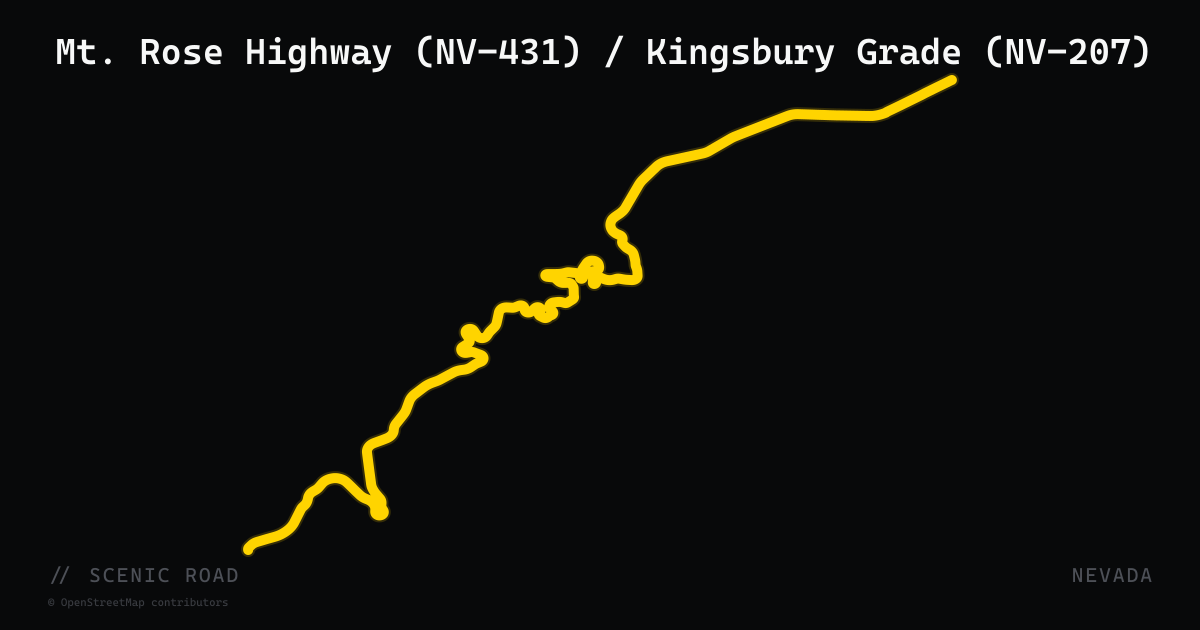
scenic road · nevada
Mt. Rose Highway (NV-431) / Kingsbury Grade (NV-207)
NV-431 climbs to ~8,900 ft with tight twisties; Kingsbury Grade drops ~3,000 ft via switchbacks. Locals warn NV-431 is "definitely not for beginner motorcyclists." Year-round but snow/ice at higher elevations.
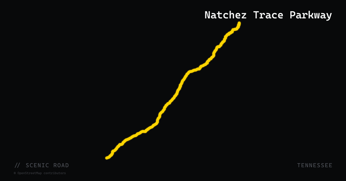
scenic road · tennessee
Natchez Trace Parkway
444 miles of NPS parkway from Natchez, MS to Nashville, TN — no commercial traffic, 50 mph limit, and the smoothest two-lane in the South.
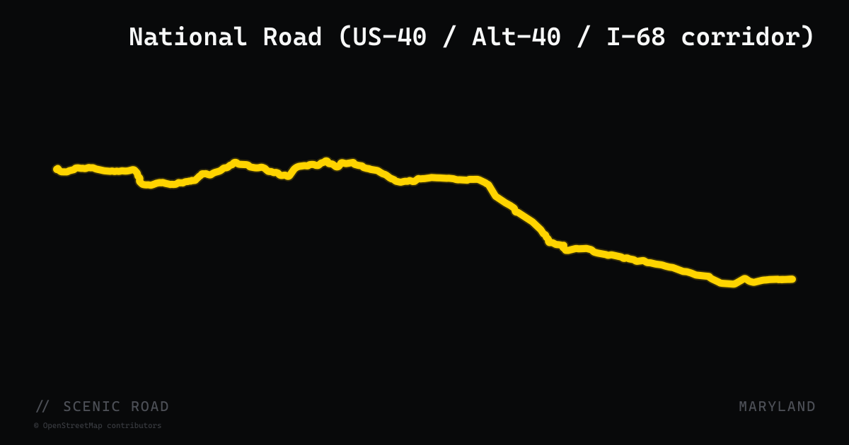
scenic road · maryland
National Road (US-40 / Alt-40 / I-68 corridor)
Hancock to Keysers Ridge, ~69 mi. America's first federally funded highway; Sideling Hill cut, Casselman River Bridge, Allegheny Plateau views.
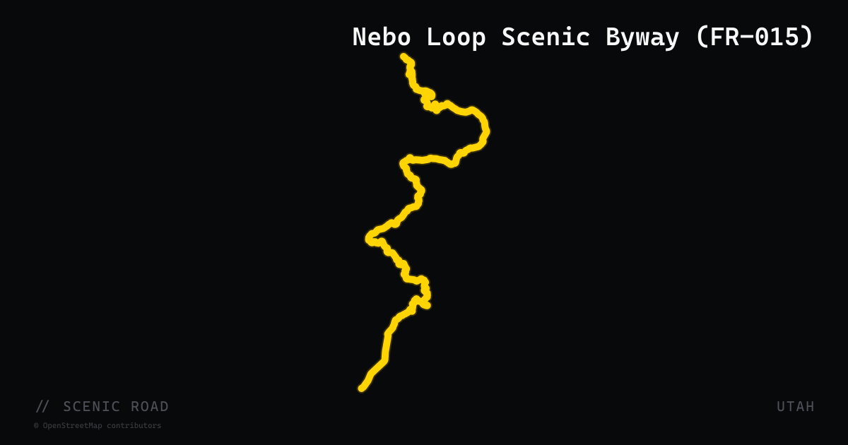
scenic road · utah
Nebo Loop Scenic Byway (FR-015)
38-mile forest road loop through the Uinta-Wasatch-Cache National Forest connecting Payson (north) and Nephi (south). The route climbs to over 9,000 feet with views of 11,928-foot Mount Nebo, the tallest peak in the Wasatch Range. Twisting switchbacks and elevation changes pass Devil's Kitchen Geologic Interest Site and Payson Lakes. Accessed from I-15 at Payson (Exit 248) or Nephi (Exit 225 via UT-132). Closed late October through June due to snow.
scenic road · south dakota
Needles Highway (SD-87)
SD-87 threads through Custer State Park between granite "needle" spires, with sharp switchbacks and two very narrow single-lane tunnels — the Needles Eye Tunnel is just 8'0" wide, so check your handlebar and mirror clearance on a wide bike. The road is closed in winter, typically from late October or early November through April.
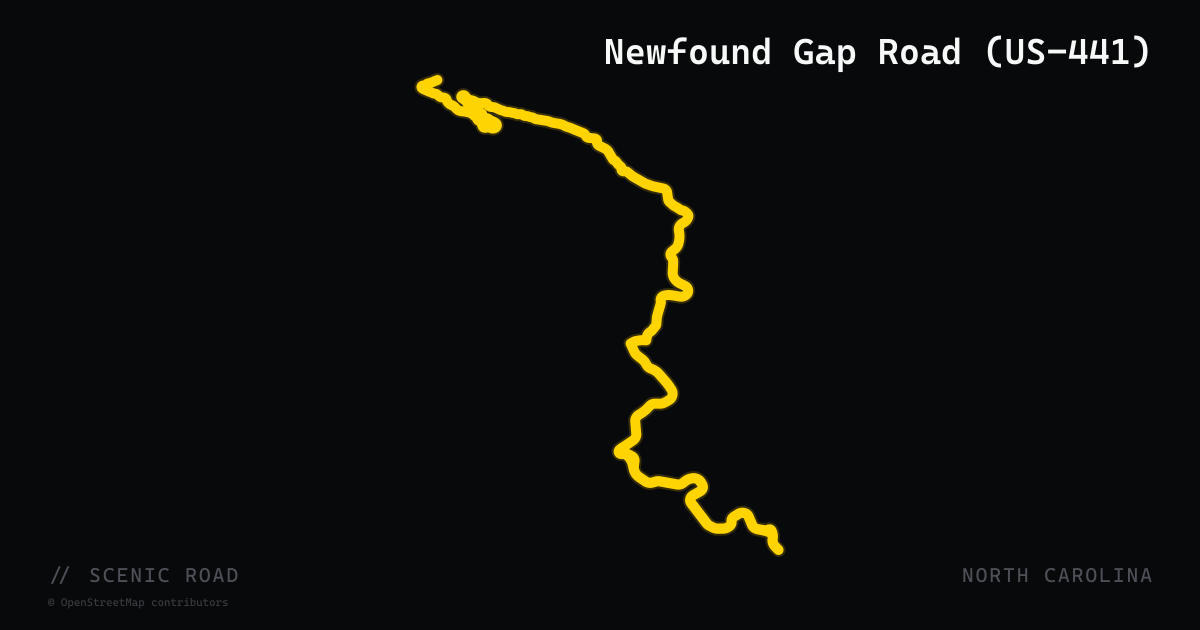
scenic road · north carolina
Newfound Gap Road (US-441)
US Highway 441 through Great Smoky Mountains National Park — known as Newfound Gap Road — is a 33-mile paved corridor connecting Cherokee, NC to Gatlinburg, TN over a 5,046-foot mountain pass, the only fully paved road that bisects the national park. The North Carolina half rises through dense mixed hardwood and hemlock forest before breaking above tree line at Newfound Gap, where an iconic stone overlook marks the Appalachian Trail crossing and the NC/TN state line. The road features sweeping curves, long elevation transitions, and multiple wildlife pulloffs where black bear and elk sightings are common. It is distinct from the Blue Ridge Parkway — the Parkway runs parallel to the east but does not enter the national park, while US-441 is the only route through the park's core. Early-morning weekday rides in spring and fall offer uncrowded, mist-shrouded conditions that rival any road in the East.
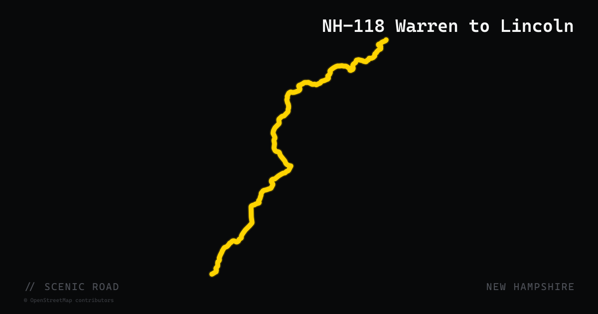
scenic road · new hampshire
NH-118 Warren to Lincoln
New Hampshire Route 118 is a 37-mile secondary highway connecting Woodstock in the White Mountains to Canaan in the Upper Valley, passing through Warren, Wentworth, Rumney, and Dorchester. The road traverses the western fringe of the White Mountain National Forest in almost continuous curves — tight turns, S-bends, and undulating crests carry riders through dense forest with occasional mountain views. Traffic is sparse compared to the major White Mountain corridors, and the road's rural character means little in the way of services between endpoints. Sections have historically had pavement inconsistencies but rider reports indicate ongoing improvement. Best ridden as a connector adding character to a White Mountains loop rather than as a standalone out-and-back.
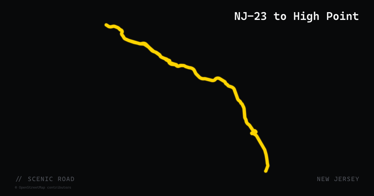
scenic road · new jersey
NJ-23 to High Point
The northern ~25-mile stretch of NJ Route 23 from Hamburg north through High Point State Park to the New York state line near Montague. The road climbs through the Kittatinny Mountains, crosses the Appalachian Trail ridge, and descends through densely forested terrain to NJ's highest point at 1,804 ft. The ascent and descent offer winding sections with mountain-road character uncommon for New Jersey. Total route length is 52.63 miles (Verona to NY line); the High Point segment is the scenic payoff.
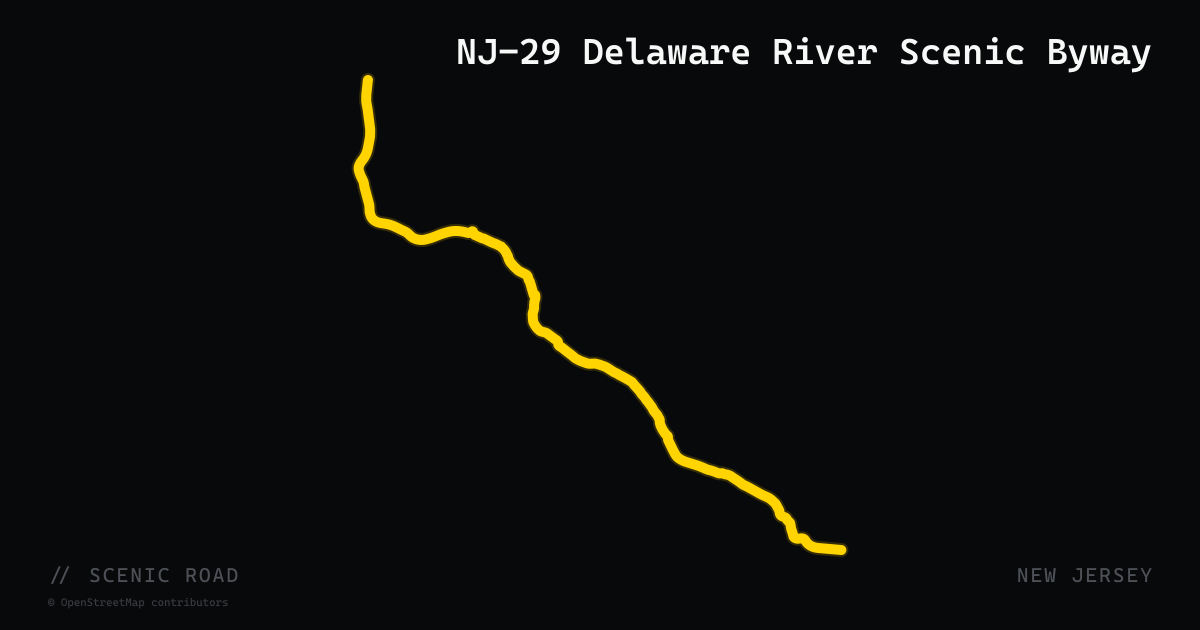
scenic road · new jersey
NJ-29 Delaware River Scenic Byway
NJ Route 29 runs 34.76 miles from Hamilton Township (Mercer County) north to Frenchtown (Hunterdon County), with the upper two-thirds — north of Trenton's South Trenton Tunnel — designated a National Scenic Byway (2009). This northern section is a two-lane rural highway running directly alongside the Delaware River, heavily shaded by tree canopy, with the obsolete Delaware and Raritan Canal towpath between road and river. Passes through Lambertville and ends in Frenchtown. Minimal traffic, constant river views, easy pacing.
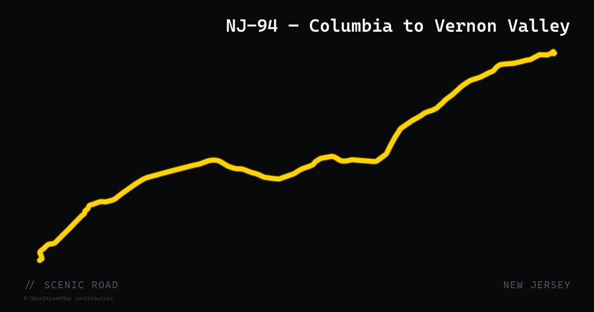
scenic road · new jersey
NJ-94 — Columbia to Vernon Valley
NJ Route 94 runs 45.9 miles from the Portland-Columbia Toll Bridge at the Pennsylvania border north to the New York state line near Vernon Township, passing through Warren and Sussex counties. The road traverses mountain and valley terrain, opening into the broad Vernon Valley (ringed by the Kittatinny Mountains and ski ridges) before becoming increasingly wooded northward. Wide-open, gentle turns through farmland south; more wooded and winding toward Vernon. Passes through Blairstown and Newton.
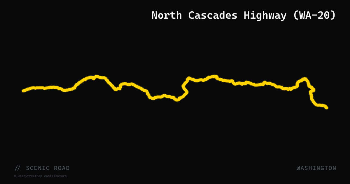
scenic road · washington
North Cascades Highway (WA-20)
Washington's WA-20 over the North Cascades — Diablo Lake's turquoise water, Washington Pass at 5,477 ft, and the wildest pass crossing in the Lower 48. The North Cascades stretch is mile 44-130 of the larger WA-20 chain imported here.
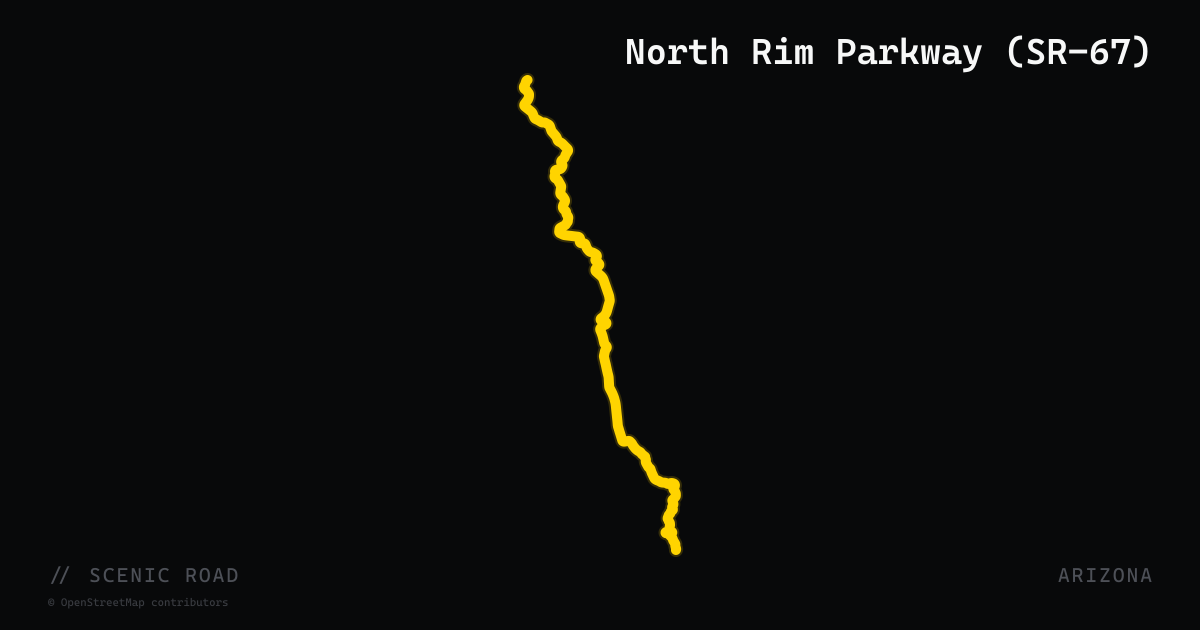
scenic road · arizona
North Rim Parkway (SR-67)
Arizona State Route 67, the Kaibab Plateau–North Rim Parkway, is the only paved road to Grand Canyon's North Rim — a 43-mile run south from Jacob Lake through Kaibab National Forest and into Grand Canyon National Park. The highway climbs from US-89A at Jacob Lake (7,921 feet) through dense mixed conifer forest before descending to the North Rim visitor complex at 8,241 feet. The road is an All-American Road and National Forest Scenic Byway. Open mid-May through mid-October only (closed in winter by snow). Traffic is lighter than the South Rim, and the road through the ponderosa and aspen forest is smooth and uncrowded — a rare quiet approach to one of the world's great canyon views.
scenic road · minnesota
North Shore Scenic Drive (MN-61)
An All-American Road running 154 miles along Lake Superior from Duluth to Grand Portage, with sweeping curves past Gooseberry Falls, Split Rock Lighthouse, and Palisade Head. Lake-effect fog and cool temperatures are possible even in midsummer.
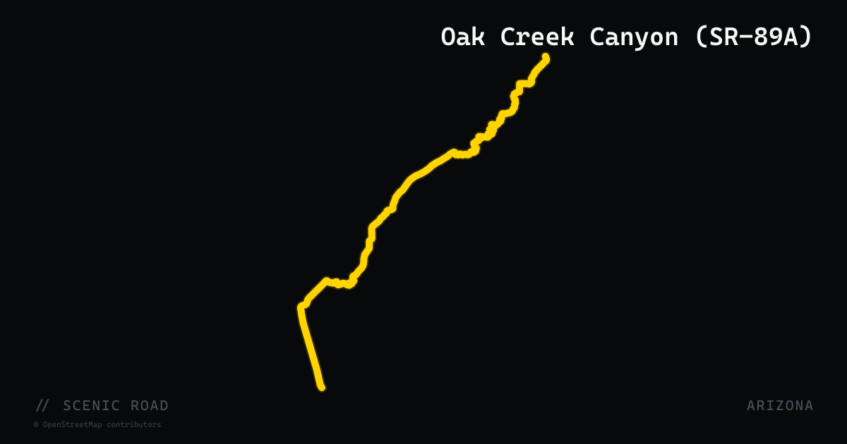
scenic road · arizona
Oak Creek Canyon (SR-89A)
Arizona State Route 89A from Sedona north to Flagstaff carves through Oak Creek Canyon — 14 miles of hairpin switchbacks and tight curves descending from the Coconino Plateau rim at 6,900 feet to Sedona's red rock country at 4,350 feet. The canyon walls of red and cream sandstone rise hundreds of feet on both sides as the road follows Oak Creek through a riparian corridor of sycamores and cottonwoods. ADOT designates this stretch as the Sedona–Oak Creek Canyon Scenic Road. The road is well maintained, with multiple pull-outs including Oak Creek Vista at the top and Slide Rock State Park midway. Most riders pair it with SR-179 for a complete Sedona loop.

scenic road · new jersey
Ocean Drive — Cape May to Ocean City
Ocean Drive is a 50-mile series of connected local and county roads (incorporating CR-619, CR-621, CR-656, and NJ-147/152 segments) running along New Jersey's southern barrier islands from Cape May north to Ocean City. The route crosses five Cape May County toll drawbridges ($2.50 per crossing), traversing the coastal communities of Wildwood, Stone Harbor, Avalon, and Sea Isle City with constant Atlantic Ocean and bay views. A distinct, flat, island-hopping coastal ride that contrasts with every other NJ route on the atlas — the Jersey Shore equivalent of the Florida Keys Overseas Highway.
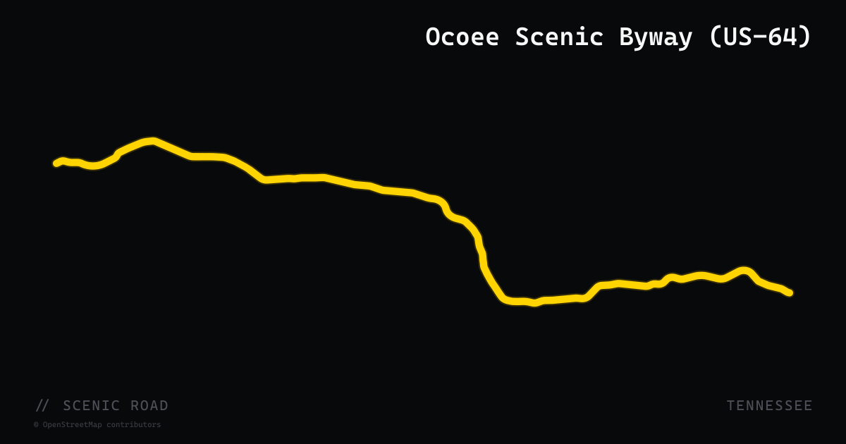
scenic road · tennessee
Ocoee Scenic Byway (US-64)
The Ocoee Scenic Byway follows 26 miles of US-64 through Cherokee National Forest in the southeast corner of Tennessee — the first nationally designated Forest Service Scenic Byway in the United States (1988). The route traces the north bank of the Ocoee River through a dramatic 15-mile gorge section of rocky bluffs and whitewater, past Parksville Lake and the Ocoee Whitewater Center — site of the 1996 Olympic canoe/kayak slalom. The western end climbs the Chilhowee Mountains for panoramic views of the Tennessee Valley, Cumberland Plateau, and on clear days into North Carolina and Georgia. Steady curves and a smooth surface make it accessible to all skill levels.
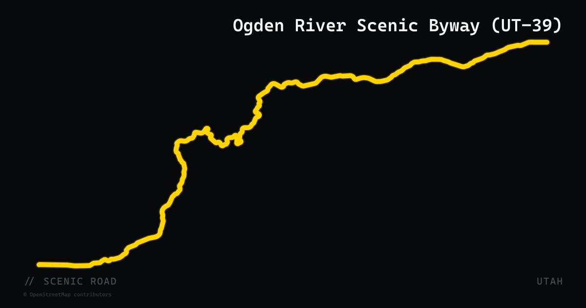
scenic road · utah
Ogden River Scenic Byway (UT-39)
44-mile state highway beginning at the mouth of Ogden Canyon and climbing through three distinct scenic zones: the narrow Ogden Canyon gorge, Pineview Reservoir, and the Monte Cristo range summit at over 9,000 feet. Officially designated a Utah State Scenic Byway. Popular with motorcyclists for its steady stream of curves and canyon walls that close in to near-lane width in the lower section. Seasonal closure of the upper Monte Cristo section (roughly December through April).
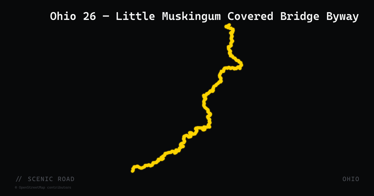
scenic road · ohio
Ohio 26 — Little Muskingum Covered Bridge Byway
Ohio State Route 26 is the National Forest Covered Bridge Scenic Byway, paralleling the Little Muskingum River northeast from Marietta through Wayne National Forest toward Woodsfield. The route enters deep woods almost immediately out of Marietta and follows the river corridor through a canopy of hardwoods for most of its 68-mile length, passing the historic Rinard Covered Bridge (the third structure at that site; the original dates to 1875) and small communities including Whipple and Rinard Mills. The road is winding throughout, with farm fields giving way to river bluffs and dense national forest. Traffic is extremely light. One of Ohio's official USFS National Forest Scenic Byways. Rider Magazine features it as part of the Southeast Ohio Roller Coaster Hills tour.
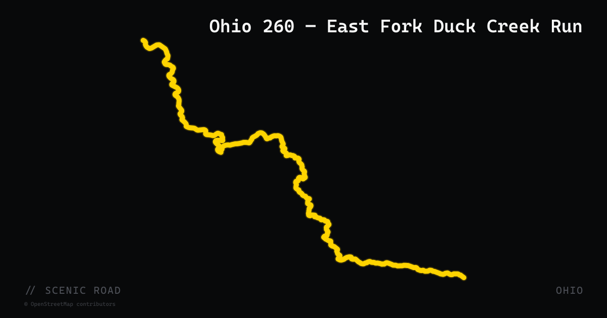
scenic road · ohio
Ohio 260 — East Fork Duck Creek Run
Ohio State Route 260 covers 36.67 miles through Washington, Monroe, and Noble counties in the western Appalachian foothills, running northwest from SR-7 at New Matamoras to SR-78 near East Union. Picking it up from the Ohio River at New Matamoras, riders immediately hit great S-turns climbing out of the river valley. From there the road follows East Fork Duck Creek with near-continuous sweepers and constant elevation changes through hilly terrain that Rider Magazine describes as 'incredible' curves. The route is lightly traveled, tree-canopied for much of its length, and provides a back-door approach to the Rim of the World (OH-78) at its northern end. No National Highway System designation keeps truck traffic off it.
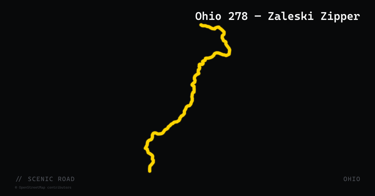
scenic road · ohio
Ohio 278 — Zaleski Zipper
Ohio State Route 278 is the primary road through Zaleski State Forest and past Lake Hope State Park in Vinton County, roughly 60 miles southwest of Athens. The Windy 9 maps it as Route 5: Zaleski Zipper (60.8 miles), considered one of the tighter, more technical routes in the system. The road threads through unbroken second-growth hardwood forest with minimal development, passing the access road to Moonville Tunnel (an abandoned railroad tunnel and one of southern Ohio's most photographed landmarks). Curves are more frequent and tighter than the Pioneer Pass or Lazy Rivers routes. Vinton County is one of the least-populated counties in Ohio, which keeps traffic genuinely sparse year-round. Pairs naturally with OH-555 (Triple Nickel) to the east for a full-day SE Ohio loop.
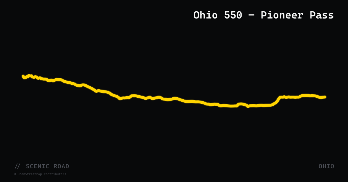
scenic road · ohio
Ohio 550 — Pioneer Pass
Ohio State Route 550 stretches 40.58 miles east–west across Athens and Washington counties, tracing the original Marietta–Chillicothe Stagecoach Road corridor between US-33 north of Athens and SR-7 west of Marietta. The Windy 9 maps it as Route 6: Pioneer Pass (103.5-mile loop out of Athens, combining SR-550 with SR-329). The road flows through miles of rural Ohio farmland along ridge lines and creek drainages, with moderate curves and light traffic. It serves as a natural connector between the Athens Windy 9 hub and Marietta, pairing well with the adjacent OH-26 Covered Bridge Byway (which begins at Marietta) for a full SE Ohio day loop. Communities along the route include Amesville, Guysville, and Bartlett.
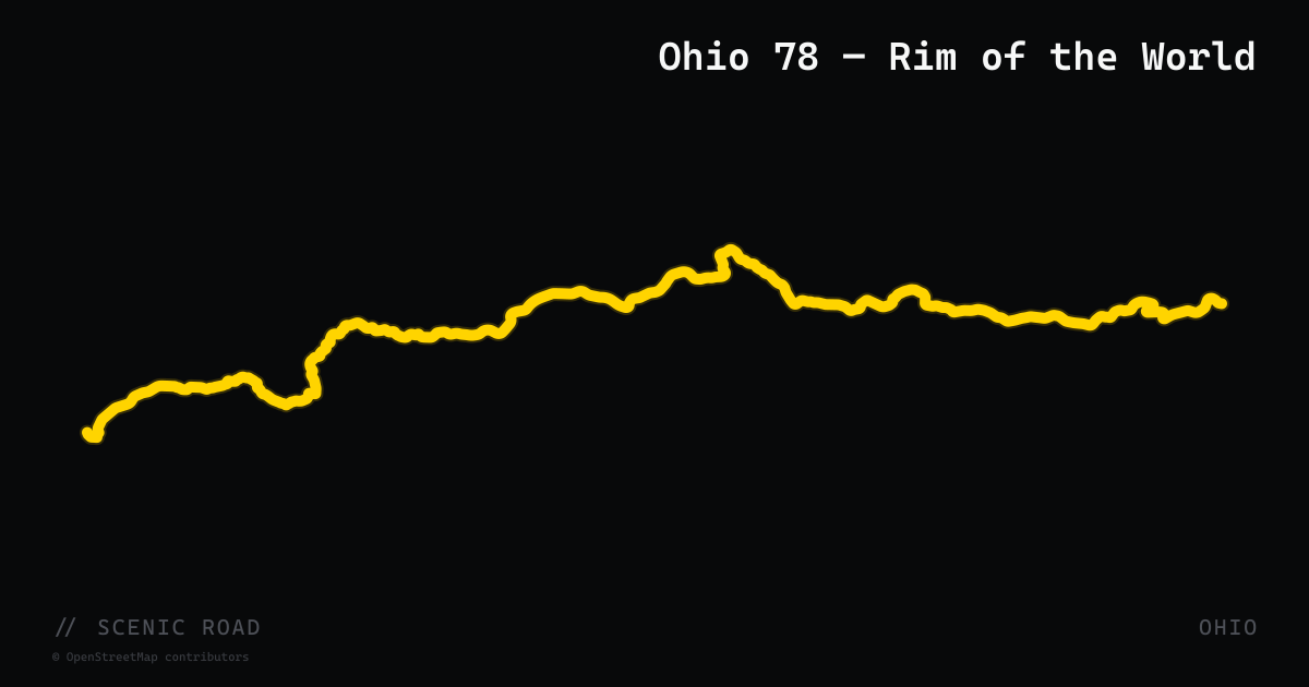
scenic road · ohio
Ohio 78 — Rim of the World
Ohio State Route 78 runs 105 miles from Nelsonville east to Clarington on the Ohio River, threading through Athens, Hocking, Morgan, Noble, and Monroe counties. The crown jewel is the 20-mile 'Rim of the World' stretch along the south edge of Burr Oak State Park in Morgan County — tight S-curves, 180-degree switchbacks, and sustained elevation gain that eventually crests to panoramic views across Wayne National Forest that riders describe as stretching 60 miles in every direction. Car and Driver named the full corridor one of America's most scenic highways. Highlights include Burr Oak Lake, the Big Muskie Bucket historic dragline artifact near McConnelsville, and the Ohio River bluffs near Clarington. Designated an Ohio Scenic Byway and part of the Appalachian Byway system. The Windy 9 maps it as Route 1: Rim of the World (86.6 miles out of Athens).
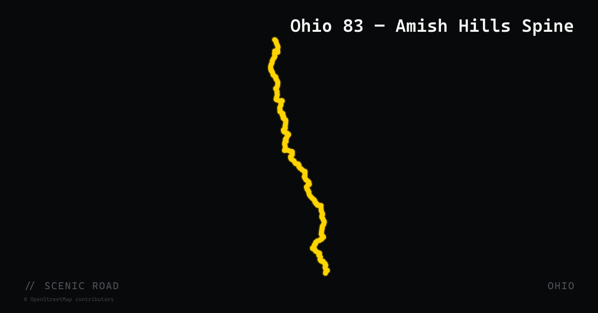
scenic road · ohio
Ohio 83 — Amish Hills Spine
The southern 46-mile section of Ohio State Route 83 between New Concord and Millersburg (its terminus near Beverly at SR-60) traverses the ridge tops and valleys of former strip-mining country in Morgan, Noble, and Holmes counties, with sweeping cross-valley views from ridge to ridge. The road surface is smooth and well-maintained; curves are long and flowing sweepers rather than tight technical corners, making it well-suited to cruisers and sport-tourers. South of I-70 the scenery improves markedly into genuine rolling Appalachian foothills, and the approach into Holmes County transitions from reclaimed mining land to active Amish farmland. The northern Millersburg terminus drops riders directly into the Holmes County cheese-and-buggy loop. Watch for farm equipment and horse-drawn buggies in the Holmes County section.
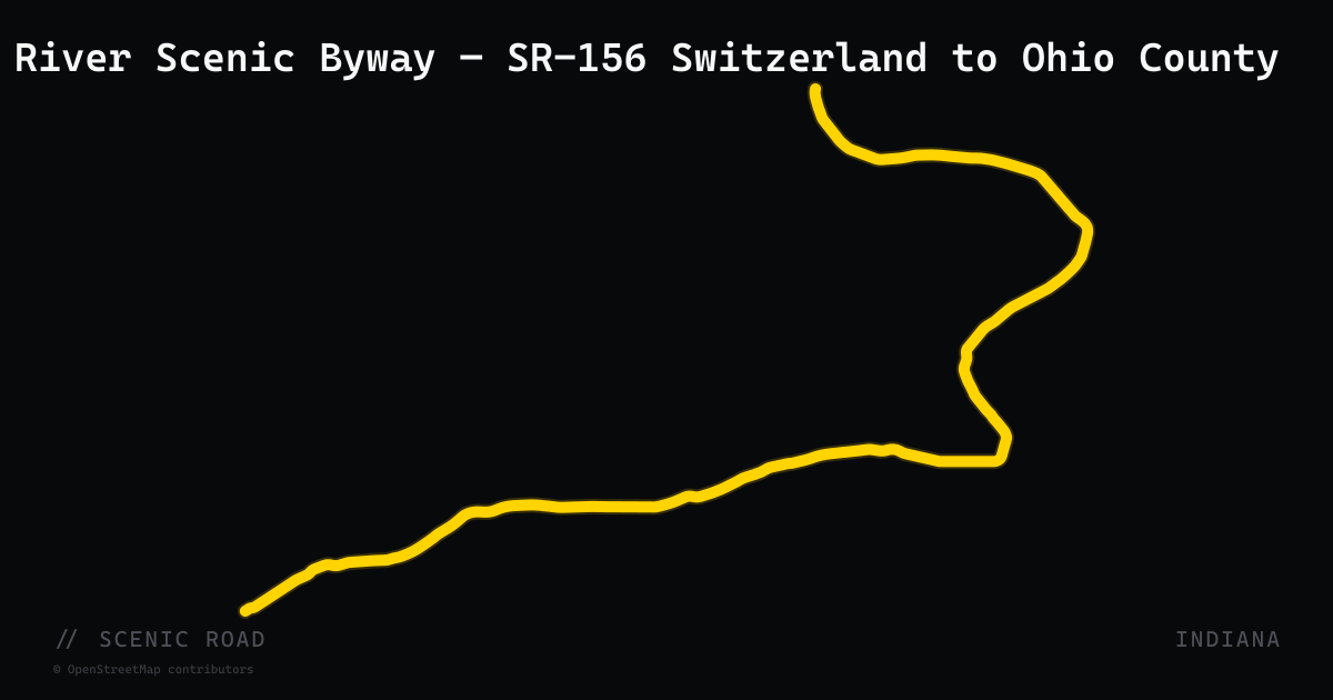
scenic road · indiana
Ohio River Scenic Byway — SR-156 Switzerland to Ohio County
SR-156 runs 27 miles from Vevay (Switzerland County seat) east to Rising Sun along the north bank of the Ohio River, passing through Patriot and Florence with near-constant river views. The road is part of the Ohio River Scenic Byway and forms the return leg of Madison's 100-mile 'Serpent of 62' loop — one of the most curve-dense motorcycle routes in the Midwest. The bluffs are lower here than on SR-62 but the road winds tightly along the riverbank, offering intimate river views that contrast with the open overlooks to the west. Lightly trafficked two-lane throughout.
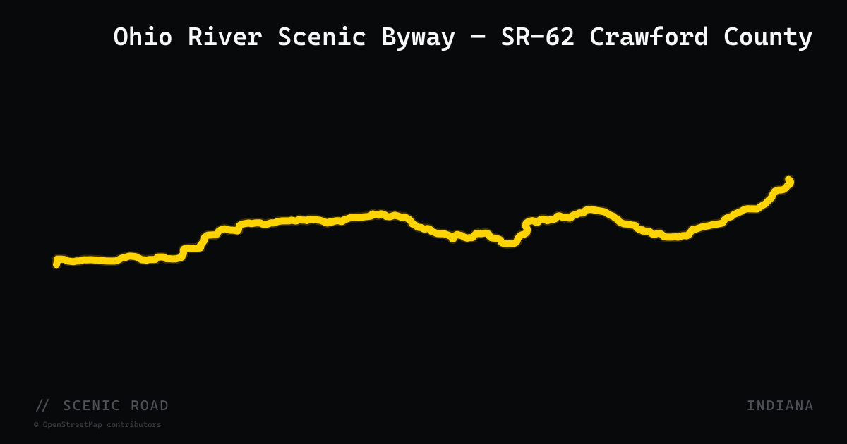
scenic road · indiana
Ohio River Scenic Byway — SR-62 Crawford County
SR-62 through Crawford County is the most curve-dense segment of Indiana's 302-mile Ohio River Scenic Byway. Between Leavenworth and Corydon the highway climbs and drops repeatedly through unglaciated karst hills — the same geology that produced Wyandotte and Marengo Caves — offering sweeping Ohio River views from ridgeline crests and tight switchbacks descending to the floodplain. Road runners know the 100-mile 'Serpent of 62' loop (Madison to Rising Sun to Vevay and back on SR-156) as Indiana's premier curve route with roughly 1,000 curves, but the Crawford County segment on SR-62 itself is the hilly heart of the full byway. Road conditions are generally good; watch for gravel in shaded turns.
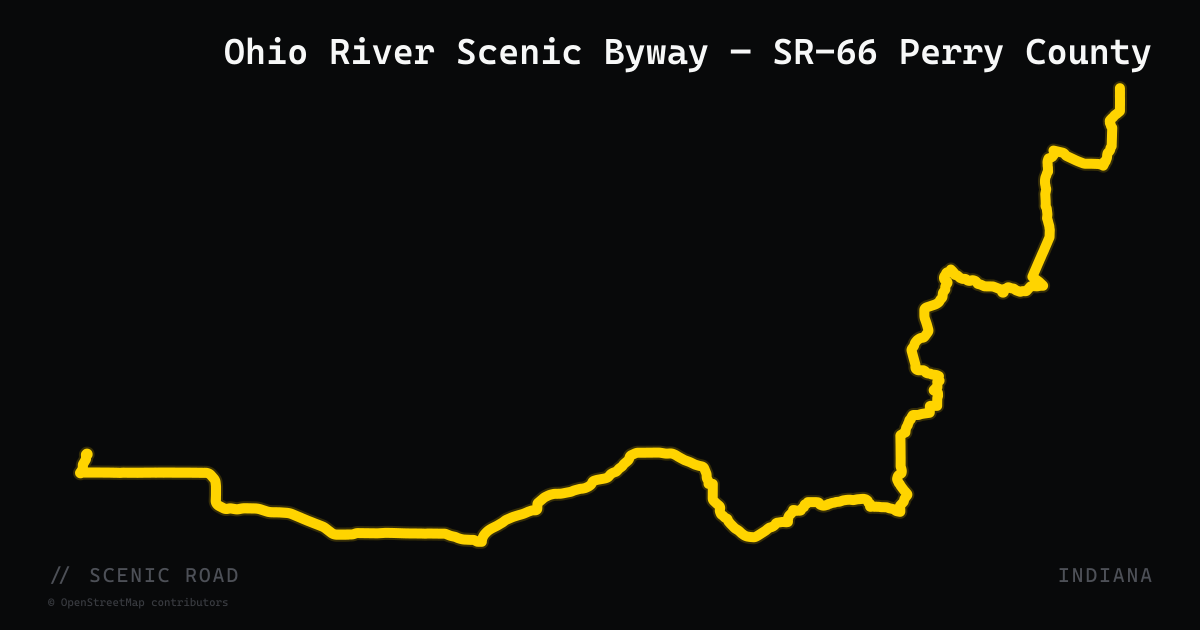
scenic road · indiana
Ohio River Scenic Byway — SR-66 Perry County
SR-66 carries Indiana's Ohio River Scenic Byway designation from just east of Newburgh west through Tell City and Cannelton to its junction with SR-62 at Sulphur — roughly 80 miles of undivided two-lane following the river through Perry and Spencer counties. The Perry County section is the most rewarding for motorcyclists: the road clings to bluffs above the Ohio, dropping to river level at Cannelton where Eagle's Bluff Overlook Park gives a bird's-eye view of the Cannelton Locks and Dam. South of the bluffs the terrain flattens toward Tell City but the road remains lightly trafficked. Perry County's network of county roads off SR-66 adds additional low-traffic riding miles through a region described as 'full of good quality county motorcycle roads.'
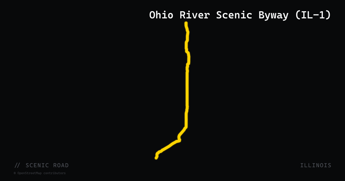
scenic road · illinois
Ohio River Scenic Byway (IL-1)
Illinois Route 1 serves as the primary corridor of the 188-mile Ohio River Scenic Byway, one of 14 original National Scenic Byways designated in 1996. The southern section runs from the Cave-in-Rock free ferry on the Ohio River north through Hardin and Pope counties, winding through the Shawnee National Forest with limestone bluffs, dense hardwood canopy, and river views. Cave-in-Rock State Park — named for the 55-foot cave carved into riverside limestone — sits directly on the route. The byway connects four county regions across the southern tip of Illinois before turning northwest toward Harrisburg.
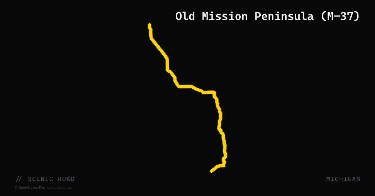
scenic road · michigan
Old Mission Peninsula (M-37)
A 17-mile state highway running the full length of Old Mission Peninsula from Traverse City north to the 1870 Mission Point Lighthouse, designated a Michigan State Scenic Byway (2008) and a Pure Michigan Heritage Route. The road passes orchards, vineyards, and bluffs rising up to 200 feet above both East and West Grand Traverse Bay with panoramic water views. The peninsula sits on the 45th parallel — halfway between the equator and the North Pole — and its microclimate supports cherry and wine-grape agriculture that lines the route. Motorcycle-specific itineraries pairing M-37 with M-22 and US-31 are promoted by northern Michigan tourism organizations.
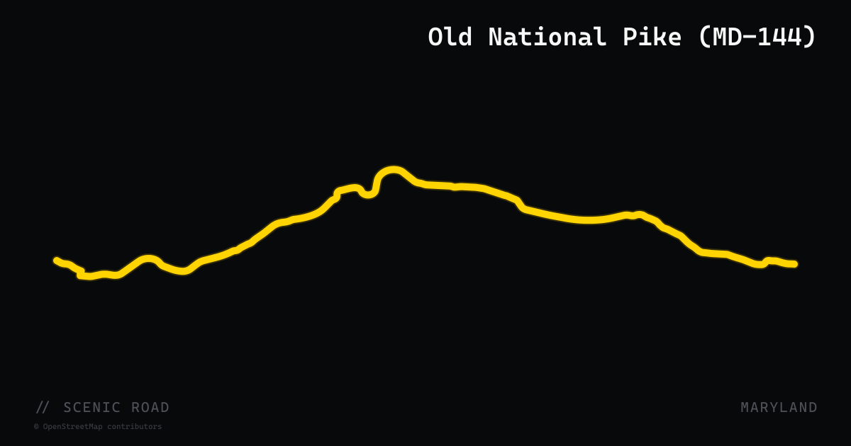
scenic road · maryland
Old National Pike (MD-144)
Maryland Route 144 comprises multiple disconnected segments totaling roughly 57 miles that trace the old alignment of US-40 across Maryland from Cumberland to Baltimore, predating the interstate. The most scenic segment runs through the Appalachian Mountains in Allegany County (17.55 miles, Cumberland to Flintstone), paralleling I-68 through creek valleys and over Martin Mountain and Polish Mountain. The highway is part of the Historic National Road Scenic Byway and passes through Hancock, Hagerstown, Frederick, New Market, Mount Airy, and Ellicott City — home to the B&O Ellicott City Station Museum, the country's oldest surviving railroad station. The mountain sections offer the riding; the eastern piedmont and historic main streets offer the context.
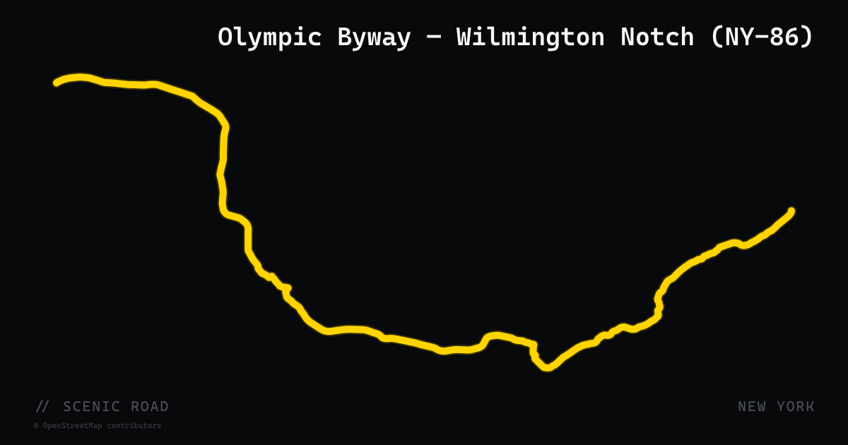
scenic road · new york
Olympic Byway — Wilmington Notch (NY-86)
New York State Route 86 forms the spine of the Olympic Trail Scenic Byway, a 33-mile corridor from Keeseville southwest to Lake Placid through Wilmington Notch — a tight river gorge on the West Branch Ausable River that's a noted fly-fishing destination. The road passes through Wilmington (gateway to NY-431/Whiteface) and enters Lake Placid, twice host of the Winter Olympics (1932, 1980). From Lake Placid, NY-73 branches southeast through Keene Valley toward the High Peaks, adding a high-elevation mountain pass segment popular with sport-touring riders.
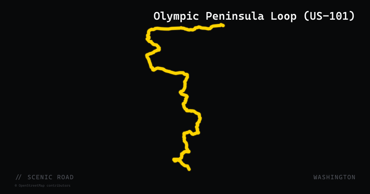
scenic road · washington
Olympic Peninsula Loop (US-101)
US-101 circles the Olympic Peninsula for roughly 330 miles, passing through temperate rainforest, ocean beach, and the glacier-studded Olympics interior. The route skirts three sides of Olympic National Park — the Hoh Rain Forest corridor on the west, the Strait of Juan de Fuca on the north, and Hood Canal on the east. Rider Magazine and American Sport Touring both rate the loop as one of the top multi-day Pacific Northwest rides. Road surface is well-maintained two-lane with long sweepers and occasional sharp curves on the western and northern segments; amenities are widely spaced, especially on the remote southwestern stretch between Forks and Lake Quinault.
scenic road · florida
Ormond Scenic Loop & Trail
A 34-mile double-loop of county roads immediately north of Daytona Beach, frequently cited as the finest motorcycle ride on Florida's east coast. The loop combines CR-2002 (Highbridge Road / Walter Boardman Road) on the north, CR-4011 (Old Dixie Highway / North Beach Street) on the west, CR-2803 (John Anderson Drive) through the center, and SR-A1A on the Atlantic coast. No stoplights, no shopping centers — only live-oak canopy dripping with Spanish moss, Tomoka State Park, tidal salt marsh, and minimal traffic. Tomoka State Park sits at the central crossroads. Ormond Beach's Iron Horse Saloon at the US-1 trailhead makes a natural start/finish.
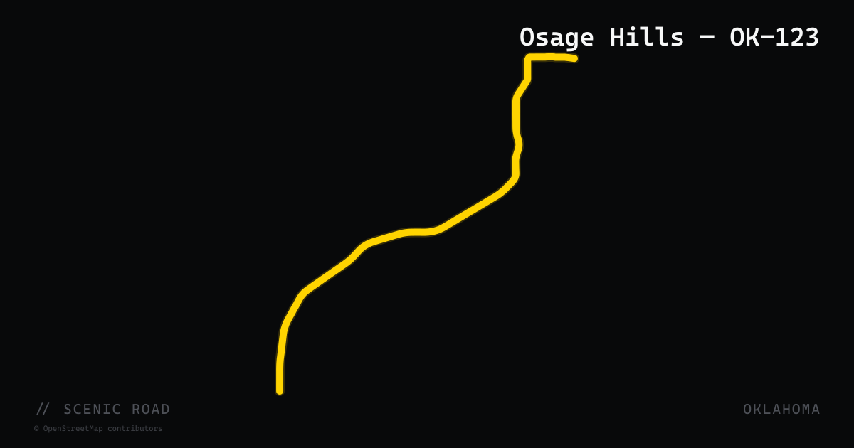
scenic road · oklahoma
Osage Hills — OK-123
Oklahoma State Highway 123 runs 22.7 miles from Barnsdall (formerly Bigheart, home to the only main-street oil well in the United States) northeast to Dewey in Washington County, passing through Osage County and skirting the Woolaroc Museum and Wildlife Preserve — a 3,600-acre private ranch founded by oilman Frank Phillips in 1925 that still hosts free-roaming bison, elk, longhorn, and Scottish Highland cattle alongside a world-class Western art museum. TravelOK describes OK-123 as a smooth, scenic route well-suited to all skill levels and one of eastern Oklahoma's top five rides. The Osage Hills terrain is gently rolling with open views and light traffic.
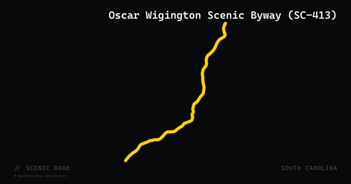
scenic road · south carolina
Oscar Wigington Scenic Byway (SC-413)
The Oscar Wigington Scenic Byway follows SC-107 and its spur SC-413 for 20 miles through Sumter National Forest in Oconee County, beginning where it intersects the Cherokee Foothills National Scenic Byway (SC-11). Fourteen miles of the route are officially designated a National Forest Scenic Byway by the USDA Forest Service. SC-413 branches off toward the Wigington Overlook, a viewpoint with a sweeping panorama of Lake Jocassee and the Blue Ridge Mountains. Along the corridor riders pass Oconee State Park, the Walhalla Fish Hatchery, Moody Spring, Chattooga River access points, and several roadside waterfalls including Spoonauger Falls and King Creek Falls. Fall rhododendron color and October hardwood foliage make this one of the most visually rewarding short byway routes in the Carolina mountains.
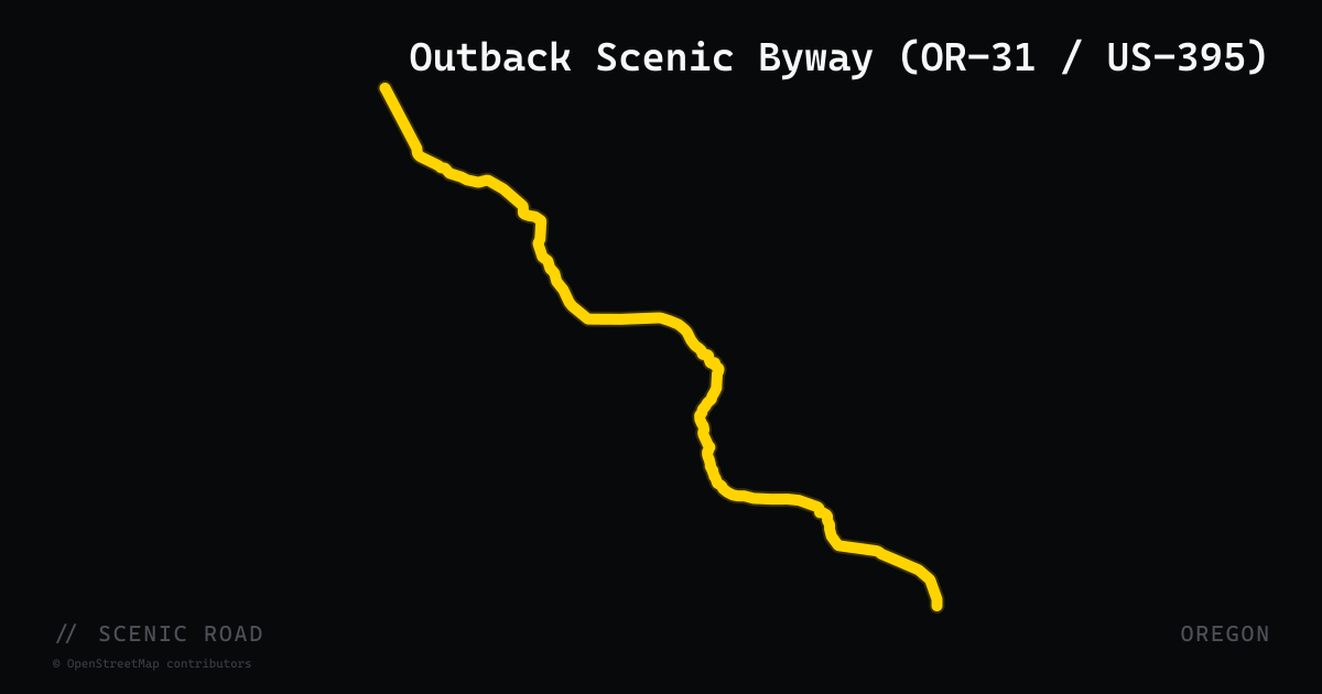
scenic road · oregon
Outback Scenic Byway (OR-31 / US-395)
The Outback Scenic Byway is a 170-mile National Scenic Byway through Oregon's high-desert southeast, starting near La Pine and running southeast on OR-31 through Summer Lake, the Chewaucan Valley, and into Lake County before joining US-395 south to the California border at New Pine Creek. The route passes Fort Rock State Park, the Hole-in-the-Ground maar crater, and Summer Lake Hot Springs. Roads are two-lane rural highway at high elevation (Lakeview sits at 4,800 ft, Oregon's highest incorporated city) with long straight sections punctuated by sweeping high-desert curves and virtually no traffic — essential to plan for fuel gaps.
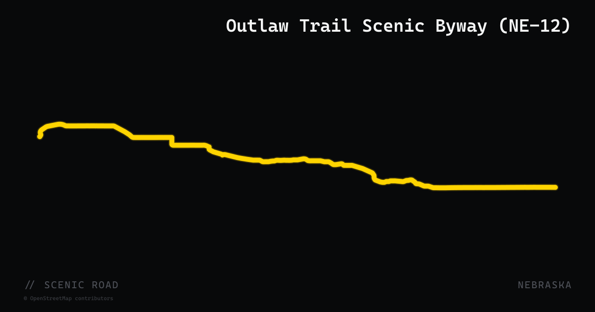
scenic road · nebraska
Outlaw Trail Scenic Byway (NE-12)
NE-12 follows the Missouri and Niobrara river bluffs for roughly 231 miles from South Sioux City to Valentine, with some genuinely sweeping curves near Niobrara State Park. Smith Falls, Nebraska's tallest waterfall, and Fort Niobrara National Wildlife Refuge sit near the western end.
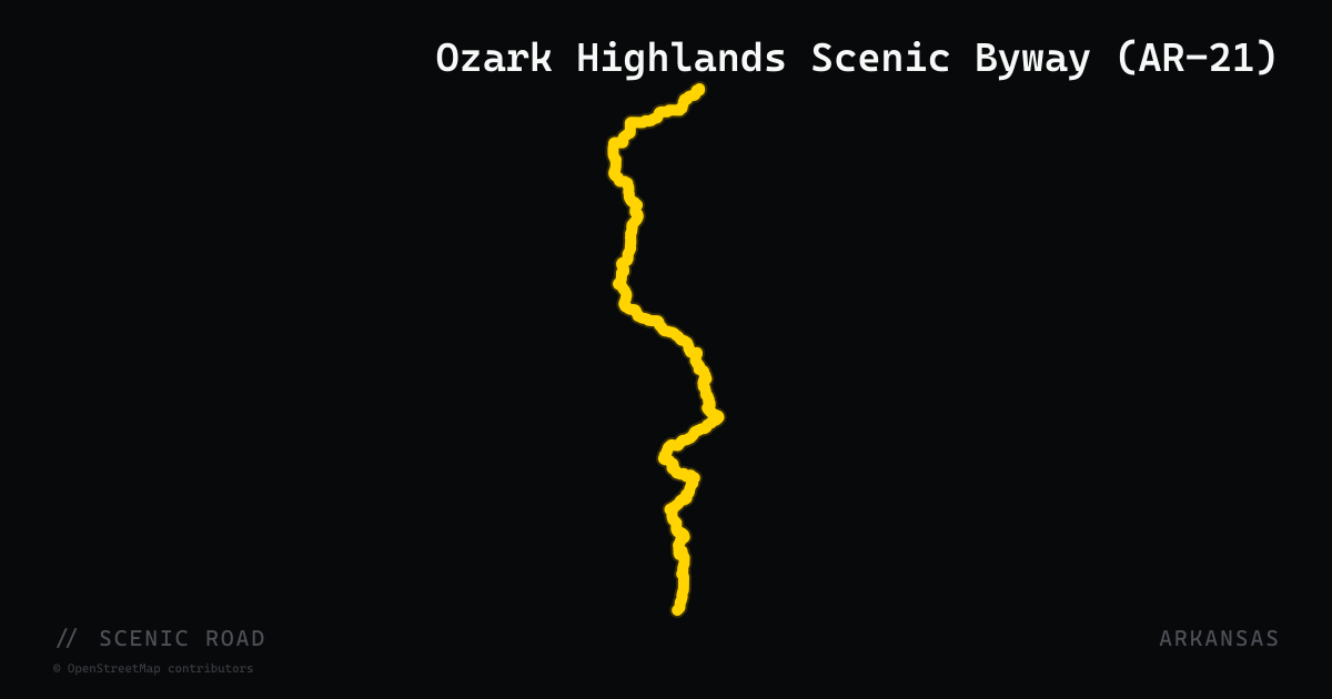
scenic road · arkansas
Ozark Highlands Scenic Byway (AR-21)
Arkansas Highway 21 runs 99 miles north from I-40 at Clarksville to the Missouri state line, and its federally designated 35-mile scenic byway section — from US-64 in Clarksville to the Buffalo National River near Ponca — is the standout motorcycle stretch. The road climbs through the Boston Mountains of the Ozark National Forest with sweeping curves, open ridgeline views, and wooded hollows before descending into Boxley Valley, where AR-21 parallels the Buffalo River headwaters. A free-roaming elk herd of roughly 450 animals grazes the valley floor and occasionally crosses the highway. The byway was officially designated in 2005; the pavement is good and traffic stays light through Newton County.
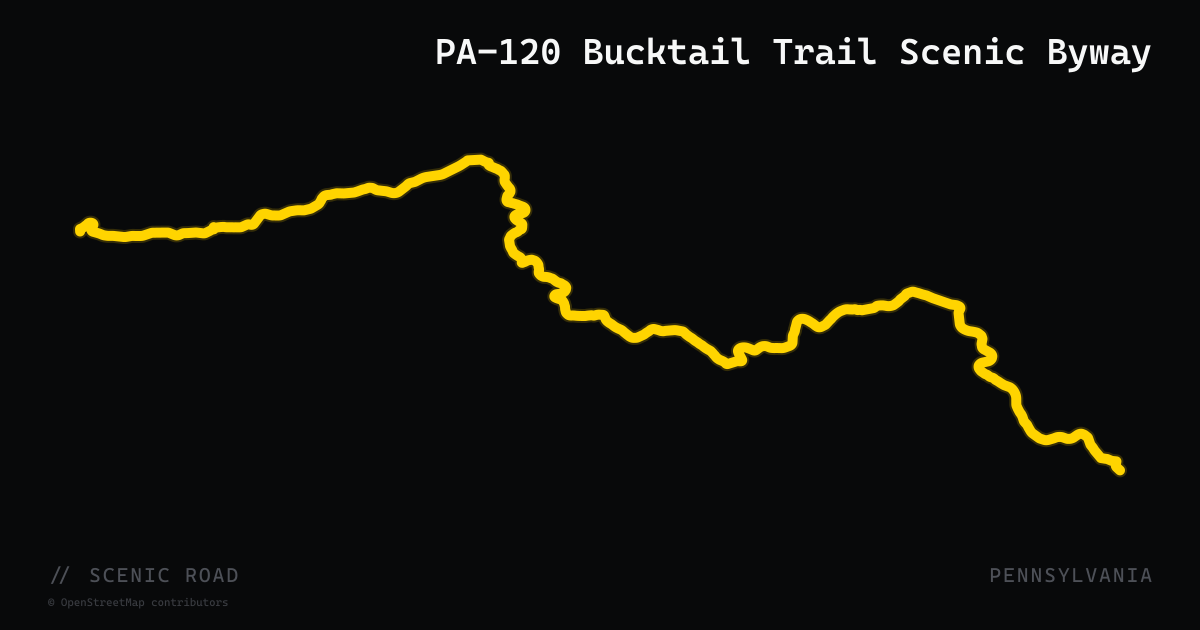
scenic road · pennsylvania
PA-120 Bucktail Trail Scenic Byway
A 100-mile Pennsylvania Scenic Byway through Sproul and Elk state forests, running from Lock Haven west to Ridgway along the Sinnemahoning Creek corridor. National motorcycling publications describe the full ride as '103 miles of riding bliss' and 'addictive,' with riders flanked by high cliffs, deep hemlock hollows, and drop-offs to mountain streams. The byway follows an ancient Native American trail across the eastern continental divide between the Susquehanna and Allegheny river systems. Wildlife including elk are commonly spotted in Cameron County, and the road is minimally developed throughout — very few traffic lights or commercial interruptions.
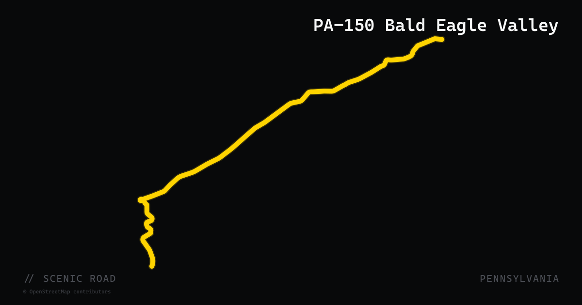
scenic road · pennsylvania
PA-150 Bald Eagle Valley
A 41-mile state highway connecting State College (near PA-26) northwest to Avis on US-220, threading the Bald Eagle Valley through Centre and Clinton counties. The route crosses a gap in Bald Eagle Mountain, runs along the northwest shore of the Foster Joseph Sayers Reservoir, and parallels Bald Eagle Creek through forested ridge terrain. The DCNR's Bald Eagle State Forest surrounds much of the corridor, and the road provides access to seven documented scenic overlooks within the forest. Bald Eagle State Park sits along the reservoir section. The road links to PA-120 (Bucktail Byway) near Lock Haven, making it a natural connecting segment for north-central Pennsylvania touring loops.
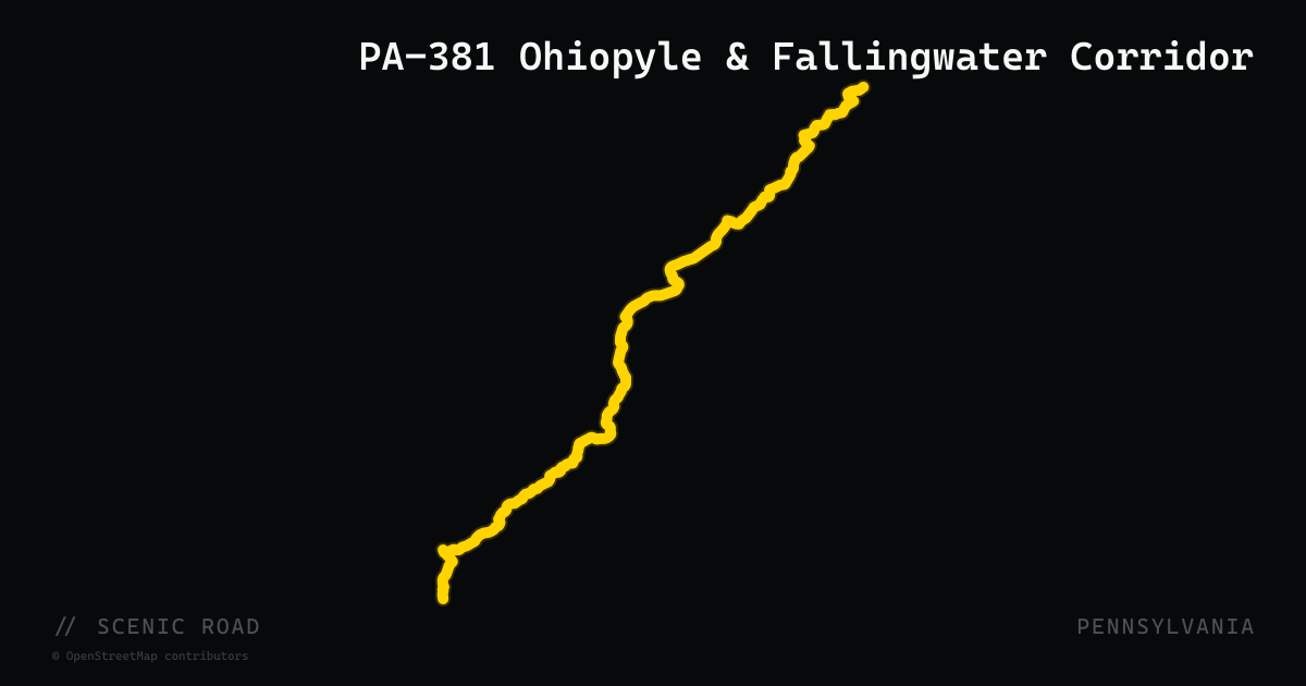
scenic road · pennsylvania
PA-381 Ohiopyle & Fallingwater Corridor
A 49-mile two-lane highway through the core of the Laurel Highlands in Fayette and Westmoreland counties, running from US-30 near Ligonier south through Ohiopyle State Park to the West Virginia border. The road crosses the Youghiogheny River at the Ohiopyle Highway Bridge, passes a half-mile from Frank Lloyd Wright's Fallingwater, and traverses Forbes State Forest on tight elevation-change curves. The southern stretch drops into the Youghiogheny River Gorge and is part of the Scenic Byway Routes 711/381 designation by the Laurel Highlands Tourism Authority.
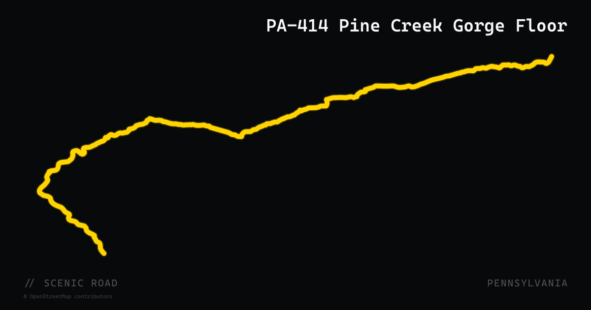
scenic road · pennsylvania
PA-414 Pine Creek Gorge Floor
A two-lane state highway that descends into and travels along the floor of Pine Creek Gorge — Pennsylvania's Grand Canyon — between Waterville in the south and Blackwell in the north. Rider Magazine's 2025 Pennsylvania Wilds feature calls PA-414 'one of Pennsylvania's great motorcycling roads,' citing its winding path along Pine Creek through canyon farmland, the valley villages of Slate Run and Waterville, and the dramatic 1,450-foot gorge walls rising on both sides. The road provides gorge-floor access that rim roads PA-44 and PA-660 cannot, with Cedar Run Inn (hamlet of Cedar Run) as the only services at canyon floor level for most of the route. PA-414 connects at Blackwell to PA-44 for a complete gorge loop.
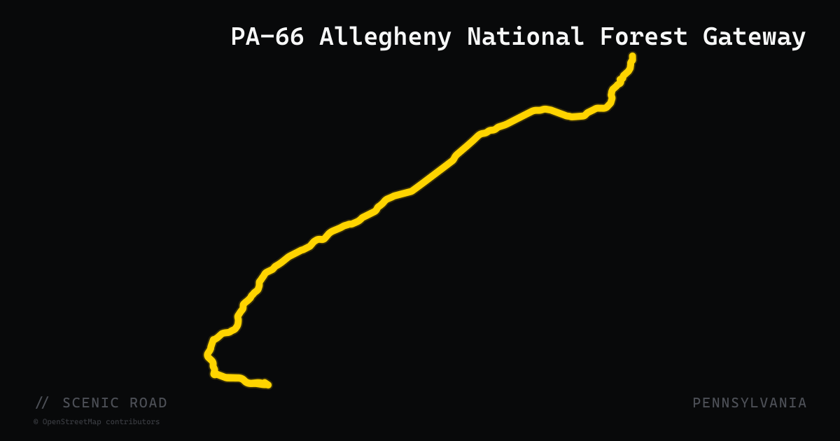
scenic road · pennsylvania
PA-66 Allegheny National Forest Gateway
A 140-mile state highway running from New Stanton in Westmoreland County north to Kane in McKean County, serving as the primary western gateway into Pennsylvania's only national forest. The northern two-thirds of PA-66 transitions from suburban to deeply rural as it passes through Clarion, Forest, and Elk counties, crossing the Clarion River and entering Allegheny National Forest in Jenks Township. Rider Magazine's Allegheny Plateau route uses PA-66 as the spine approach to Kane, where connecting roads PA-59 and the Longhouse National Scenic Byway provide reservoir views and forest riding through old-growth hardwood. The route also passes close to Cook Forest State Park, home to the tallest trees in the eastern U.S.
scenic road · pennsylvania
PA-87 Endless Mountains
A 64-mile north–south state highway through Lycoming, Sullivan, and Wyoming counties in Pennsylvania's Endless Mountains region, running from Williamsport northeast to Mehoopany. Rated 4.5 out of 5 stars on motorcycleroads.com by riders who call it 'one of the sweetest roads in PA,' PA-87 follows the Loyalsock Creek bed through sheer rock walls, creek-side vegetation, and picturesque stream crossings. The road offers a well-balanced mix of sweepers and slightly tight corners with minimal traffic and few intersections, making it ideal for continuous spirited riding through lush northern Pennsylvania forest.
scenic road · california
Pacific Coast Highway (Big Sur)
California's Highway 1 hugging the Big Sur coastline — sheer cliff drop-offs, the Bixby Bridge, redwood canyons, and the most photographed stretch of road in California.
scenic road · oregon
Pacific Coast Scenic Byway (US-101)
US-101 runs the full 363-mile length of the Oregon coast from Astoria on the Columbia River to the California border, designated an All-American Road and National Scenic Byway. The route alternates between headland bluffs, sandy beaches, sea-stack viewpoints, and fishing towns, with highlights including the Samuel H. Boardman State Scenic Corridor (12 miles of sea stacks and cove beaches near Brookings), Cape Perpetua, and the Oregon Dunes National Recreation Area north of Coos Bay. The road is generally open year-round, two lanes, and paced for relaxed touring with frequent pull-outs and coastal towns for fuel and food.
scenic road · montana
Paradise Valley Corridor (US-89)
A 53-mile stretch of US-89 running south from Livingston to Gardiner (the north entrance of Yellowstone National Park), following the Yellowstone River through Paradise Valley with the Absaroka Range to the east and the Gallatin Range to the west. Wide-open big-sky riding on excellent pavement with abundant elk and pronghorn sightings, hot springs access at Chico Hot Springs, and a dramatic canyon entry into Gardiner. A key leg of the Yellowstone motorcycle circuit.
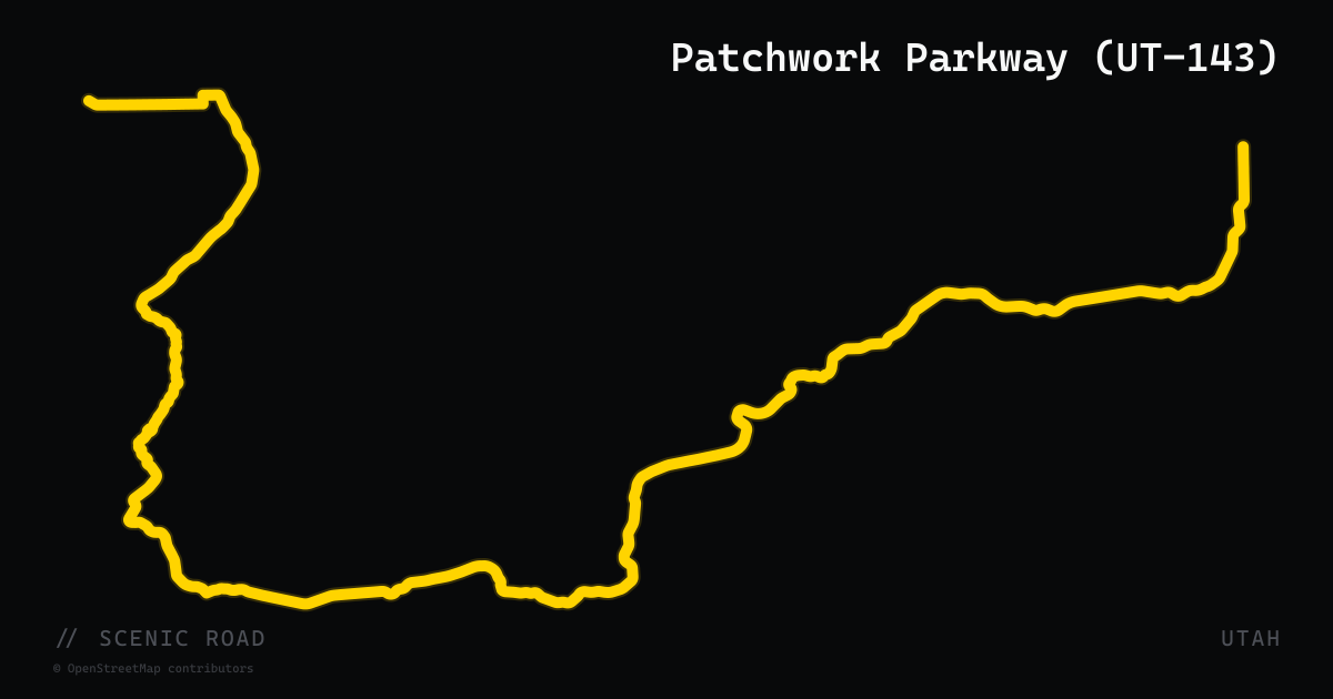
scenic road · utah
Patchwork Parkway (UT-143)
51-mile state highway connecting Parowan to Panguitch through the Markagunt Plateau, reaching 10,626 feet at Cedar Breaks National Monument — the second-highest paved road in Utah. The route crosses six major life zones in 51 miles, transitioning from sagebrush desert to old-growth spruce forest. Provides the primary vehicle access to Cedar Breaks National Monument and Brian Head Ski Resort. Named for the patchwork quilts Mormon pioneers laid on snow to cross this pass in 1864. Officially designated a National Scenic Byway.
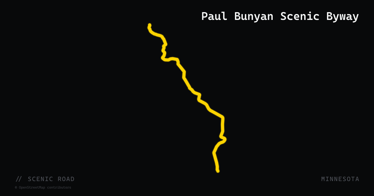
scenic road · minnesota
Paul Bunyan Scenic Byway
The Paul Bunyan National Scenic Byway is a 54-mile double-loop route through the northwoods lake country of Crow Wing and Cass counties, centered between Pequot Lakes and Crosslake roughly 30 miles north of Brainerd. The byway follows county roads (including County Roads 1, 16, 66, 3, 11, and 15) past Upper and Lower Whitefish Lake, Cross Lake, Rush Lake, and Big Trout Lake, through the resort communities of Pequot Lakes, Pine River, Jenkins, and Crosslake. The route is characterized by broad, well-maintained paved shoulders and gentle curves rather than technical riding — it is a relaxed lake-country cruise through classic Minnesota northwoods scenery. The area supports birding, fishing, boutique shopping, and golf. The byway is free and open year-round, though northern Minnesota winters limit practical riding to May through October.
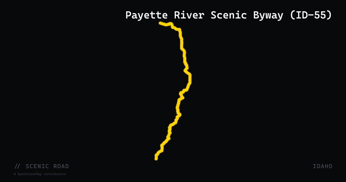
scenic road · idaho
Payette River Scenic Byway (ID-55)
A 112-mile National Scenic Byway on Idaho Highway 55 from Eagle north to New Meadows, climbing from the high desert at 2,700 ft through river canyons and pine forests to McCall at 5,030 ft. The road follows the North Fork Payette River for 35 miles of canyon riding between Banks and Cascade, offering tight twisting curves, high-speed sweepers, and continuous whitewater views. Passes through Horseshoe Bend, Banks, Cascade, Donnelly, and McCall — all with services.
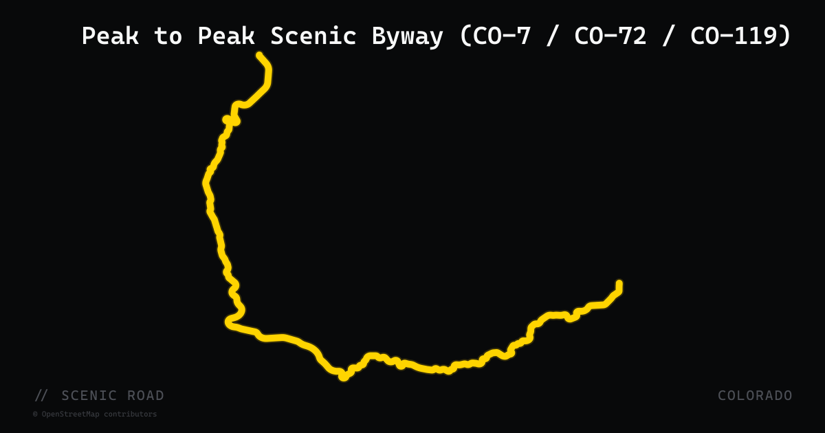
scenic road · colorado
Peak to Peak Scenic Byway (CO-7 / CO-72 / CO-119)
Colorado's oldest scenic highway runs 55 miles along the Front Range from Estes Park south to Black Hawk, stitching together CO-7, CO-72, and CO-119 through Gilpin, Boulder, and Larimer counties. The route skirts the eastern edge of Rocky Mountain National Park and the Indian Peaks Wilderness, passing ghost towns, gold-rush communities (Nederland, Central City, Black Hawk), and sweeping views of Longs Peak and the Continental Divide. Originally established in 1918 and designated a National Forest Scenic Byway, it is largely two lanes with well-maintained pavement and a steady supply of sweeping curves through pine and aspen.
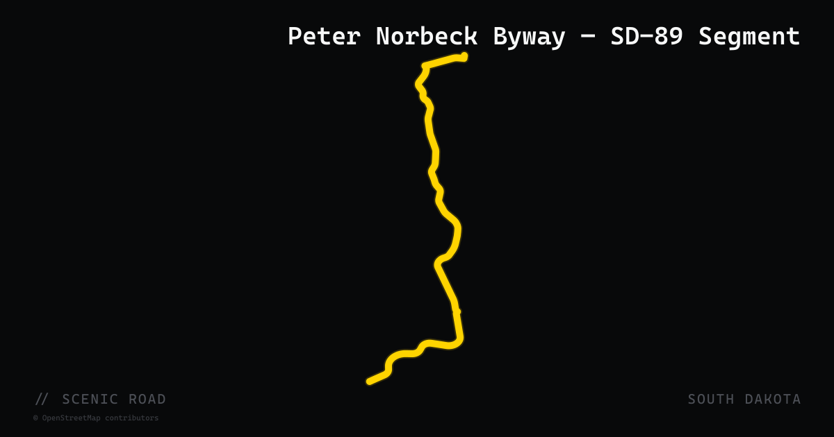
scenic road · south dakota
Peter Norbeck Byway — SD-89 Segment
The 34.5-mile South Dakota Highway 89 runs through Fall River and Custer counties, with the scenic northern segment from Custer to SD-87 forming part of the 70-mile Peter Norbeck National Scenic Byway. This stretch passes through the southern Black Hills, connecting Custer and the Sylvan Lake area to the Needles Highway junction in a forested mountain corridor distinct from the other three Peter Norbeck roads.
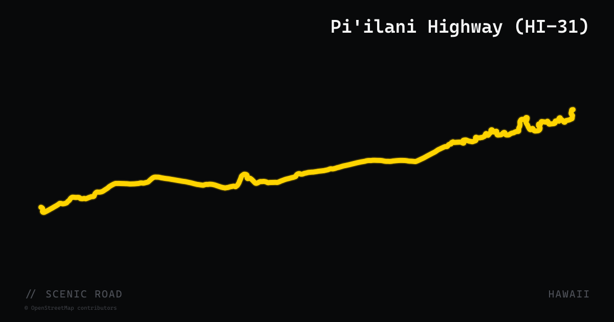
scenic road · hawaii
Pi'ilani Highway (HI-31)
Pi'ilani Highway (Route 31) is the 38-mile back road that completes the loop around Maui's eastern tip, running from Kipahulu (near Hana) along the remote southern coast to Ulupalakua. The road passes black-sand beaches, sea cliffs, and undeveloped coastline with almost no services. A 6-mile section remains rough, narrow, and one-lane in places, making it distinctly different from the groomed Hana Highway experience. Some rental-car providers prohibit the road; motorcycles handle it well in dry conditions but should avoid it after heavy rain due to potential washouts and rockfall. The section is genuinely remote with no cell coverage.
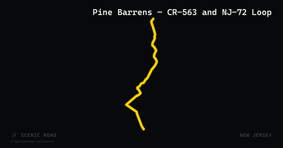
scenic road · new jersey
Pine Barrens — CR-563 and NJ-72 Loop
A 43.87-mile stretch of County Route 563 runs north from Egg Harbor City (Atlantic County) through the heavily forested Pine Barrens to Route 72 near Chatsworth (Burlington County), crossing the Mullica River and skirting Wharton State Forest. The road is designated part of the Pine Barrens Byway. Combined with NJ-72 (the main east-west Pine Barrens connector), it forms a quiet, flat loop through miles of cedar, pine, and cranberry bog with almost no traffic. The character is the opposite of the northwest Highlands — open sky, arrow-straight sections, zero elevation — and is the defining Pine Barrens ride.
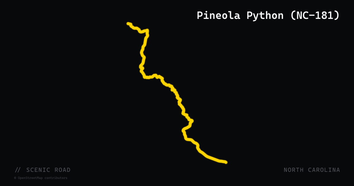
scenic road · north carolina
Pineola Python (NC-181)
North Carolina Highway 181 runs 36 miles between Morganton and Newland through the Pisgah National Forest, delivering 185 curves and more than 2,200 feet of elevation gain in a road that riders call the Pineola Python. The highway parallels the eastern rim of the Linville Gorge Wilderness — the deepest gorge in the eastern United States — and connects to Grandfather Mountain and Linville Falls at its northern end. A 13-mile concentrated section of undeveloped woodland is the technical heart of the ride, with smooth pavement, posted speed warnings through the tightest bends, and passing lanes on the longer straights. Unlike the more famous Dragon and Diamondback, NC-181 is a practical commuter road for western NC mountain communities, meaning traffic patterns are predictable and mid-week rides are uncrowded. It overlaps with the Pisgah Loop Scenic Byway between Jonas Ridge and NC-183.
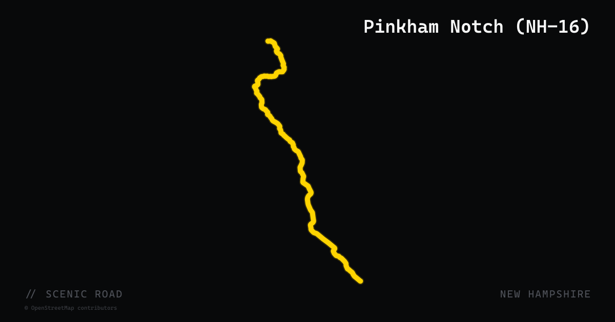
scenic road · new hampshire
Pinkham Notch (NH-16)
New Hampshire Route 16 through Pinkham Notch is the primary north-south corridor through the heart of the White Mountains, running roughly 30 miles from Glen north to Gorham at an elevation high point of 2,032 feet. The notch — a glacially carved U-shaped valley — places riders between the Presidential Range on the west and the Carter-Moriah Range on the east. The road offers long, sweeping curves with frequent views of 4,000-foot peaks, and passes the base of the Mount Washington Auto Road, Wildcat Mountain ski area, and the Appalachian Mountain Club's Pinkham Notch Visitor Center. Traffic is lighter than the Kancamagus despite the proximity, and the combination of elevation gain, mountain scenery, and big-road geometry makes this one of the most satisfying stretches in the Northeast.
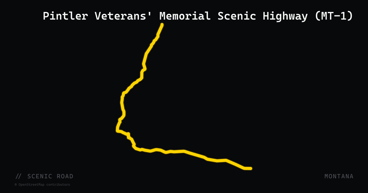
scenic road · montana
Pintler Veterans' Memorial Scenic Highway (MT-1)
A 64-mile Montana highway connecting Drummond to Anaconda through the Anaconda-Pintler Range, passing Georgetown Lake, Philipsburg, and the ghost town of Granite.
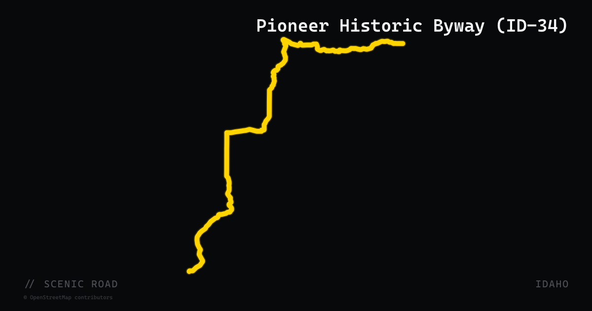
scenic road · idaho
Pioneer Historic Byway (ID-34)
A 127-mile state byway from the Utah border to the Wyoming border in southeastern Idaho, tracing pioneer emigrant and freight wagon routes. The primary corridor runs on US-91 from the Utah line north to Lava Hot Springs, then transitions to ID-34 through Soda Springs, Montpelier, and north to the Wyoming state line. Passes the Oregon and California trail ruts, Bear Lake overlook, Lava Hot Springs, and the Caribou Mountains. Remote, lightly-trafficked two-lane through volcanic tableland with big sky views.
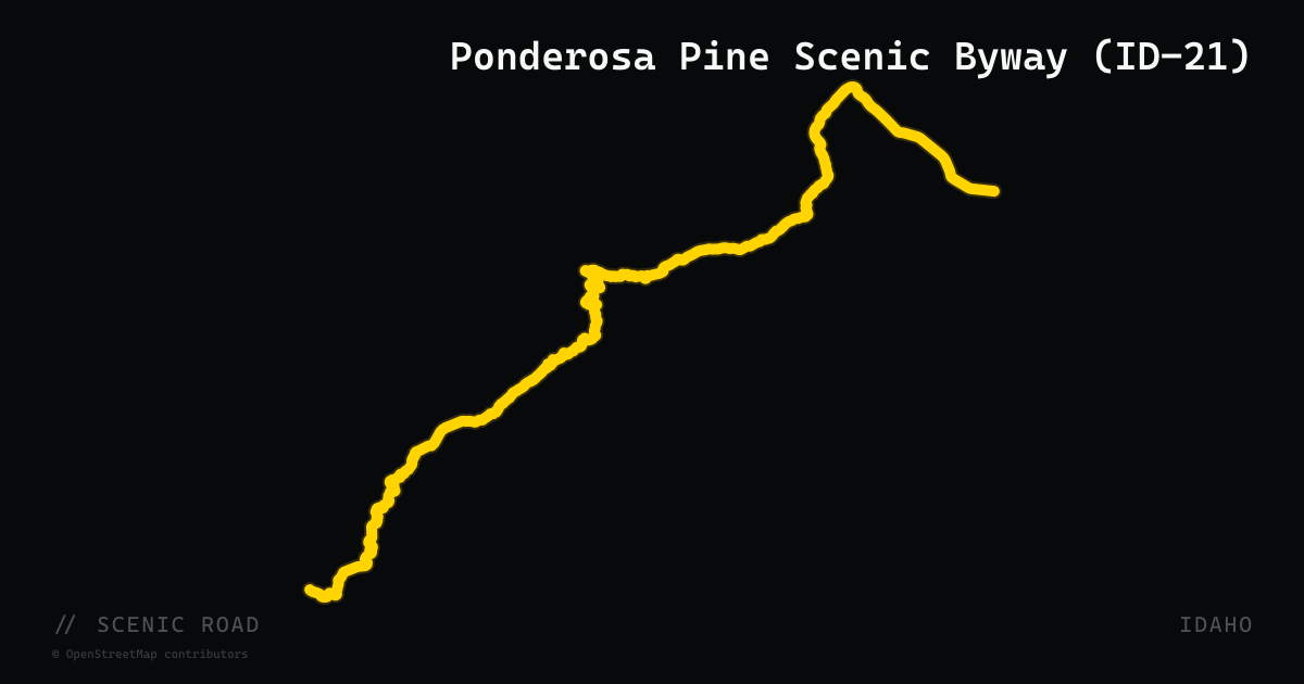
scenic road · idaho
Ponderosa Pine Scenic Byway (ID-21)
Lowman to Stanley over Banner Summit (7,056 ft). The Banner Summit section is the closest Idaho gets to true tight technical — steep ascents, "jigsaw ridges, twisted corners." Best mid-May to mid-October. Honestly milder than Western flagship technical roads.
scenic road · kansas
Post Rock Scenic Byway (K-232)
An 18-mile State Scenic Byway on K-232 connecting Lucas and Wilson through the Smoky Hills of north-central Kansas. The route is named for the fencepost limestone outcrops early settlers quarried in lieu of wood, leaving hundreds of distinctive stone fence posts still standing along roadsides and across fields. Nearly half the route runs adjacent to Wilson Lake. A short but concentrated ride through the geology that defines the region's identity.
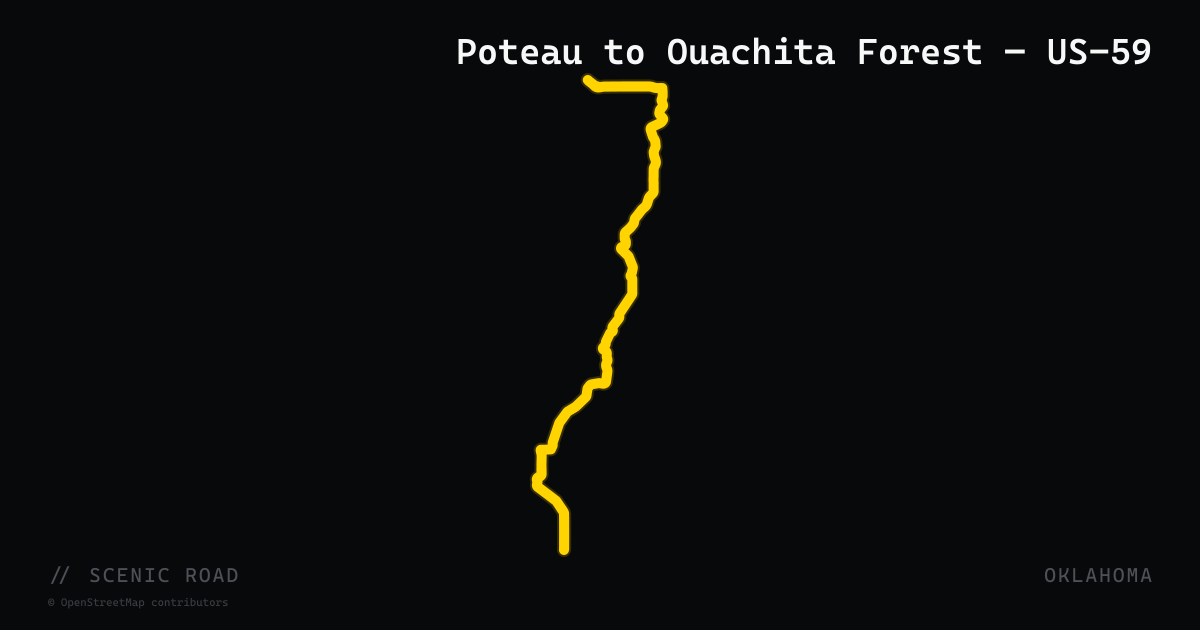
scenic road · oklahoma
Poteau to Ouachita Forest — US-59
US-59 south of Poteau in Le Flore County winds into the Ouachita National Forest, passing Cavanal Hill — at 1,999 feet billed as the world's highest hill (one foot short of official mountain classification). The highway descends through forested hollows and ridge cuts before connecting to the Talimena Byway (OK-1) to the west. Multiple motorcycle touring sources characterize this stretch as 'one of the most motorcycle-friendly stretches of highway in the country' for its combination of fast sweepers, elevation change, and near-total absence of commercial traffic through the national forest.
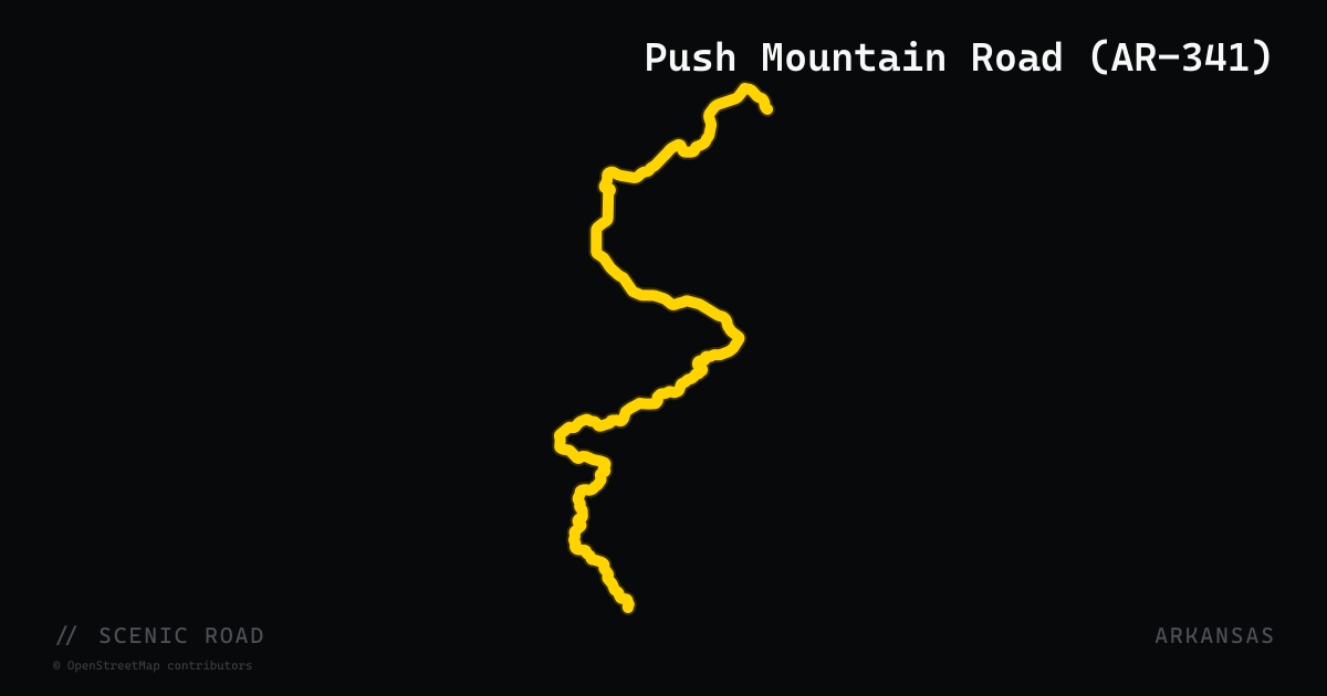
scenic road · arkansas
Push Mountain Road (AR-341)
Often called "Arkansas's Dragon," AR-341 packs well over a hundred curves into roughly 24 miles between AR-201 south of Mountain Home and AR-14 near Big Flat. Good pavement, open sightlines, and very little traffic make it the state's standout technical road.
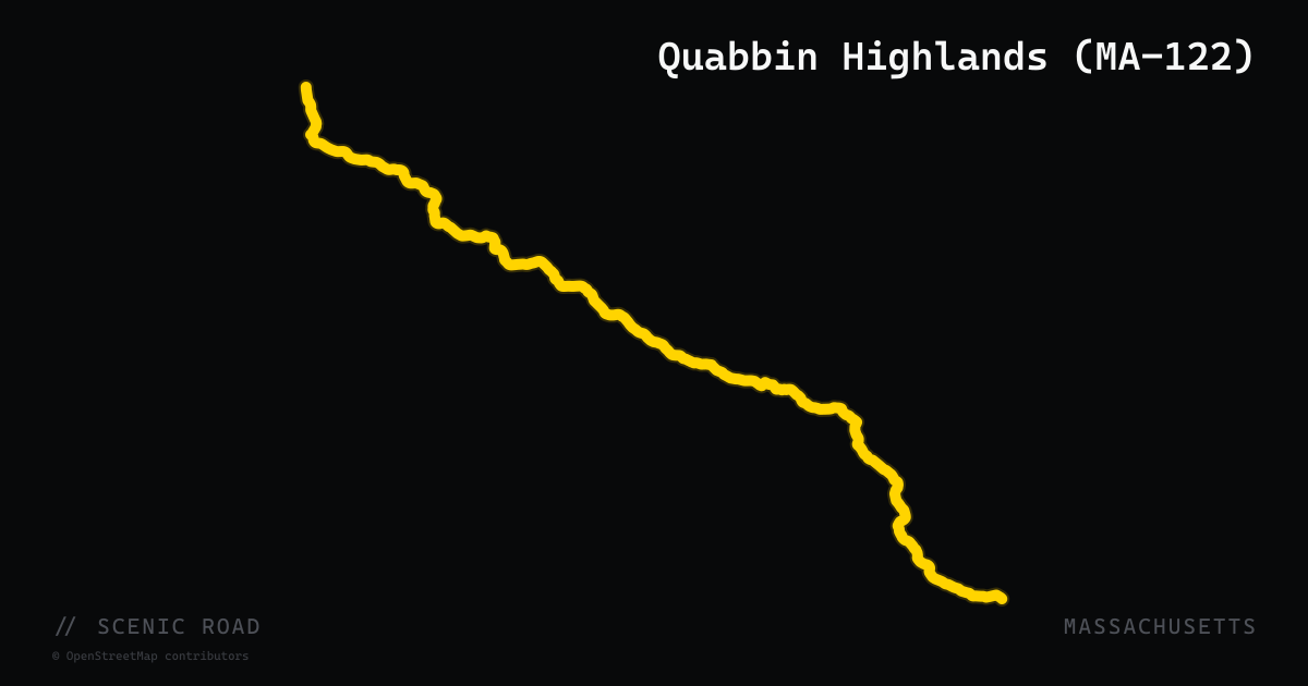
scenic road · massachusetts
Quabbin Highlands (MA-122)
A 40-mile route on MA-122 from Worcester north through Paxton, Rutland, Oakham, Barre, Petersham, New Salem, and Orange, forming the eastern leg of the classic Quabbin Reservoir loop ride. The road passes through forests and farmland flanking the former Swift River Valley — the drowned townships inundated in the 1930s to create Quabbin Reservoir — with tree-lined stretches, creeks, and lake views. Exceptionally well-maintained pavement. Western Massachusetts Scenic Byways designates it as a named byway. Watch for morning fog in low-lying stretches near the Swift River.
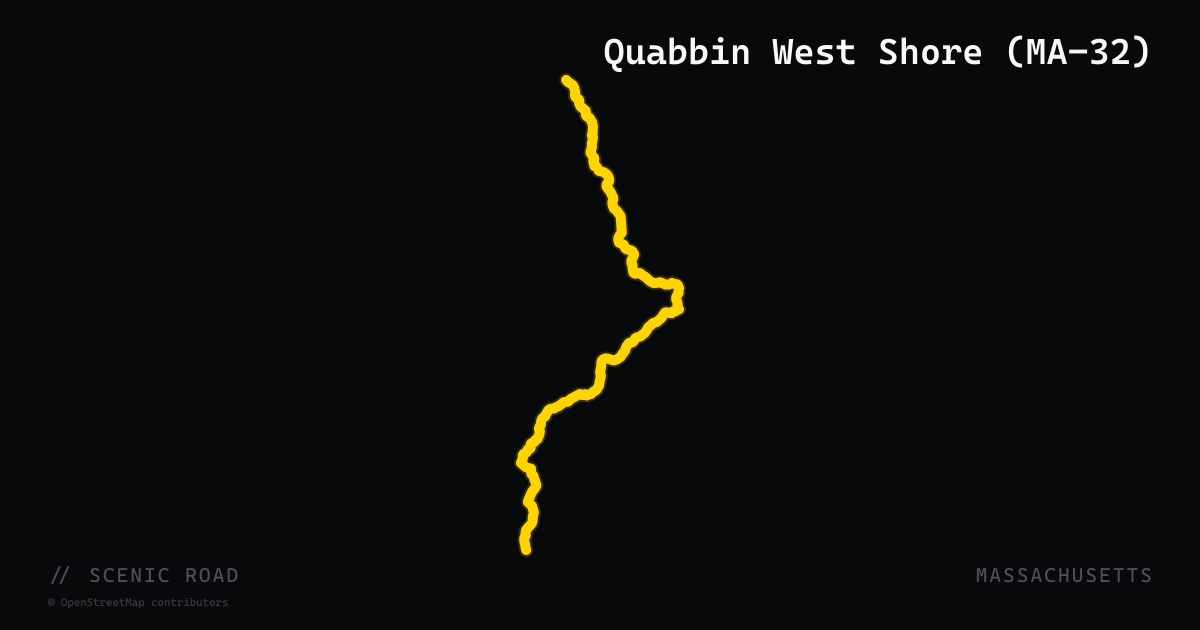
scenic road · massachusetts
Quabbin West Shore (MA-32)
Route 32 runs 61 miles from the Connecticut line in Monson north through Palmer, Ware, Petersham, and Athol to the New Hampshire line in Royalston. The stretch north of Ware through Petersham and Athol forms the western side of the Quabbin Reservoir loop, pairing naturally with MA-122 to the east. Route 32A through Hardwick and Petersham is a popular alternate spur — a tight two-lane road through a nearly unbroken tunnel of trees with rolling, slow corners. Together MA-32 and MA-122 describe a 54-mile reservoir loop that is rated five stars for scenery on motorcycleroads.com.
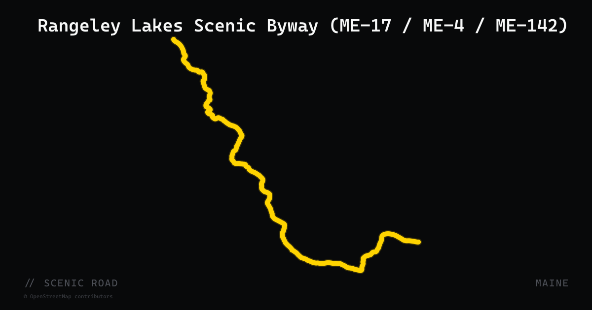
scenic road · maine
Rangeley Lakes Scenic Byway (ME-17 / ME-4 / ME-142)
A 35.6-mile National Scenic Byway through western Maine's lake-and-mountain country, officially following ME-4 and ME-17 around the Rangeley Lakes basin. Designated June 15, 2000, the route traverses the ridgeline of the Appalachian Mountains before dropping into rolling hills and valleys. ME-17 from the south delivers sustained curves and continuous elevation change, cresting at Height of Land — one of the most celebrated overlooks in the Northeast — with panoramic views of Mooselookmeguntic Lake and surrounding peaks. The full motorcycle loop (including ME-142 from Dixfield) runs approximately 88 miles with stops at Coos Canyon and Smalls Falls along the way.
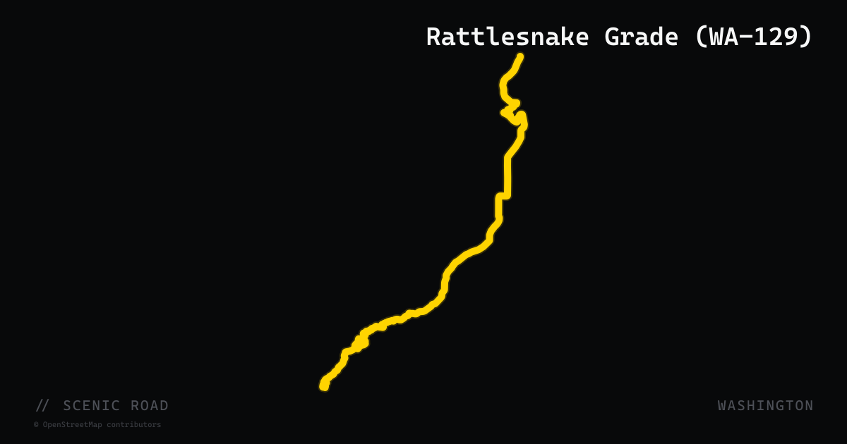
scenic road · washington
Rattlesnake Grade (WA-129)
WA-129 runs 43 miles south from Clarkston through the Snake River canyon and up Rattlesnake Grade — nine switchbacks climbing 840 feet in under 4 miles from the canyon floor to the Asotin County plateau — before continuing to the Oregon state line at Anatone where it becomes OR-3. The American Motorcyclist Association has named this corridor one of the top 15 motorcycle rides in America. The route delivers canyon walls, wheat-field ridges, and the Joseph Canyon Overlook with views into the historic Nez Perce winter homelands. Very low traffic throughout.
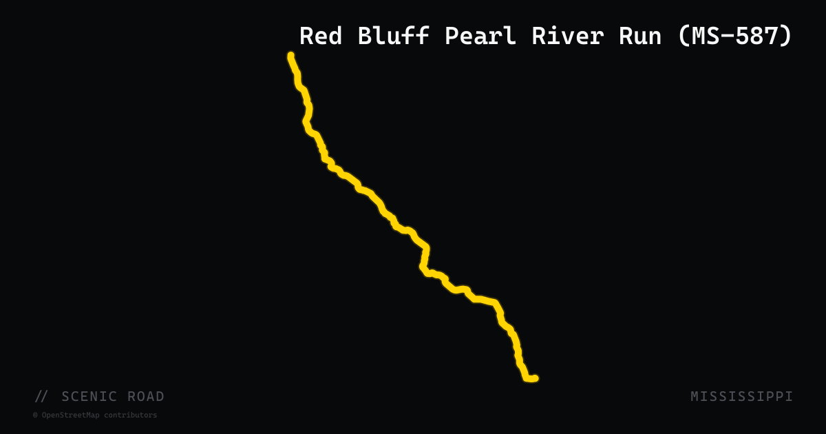
scenic road · mississippi
Red Bluff Pearl River Run (MS-587)
MS-587 runs approximately 30 miles north-south through Marion and Lawrence counties, beginning at US-98 near Foxworth and ending at MS-184 in Monticello. The road parallels and crosses the Pearl River through hilly, wooded terrain earning it the nickname 'The Secret Pearl River Run.' Near Morgantown it skirts Red Bluff — a 200-foot clay escarpment eroded by the Pearl River and locally called Mississippi's 'Little Grand Canyon' — the most dramatic geologic landform in the state. The highway is twisty with elevation change, blind curves, and no amenities; riding it early avoids weekend traffic.
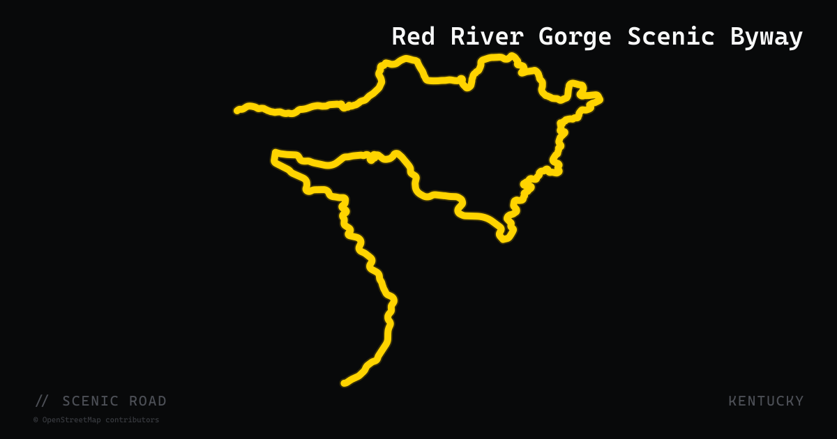
scenic road · kentucky
Red River Gorge Scenic Byway
A roughly 40-mile loop on KY-15, KY-77, and KY-715 through Daniel Boone National Forest from the Slade and Pine Ridge area, passing the historic one-lane Nada Tunnel and the Sky Bridge natural arch. Narrow forest pavement with sandstone cliffs and arches around nearly every bend.
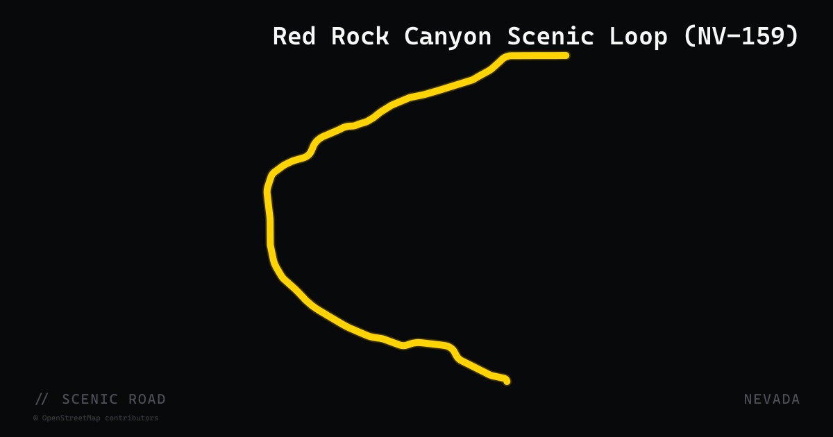
scenic road · nevada
Red Rock Canyon Scenic Loop (NV-159)
Nevada State Route 159 (Blue Diamond Road) provides access to the 13-mile one-way Scenic Loop Drive inside Red Rock Canyon National Conservation Area, 17 miles west of the Las Vegas Strip in Clark County. The loop passes beneath the Calico Hills — bands of red, orange, and cream Aztec sandstone rising up to 3,000 feet — with 13 named pullouts, self-guided nature trails, and picnic areas. The road surface is smooth, with a moderate climbing section followed by a mostly flat-to-downhill return. Timed-entry reservations are required October through May. The full NV-159 corridor from Las Vegas through Blue Diamond adds sweeping desert curves on either approach.
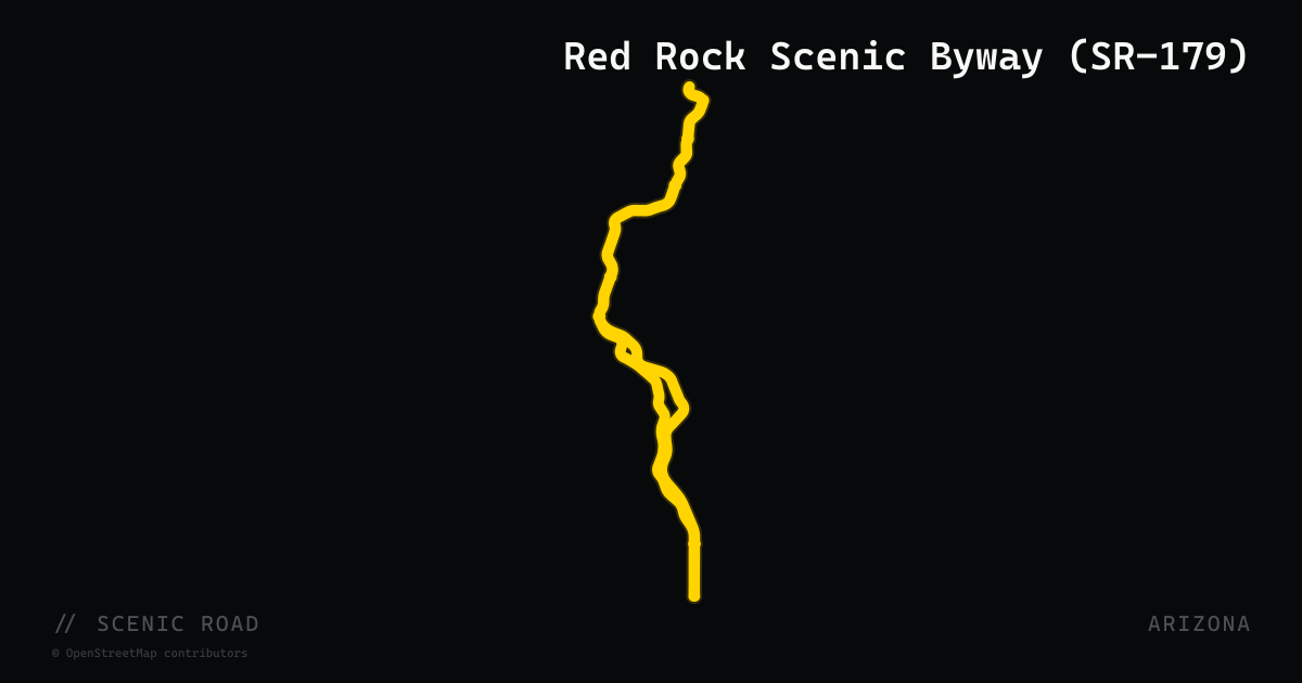
scenic road · arizona
Red Rock Scenic Byway (SR-179)
Arizona State Route 179 is a 10-mile All-American Road — the USDOT's highest scenic designation — running from Interstate 17 north through the Village of Oak Creek into Sedona. The route flows through the Coconino National Forest with sweeping curves past Bell Rock, Courthouse Butte, and Cathedral Rock, with towering red sandstone formations lining both sides of the road. The road was fully rebuilt in 2009 with roundabouts replacing traffic signals, dramatically improving flow for motorcycles. Numerous pull-outs serve popular trailheads. SR-179 is typically ridden as part of a Sedona loop with SR-89A, entering from the south on 179 and exiting north through Oak Creek Canyon.
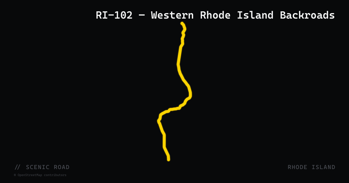
scenic road · rhode island
RI-102 — Western Rhode Island Backroads
A rural north-south beltway running roughly 50 miles from Wickford (North Kingstown) to Slatersville (North Smithfield), threading through the least-developed interior of the state. The road passes through Foster, Scituate, and Glocester — skirting the Scituate Reservoir, Flat River Reservoir, Westconnaug Reservoir, Audubon's George Parker Woodland Wildlife Refuge, and Ponaganset Falls. The segment through Foster and Scituate (Chopmist Hill Road) is consistently highlighted for twisting wooded stretches and a near-total absence of commercial development. Frequently ridden as part of a western Rhode Island loop combined with US-44 through Glocester.
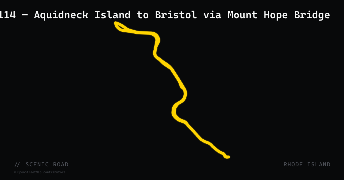
scenic road · rhode island
RI-114 — Aquidneck Island to Bristol via Mount Hope Bridge
The southern stretch of Route 114 — from Middletown north through Portsmouth and across the two-lane Mount Hope Bridge (suspension, 1929) to Bristol — is the segment prized by riders. The Portsmouth section runs through rural Aquidneck Island farmland before the bridge crossing over Mount Hope Bay. In Bristol, the road becomes Hope Street, famous for its patriotic red-white-and-blue center stripe (marking the oldest continuously run Fourth of July parade in the U.S., since 1777). The route passes Colt State Park (464 acres on Narragansett Bay) and Blithewold mansion before continuing north through Warren and Barrington.
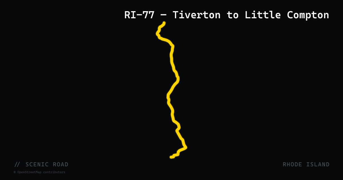
scenic road · rhode island
RI-77 — Tiverton to Little Compton
A 14-mile north-south run through one of Rhode Island's quietest corners, paralleling the Sakonnet River tidal channel on its western flank. The road threads past stone-wall-bounded farms, salt marshes, Tiverton Four Corners (18th-century village), Sakonnet Vineyards, and the Emilie Ruecker Wildlife Refuge before reaching the southern terminus near Sakonnet Point and its 1884 lighthouse. Traffic is minimal on weekdays and the pavement is generally smooth. Consistently ranked among RI's best motorcycle roads for pastoral scenery and low-stress riding.
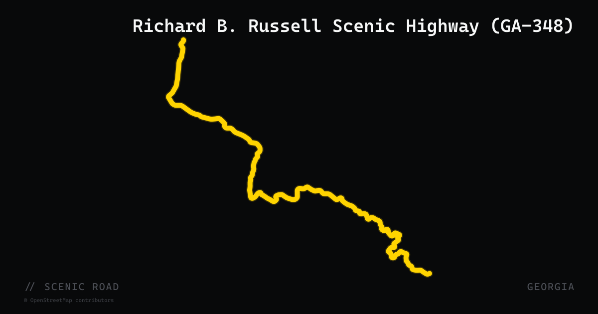
scenic road · georgia
Richard B. Russell Scenic Highway (GA-348)
GA-75 Alt to GA-180 near Choestoe, 23 mi (40-mi loop with the full Russell-Brasstown Byway). Perfect-radius curves, perfect pavement, Hogpen Gap (~3,500 ft). **One of the finest rider's roads in the Southeast.**
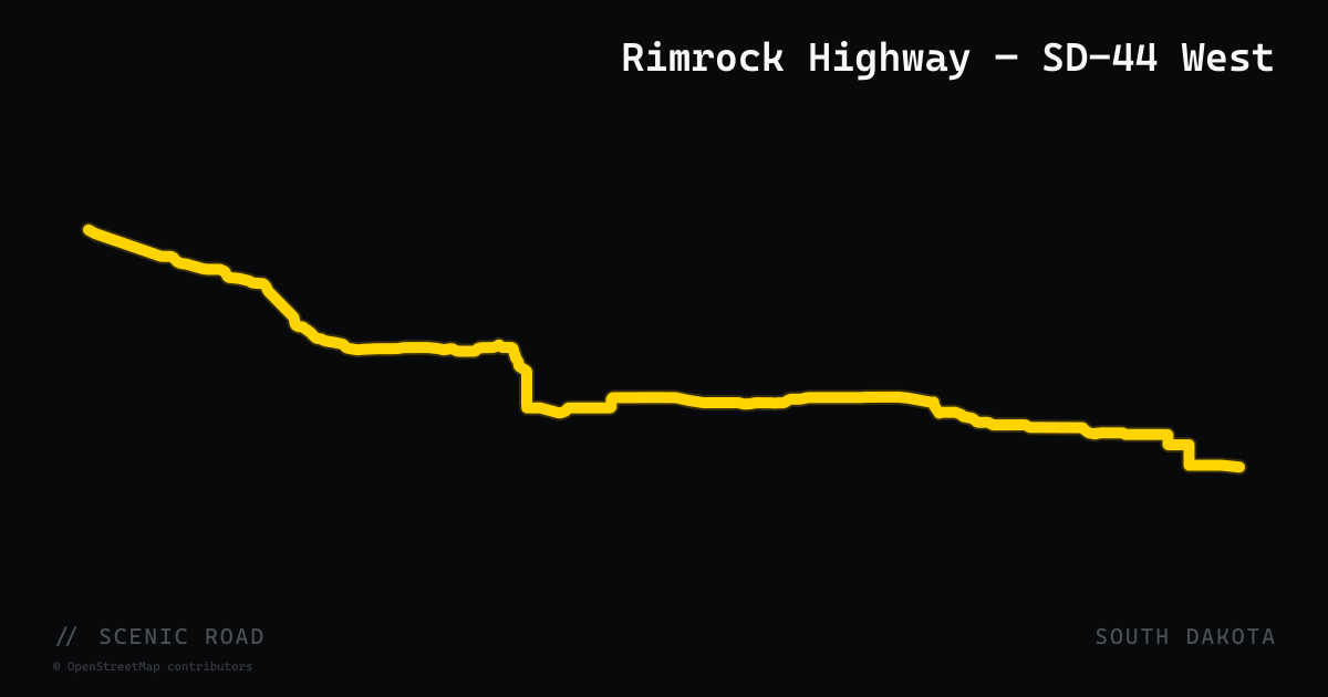
scenic road · south dakota
Rimrock Highway — SD-44 West
The western Black Hills segment of South Dakota Highway 44, running approximately 16 miles from Rapid City westward to US-385. Known locally as the Rimrock Highway, this stretch climbs from Rapid City's 3,400 ft elevation to nearly 4,500 ft through limestone canyon walls with continuous twists, elevation changes, and forested terrain in Black Hills National Forest. Less trafficked than the Peter Norbeck corridors except during the Sturgis Rally; passes Pactola Reservoir and access to Buzzard's Roost overlook.
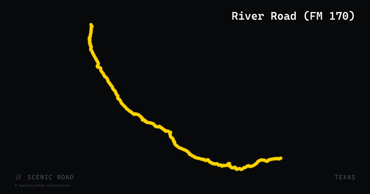
scenic road · texas
River Road (FM 170)
Presidio to Study Butte/Terlingua via Lajitas, ~118 mi total (~50 mi premier twisty section). The most scenic road in Texas, along the Rio Grande through Big Bend Ranch SP — steep climbs ("the Big Hill"), tight roller-coaster curves, Mexico across the river.
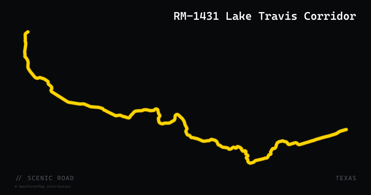
scenic road · texas
RM-1431 Lake Travis Corridor
Ranch to Market Road 1431 stretches 47 miles from Cedar Park west to Marble Falls (and continues to Kingsland), running along the north shore of Lake Travis through the Balcones Canyonlands of the Hill Country. The section between Lago Vista and Marble Falls is the most prized motorcycle stretch: after Lago Vista, RM-1431 narrows to two lanes and delivers sweeping elevation changes, long high-speed curves, and broad Edwards Plateau views with minimal development. The road passes the edge of Balcones Canyonlands National Wildlife Refuge. Speed limits are 55 mph and are actively enforced. The Cedar Park to Lago Vista section is wider and busier but still scenic.
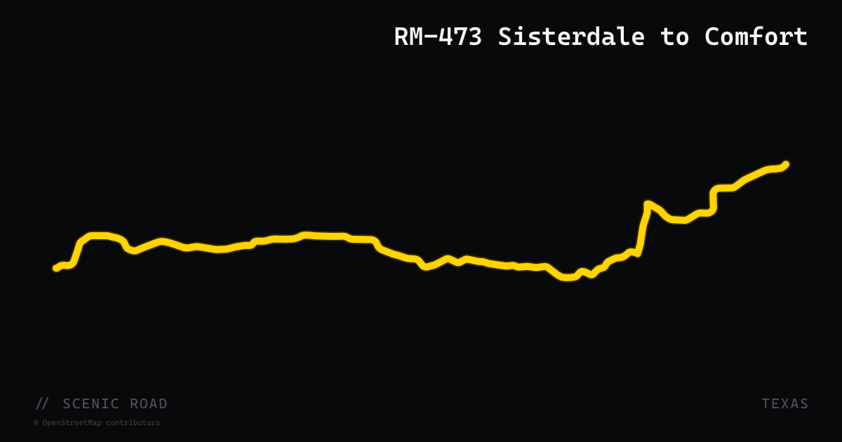
scenic road · texas
RM-473 Sisterdale to Comfort
Ranch to Market Road 473 is a 39-mile road in Kendall and Blanco counties linking US-281 south of Twin Sisters in the east to US-87 at Comfort in the west, passing through the small settlement of Sisterdale on the Guadalupe River. The western portion from Sisterdale to Comfort follows easy sweeping curves through cedar-and-live-oak hill country before dropping into Comfort, a community with nearly 100 documented historic buildings and a well-preserved 19th-century business district. The road sees light traffic and is suitable for all skill levels. Comfort offers food stops at multiple cafes and a walkable historic downtown for a mid-ride break.
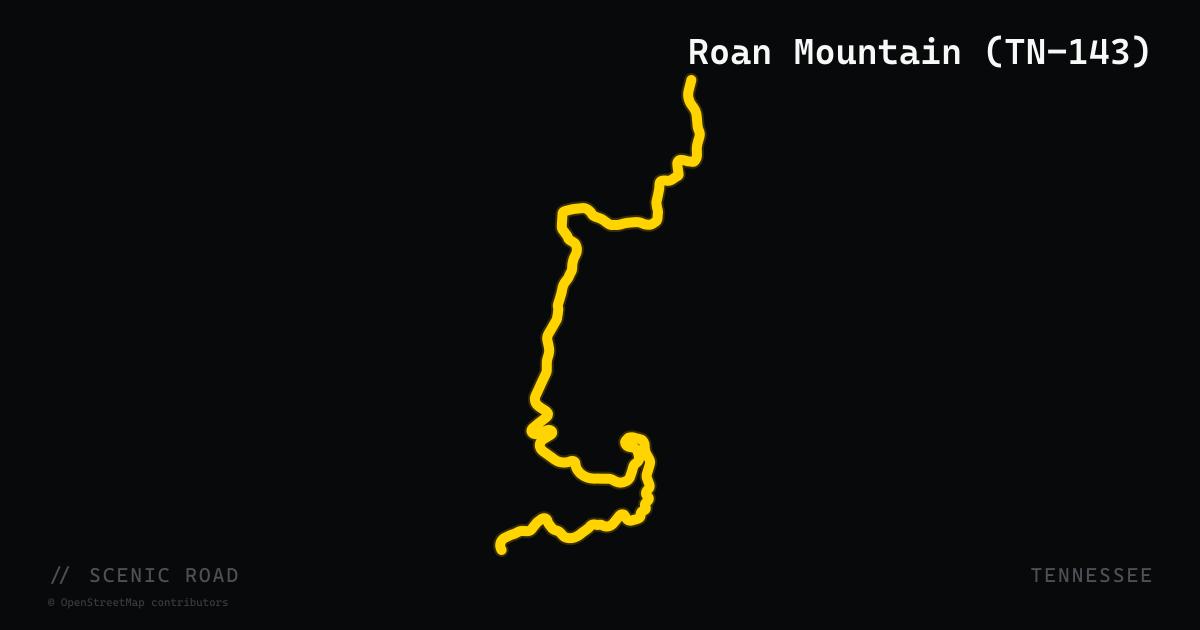
scenic road · tennessee
Roan Mountain (TN-143)
Tennessee State Route 143 is a 12.5-mile mountain highway climbing through Cherokee National Forest and Roan Mountain State Park to Carvers Gap at 5,512 feet on the Tennessee–North Carolina state line. The road ascends from the Roan Mountain community through dense spruce-fir forest, growing progressively steeper and curvier past Hidden Creek before delivering a series of technical twists near the summit. From Carvers Gap riders can continue into North Carolina on NC-261, making the combined route a 25-mile mountain crossing widely described as one of the curviest rides in the Southeast. Rhododendron bloom in late June draws additional traffic.
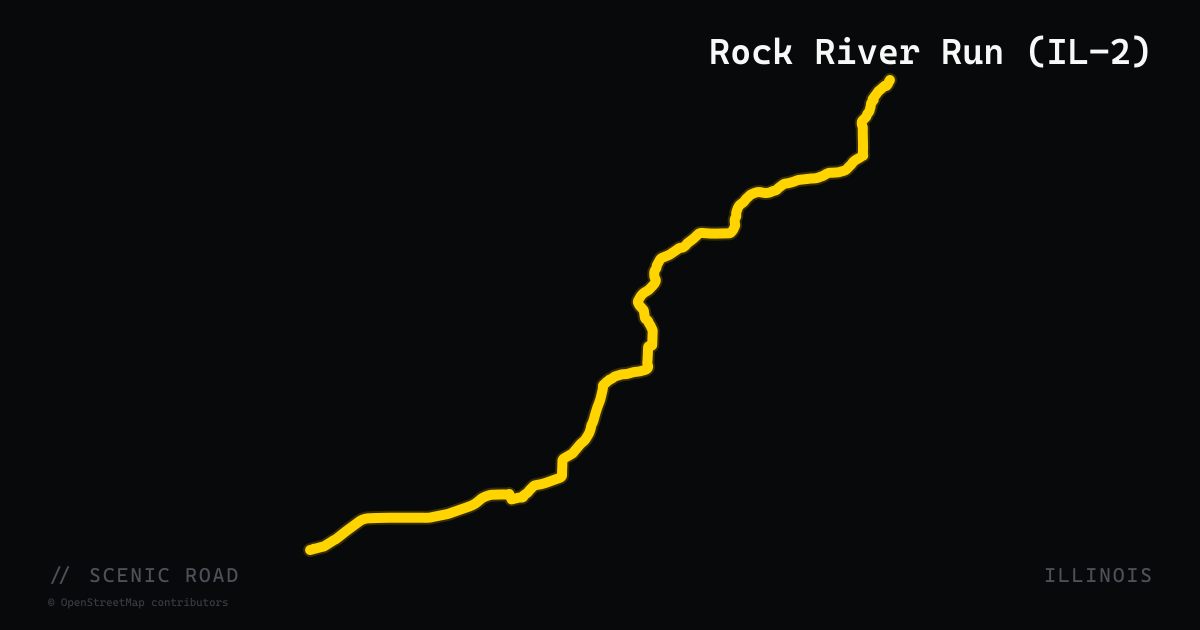
scenic road · illinois
Rock River Run (IL-2)
Illinois Route 2 follows the Rock River for 39 miles between Rockford and Dixon through northwestern Illinois, passing Castle Rock State Park's limestone bluffs, the historic village of Grand Detour (where IL-2 crosses the river), and the town of Oregon near Ogle County's bluff-top park. The road is wooded, largely flat to gently rolling, and hugs the riverbank closely enough that the water is visible through the tree line for much of the route. Castle Rock State Park's bluff views — about 3 miles south of Oregon — are the scenic high point. Light traffic on weekdays makes it a smooth cruiser-pace road.
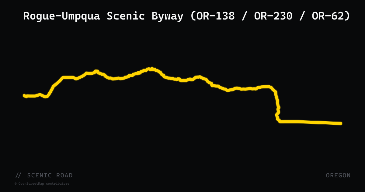
scenic road · oregon
Rogue-Umpqua Scenic Byway (OR-138 / OR-230 / OR-62)
The Rogue-Umpqua Scenic Byway is a 167-mile route through the southern Oregon Cascades nicknamed the "Highway of Waterfalls," featuring more than 15 cascades including Toketee Falls and the 272-foot Watson Falls. The route begins on OR-138 east of Roseburg, follows the North Umpqua River into the Umpqua National Forest, passes Diamond Lake (framed by 9,200-ft Mount Thielsen), then transitions to OR-230 along the Upper Rogue River and OR-62 south to Medford. The road is sweeping and scenic with cool shade through national forest for most of its length, making it one of the premier multi-hour motorcycle routes in southern Oregon.
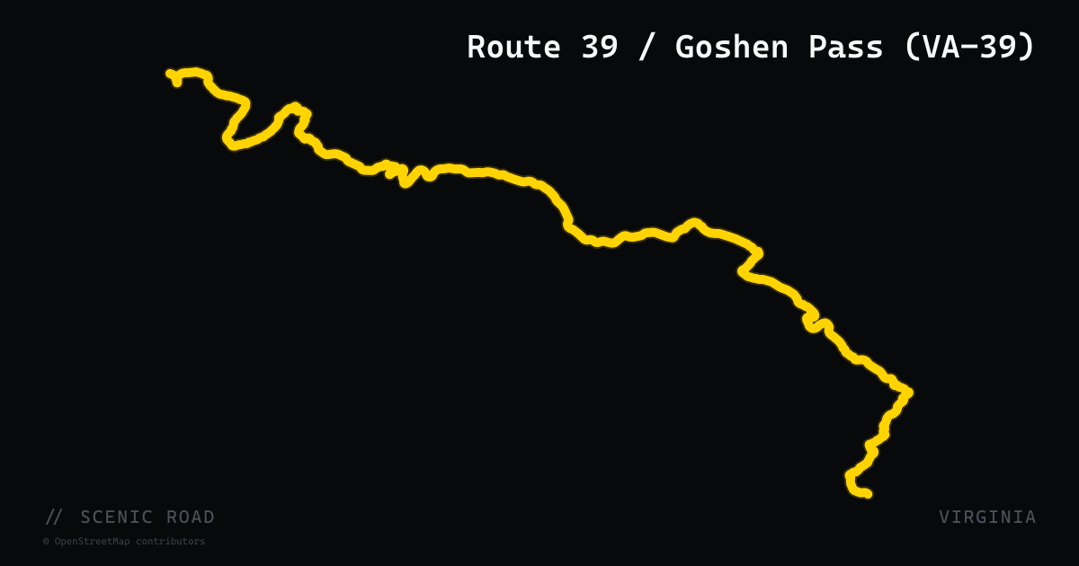
scenic road · virginia
Route 39 / Goshen Pass (VA-39)
VA-39 runs from the Lexington area to the West Virginia line through George Washington National Forest, highlighted by the three-mile Goshen Pass gorge cut by the Maury River. The ride continues across the state line as WV-39 toward Marlinton, and pairs well with a stop in Warm Springs.
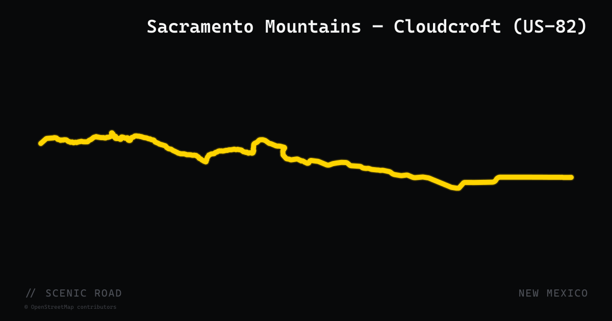
scenic road · new mexico
Sacramento Mountains — Cloudcroft (US-82)
US-82 climbs from the Chihuahuan Desert floor at Alamogordo (4,350 feet) to the summit village of Cloudcroft (8,650 feet) in 16 miles — a 4,300-foot elevation gain through tight switchbacks in the Sacramento Mountains of Lincoln National Forest. The ascent passes through the Mexican Canyon, where the 1899 Mexican Canyon Trestle (a 97-foot curved railroad bridge on the National Register of Historic Places) is visible from a USFS overlook. At the summit, Cloudcroft is a Victorian-era resort village with pine-shaded streets and clear views west across the White Sands basin. The full corridor from Artesia to Alamogordo covers 109 miles of varied terrain.
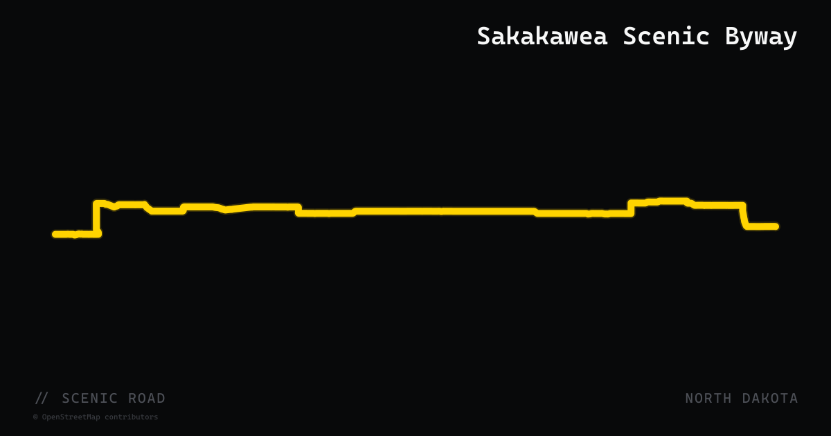
scenic road · north dakota
Sakakawea Scenic Byway
A 23-mile official North Dakota state scenic byway on ND-200A linking Washburn and Stanton along the Missouri River valley. The route follows the riverway explored by Lewis and Clark in 1804–06 and passes Fort Clark State Historic Site, the site of the Mandan and Hidatsa villages where the expedition wintered and Sakakawea joined. The road delivers sweeping views of the Missouri River valley floor and the Lake Sakakawea reservoir — relatively rare open-water vistas for a plains state. Short total distance makes it a natural add-on loop from Bismarck or when connecting to the Killdeer Mountain Four Bears Byway to the west.
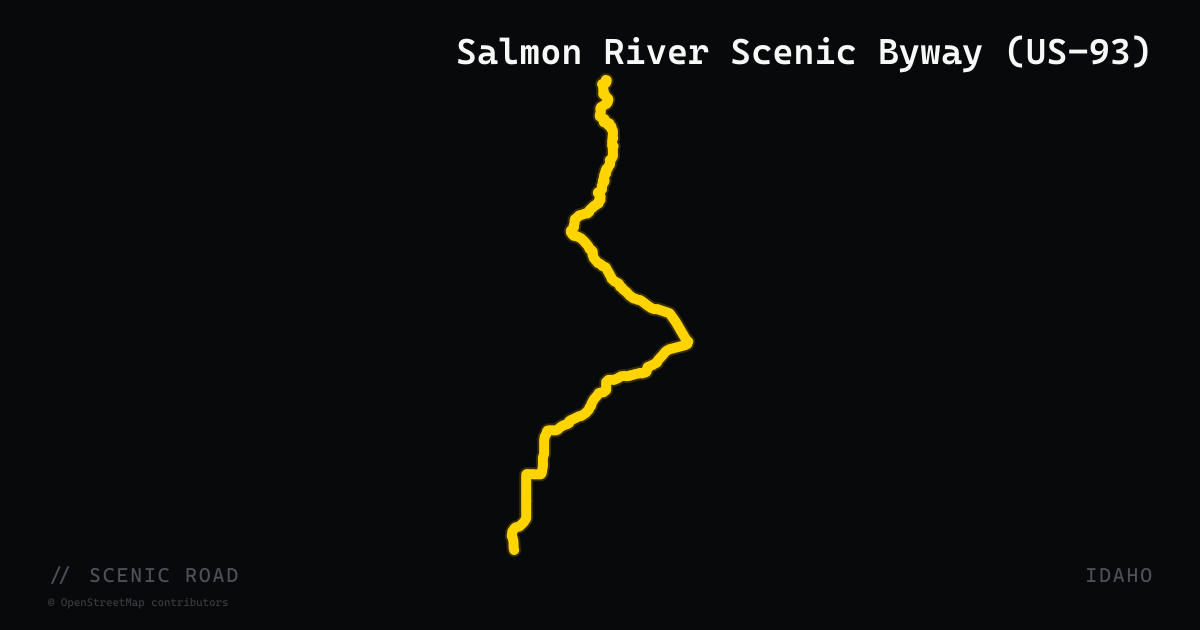
scenic road · idaho
Salmon River Scenic Byway (US-93)
A 163-mile corridor following US-93 south from Lost Trail Pass on the Montana border (elevation 6,995 ft) through Salmon and down to Challis, then continuing on ID-75 west to Stanley. The entire route hugs the Wild and Scenic Salmon River through rugged Salmon-Challis National Forest terrain. The US-93 segment from Lost Trail Pass to Challis is roughly 100 miles of wide-open river canyon riding past ghost towns, hot springs, and the Salmon-Challis National Forest. Services available in Salmon, Challis, and Stanley.
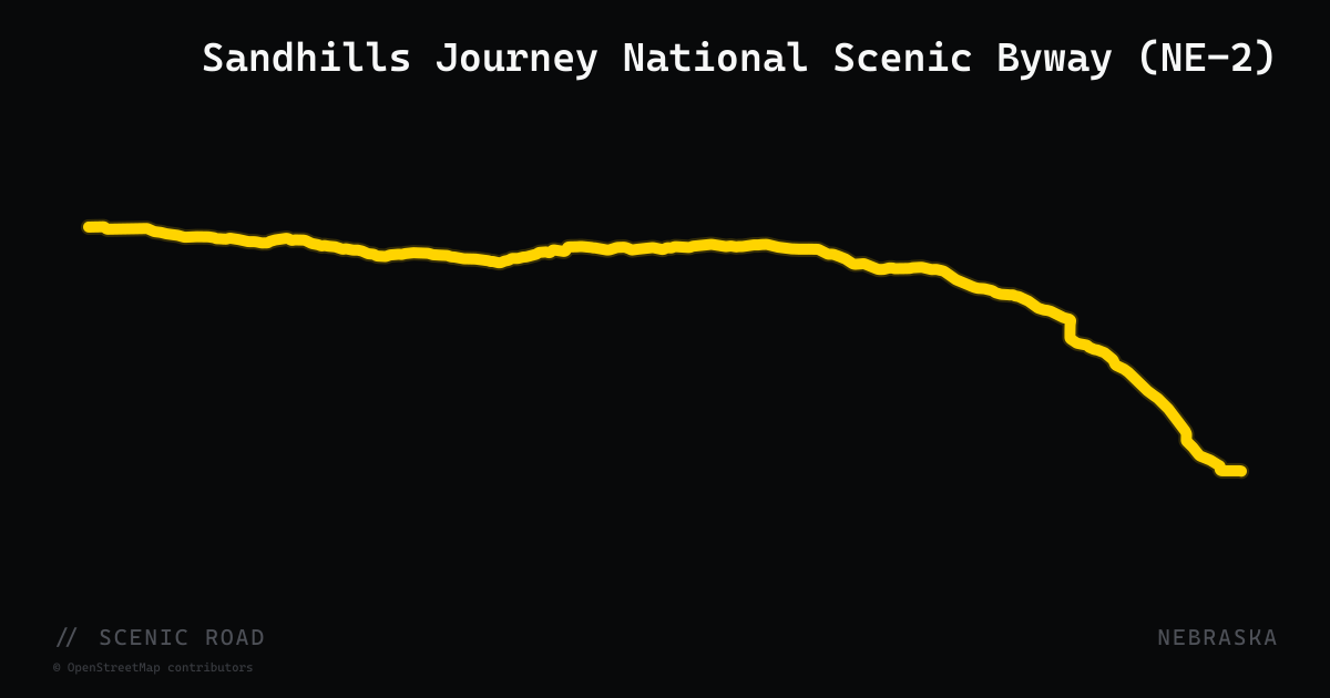
scenic road · nebraska
Sandhills Journey National Scenic Byway (NE-2)
NE-2 runs 272 miles from Grand Island to Alliance across the largest stabilized sand dune field in the Western Hemisphere, with long banked turns that follow the dune terrain. The scenery improves dramatically west of Broken Bow; plan fuel stops, as towns are far apart.
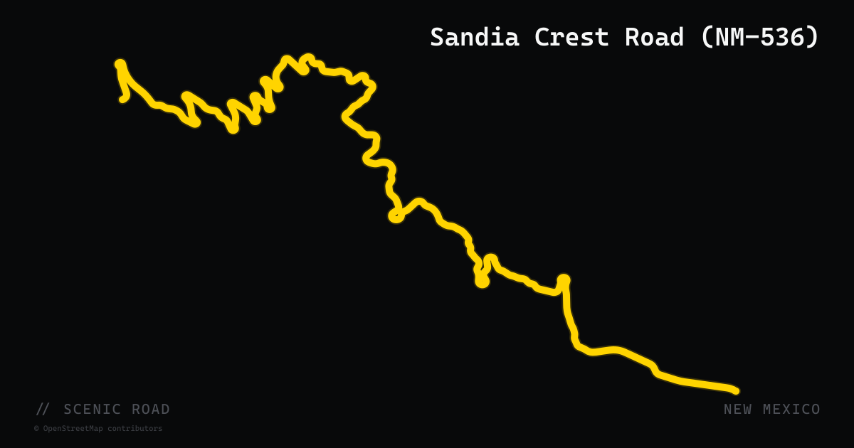
scenic road · new mexico
Sandia Crest Road (NM-536)
Sandia Park to Sandia Crest summit, 13.6 mi. Climbs ~4,000 ft from desert to 10,678 ft with ~120 tight turns including numerous 180° hairpins. NM's closest answer to Tail of the Dragon — short but intensely technical. Recently resurfaced.
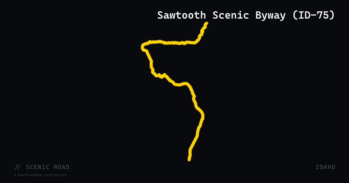
scenic road · idaho
Sawtooth Scenic Byway (ID-75)
Shoshone to Stanley, ~117 mi. Galena Summit (8,701 ft), Sun Valley/Ketchum.
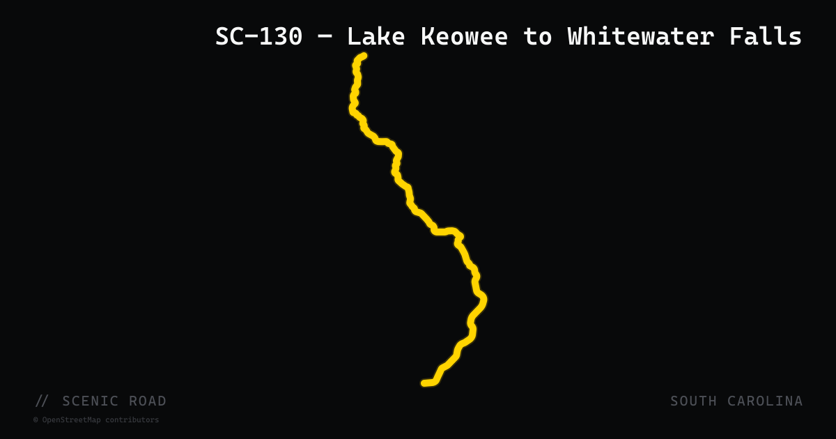
scenic road · south carolina
SC-130 — Lake Keowee to Whitewater Falls
SC-130 runs 30 miles through Oconee County, beginning near Seneca and traveling north along the eastern edge of Lake Keowee before terminating at the North Carolina state line near the Whitewater Falls recreation area. Where it crosses into NC it becomes NC-281, which leads to Upper Whitewater Falls — at 411 feet, the tallest cascade east of the Rocky Mountains. The road is a two-lane paved byway and part of the South Carolina Heritage Corridor Discovery Route. It passes through the communities of Newry and Salem and skirts the scenic western shoreline of Lake Jocassee as it nears the border. Light traffic and consistent mountain scenery make it a favorite pairing with SC-107 or SC-11 on a Upstate loop.
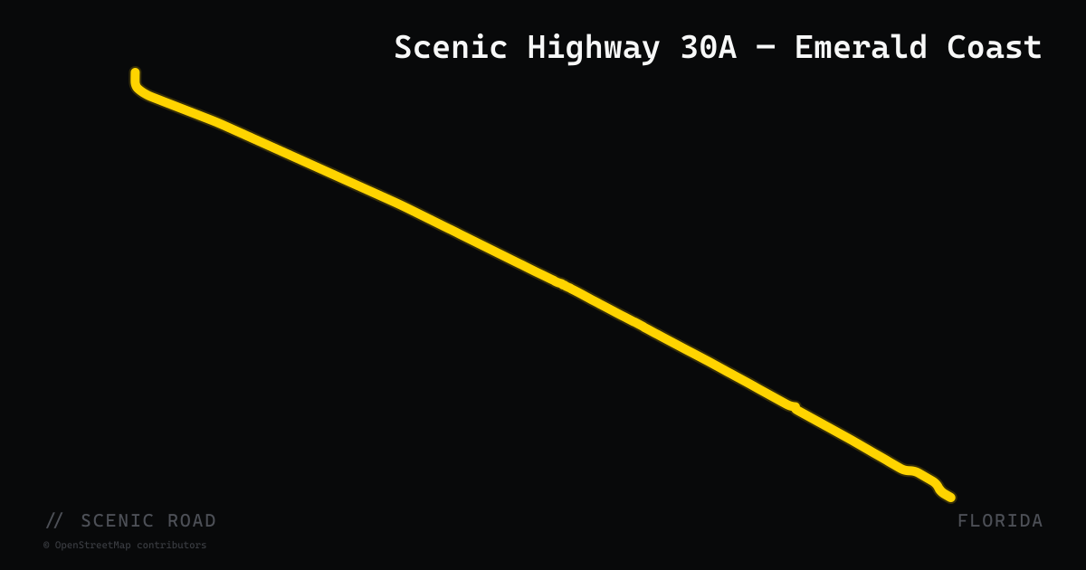
scenic road · florida
Scenic Highway 30A — Emerald Coast
An 18.6-mile two-lane coastal road in Walton County along the Gulf of Mexico between Destin and Panama City Beach, threading through 16 beach communities including Grayton Beach, Seaside, WaterColor, Alys Beach, and Rosemary Beach. Designated a Florida State Scenic Highway. The road fronts 15 rare coastal dune lakes — a geologic feature found in only a few places in the world. Speed limits run 35–45 mph through the villages. Not a fast road — it's a slow cruise through one of the most architecturally distinctive stretches of Gulf Coast shoreline, with white-sand beaches, emerald water, and consistent pull-outs. Originally County Road 30A (deeded to Walton County in 1977).
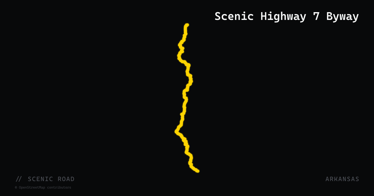
scenic road · arkansas
Scenic Highway 7 Byway
Arkansas's first National Scenic Byway, with its celebrated stretch running about 160 miles from Hot Springs to Harrison across both the Ouachita and Ozark National Forests. The route shown here follows the full AR-7 ref, which continues beyond the byway section toward both state lines.
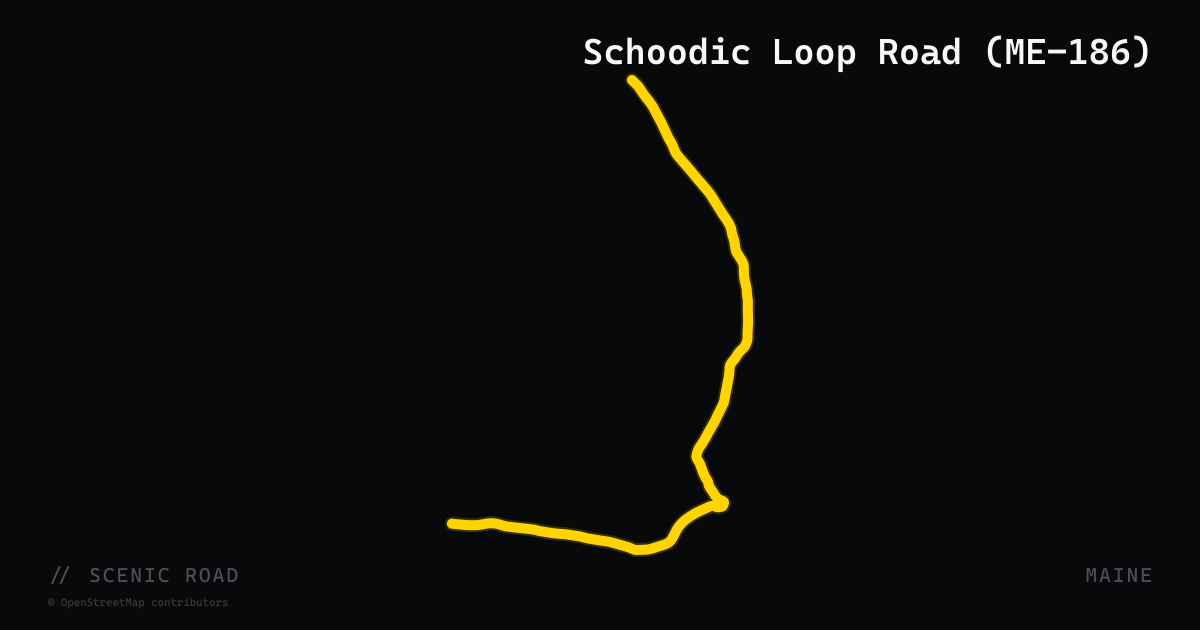
scenic road · maine
Schoodic Loop Road (ME-186)
An 11-mile one-way loop road through the Schoodic Peninsula section of Acadia National Park — the only part of Acadia on the mainland. The road begins and ends at ME-186 near Winter Harbor and Birch Harbor, running one-way clockwise along the rocky headlands of Frenchman Bay. This is 'the other Acadia': no entrance fee, dramatically less traffic than the main Park Loop Road on Mount Desert Island, and the same Acadia granite-and-spruce scenery with open ocean views. The peninsula sits roughly 45 minutes east of Bar Harbor via US-1 and ME-186. Schoodic Point at the loop's apex offers exposed headland with crashing surf.
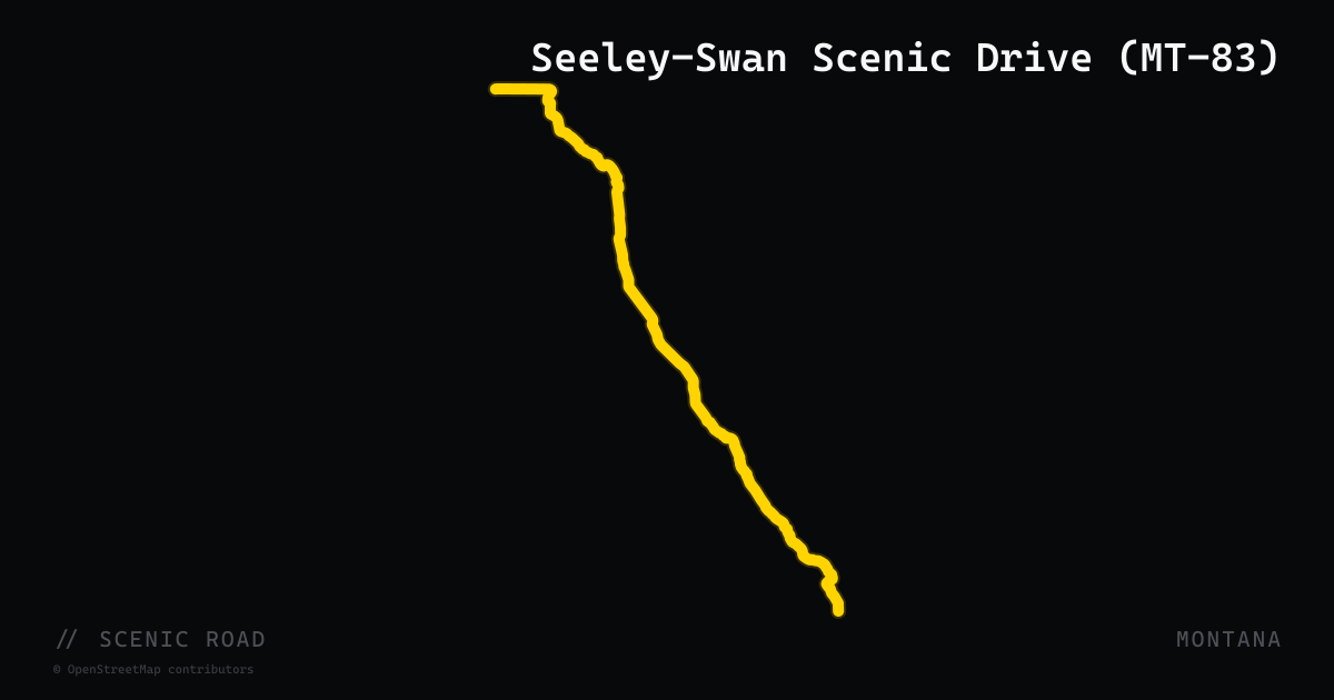
scenic road · montana
Seeley-Swan Scenic Drive (MT-83)
A 90-mile paved corridor along Montana Highway 83 through the Seeley-Swan Valley, running from Seeley Lake north to Swan Lake between the Mission Mountains Wilderness to the west and the Swan Range (Bob Marshall Wilderness) to the east. Hundreds of natural lakes dot the valley floor, and the road threads through dense conifer forest with minimal development. An official Montana Scenic Drive featured in Glacier Country motorcycle touring itineraries.
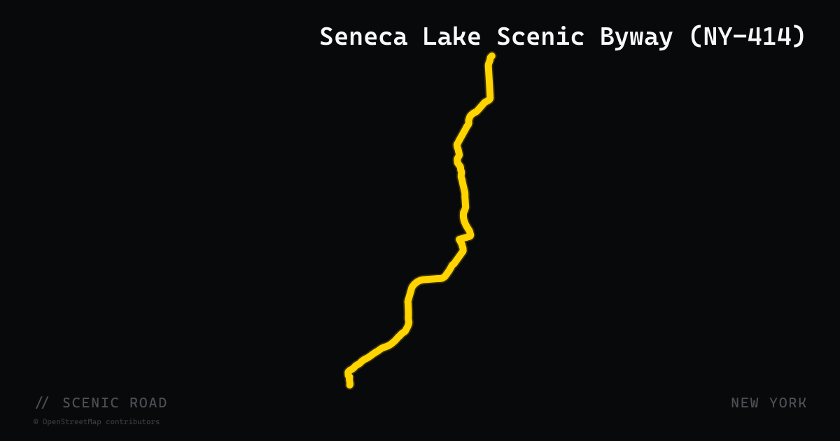
scenic road · new york
Seneca Lake Scenic Byway (NY-414)
New York State Route 414 runs 19 miles along the eastern shore of Seneca Lake — the largest of the Finger Lakes — from Watkins Glen north to Lodi, forming the official Seneca Lake Scenic Byway. The corridor passes through the heart of New York's wine country, bordered by more than 35 wineries and vineyards, with the lake visible through the vine rows to the west. Watkins Glen State Park anchors the southern terminus. The route pairs naturally with the western shore loop on NY-228 and NY-14 for a full lake circuit.
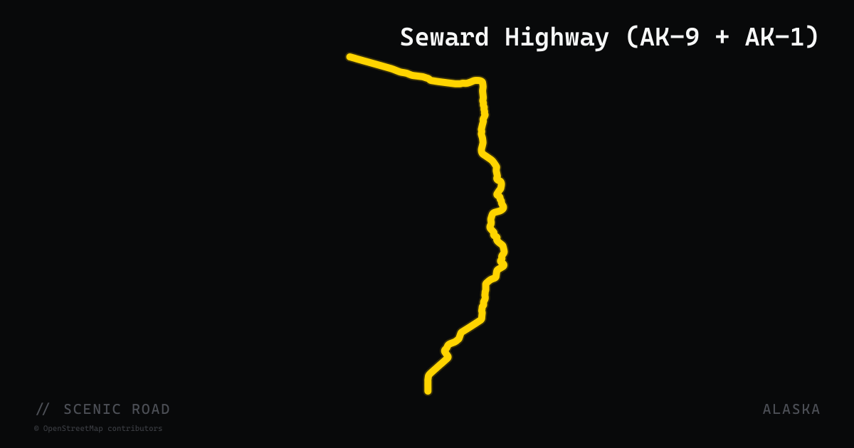
scenic road · alaska
Seward Highway (AK-9 + AK-1)
Anchorage to Seward, 127 mi. All-American Road along Turnagain Arm (beluga whales, Dall sheep) through Chugach NF. Best May–September.
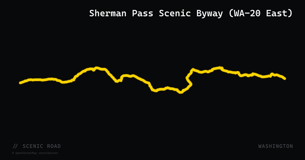
scenic road · washington
Sherman Pass Scenic Byway (WA-20 East)
The eastern segment of WA-20 runs 88 miles from Republic east over Sherman Pass (5,575 ft) — Washington's highest year-round maintained highway — through the Colville National Forest to Kettle Falls on the Columbia. This stretch is fully distinct from the North Cascades Highway (WA-20 west); the two segments do not directly connect. Designated the Sherman Pass Scenic Byway, the road features steep but paved grades, minimal traffic, and dense Colville National Forest scenery. An interpretive site at the summit provides wildfire history context for the 1988 White Mountain Fire that shaped the surrounding forest.
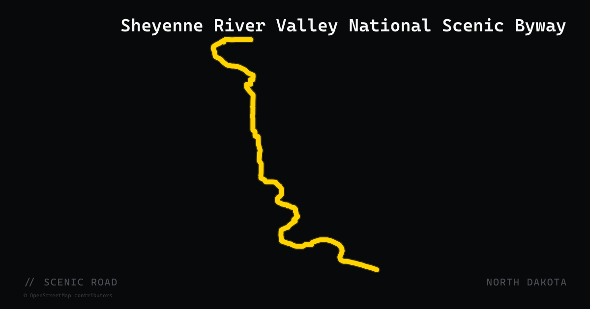
scenic road · north dakota
Sheyenne River Valley National Scenic Byway
A 63-mile paved byway from Valley City to Lisbon via Fort Ransom that follows the tree-lined Sheyenne River valley — a green, winding corridor through otherwise open North Dakota prairie.
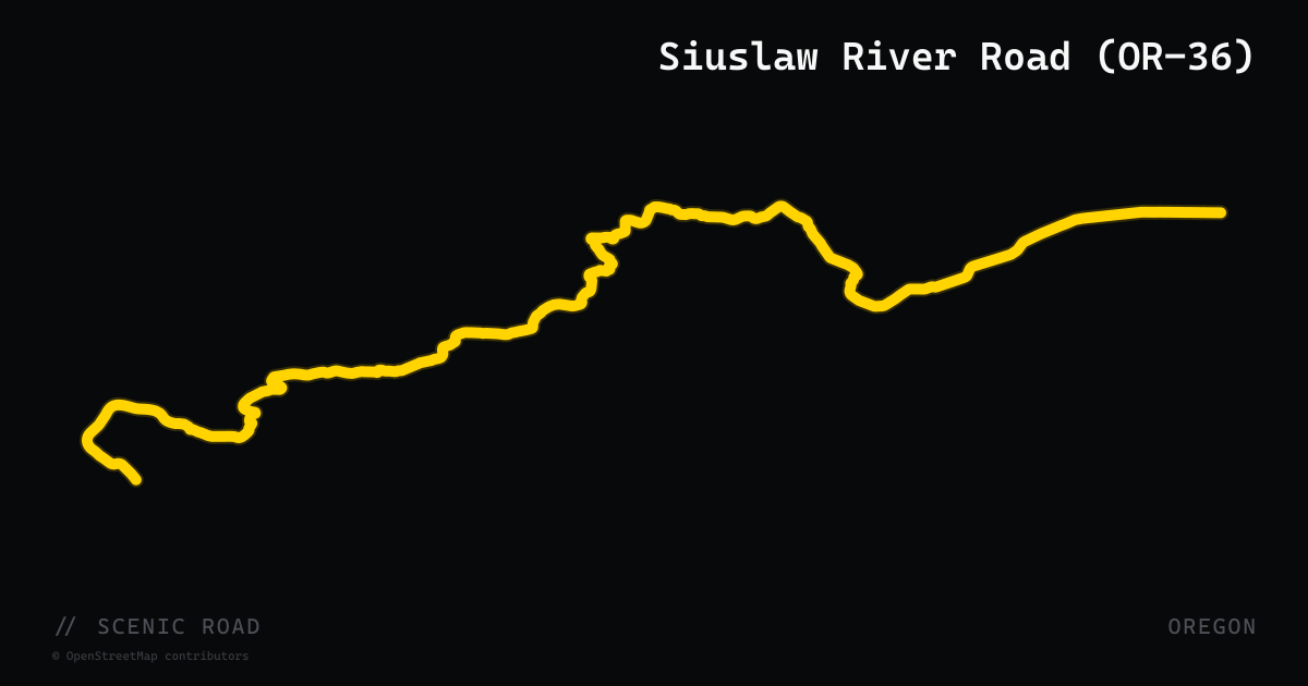
scenic road · oregon
Siuslaw River Road (OR-36)
Oregon Route 36 is a 52-mile two-lane highway through the Coast Range between Junction City in the Willamette Valley and Mapleton on the Siuslaw River, also known as the Mapleton-Junction City Highway. For most of its length the road follows the Siuslaw River through forested logging country and farmland in Lane County, delivering steady curves and light traffic. The route connects with OR-126 at Mapleton near the coast and offers a quieter alternative to the busier McKenzie River corridor for riders crossing between the valley and the coast.
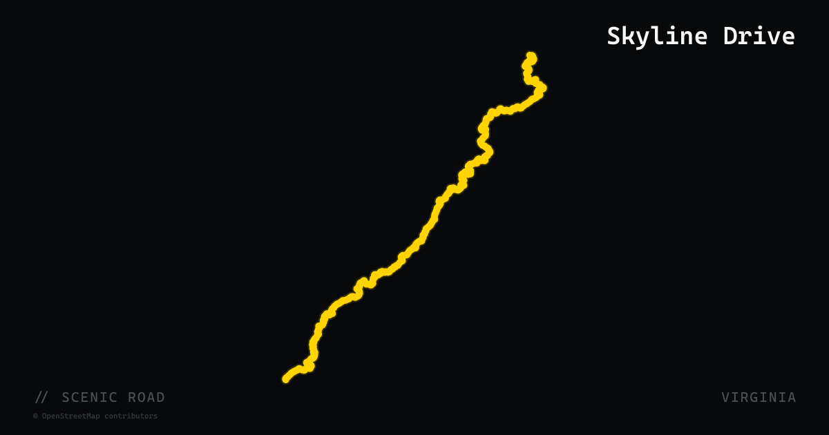
scenic road · virginia
Skyline Drive
105 miles of ridge-running through Shenandoah National Park — 75 overlooks, a 35 mph speed limit, and the eastern edge of the Blue Ridge Mountains for half a day.
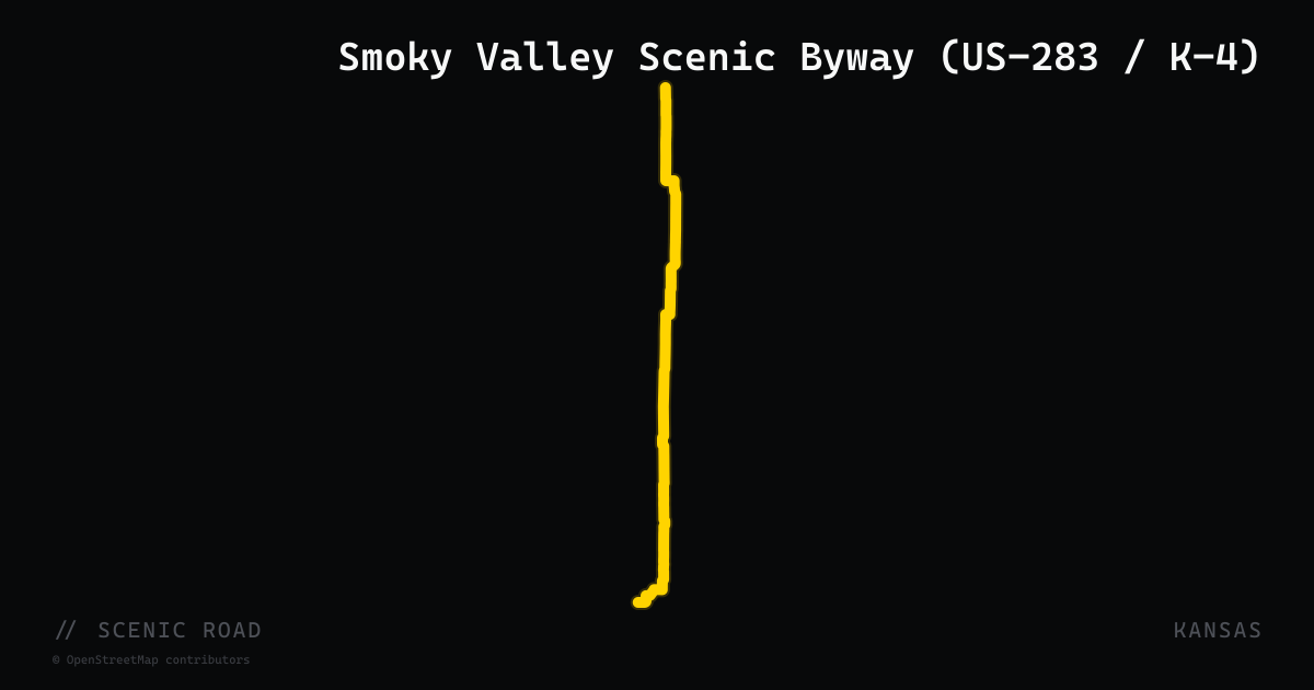
scenic road · kansas
Smoky Valley Scenic Byway (US-283 / K-4)
A 60-mile horseshoe-loop State Scenic Byway in Trego County running on US-283 south from WaKeeney, east on K-4 through Brownell, then north on K-177 back to I-70 near Ogallah. The route dips into the Smoky Hill River valley past Cedar Bluff State Park and Reservoir — the focal point of the byway — through rolling chalk bluffs and creek-cut terrain that sits between the High Plains to the west and the Smoky Hills to the east. Quiet two-lanes with minimal traffic and the reservoir as a natural turnaround point.
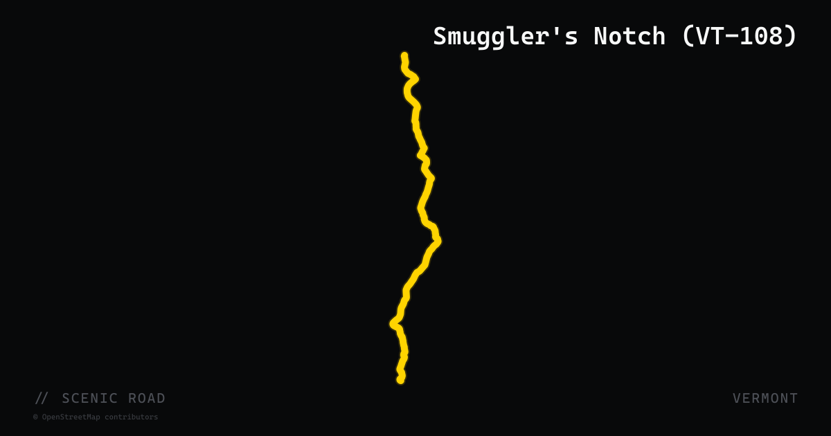
scenic road · vermont
Smuggler's Notch (VT-108)
Jeffersonville to Stowe through Mt. Mansfield SF. ~18 mi overall, with the **Notch a 5-mi section of extremely tight switchbacks, single-lane sections squeezing between boulders, and sharp hairpins.** Stowe-side ascent on a Road Glide is doable but go slowly. **Notch portion closed late October through mid-May.**
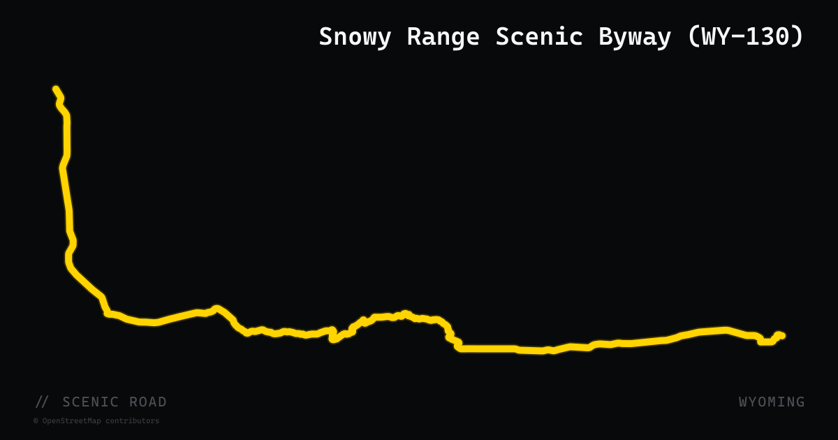
scenic road · wyoming
Snowy Range Scenic Byway (WY-130)
Laramie to Saratoga, 29 mi designated byway (~80 mi total). Second-highest mountain pass in Wyoming (10,847 ft) through the Snowy Range. Nation's second-designated National Scenic Byway. **12-mile high section closes mid-November to ~Memorial Day.**

scenic road · california
Sonora Pass (CA-108)
CA-108 crosses the Sierra Nevada over Sonora Pass, linking the Central Valley foothills to the Eastern Sierra via steep grades and high-elevation scenery, with the road typically closed in winter.
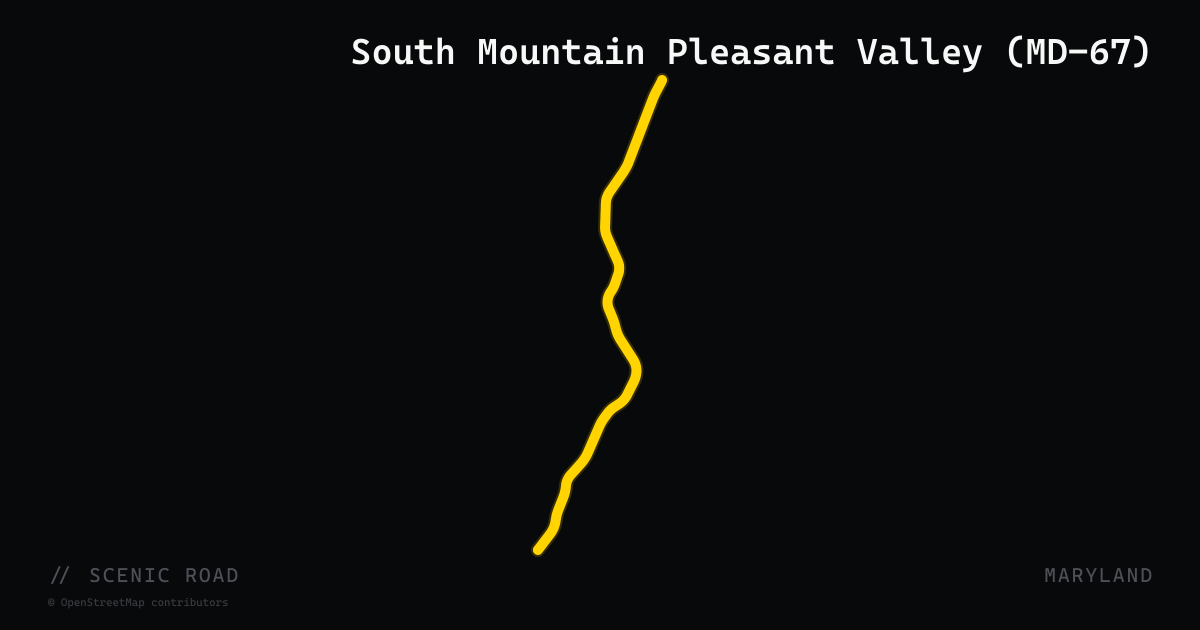
scenic road · maryland
South Mountain Pleasant Valley (MD-67)
Maryland Route 67 (Rohrersville Road) runs 12.20 miles through Washington County, connecting Weverton in the south to Boonsboro in the north. The road begins at a trumpet interchange with US-340 near the Appalachian Trail's Weverton Cliffs and traverses Pleasant Valley between Elk Ridge and South Mountain, passing through Garretts Mill, Brownsville, and Gapland. Civil War terrain is ever-present: the road passes Crampton's Gap and Gathland State Park, site of the Battle of Crampton's Gap. The route is designated as part of the Antietam Campaign Scenic Byway. Tight to the western flank of South Mountain, it pairs naturally with US-340 and MD-34 for a loop connecting to Harpers Ferry.
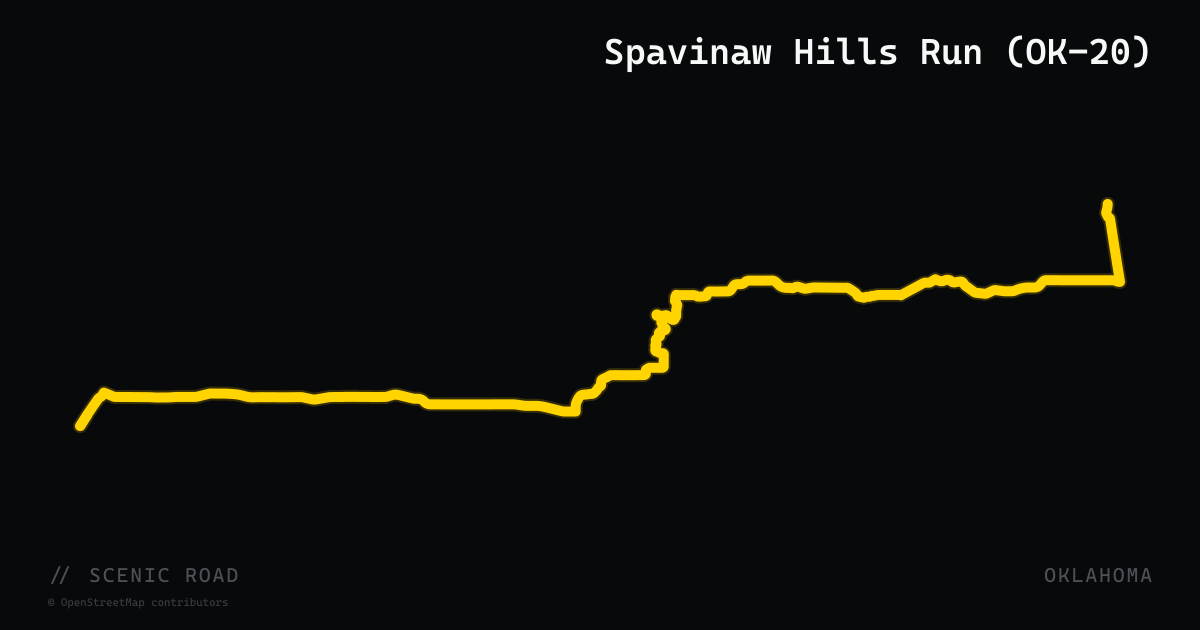
scenic road · oklahoma
Spavinaw Hills Run (OK-20)
Oklahoma State Highway 20 delivers a 38-mile motorcycle-focused run through Rogers and Mayes County in northeast Oklahoma's Green Country, starting at Claremore and tracking east through Pryor, across the Lake Hudson Bridge into Salina, then north to Spavinaw and Grand Lake State Park. The route passes the infamous 'Dead Man's Curve' — a steeply downhill-sloped hairpin bend that has caught out experienced riders — as well as wooded lake-view corridors and the rolling Spavinaw Hills terrain. TravelOK lists this as one of the top five eastern Oklahoma motorcycle rides and explicitly advises against it for novice riders.
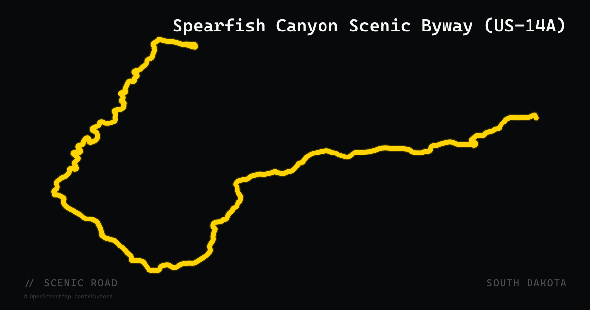
scenic road · south dakota
Spearfish Canyon Scenic Byway (US-14A)
US-14A winds through a 1,000-foot limestone canyon between Spearfish and Cheyenne Crossing, passing three waterfalls along Spearfish Creek; the area appeared in Dances with Wolves. The mapped route follows all of US-14A, which continues past the canyon through Lead and Deadwood back to I-90.
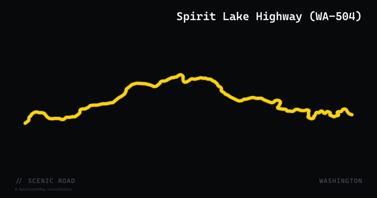
scenic road · washington
Spirit Lake Highway (WA-504)
WA-504 runs 52 miles from I-5 at Castle Rock east along the North Fork Toutle River to the Johnston Ridge Observatory at the edge of Mount St. Helens National Volcanic Monument — the only scenic byway in the US that enters a volcanic blast zone. Wide sweepers and bridges over canyon crossings characterize the road; the upper miles transition into the grey-ash landscape left by the 1980 eruption. The Johnston Ridge Observatory (visitor center, crater overlook) is the terminus. Note: a 2024 landslide damaged the upper stretch near the observatory; WSDOT expects full restoration by fall 2026 — check current conditions before riding.
scenic road · indiana
SR-135 (Nashville to Salem)
Indiana's best-known riding road, cited by Motorcycle Classics as one of the best Midwest rides — sweepers, S-curves, and ridge climbs through the Brown County hills. The celebrated section is the roughly 25 miles between Nashville and Story, with the most technical pavement in the southernmost 15 miles near Story; the route block imports the full SR-135, which runs far beyond, from the Indianapolis area south to the Ohio River.
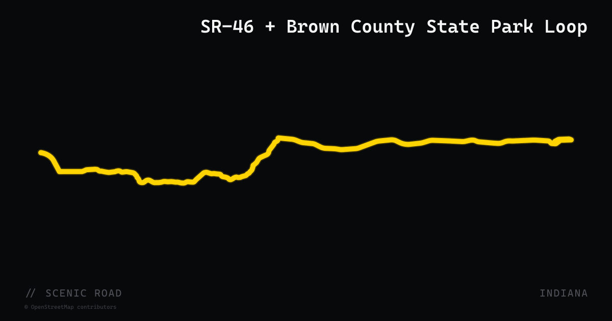
scenic road · indiana
SR-46 + Brown County State Park Loop
Bloomington–Nashville–Columbus, ~35 mi core. Forested ridges and elevation; pairs naturally with SR-135.
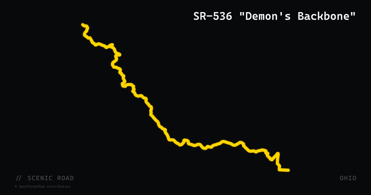
scenic road · ohio
SR-536 "Demon's Backbone"
Hannibal climbing west to SR-78, ~12 mi. Steep hills, tight curves, deep forest — widely called **"Ohio's Tail of the Dragon."** Demanding enough that "there's not a lot of opportunities to enjoy the scenery while riding."
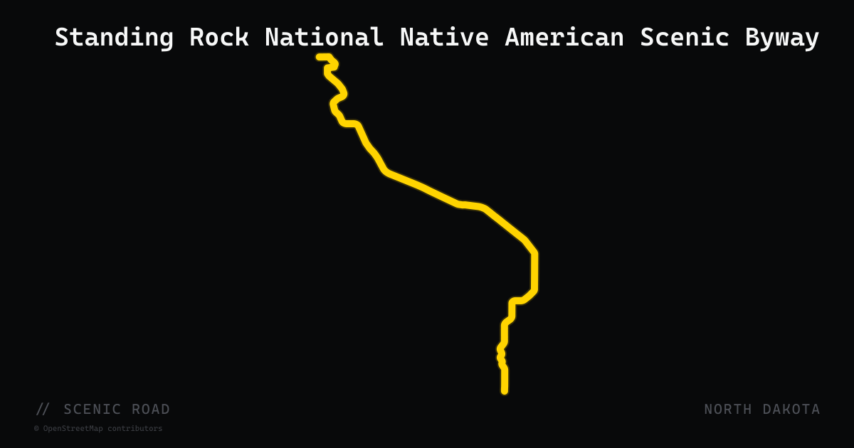
scenic road · north dakota
Standing Rock National Native American Scenic Byway
An officially designated National Scenic Byway running approximately 86 miles along ND-1806 within the Standing Rock Sioux Indian Reservation in south-central North Dakota. The byway begins at the Cannonball River and follows the southwest bank of the Missouri River south toward the South Dakota border, tracing the same routes traveled by the Lewis and Clark Expedition in 1806. Key stops include Sitting Bull's burial site, the Standing Rock Monument in Fort Yates, Prairie Knights Casino and Marina, and the Sitting Bull Visitor Center. Eagle nests and buffalo herds are frequently visible from the road. The corridor is one of only two National Scenic Byways in North Dakota.
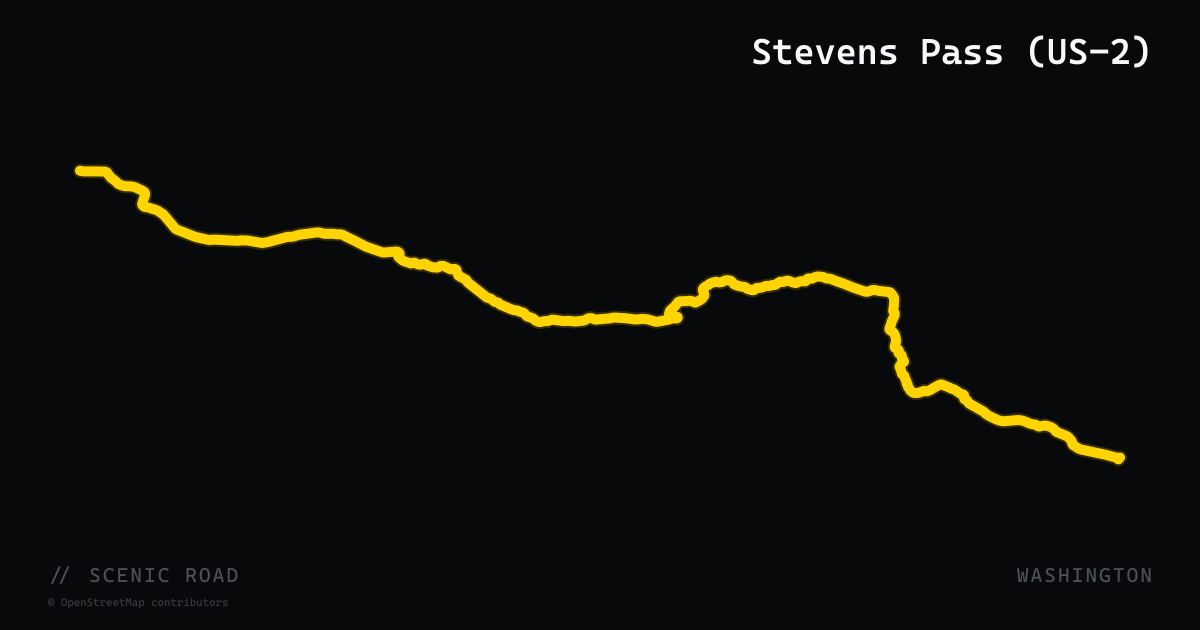
scenic road · washington
Stevens Pass (US-2)
US-2 runs 82 miles from Monroe east over Stevens Pass (4,061 ft) to Leavenworth, threading the Skykomish River valley through dense cedar and fir forest on the wet side before breaking into open ponderosa-pine terrain on the dry eastern slope. The pass section carries a designated Stevens Pass Greenway National Scenic Byway status and is a key link in the 440-mile Cascade Loop. Mid-speed sweepers dominate, with notable hairpins at the summit. Traffic can be heavy on Seattle-area weekends; best ridden midweek.
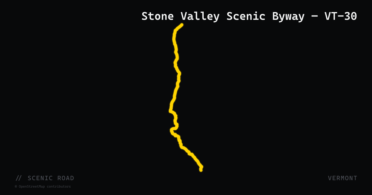
scenic road · vermont
Stone Valley Scenic Byway — VT-30
Vermont Route 30, designated the Stone Valley Byway and Seth Warner Memorial Highway, runs 111 miles from Brattleboro north to Middlebury, traversing four counties (Windham, Bennington, Rutland, Addison) through the heart of southern and central Vermont. The route follows the West River valley through West Dummerston, Newfane, Townshend, Jamaica, and Winhall before climbing past the Stratton and Bromley Mountain ski areas and continuing north through Manchester, Dorset, Pawlet, and Castleton. Dorset village features marble quarries whose stone was used in the New York Public Library and Harvard Medical School. The northern hilltop section from Poultney to Middlebury delivers open panoramic mountain views with broad sweeping bends.
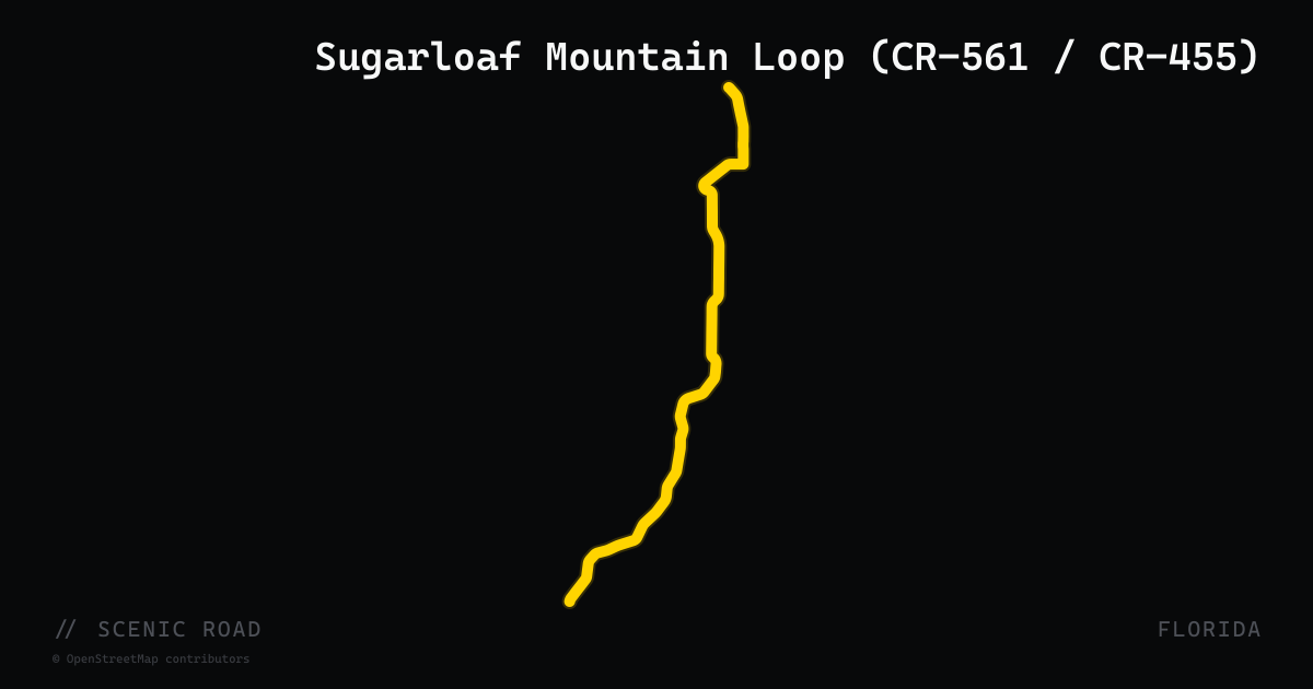
scenic road · florida
Sugarloaf Mountain Loop (CR-561 / CR-455)
A 45-mile loop through the lake-dotted hills of Lake County connecting CR-561, CR-455, and CR-448, passing Sugarloaf Mountain — at 312 feet, the highest point in peninsular Florida. The route is the closest thing to genuine hill riding in the Florida peninsula: real inclines, tight corners, and elevated views over Lake Apopka from the summit area near Howey-in-the-Hills. Citrus groves and horse farms line CR-561 on the western side of Lake Apopka. The loop typically starts near Clermont (US-27 / Florida Citrus Tower) and ends in Winter Garden. Popular with sport bike and road bike riders on weekends; weekdays offer lighter traffic.
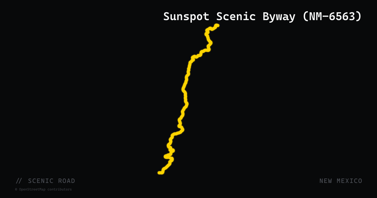
scenic road · new mexico
Sunspot Scenic Byway (NM-6563)
NM-6563, designated a National Forest Scenic Byway in 1990, runs 15.5 miles south from NM-130 near Cloudcroft to the National Solar Observatory at Sunspot. The highway number derives from the wavelength of the hydrogen-alpha spectral line (6563 angstroms) used by observatory scientists to study the sun. The road traces the escarpment rim of the Sacramento Mountains with consistent west-facing views plunging nearly 5,000 feet to the Tularosa Basin and White Sands National Park. Planet-named signs placed at 1:250 million scale mark the distance between planets along the route. The pavement is in excellent condition with tight curves and minimal traffic year-round.
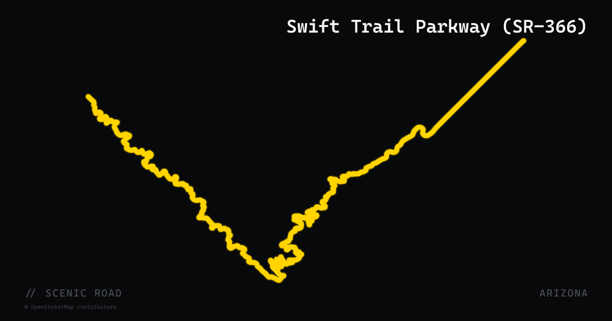
scenic road · arizona
Swift Trail Parkway (SR-366)
Arizona State Route 366, the Swift Trail Parkway, climbs 28 miles from the Gila Valley floor near Safford (3,200 feet) to near the summit of Mount Graham (10,717 feet) — a gain of over 7,500 feet in one road. The highway connects with US-191 south of Safford and ascends through five distinct life zones from desert scrub to spruce-fir forest. At Turkey Flat, five consecutive hairpin turns are the road's signature feature. SR-366 is closed above Riggs Flat Lake each winter by ADOT due to snow. This sky-island climb in the Pinaleño Mountains delivers one of the largest single-road elevation gains in the American Southwest and is far less traveled than comparable Arizona climbs.
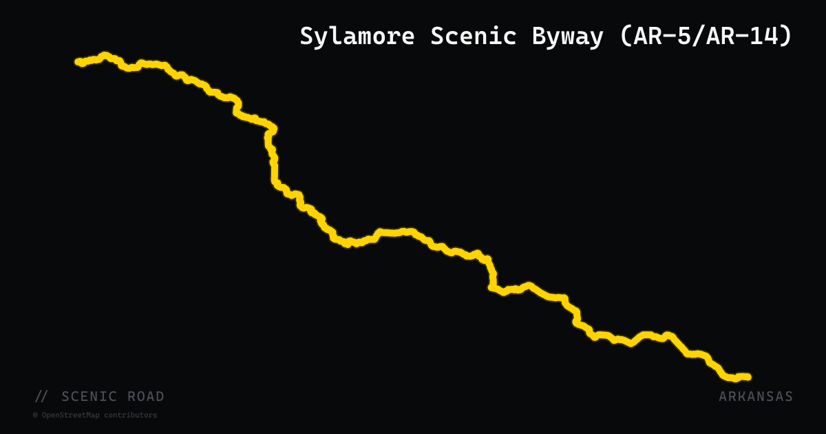
scenic road · arkansas
Sylamore Scenic Byway (AR-5/AR-14)
The Sylamore Scenic Byway is a 26.5-mile National Forest scenic byway in Stone County that runs from Blanchard Springs Caverns south through the Sylamore Ranger District of the Ozark National Forest to Calico Rock on the White River. The route follows Forest Service Road 1110 out of the caverns, then transitions to AR-14 and AR-5, hugging the White River along dramatic limestone cliffs before climbing back to a ridge-top finish. Near Allison the road drops to river level where the White River runs deeply entrenched below high bluffs. Riders on the Push Mountain Road loop naturally combine this byway with AR-341 and AR-14 for a full north-central Arkansas day.
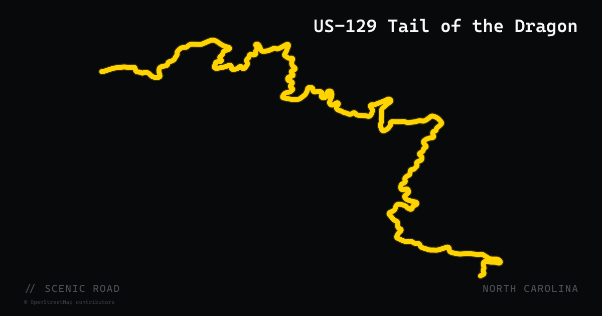
scenic road · north carolina
Tail of the Dragon
318 curves in 11 miles. The legendary US-129 stretch across the NC/TN border.
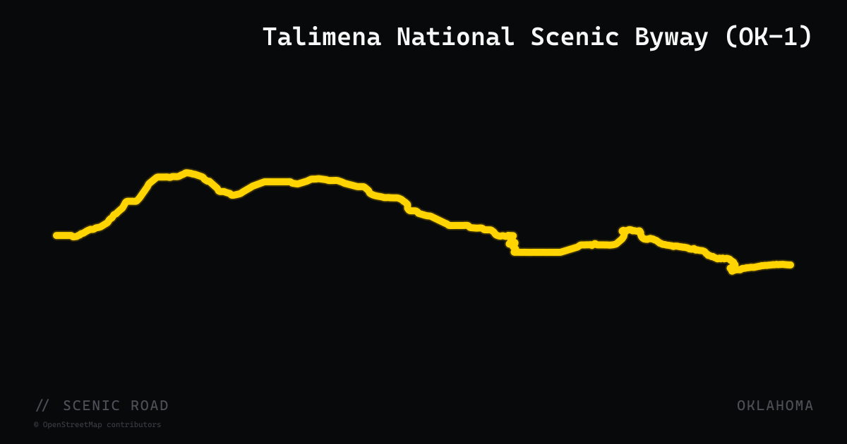
scenic road · oklahoma
Talimena National Scenic Byway (OK-1)
Talihina, OK to Mena, AR. ~54 mi total, ~36 mi on the OK side. **Oklahoma's classic** — ridgeline drive along Winding Stair and Rich Mountains, 22 scenic vistas. **No gas stations on the byway itself.**
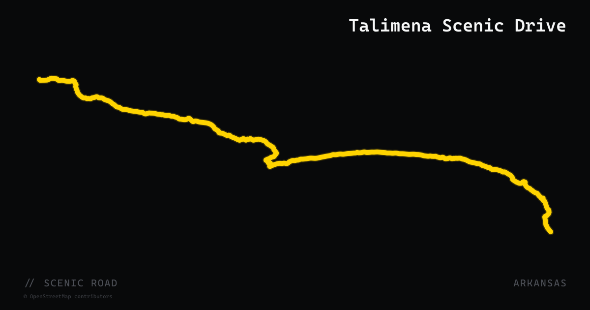
scenic road · arkansas
Talimena Scenic Drive
54 miles of ridgetop two-lane across the Ouachita Mountains between Mena, AR and Talihina, OK — sustained 2,000-ft views and zero commercial traffic.
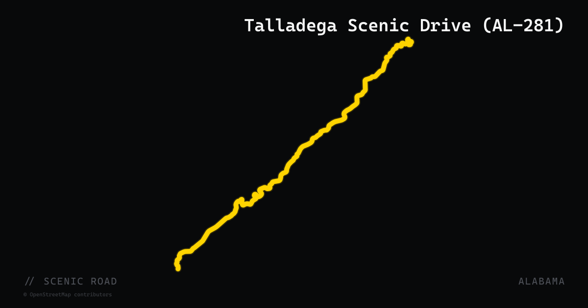
scenic road · alabama
Talladega Scenic Drive (AL-281)
Heflin (US-78) to Adams Gap, ~26 mi. National Scenic Byway climbing Cheaha Mountain (2,407 ft, AL's high point), through Talladega NF. Restaurant atop the mountain. **Best April–November**; year-round but watch winter ice.
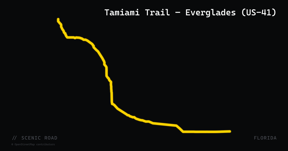
scenic road · florida
Tamiami Trail — Everglades (US-41)
The Everglades section of US-41 (the Tamiami Trail) runs approximately 100 miles from Naples east to Miami through the Big Cypress National Preserve and Everglades National Park buffer. Opened in 1928 after 13 years of construction, it is a two-lane road and National Scenic Byway designated for its unique environment. The scenery is the draw: wide-open sawgrass prairie, cypress domes, alligators sunning on canal banks, and almost no development for 50 miles through the Miccosukee section west of Florida City. Contrast to I-75 (Alligator Alley) is stark — same distance, entirely different character. Miccosukee Indian Village and Shark Valley (Everglades NP) are notable stops.
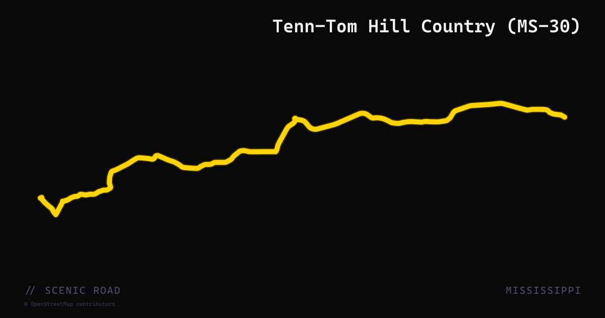
scenic road · mississippi
Tenn-Tom Hill Country (MS-30)
MS-30 runs 91 miles east-west across four counties — Lafayette, Union, Prentiss, and Tishomingo — from Oxford to the Natchez Trace Parkway at Mingo. The western section crosses the Tallahatchie River and passes through Holly Springs National Forest; the eastern half transitions into genuinely hilly, wooded terrain as the road climbs into the Appalachian foothills of Tishomingo County, crossing the Tennessee-Tombigbee Waterway on a bridge near Paden before terminating at the Natchez Trace interchange adjacent to Tishomingo State Park. Relatively light traffic on a road that gains real character as it nears the Alabama line.
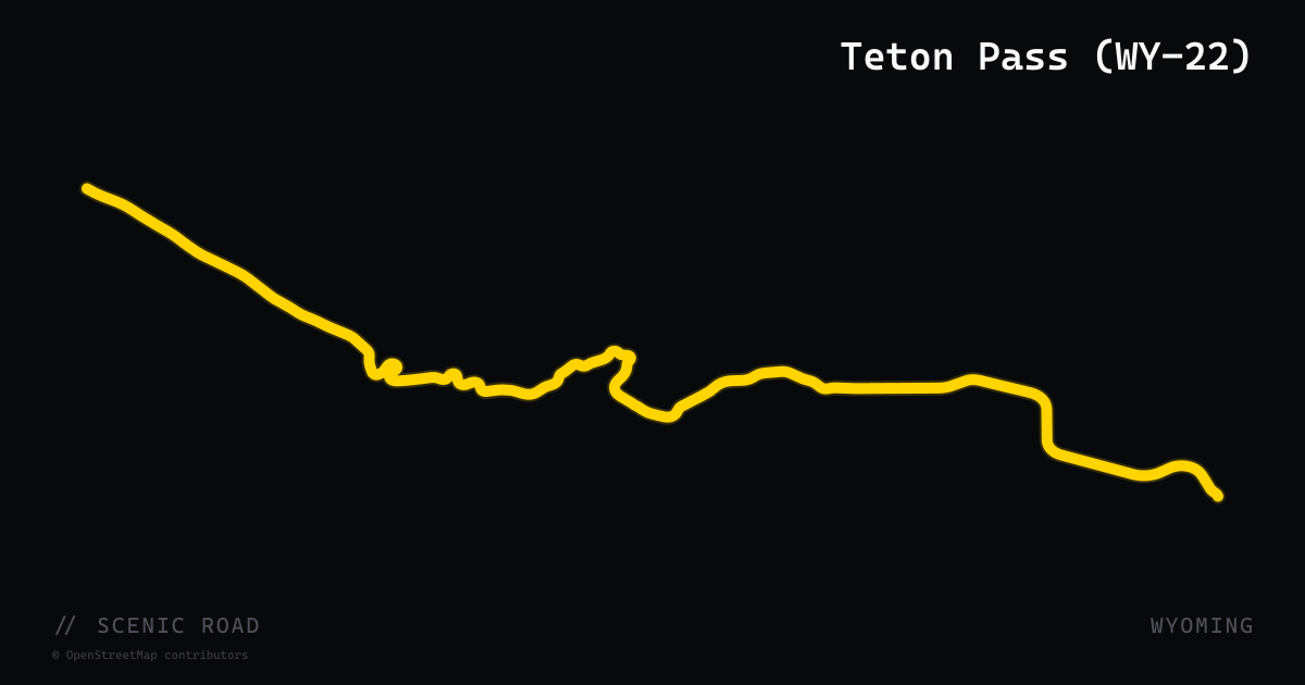
scenic road · wyoming
Teton Pass (WY-22)
A 17-mile state highway (WY-22) climbing from Jackson through Wilson to Teton Pass summit at 8,431 ft before descending into Teton Valley, Idaho. One of the steepest paved highway grades in the continental US — up to 10% — with tight switchbacks and pull-outs offering stunning Jackson Hole valley views. A classic out-and-back challenge for riders based in Jackson.
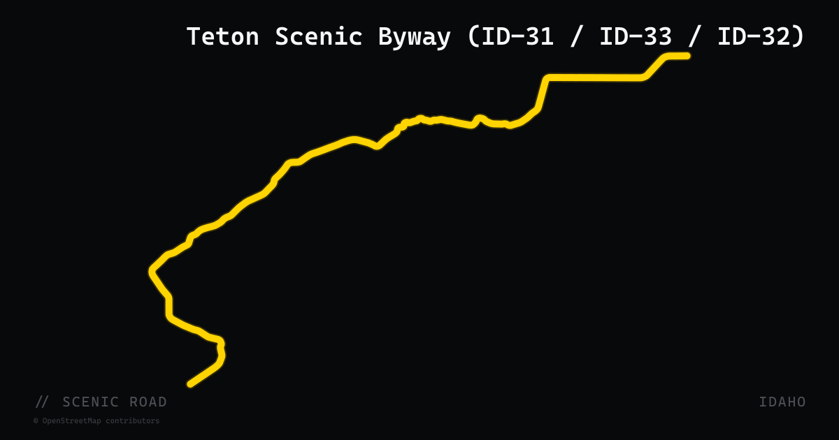
scenic road · idaho
Teton Scenic Byway (ID-31 / ID-33 / ID-32)
A 69-mile State and Forest Service Scenic Byway running along the western face of the Teton Range. The route begins on ID-31 at Swan Valley on the Snake River, climbs over the Big Hole Mountains into Victor, then follows ID-33 north through Driggs and Tetonia before connecting via ID-32 to Ashton. Constant views of the 10,000-ft Teton peaks frame the entire ride. Passes through Caribou-Targhee National Forest with very light traffic — a dramatic alternative to crossing Teton Pass on US-26/US-89.
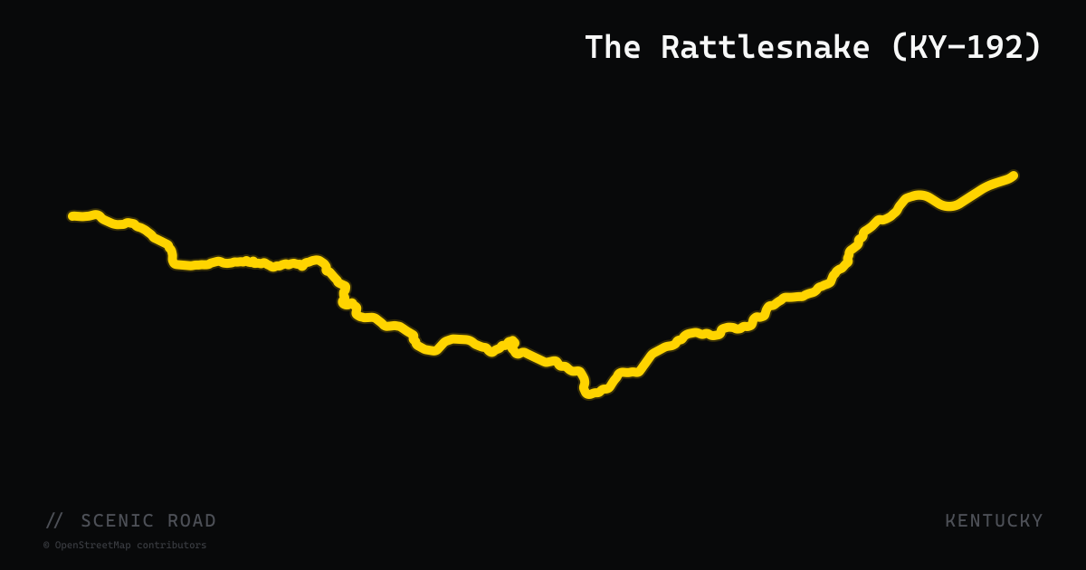
scenic road · kentucky
The Rattlesnake (KY-192)
Kentucky Route 192 runs 40 miles from London to Somerset through the foothills of Daniel Boone National Forest, but its 12-mile core section earned the nickname 'The Rattlesnake' — and in 2016 the Kentucky Legislature made it official, becoming the only state-named motorcycle road in Kentucky. The signature stretch packs roughly 150 turns into those 12 miles, winding past Buck Creek and the Kentucky River at Bee Rock with forest canopy overhead. The Souvenir Shack at 'Brake on the Snake' (8855 KY-192, Somerset) is the traditional rider rest stop with merchandise and refreshments. Pavement quality is excellent throughout.
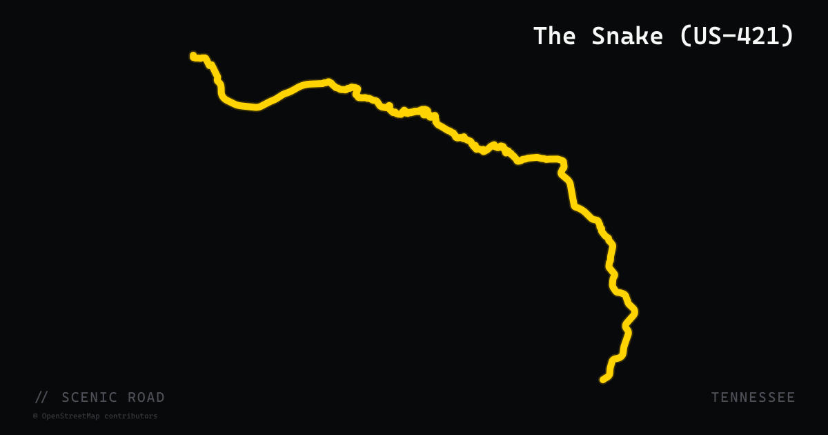
scenic road · tennessee
The Snake (US-421)
US-421 from Mountain City to Bristol via Shady Valley, about 37 miles billed locally as 489 curves over three mountains. Sustained switchbacks and ridge crossings through Cherokee National Forest, with a famous country-store stop at the halfway point.
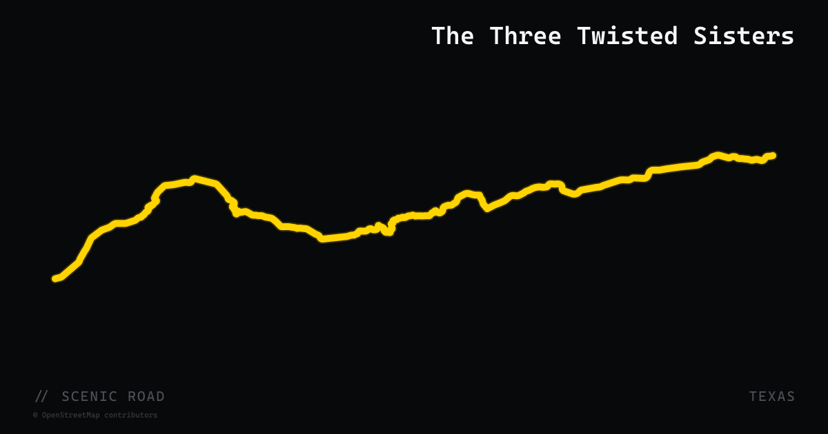
scenic road · texas
The Three Twisted Sisters
The Texas Hill Country's most-loved motorcycle road — Ranch Road 337 between Camp Wood and Vanderpool through Leakey, with RR 335 and 336 forming the larger 100-mile "Twisted Sisters" loop. Imported geometry covers the iconic RR 337 spine.
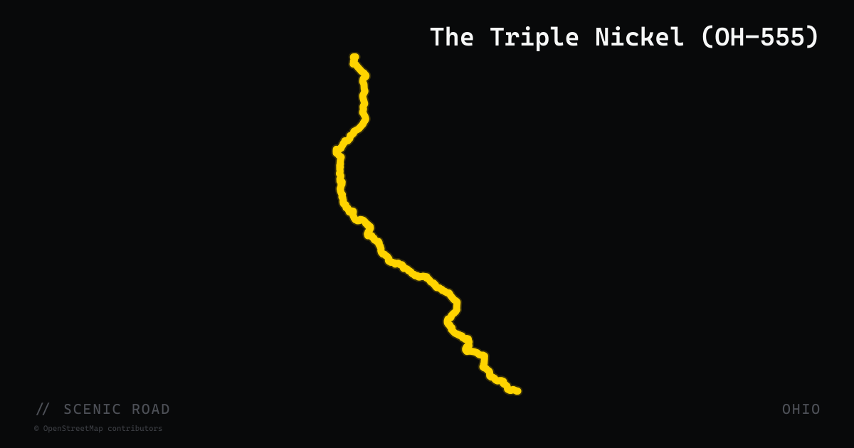
scenic road · ohio
The Triple Nickel (OH-555)
Ohio's famous Triple Nickel runs about 60 miles from Zanesville to Little Hocking with a reported 751 turns — blind crests, decreasing-radius corners, and off-camber sweepers on recently repaved two-lane, ranked number one on Car and Driver's 2020 list of America's best driving roads. Watch for Amish buggies and road apples along the whole route.
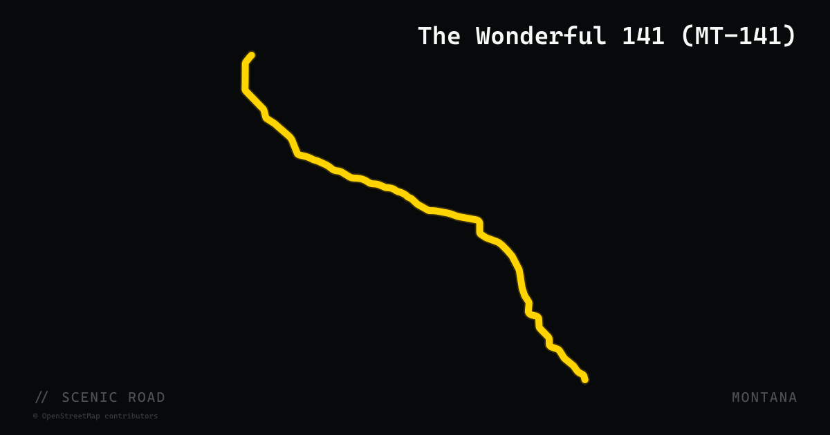
scenic road · montana
The Wonderful 141 (MT-141)
A 32-mile paved two-lane running north from Avon (US-12) through the plains between the Garnet Range and Helena National Forest to a junction with MT-200 north of Helmville. Nicknamed 'The Wonderful 141' in the motorcycle community for its unspoiled lush pastureland, mountain backdrops, wildlife (including deer and elk), and near-total solitude. The road shines for its scenic serenity rather than technical challenge — a quiet counterpart to the busier corridors in central-western Montana.
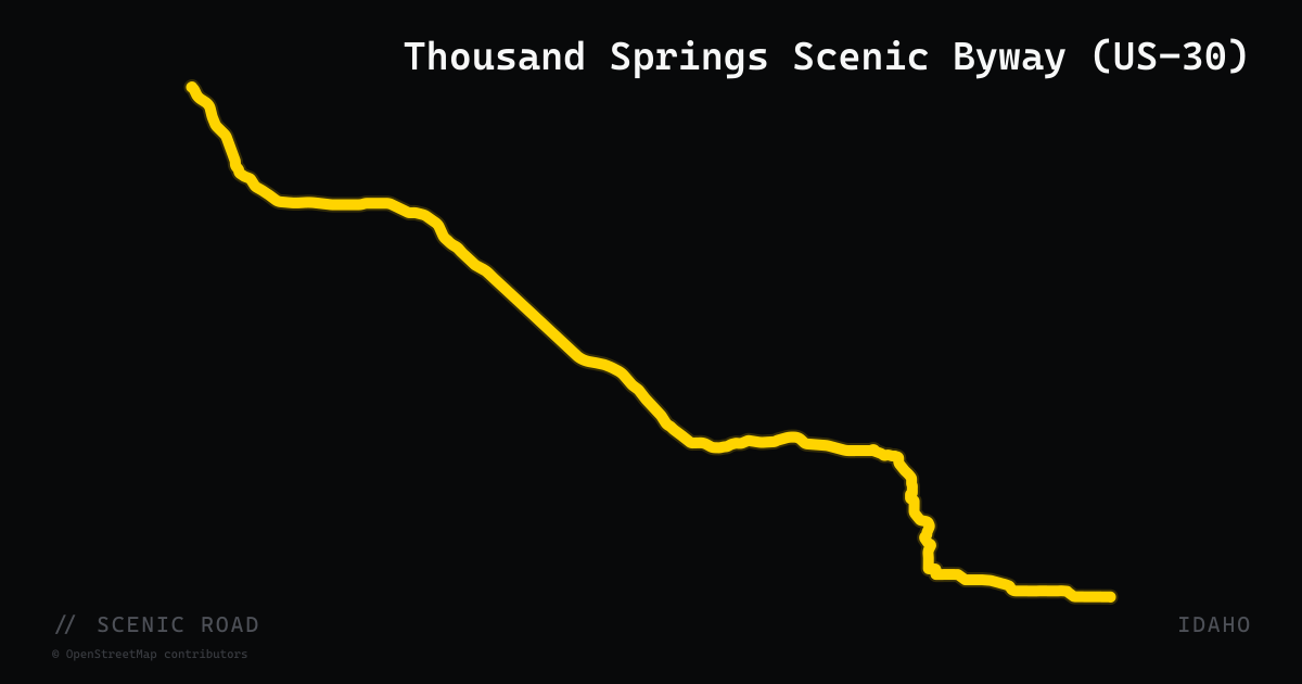
scenic road · idaho
Thousand Springs Scenic Byway (US-30)
A 67-mile section of US-30 through the Snake River Canyon between Bliss and Buhl in southern Idaho, dipping through the Hagerman Valley. The route passes dozens of springs erupting directly from basalt canyon walls — discharge from the Snake River Plain Aquifer, one of the world's largest groundwater systems. Stops include Thousand Springs State Park, Hagerman Fossil Beds National Monument, and the commercial trout hatcheries that produce 70% of US farm-raised trout. Wide, smooth two-lane with river views throughout.
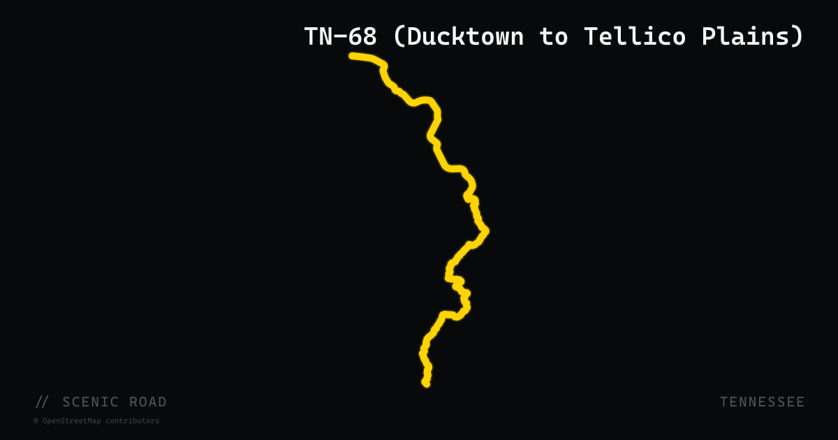
scenic road · tennessee
TN-68 (Ducktown to Tellico Plains)
The 32-mile stretch of TN-68 between Ducktown and Tellico Plains delivers relentless curves through Cherokee National Forest, climbing to nearly 2,000 feet and passing through the Coker Creek area. Running north from the copper-mining ghost town of Copperhill/Ducktown, the road connects to TN-360 and the Cherohala Skyway at Tellico Plains, making it the natural eastern approach or exit ramp for Cherohala loop rides. The corridor is lightly traveled and passes through forest and small mountain communities, offering a quieter alternative to US-64 for riders building multi-road East Tennessee itineraries.
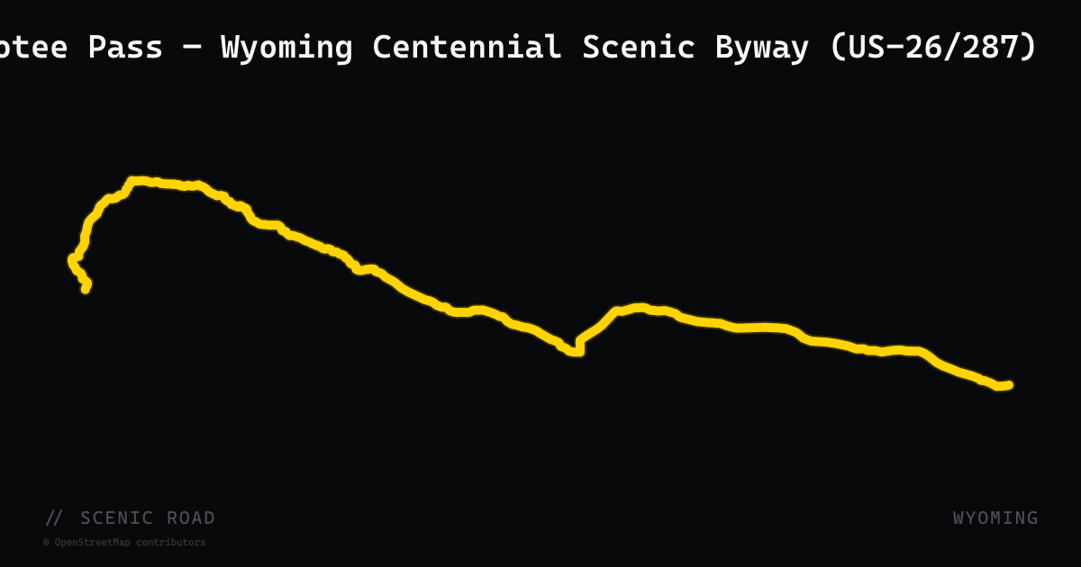
scenic road · wyoming
Togwotee Pass — Wyoming Centennial Scenic Byway (US-26/287)
The Dubois-to-Moran leg of the Wyoming Centennial Scenic Byway, following US-26/287 over Togwotee Pass at 9,658 ft on the Continental Divide. The 55-mile run through Bridger-Teton National Forest offers continuous mountain vistas, Breccia Cliffs, wildlife corridors, and sweeping views of the Grand Teton from the pass summit — all on a lightly traveled two-lane with gentle sweepers.
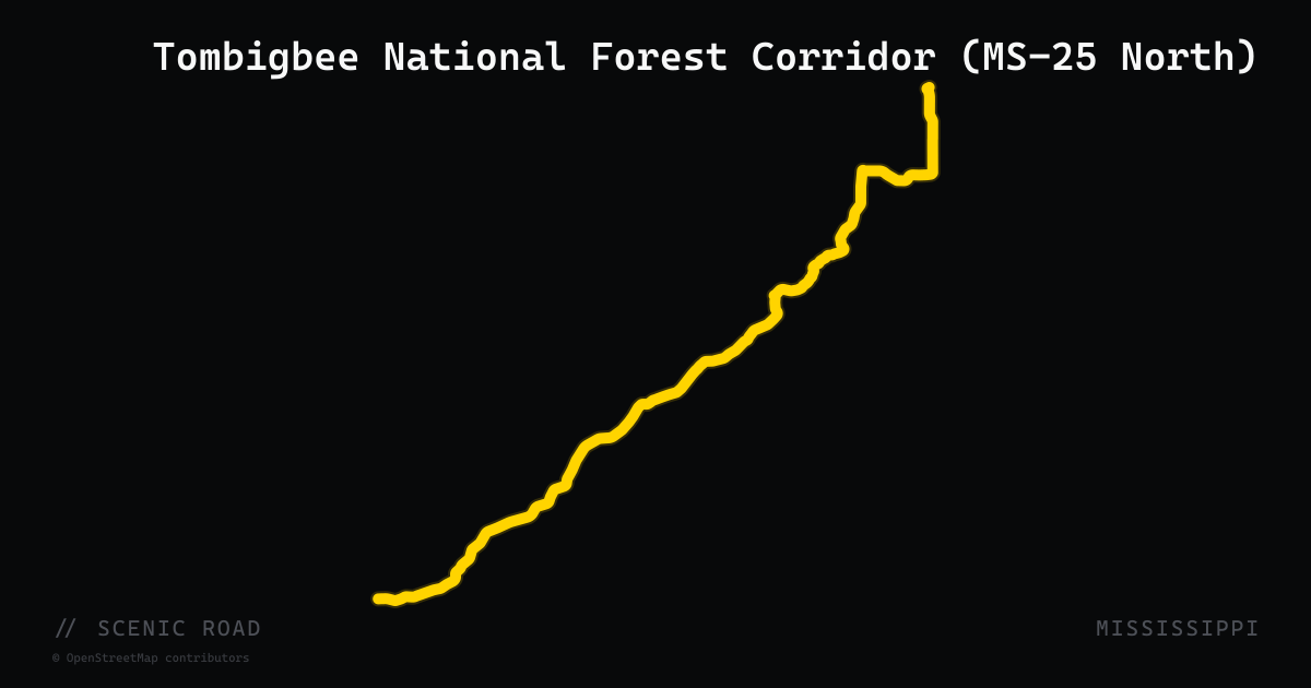
scenic road · mississippi
Tombigbee National Forest Corridor (MS-25 North)
The northern 80-or-so miles of MS-25 — from roughly the Tombigbee National Forest in Winston County through Oktibbeha, Monroe, Itawamba, and into Tishomingo County at the Tennessee line — offer a distinctly different character from the flat southern stretches. In Winston County the highway passes through Tombigbee National Forest, skirts Choctaw Lake and Bluff Lake, and then the road becomes progressively windier as it enters the rolling hills and ridges of the Appalachian foothills near Iuka and Tishomingo. The full highway is 260 miles from Jackson but the northern segment is the scenic payoff.
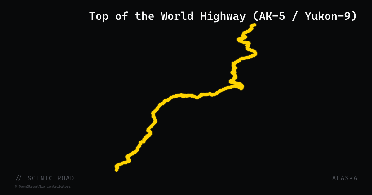
scenic road · alaska
Top of the World Highway (AK-5 / Yukon-9)
Tetlin Junction through Chicken and Boundary to Dawson City, YT (Yukon River ferry). Ridge-top riding, mixed pavement and hard-packed gravel; the northernmost US-Canada border crossing. **Open mid-May to mid-September only**; ferry summer only.
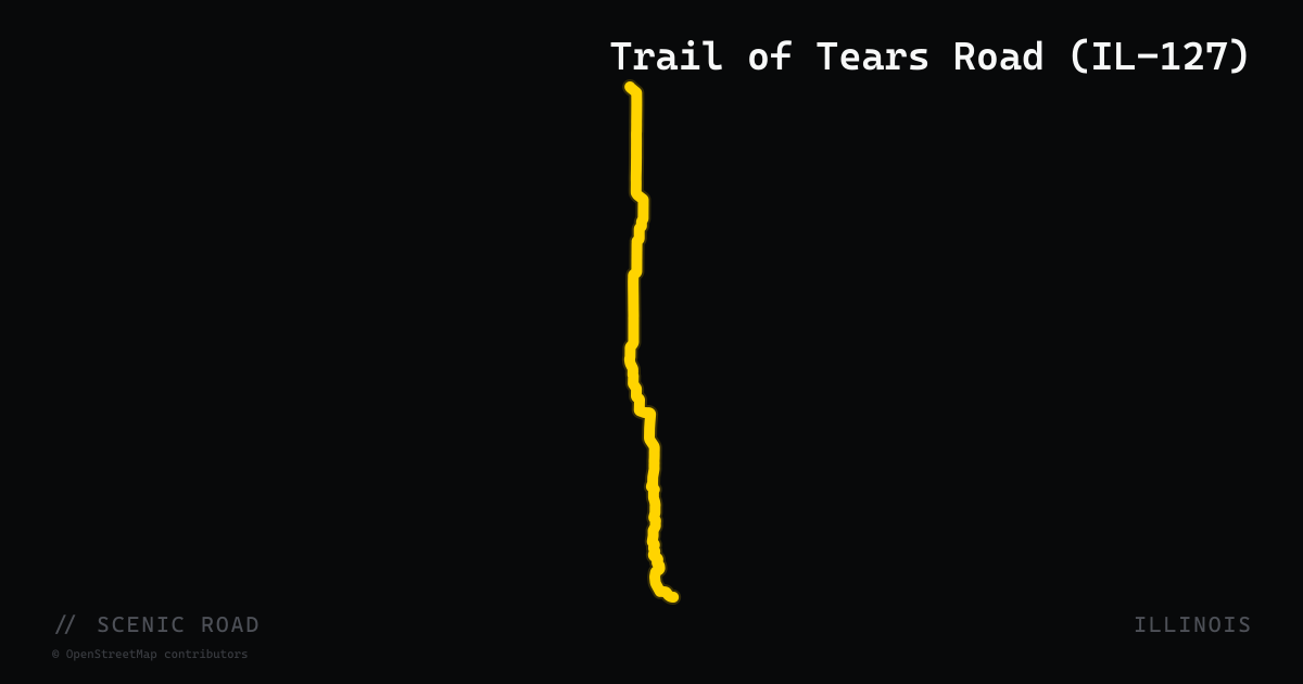
scenic road · illinois
Trail of Tears Road (IL-127)
Illinois Route 127 runs south from Murphysboro through the Trail of Tears State Forest and the Illinois Ozarks to Jonesboro, passing through Alto Pass where a right turn brings riders to the Bald Knob Cross atop a commanding hill. The road is hilly and tree-lined with cascading panoramic views across rolling countryside. South of Murphysboro the pavement curves through forested hollows in rapid succession; traffic is typically light on weekdays. The route is a key leg of the Murphysboro–Anna–Carbondale loop, one of the most-referenced motorcycle circuits in southern Illinois.
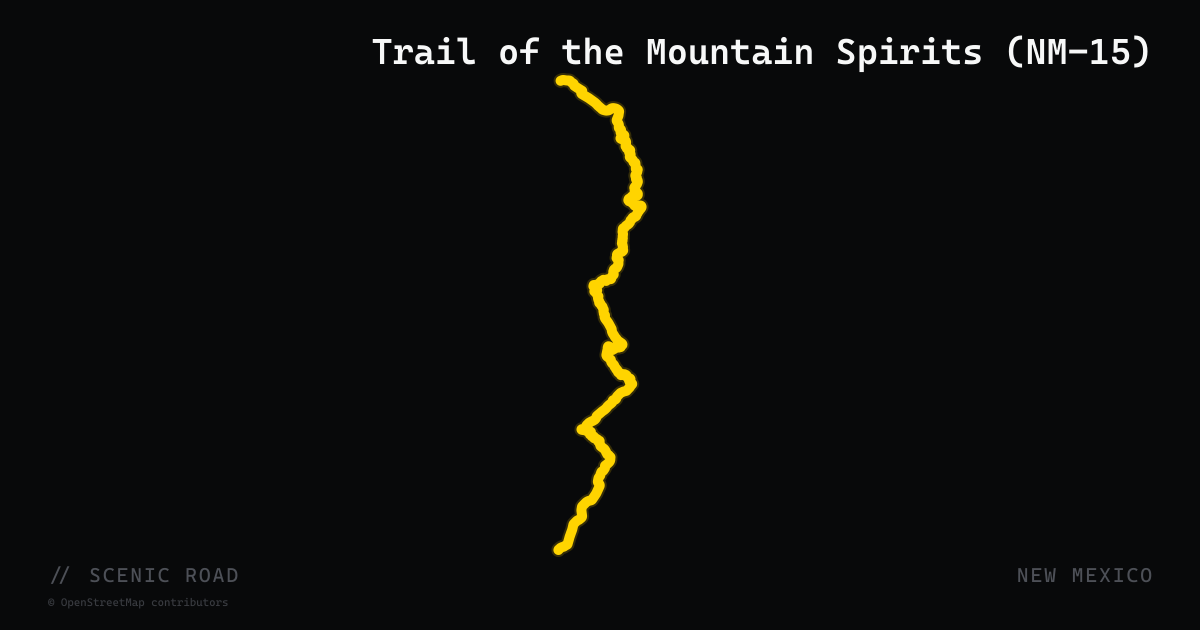
scenic road · new mexico
Trail of the Mountain Spirits (NM-15)
The Trail of the Mountain Spirits is a 95-mile National Scenic Byway in southwestern New Mexico that loops through the Gila National Forest and crosses the Continental Divide. NM-15 forms the northern spine of the route, running 44 miles from Silver City north to the Gila Cliff Dwellings National Monument — the only designated wilderness in the United States that pre-dates the 1964 Wilderness Act. The byway also incorporates NM-35, US-180, and NM-152. The road through Pinos Altos and the Gila River Canyon is remote and technical, with steep grades and sharp curves warranting caution for large touring bikes, while rewarding riders with canyon views 2,000 feet deep and access to one of the most isolated national monuments in the lower 48.
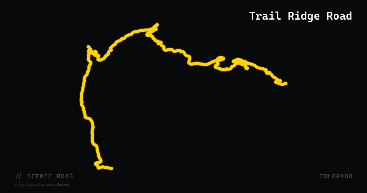
scenic road · colorado
Trail Ridge Road
43 miles of US-34 across Rocky Mountain National Park — the highest continuous paved road in North America, topping out at 12,183 ft above tree line.
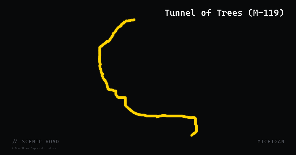
scenic road · michigan
Tunnel of Trees (M-119)
A 20-mile state highway running north from Harbor Springs to Cross Village along a narrow, winding bluff above Lake Michigan. Michigan's only centerline-free state highway, M-119 passes beneath a continuous hardwood canopy of oaks, maples, birch, and cedar — the 'tunnel' effect is densest in the mid-section near Good Hart. The Discovery Channel named it a Top 10 North American motorcycle ride. Tight hairpin curves and no fuel between Harbor Springs and Cross Village keep the character pure. Designated as a Michigan Scenic Heritage Route.
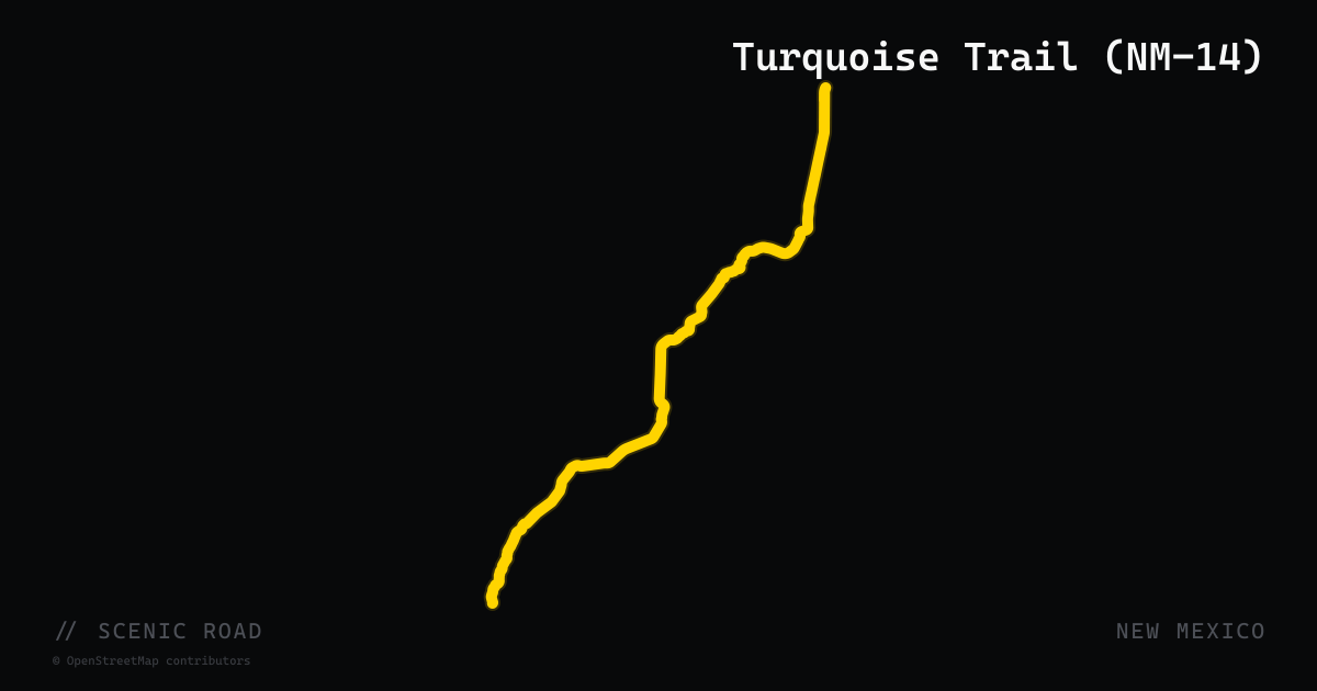
scenic road · new mexico
Turquoise Trail (NM-14)
NM-14 is the primary highway of the Turquoise Trail National Scenic Byway, running 54 miles from Tijeras (at I-40 east of Albuquerque) north to Santa Fe. The route traces the eastern flank of the Sandia and Ortiz Mountains through former mining towns including Golden (the site of the first gold rush west of the Mississippi), Madrid (a ghost town turned artist colony packed with galleries and the Mine Shaft Tavern), and Los Cerrillos (a turquoise mining village active since pre-Columbian times). The road alternates between high desert scrub, piñon-juniper woodland, and sweeping valley views — the pavement is smooth and traffic is moderate, making it a popular alternative to I-25 between Albuquerque and Santa Fe.
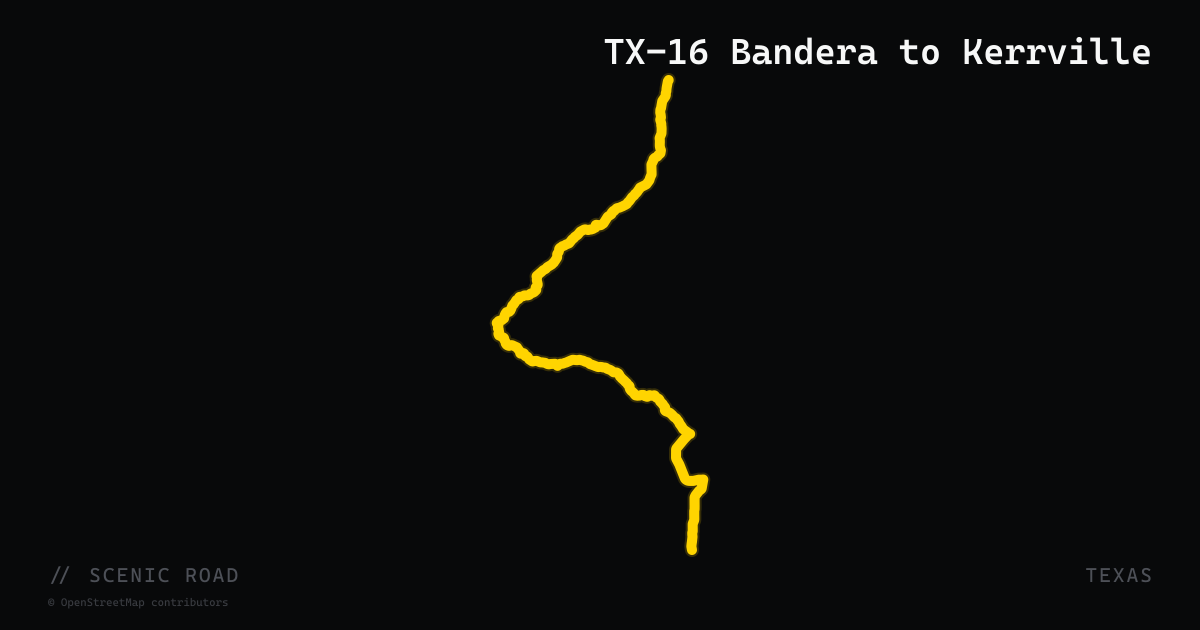
scenic road · texas
TX-16 Bandera to Kerrville
Texas Highway 16 between Bandera and Kerrville covers approximately 38 miles of Hill Country riding through the Edwards Plateau. Leaving Bandera northward, the road climbs into the cedar-oak highlands of the Medina River watershed, then ascends Medina Mountain — a section of tight hairpin turns and steep inclines with a posted 15 mph on the sharpest curves — before descending into the Medina River valley near the town of Medina. North of Medina the road opens to sweeping curves through limestone terrain, crossing the Guadalupe River before arriving in Kerrville. Experienced riders recommend the stretch; the Medina Mountain section has loose gravel after rain.
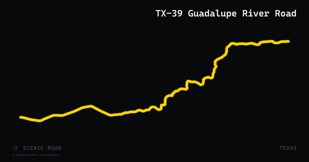
scenic road · texas
TX-39 Guadalupe River Road
Texas Highway 39 follows the Upper Guadalupe River for approximately 36 miles between Ingram (west of Kerrville) and the junction with US-83 north of Leakey. The road traces the river corridor through shaded cypress and oak stretches, crossing the Guadalupe at several 90-degree bridges and passing through Hunt, a small community known for summer camps and polo grounds. The terrain is rolling and curvy but not technically demanding — a relaxed alternative to the nearby Twisted Sisters. A 2/3-scale Stonehenge replica stands in Ingram at the eastern end. Low-water crossings can hold water after heavy rain.
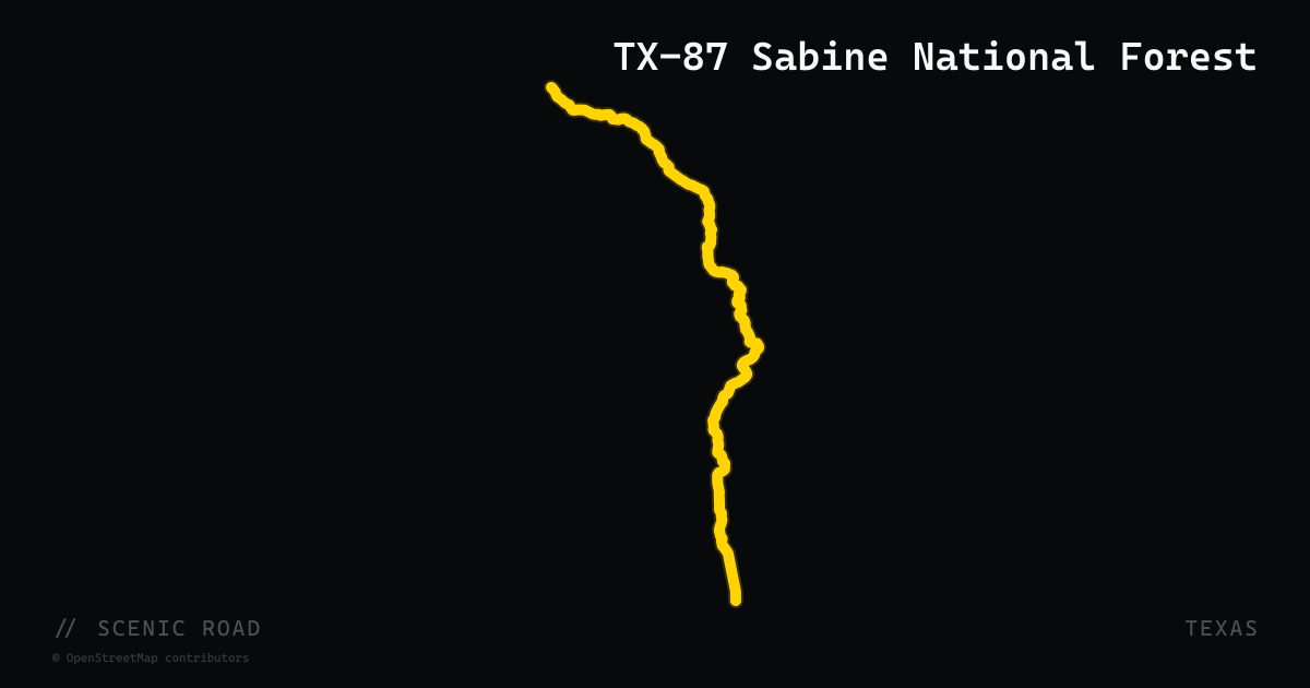
scenic road · texas
TX-87 Sabine National Forest
Texas Highway 87 traverses East Texas through the Sabine National Forest between the Louisiana border at Logansport and the town of Hemphill, then continues south toward Jasper — a total corridor of roughly 60 miles through dense East Texas pine forest. The road follows the western shore of Toledo Bend Reservoir for several miles, offering water views through the pines. Traffic is light, pavement is well-maintained two-lane, and the road presents gentle curves through timber and bottomland terrain. It is a pronounced contrast to Hill Country riding — green, humid, heavily forested — and suits riders touring the eastern half of the state. The Sabine National Forest boundary is signed along the route.
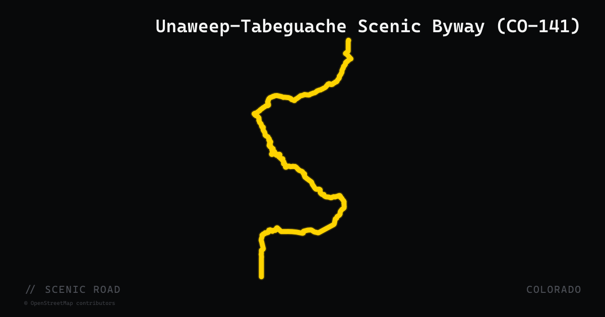
scenic road · colorado
Unaweep-Tabeguache Scenic Byway (CO-141)
Colorado Highway 141 forms the primary spine of the 133-mile Unaweep-Tabeguache Scenic and Historic Byway, running from Whitewater (south of Grand Junction) through the ancient Unaweep Canyon and continuing to Naturita before connecting to CO-145 at Placerville. Unaweep Canyon — whose two creeks flow in opposite directions — is a geologic oddity: a canyon carved through the Uncompahgre Plateau by an ancestral Colorado River that later abandoned it. The road hugs sheer sandstone walls and red-rock mesas with very light traffic. A historic hanging flume clinging to a cliff above the Dolores River is the signature stop.
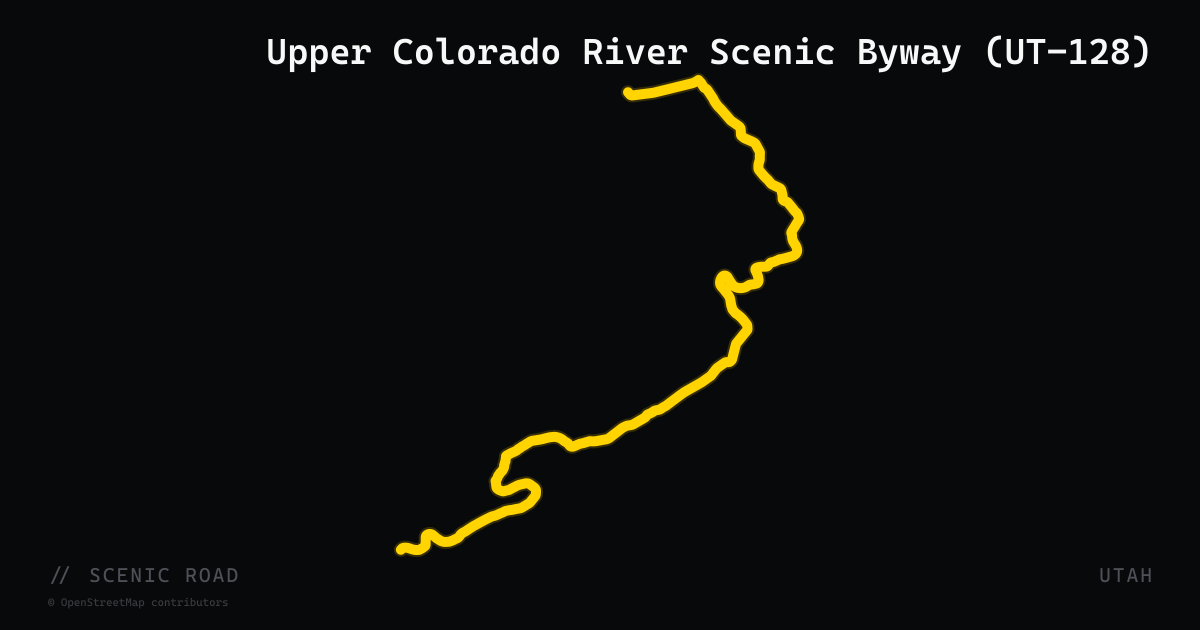
scenic road · utah
Upper Colorado River Scenic Byway (UT-128)
44.6-mile two-lane highway north of Moab that follows the Colorado River through a corridor of sheer sandstone canyon walls. The route runs from US-191 just north of Moab north to I-70 near Cisco. Key highlights include Fisher Towers, Castle Valley, and views of the snow-capped La Sal Mountains mirrored on the river. Road narrows in the canyon section; most curves require reduced speed. Officially designated the Upper Colorado River Scenic Byway and part of the Dinosaur Diamond National Scenic Byway.
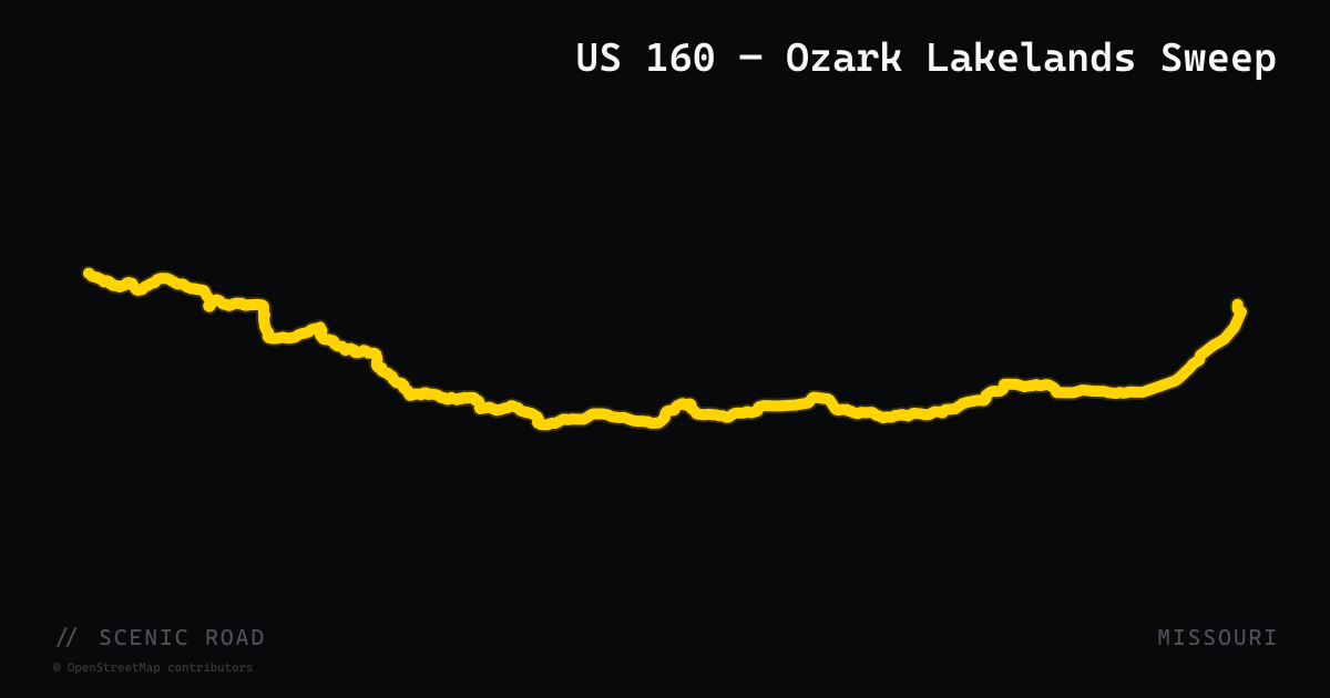
scenic road · missouri
US 160 — Ozark Lakelands Sweep
US Route 160 delivers 67.5 miles of near-continuous curves between Reeds Spring and Gainesville in southern Missouri, climbing from roughly 900 to 1,500 feet through Bull Shoals and Lake Taneycomo country before entering Mark Twain National Forest. MotorcycleRoads.com contributors describe it as having 'very few straight stretches' with terrain ranging from gentle sweepers to tight technical corners and almost continuous elevation change. The route crosses the Theodosia Bridge and offers spring wildflowers, summer shade, and fall color through dense Ozark hardwood forest. Services concentrate near the endpoints; the middle stretch through national forestland is remote.
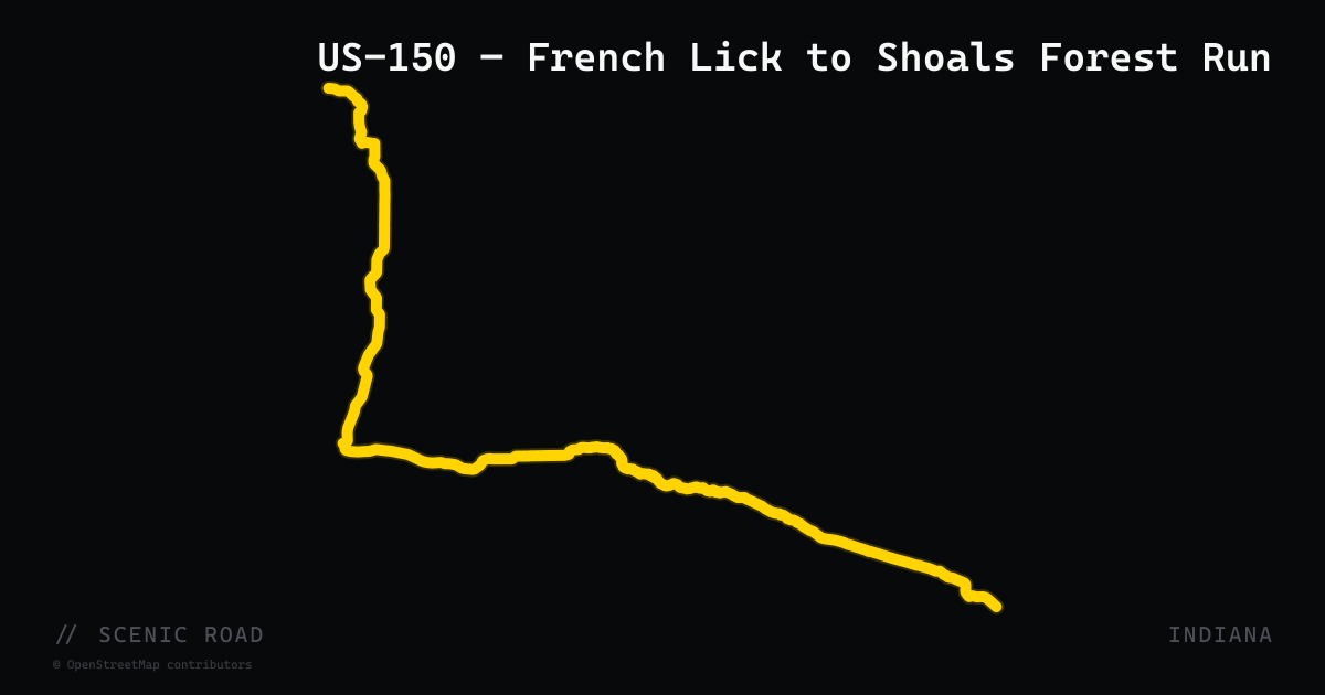
scenic road · indiana
US-150 — French Lick to Shoals Forest Run
US-150 between French Lick and Shoals covers roughly 30 miles of north-Martin County backcountry that Rider Magazine describes as 'a motorcyclist's paradise with very little traffic' that 'winds through the forest in a very inviting way.' The route passes through Washington and Martin counties on tight, tree-canopied two-lane with twisting turns, sharp curves, and long forested straight sections between the resort town of French Lick and the White River town of Shoals. Unlike the river byways to the south, US-150 here is a true forest road with almost no commercial development — ideal for riders who prefer isolation over amenities.
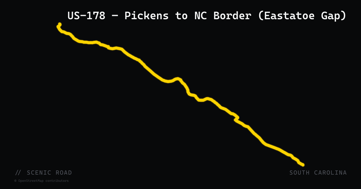
scenic road · south carolina
US-178 — Pickens to NC Border (Eastatoe Gap)
The mountain segment of US-178 from Pickens north to the North Carolina border at Rosman is one of the most technically demanding and rewarding motorcycle roads in the South Carolina Upstate. The road crosses the Eastern Continental Divide at Eastatoe Gap, then delivers a curvaceous and steep descent along Eastatoe Creek before climbing again through Beasley Gap and dropping sharply to the Oolenoy River valley. The 43-mile stretch from Pickens to the NC line offers relentless switchbacks, significant elevation change, smooth pavement, and minimal traffic compared to better-known Upstate routes. A fuel stop is available at the US-178/US-123 crossroads midway through the run.
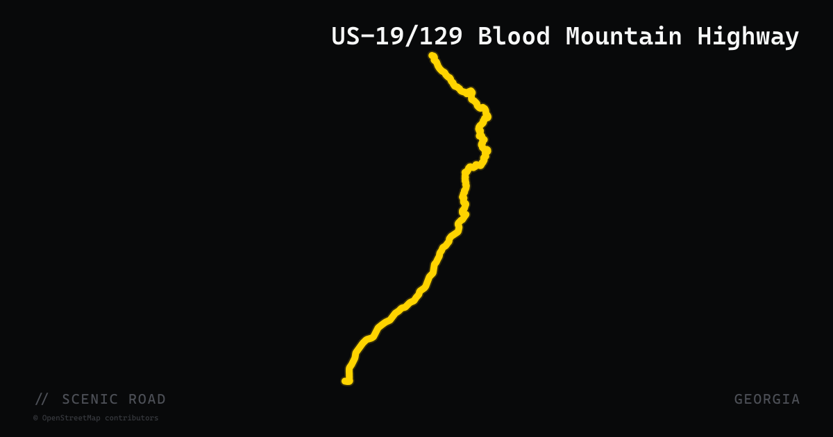
scenic road · georgia
US-19/129 Blood Mountain Highway
US-19 and US-129 share alignment for roughly 20 miles between Dahlonega and Blairsville, cresting Blood Mountain — the highest point on the Georgia Appalachian Trail at 4,458 ft — via Neel Gap at 3,125 ft. The climb features tight switchbacks and a three-lane passing section, with an exposed ridgeline descent into the Nottely River valley to the north. Mountain Crossings outfitter lodge at Neel Gap is the classic halfway stop. Consistently rated among the top roads in the Southeast.
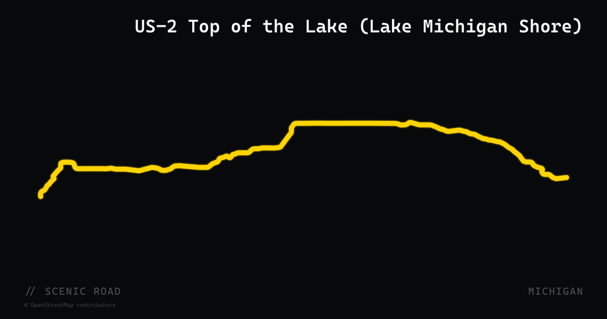
scenic road · michigan
US-2 Top of the Lake (Lake Michigan Shore)
The eastern segment of US-2 in Michigan's Upper Peninsula runs approximately 96 miles from Manistique east to St. Ignace, following the northern shore of Lake Michigan. Designated the Top of the Lake Scenic Byway from Thompson to St. Ignace, the highway passes through Naubinway, Brevort, and several scenic overlooks. Highlights include the Cut River Bridge — a 147-foot arch over a deep river gorge with a beach access stairway — and multiple soft-sand Lake Michigan pull-offs. Part of both the Lake Michigan Circle Tour and the Lake Superior Circle Tour, and featured by UP Travel as one of seven signature UP motorcycle routes.
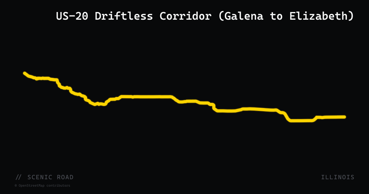
scenic road · illinois
US-20 Driftless Corridor (Galena to Elizabeth)
US Route 20 through Jo Daviess County is the main road linking Galena to Elizabeth through the Illinois Driftless Area — a region that escaped glaciation and retains high hills, deep river valleys, and exposed rock formations unlike anything else in the state. East of Galena, US-20 remains two-lane and cuts through steep ridge-and-hollow terrain with passing lanes carved into hillsides. Long Hollow Scenic Overlook (2918 US Hwy 20 W, Elizabeth) offers a dedicated pull-off with sweeping Driftless views and picnic area. The road connects directly to Galena's historic district and is the gateway to the county's rural back roads.
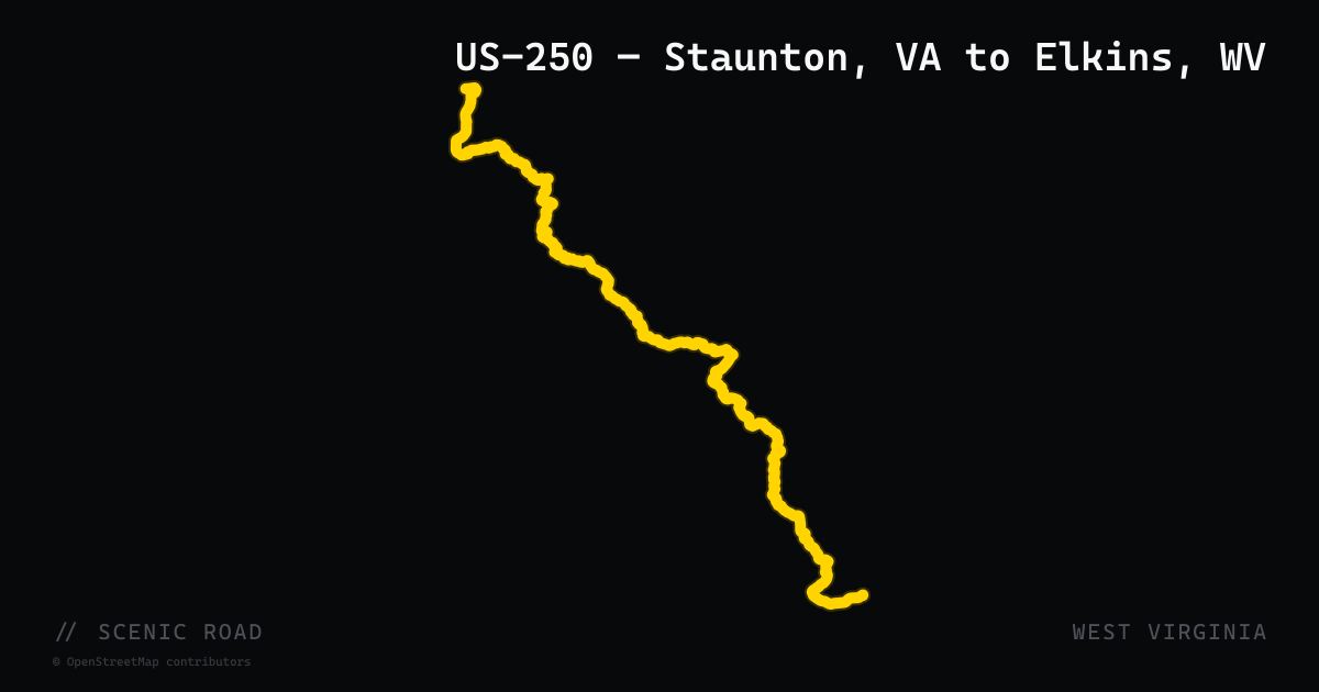
scenic road · west virginia
US-250 — Staunton, VA to Elkins, WV
~115 mi. Tight technical switchbacks through the historic Staunton-Parkersburg Turnpike; Highland County ("VA's Little Switzerland"); Monterey, "the most rider-friendly town."
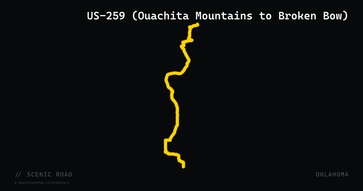
scenic road · oklahoma
US-259 (Ouachita Mountains to Broken Bow)
From the Talimena junction near Big Cedar, US-259 runs about 50 miles south through Ouachita pine forest to Broken Bow, passing Broken Bow Lake and Beavers Bend State Park. Fast sweepers and light traffic make it a good touring-bike road.
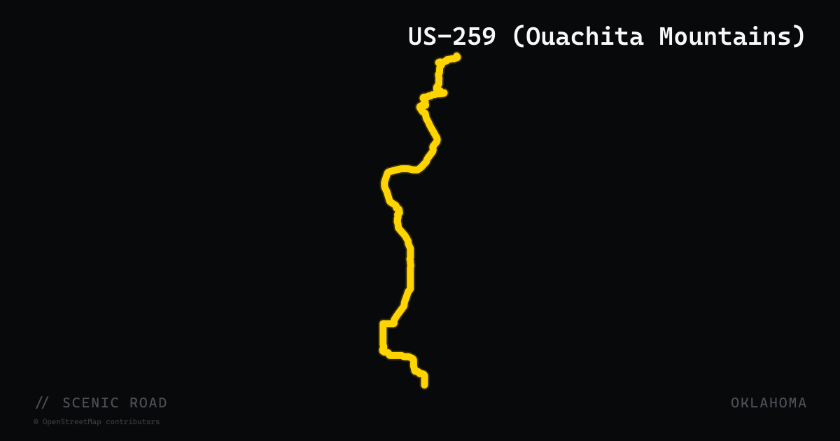
scenic road · oklahoma
US-259 (Ouachita Mountains)
Talimena junction south to Broken Bow, ~50 mi. Fast sweepers through pine forests and mountain lakes (Broken Bow Lake, Beavers Bend SP). Good bagger road.
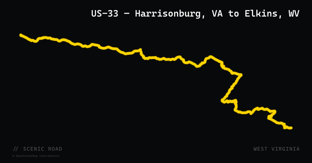
scenic road · west virginia
US-33 — Harrisonburg, VA to Elkins, WV
~80 mi. Among the top-rated motorcycle roads in the East. 120-degree switchbacks with 8–9% grades, Germany Valley overlook, Seneca Rocks (900-ft Tuscarora sandstone fins).
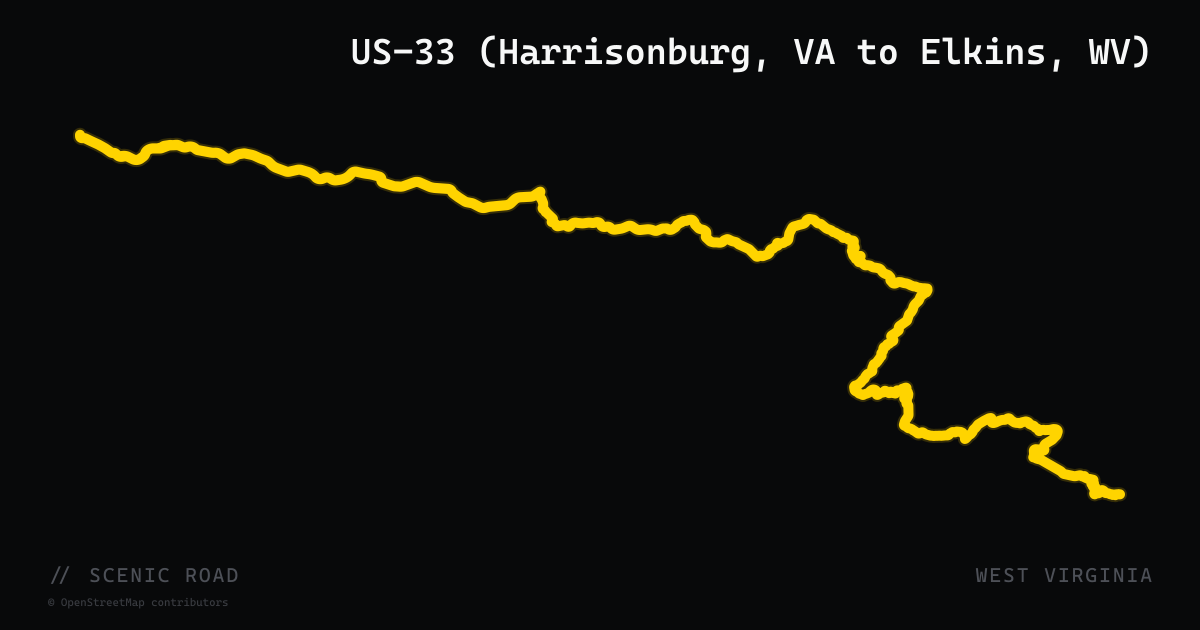
scenic road · west virginia
US-33 (Harrisonburg, VA to Elkins, WV)
Among the top-rated motorcycle roads in the East — roughly 80 miles from Harrisonburg, Virginia to Elkins, West Virginia, with 120-degree switchbacks on 8-9 percent grades, the Germany Valley overlook, and the 900-foot Tuscarora sandstone fins of Seneca Rocks. The route block imports US-33 across all of West Virginia, which continues far west of Elkins beyond the celebrated mountain section, and the Virginia climb out of Harrisonburg is not included.
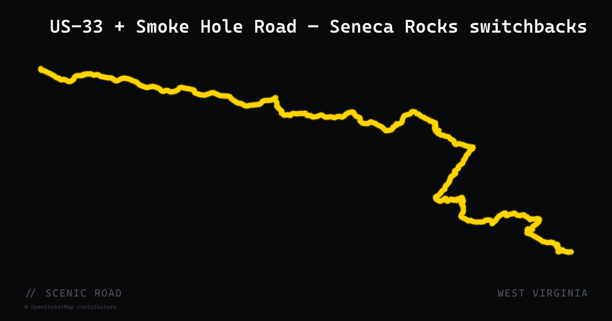
scenic road · west virginia
US-33 + Smoke Hole Road — Seneca Rocks switchbacks
Franklin to Seneca Rocks with a side loop on Smoke Hole Rd, ~35 mi combined. 180-degree switchbacks with 9% grades on US-33 climbing North Mountain. **Smoke Hole Road is more challenging** — narrow, no centerline, continuous blind curves and elevation changes.
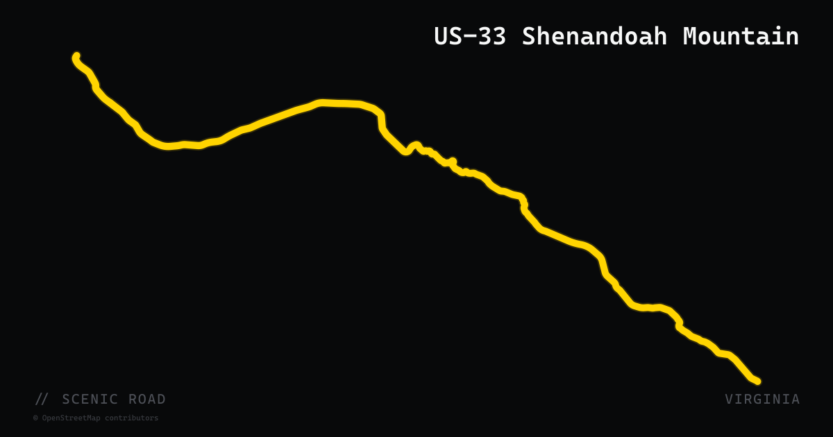
scenic road · virginia
US-33 Shenandoah Mountain
US-33 climbs out of Harrisonburg, Virginia, over the Allegheny ridges and Shenandoah Mountain to the West Virginia state line — a run consistently rated among the top motorcycle roads on the East Coast. The Virginia segment features tight curves and sharp elevation changes through George Washington National Forest before connecting to the equally dramatic West Virginia portion past Seneca Rocks. Low traffic and sustained twisties from start to finish.
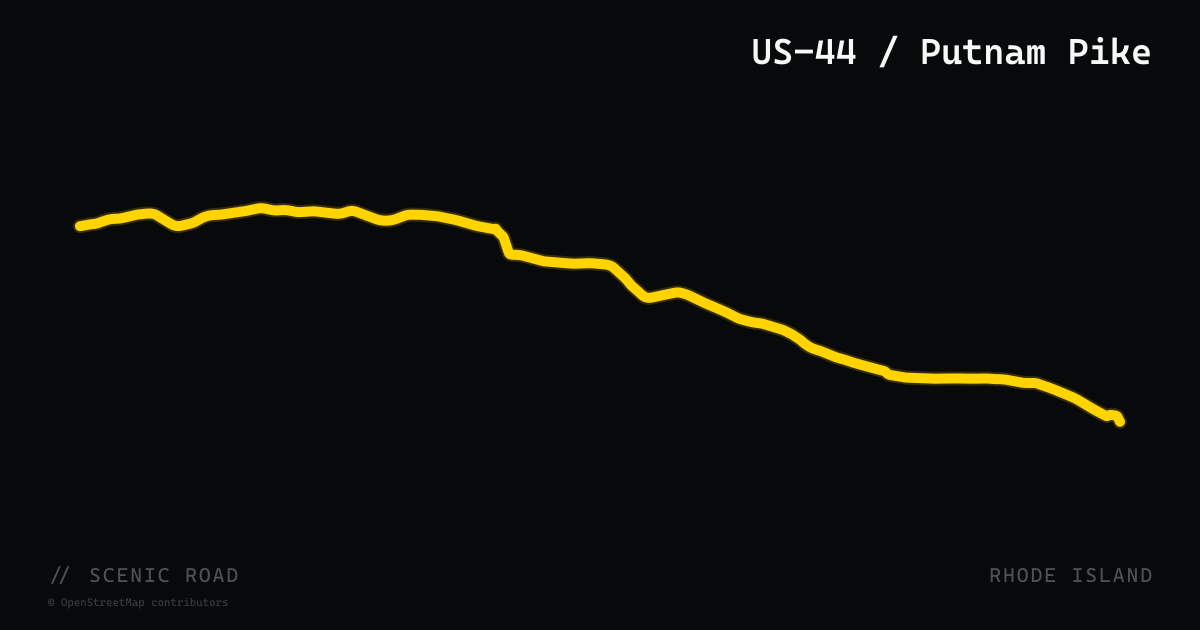
scenic road · rhode island
US-44 / Putnam Pike
Providence west to the CT line, ~30 mi. Classic Rhode Island small-town backroad.
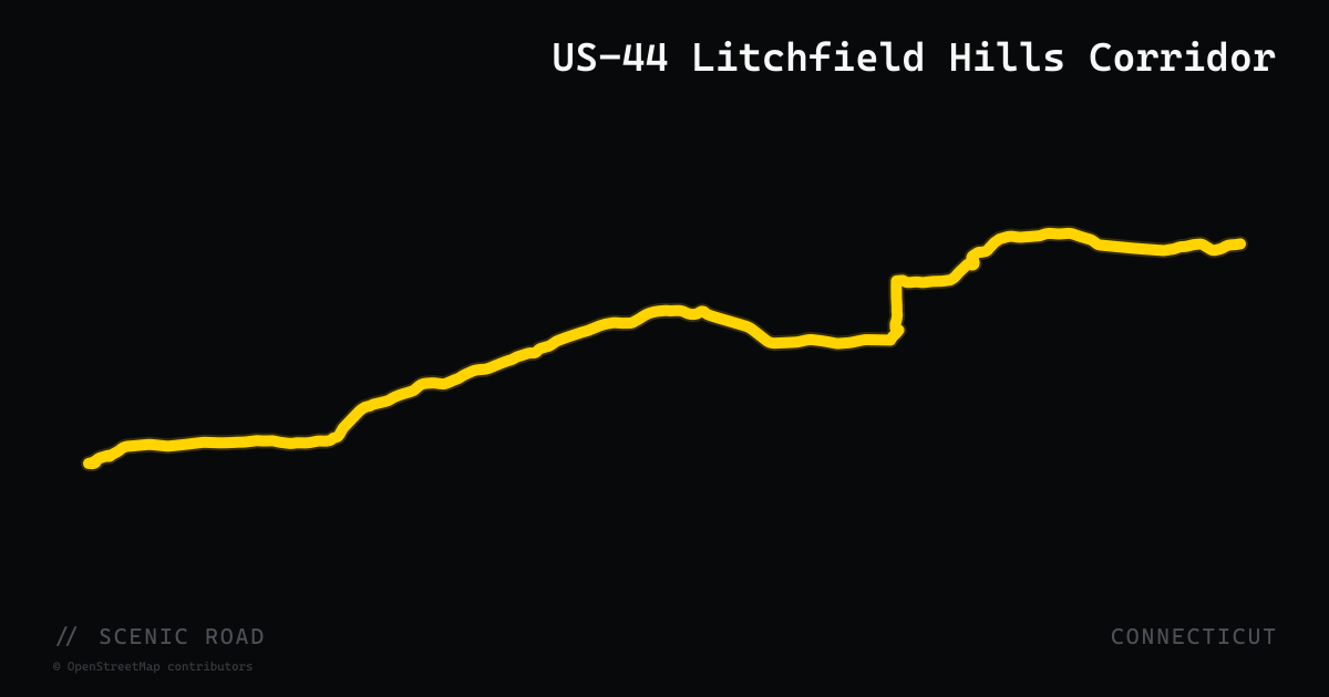
scenic road · connecticut
US-44 Litchfield Hills Corridor
The northwestern stretch of US-44 from the New York border at Salisbury east through Canaan, Norfolk, and Winsted covers roughly 25 miles of hilly, forested Litchfield County terrain. The road climbs through dense hardwood canopy, passes the center of Norfolk (trailhead for Haystack Mountain State Park off adjacent CT-272), and descends into the Winsted valley with the Mad River Dam visible roadside. Multiple state parks flank the corridor, and the route pairs naturally with CT-272 and CT-341 into a full northwest-corner loop.
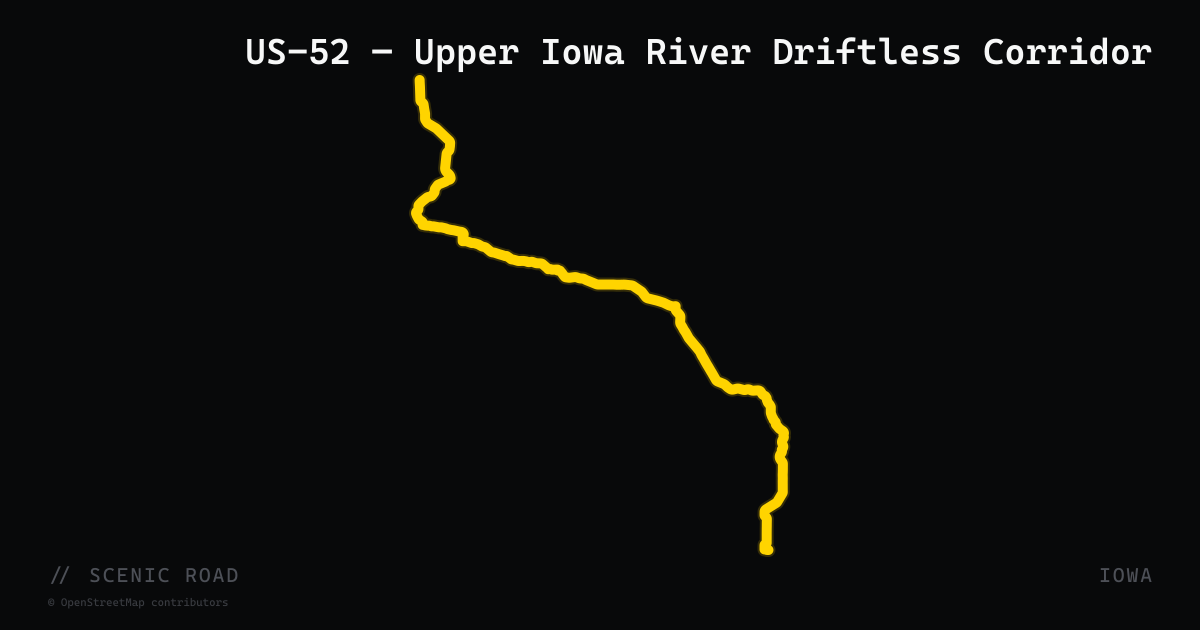
scenic road · iowa
US-52 — Upper Iowa River Driftless Corridor
US Route 52 runs 174 miles north-south through northeast Iowa, from the Mississippi River near Sabula north to the Minnesota border near Burr Oak. The route is wholly within the Driftless Area for its northern stretch, crossing Jackson, Dubuque, Clayton, Allamakee, and Winneshiek counties. Near Decorah — where it crosses Iowa Highway 9 and the Upper Iowa River adjacent to Luther College's limestone-cliff campus — the road rises and falls hundreds of feet through river valleys and past forested bluffs. The northern segment overlaps the River Bluffs Scenic Byway and Driftless Area Scenic Byway. The loop from Decorah south via US-52 to IA-136, connecting with the Grant Wood Scenic Byway corridor, is a well-established northeast Iowa motorcycle day ride.
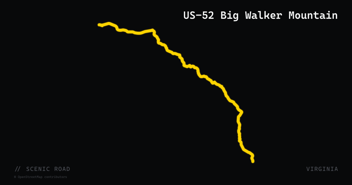
scenic road · virginia
US-52 Big Walker Mountain
US-52 ascends Big Walker Mountain on 16 miles of Appalachian scenic byway, delivering sparse traffic, ridge-top forest isolation, and sweeping views from 3,400-foot elevations in Southwest Virginia. The road forms the spine of the Claw of the Dragon's Bland Loop — a multi-hundred-mile network of motorcycle routes centered on Wytheville. Big Walker Lookout at the summit offers a 100-foot observation tower with five-state views and a country store stocked with dragon-route merchandise.
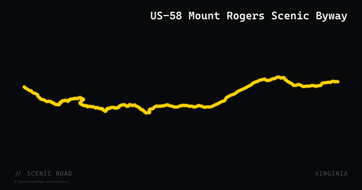
scenic road · virginia
US-58 Mount Rogers Scenic Byway
The 30-mile Mount Rogers Scenic Byway on US-58 runs east from Damascus through Mount Rogers National Recreation Area to Volney — two lanes of hairpin turns and switchbacks climbing into some of Virginia's highest terrain. The route passes Straight Branch Falls, Beartree Lake, a Virginia Creeper Trail crossing, historic Green Cove and Konnarock communities, and accesses Grayson Highlands State Park. Damascus itself is a legendary trail-town hub with food, lodging, and gear shops.
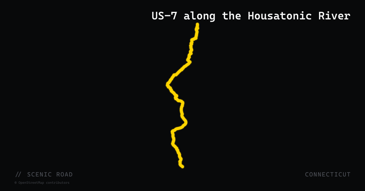
scenic road · connecticut
US-7 along the Housatonic River
New Milford to Canaan, ~40 mi. River-hugging sweepers; pavement resurfaced Cornwall–Kent in 2025.
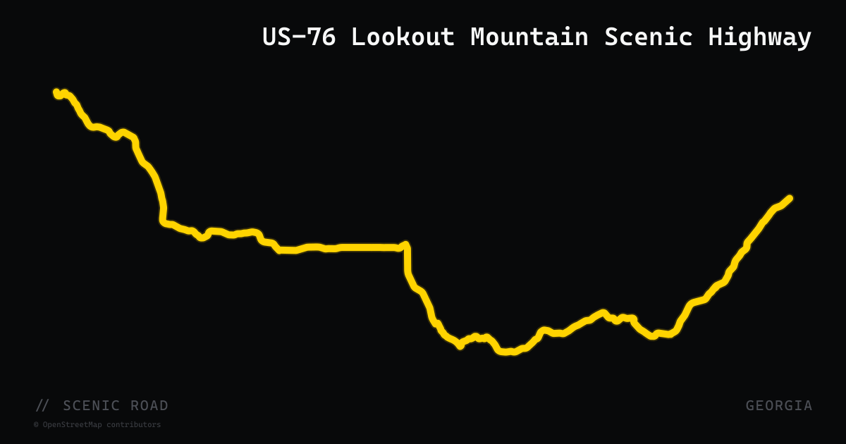
scenic road · georgia
US-76 Lookout Mountain Scenic Highway
US-76 traverses 150 miles across northern Georgia from Tennessee to South Carolina, with the standout motorcycle section running roughly 60 miles from Blairsville east through Young Harris and Hiawassee to Clayton in the Blue Ridge Mountains. This stretch crosses the Appalachian Trail, parallels Lake Chatuge, and passes through the Chattahoochee National Forest with consistent mountain curves and minimal commercial interruption. Most of the eastern portion is officially designated the Lookout Mountain Scenic Highway.
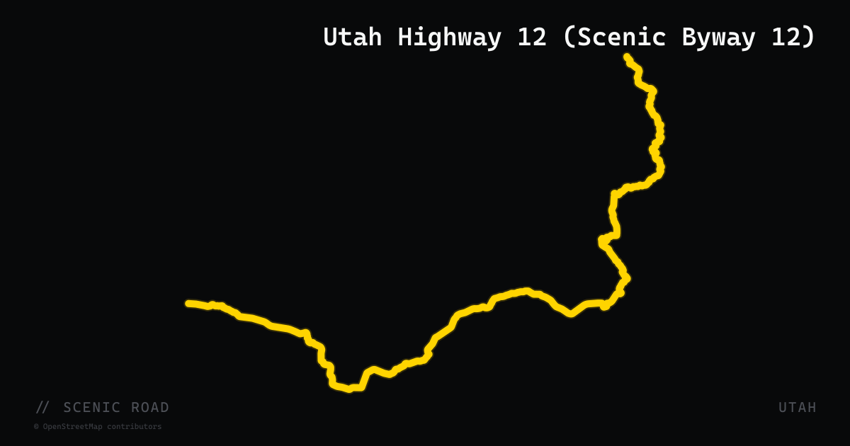
scenic road · utah
Utah Highway 12 (Scenic Byway 12)
123 miles of Utah's All-American Road from Bryce Canyon to Torrey — slickrock canyons, the Hogback ridge ride, Capitol Reef red walls, and aspens at 9,000 ft.
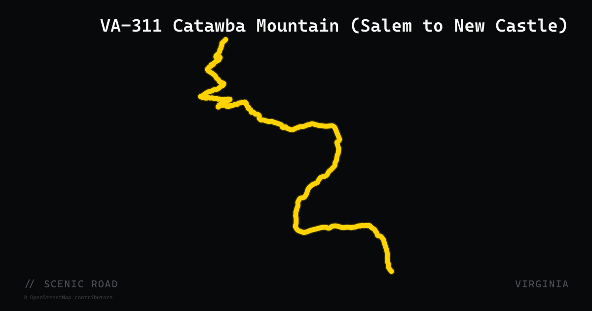
scenic road · virginia
VA-311 Catawba Mountain (Salem to New Castle)
VA-311 winds 22 miles from the city of Salem north through the mountains of Craig County to the small town of New Castle, climbing Catawba Mountain with a sustained series of twists and turns through the George Washington and Jefferson national forests. The route passes the McAfee Knob trailhead — one of the most-photographed spots on the entire Appalachian Trail — and The Homeplace, a renowned family-style Southern restaurant. An extension to Paint Bank via Potts Mountain adds more remote mountain miles.
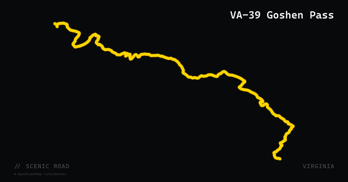
scenic road · virginia
VA-39 Goshen Pass
VA-39 runs nearly 60 miles west from Lexington toward the West Virginia border, with its crown jewel being Goshen Pass — a dramatic water-gap gorge carved by the Maury River through Little North Mountain. The road traces the river at close range, flanked by rocky cliffs and whitewater rapids, before climbing through George Washington National Forest. The gorge section is tight and winding with pull-offs where riders can swim or watch kayakers.
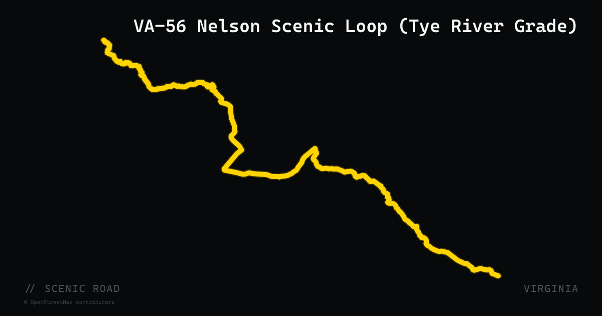
scenic road · virginia
VA-56 Nelson Scenic Loop (Tye River Grade)
VA-56 cuts east from the Blue Ridge Parkway at Steele's Tavern down into Nelson County, following the Tye River through a steep mountain gap to the Piedmont below. Combined with VA-151 and VA-664, it forms the 50-mile Nelson Scenic Loop — a route that connects Crabtree Falls (Virginia's tallest waterfall cascade), Raven's Roost overlook, and a concentration of cideries, breweries, and farm markets. The descent from the ridge offers long sweepers and tight river-grade turns.
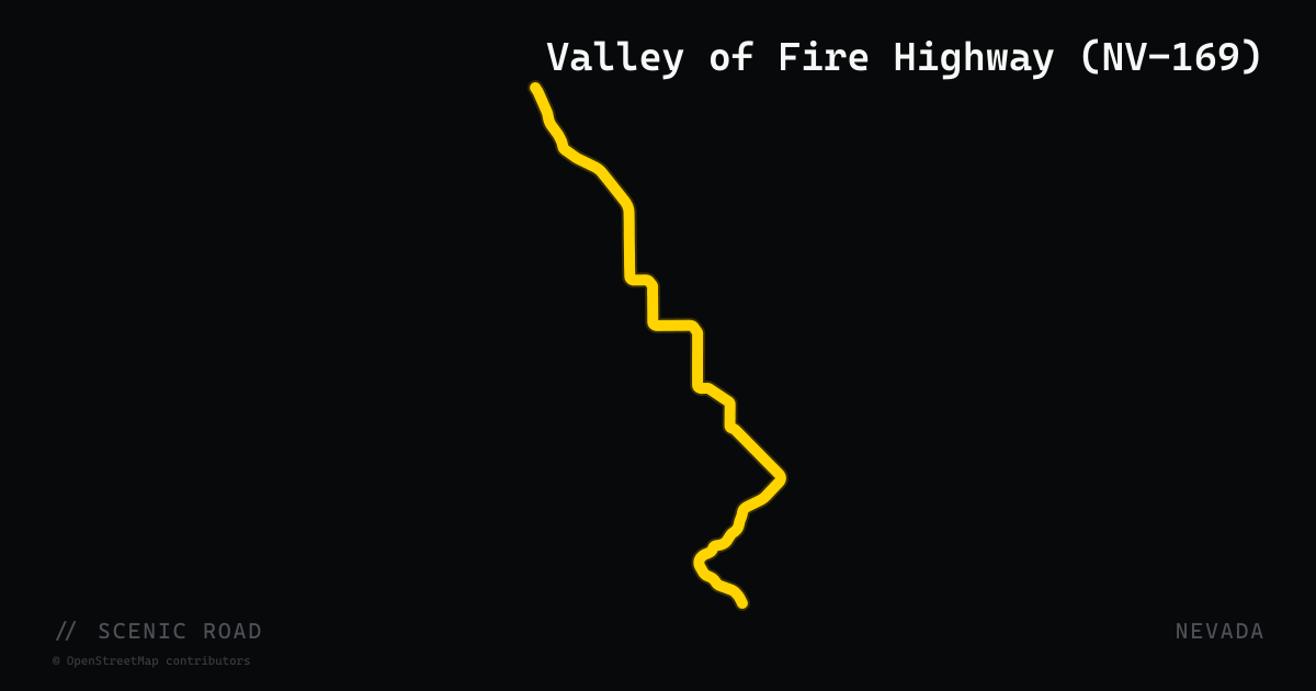
scenic road · nevada
Valley of Fire Highway (NV-169)
Nevada State Route 169 runs 37 miles through the Valley of Fire State Park corridor northeast of Las Vegas, connecting I-15 to Lake Mead National Recreation Area. Inside the park, the road passes through towering Aztec sandstone formations in vivid reds, oranges, and whites — formations that appear to flame in late-afternoon sun. Key landmarks along the route include Arch Rock, Elephant Rock, Fire Canyon Overlook, and the White Domes at road's end. A new $30 million visitor center opened near the park entrance in November 2025. Pavement is well-maintained with a mix of sweeping curves and short straights — more visual spectacle than technical challenge, but one of the most photographically rewarding roads in the Southwest.
scenic road · south dakota
Vanocker Canyon Road (CR-26)
A 17-mile county road (County Road 26 / Forest Service Road 26) winding through the northern Black Hills between Sturgis and Nemo, passing through dense ponderosa pine forest with quick, frequent twists and elevation changes through the canyon corridor. The route connects to Nemo Road for a popular 35-mile loop back through the hills. Not a designated scenic byway but consistently ranked among the top Black Hills motorcycle roads for technical challenge and pavement quality.
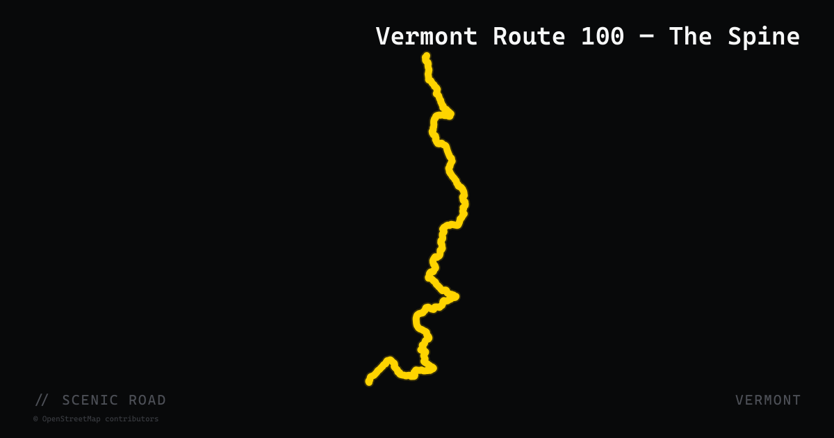
scenic road · vermont
Vermont Route 100 — The Spine
Vermont Route 100 runs roughly 216 miles from the Massachusetts border in Stamford north to Newport near the Canadian border, tracing the eastern flank of the Green Mountains along their full length. Known as "Vermont's Main Street" and the "Skier's Highway," the road passes through Wilmington, Weston, Ludlow, Killington, Pittsfield, Rochester, Hancock, Warren, Waitsfield, Stowe, and Coventry. The southern section features off-camber and reducing-radius corners with forested switchbacks; north of Killington the road dips and swoops through open hill country with a rhythm that rewards mid-pace riding. Multiple mountain-gap roads (VT-17, VT-125, VT-73) branch off the spine, making it the natural backbone for any multi-day Vermont tour.
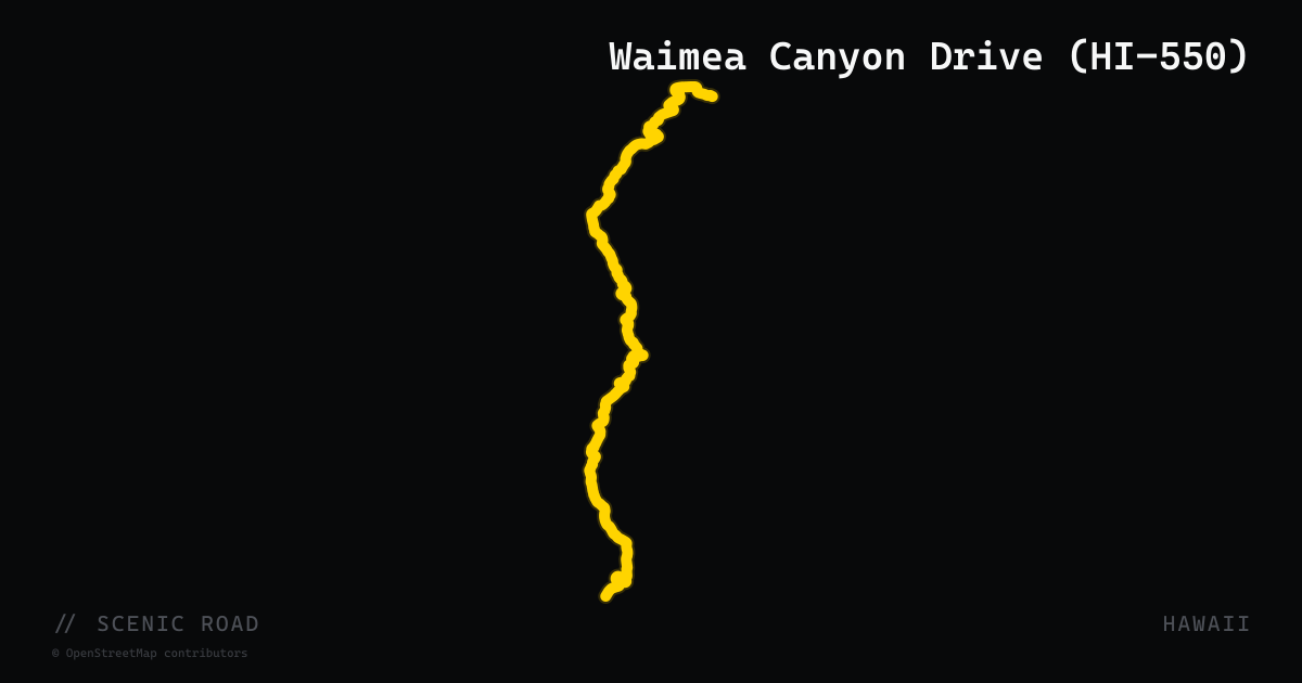
scenic road · hawaii
Waimea Canyon Drive (HI-550)
Waimea Canyon Drive (Route 550, also called Kokee Road) climbs 18 miles from the town of Waimea on Kauai's southwest coast to Koke'e State Park at over 4,000 feet, tracing the western rim of Waimea Canyon — a 3,600-foot-deep gorge known as the 'Grand Canyon of the Pacific.' Multiple paved lookouts appear roughly every mile along the ascent, with the main Waimea Canyon Overlook (mile marker 10) offering the deepest views into the red-walled canyon. On clear days the distant island of Ni'ihau is visible from the upper lookouts. The road is well-paved and manageable but narrow in places; morning arrivals are essential as clouds typically fill the canyon by late morning.
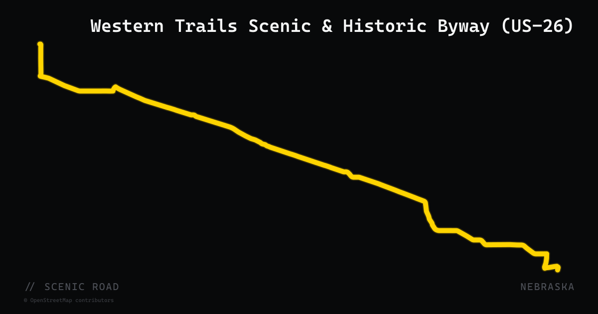
scenic road · nebraska
Western Trails Scenic & Historic Byway (US-26)
A 144-mile Nebraska-designated scenic byway following US-26 and NE-92 from Ogallala to the Wyoming border, tracing the Oregon, California, and Mormon Pioneer National Historic Trails. The route passes Chimney Rock National Historic Site, Scotts Bluff National Monument, the North Platte River valley, and Gering-Wildcat Hills State Recreation Area. The western segment follows NE-92 through Bridgeport and Bayard before merging to Gering; eastern miles follow US-26 through the Platte valley from Ogallala to Oshkosh.
scenic road · kansas
Western Vistas Historic Byway (US-83)
The Western Vistas Historic Byway runs about 99 miles across the shortgrass prairie of far western Kansas, following US-40 and US-83 between Sharon Springs and Scott City. It links some of the state's most striking landforms — the Monument Rocks chalk pillars, Castle Rock, and the Little Jerusalem Badlands — across big-sky high plains with long, uncrowded straights and gentle grades. A destination ride for riders who want space, fossils-and-chalk geology, and horizon-wide scenery rather than tight corners.
scenic road · nevada
Wheeler Peak Scenic Drive (via NV-488)
Nevada State Route 488 (Lehman Caves Road) enters Great Basin National Park from the town of Baker and connects to the Wheeler Peak Scenic Drive — a 12-mile paved park road climbing from 7,000 feet at the Lehman Caves Visitor Center to over 10,000 feet at the Wheeler Peak trailhead and campground. The gain of 4,000 feet in 12 miles compresses multiple ecological life zones into a single ride, ascending from sagebrush desert through mountain mahogany, pinyon-juniper, and subalpine bristlecone pine forest. Views of the Snake Range and Wheeler Peak (13,063 ft, Nevada's second-highest summit) are continuous on the upper sections. Vehicles over 24 feet are prohibited past Upper Lehman Creek Campground; motorcycles have the full run. Seasonal: road typically opens Memorial Day weekend.
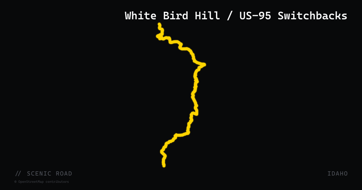
scenic road · idaho
White Bird Hill / US-95 Switchbacks
The 11-mile switchback climb on US-95 between White Bird and Grangeville, rising over 3,000 ft to the 4,245-ft Camas Prairie summit. Twelve major switchbacks on the modern highway negotiate a 5% grade; the parallel Old White Bird Grade adds up to 60 hairpin turns on a narrow historic alignment and is accessible for approximately 2 miles near White Bird. The canyon below marks the 1877 Battle of White Bird Canyon during the Nez Perce War. Seasonal wildflowers blanket the hillsides in spring.
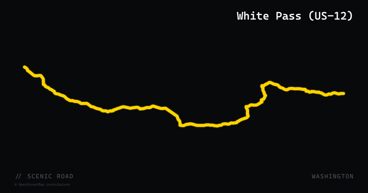
scenic road · washington
White Pass (US-12)
US-12 crosses the Cascades at White Pass (4,500 ft) and runs 124 miles between I-5 near Castle Rock and Naches, passing through the shadow of Mount Rainier, Mount St. Helens, and Mount Adams. Designated a National Scenic Byway, the highway is the only year-round Cascades crossing between Snoqualmie Pass (I-90) and the Columbia River Gorge (WA-14). Two-lane mountain curves thread through the Gifford Pinchot National Forest with minimal traffic compared to the northern passes.
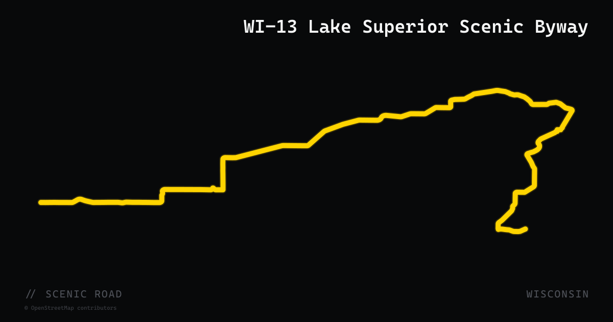
scenic road · wisconsin
WI-13 Lake Superior Scenic Byway
Wisconsin Highway 13 traces 70 miles of the Bayfield Peninsula's Lake Superior shoreline, from the US-2 roundabout in Barksdale west of Ashland to County Highway H near the Brule River in Cloverland. Designated a National Scenic Byway, the route passes Red Cliff Band of Lake Superior Chippewa lands, miles of sand beach, historic fishing villages, dozens of orchards and fruit farms, and the gateway to Apostle Islands National Lakeshore — home to the largest collection of lighthouses in North America. Fall color on the peninsula typically peaks mid-to-late September.
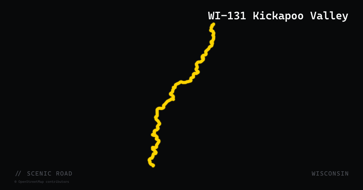
scenic road · wisconsin
WI-131 Kickapoo Valley
Wisconsin Highway 131 follows the Kickapoo River — the most crooked river in North America — for roughly 33 miles between Tomah and Readstown in the Driftless Area of Vernon County. The road crosses the river approximately 12 times as the Kickapoo doubles back on itself through a tight limestone valley. Curves tighten progressively southward; north of Rockton the bends come closest together. A spur on County Road 33 east and County Road F loops through Wildcat Mountain State Park. Watch for Amish buggies and farm equipment on parallel rural roads.
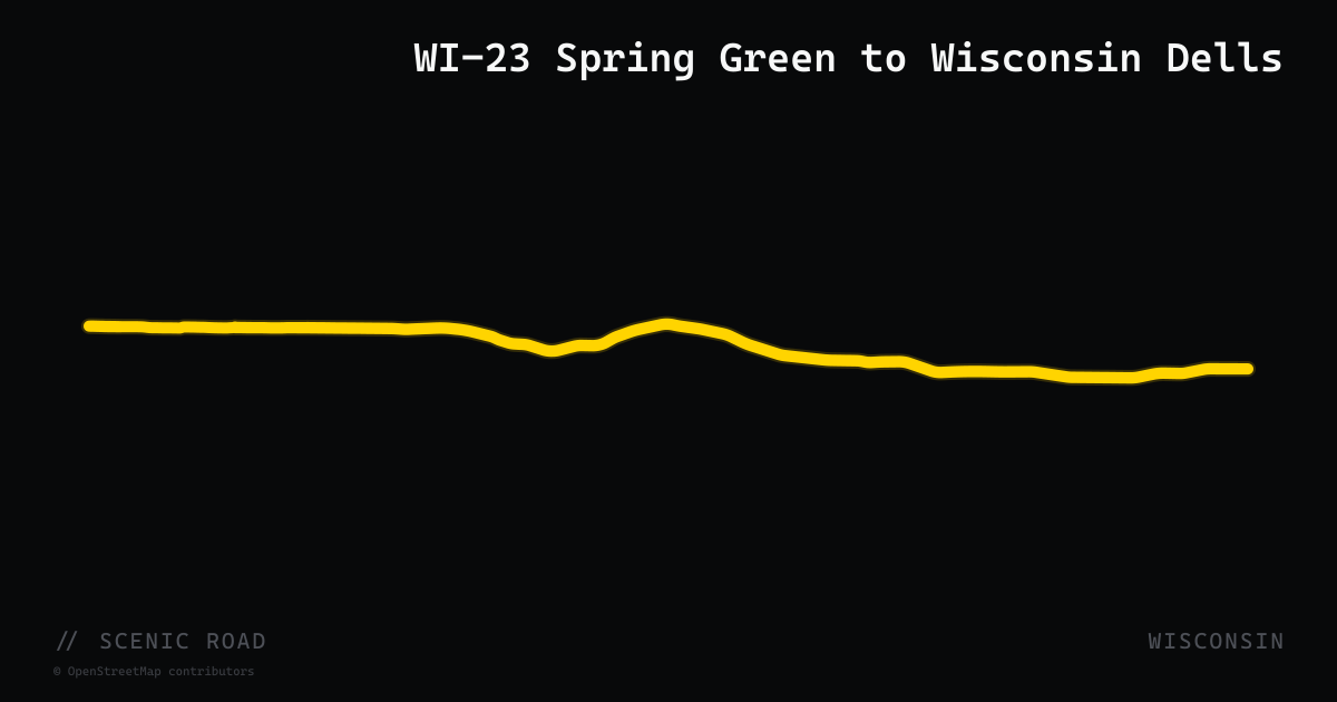
scenic road · wisconsin
WI-23 Spring Green to Wisconsin Dells
The Spring Green to Wisconsin Dells segment of Wisconsin Highway 23 is consistently cited as one of the most scenic stretches of road in the state. Running northeast through Iowa and Sauk counties, it passes the House on the Rock near Spring Green, Frank Lloyd Wright's Taliesin estate, and the edge of Governor Dodge State Park, with high hillside views extending miles in every direction on clear days. The section between Spring Green and Dodgeville in particular offers notable elevation changes and pull-over vistas. WI-23 continues northeast to Wisconsin Dells, where US-12 and WI-16 intersect for easy loop options.
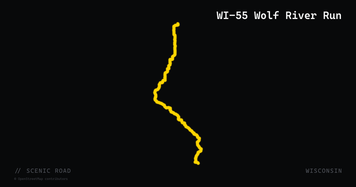
scenic road · wisconsin
WI-55 Wolf River Run
Wisconsin Highway 55 runs approximately 60 miles from Shawano north to Langlade through the Menominee Indian Reservation and Chequamegon-Nicolet National Forest, paralleling the Wolf River for much of its length. The southern section through the Reservation is a technical workout with tight, shaded twists; the northern section opens into 40–50 mph sweepers as pine forest closes in on both shoulders. Combined with WI-32 and US-8 on a figure-8 out of Laona, it forms one of northeastern Wisconsin's signature touring loops. Minimal development along the corridor keeps the forest character intact.
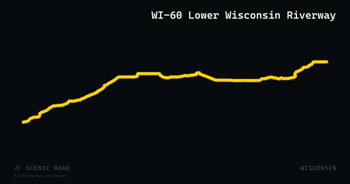
scenic road · wisconsin
WI-60 Lower Wisconsin Riverway
Wisconsin Highway 60 follows the Lower Wisconsin State Riverway for roughly 72 miles from Prairie du Chien east to Sauk City, clinging to the south bank of the Wisconsin River through the Driftless Area. Designated a Wisconsin Scenic Byway, the road alternates between sweeping river-level curves — where the fogline meets the water's edge on one side and near-vertical sandstone walls rise on the other — and bluff-top stretches with broad valley views. The corridor preserves prehistoric Native American effigy mounds, Black Hawk War battlegrounds, and 19th-century lead mining remnants. Pavement quality is consistently rated as glass-smooth.
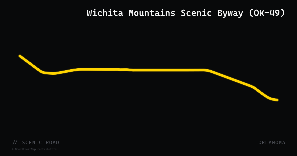
scenic road · oklahoma
Wichita Mountains Scenic Byway (OK-49)
OK-49 forms the roughly 20-mile core of the Wichita Mountains loop near Lawton, crossing the Wichita Mountains Wildlife Refuge where bison, elk, and longhorn range freely and sometimes stand on the road. The spiral road up Mount Scott and the Meers Store are the signature stops.
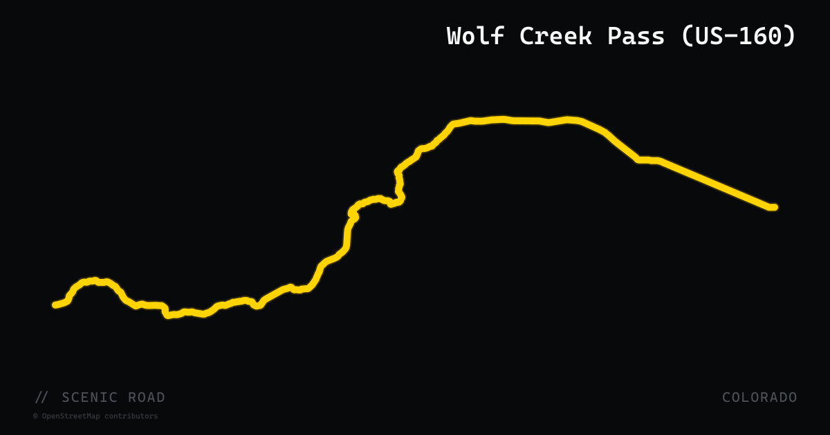
scenic road · colorado
Wolf Creek Pass (US-160)
US Highway 160 crests Wolf Creek Pass at 10,857 feet on the Continental Divide between South Fork and Pagosa Springs in the San Juan Mountains of Mineral County. The two-lane road climbs steeply (7–8% grade) from each side through spruce-fir forest, with the west descent offering continuously unfolding views of craggy snow-capped peaks toward Pagosa Springs. Treasure Falls, a 105-foot cascade off a volcanic cliff face, sits just off the highway on the western descent and is a natural rider stop. The route is open year-round but can be snow-packed October through May.
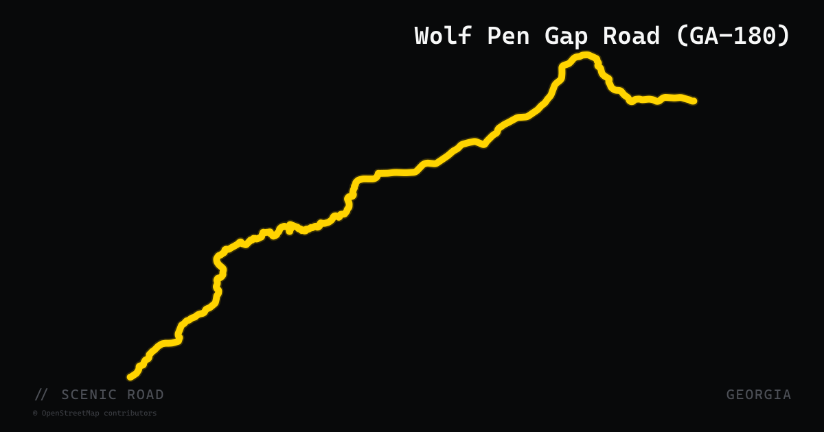
scenic road · georgia
Wolf Pen Gap Road (GA-180)
Suches to Vogel State Park, ~11 mi of tight section. Georgia's most legitimate Tail-of-the-Dragon analog — switchbacks, hairpins, blind corners, posted as low as 10 mph. Sosebee Cove. A loaded Road Glide can do it but will work hard.
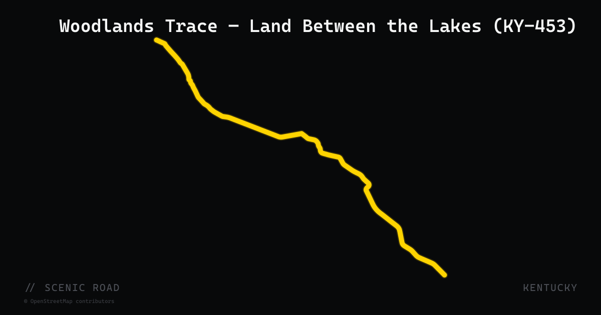
scenic road · kentucky
Woodlands Trace — Land Between the Lakes (KY-453)
The Woodlands Trace National Scenic Byway (designated 2009) runs 43 miles along KY-453 through the forested spine of Land Between the Lakes National Recreation Area, a narrow inland peninsula flanked by Kentucky Lake and Lake Barkley in far western Kentucky and Tennessee. The road holds gentle, flowing curves through hardwood forest with virtually no development — a rare stretch of uninterrupted quiet on public land. Along the way: a 700-acre Elk and Bison Prairie with a 3.5-mile self-drive loop, the Homeplace 1850s Living History Farm, the Golden Pond Planetarium, and wildlife watch areas for deer, wild turkey, and waterfowl. The northern terminus is near Grand Rivers, KY (US-68/KY-80 junction); the southern end exits near Dover, Tennessee.
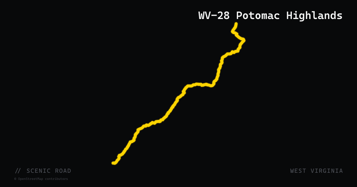
scenic road · west virginia
WV-28 Potomac Highlands
WV-28 runs 151 miles north-south through the Potomac Highlands from its southern terminus at WV-39 in Huntersville (Pocahontas County) to the Maryland state line at Wiley Ford (Mineral County), passing the National Radio Astronomy Observatory at Green Bank, the Seneca Rocks National Recreation Area, and the confluence of the North Fork South Branch Potomac River. The middle section north of Seneca Rocks through Smoke Hole Canyon hugs the South Branch Potomac River through a dramatic limestone gorge with tight turns between cliff walls — one of the most celebrated canyon-road experiences in the mid-Atlantic.
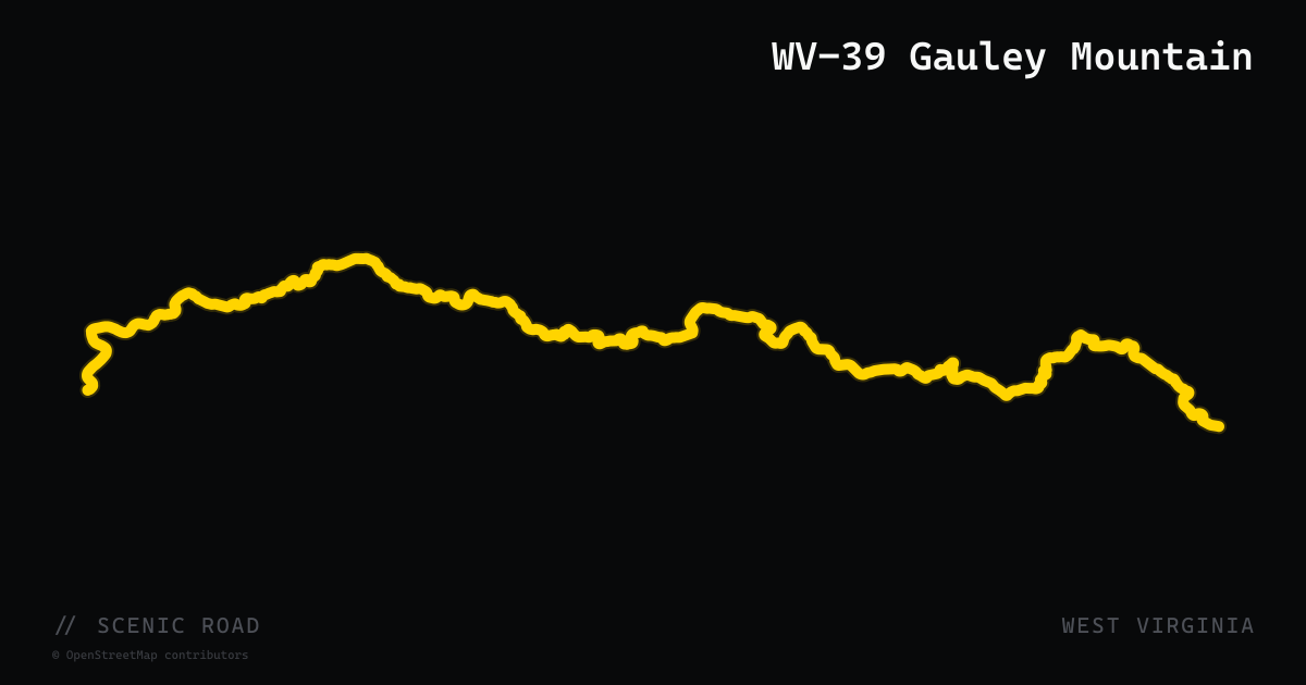
scenic road · west virginia
WV-39 Gauley Mountain
WV-39 runs 106 miles east-west across Fayette, Nicholas, Greenbrier, and Pocahontas counties, climbing over Gauley Mountain from Gauley Bridge (junction with US-60) through Summersville and Marlinton to the Virginia state line near Minnehaha Springs. The road traverses deep Monongahela National Forest, crosses multiple Appalachian ridges with sustained elevation changes, and passes near the Cranberry Wilderness. The western terminus at Gauley Bridge puts riders immediately adjacent to Hawks Nest State Park and the New River Gorge.
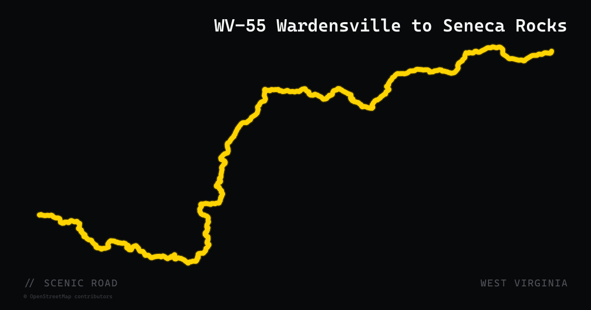
scenic road · west virginia
WV-55 Wardensville to Seneca Rocks
WV-55 runs 228 miles east-west from US-19 at Muddlety to the Virginia state line east of Wardensville, passing through Richwood, Elkins, Seneca Rocks, and Moorefield. The eastern section from Wardensville to Seneca Rocks is the standout stretch for motorcyclists: perfectly-banked rapid-fire curves crossing multiple Appalachian ridges with minimal traffic through Pendleton County. The road terminates at the famous US-33/WV-28/WV-55 junction at Seneca Rocks — the geographic heart of WV motorcycle country.
scenic road · utah
Zion–Mt. Carmel Highway (UT-9)
Springdale to Mt. Carmel Junction, ~24 mi. Six steep switchbacks climbing out of Zion Canyon, then the historic 1.1-mile Zion–Mt. Carmel Tunnel (1930), then twisting slickrock past Checkerboard Mesa. Doable on a Road Glide but tight; watch for shuttle buses.
scenic road · louisiana
Zydeco Cajun Prairie Byway (US-190 / LA-13)
A 283-mile state scenic byway looping through Acadia, St. Landry, and Evangeline parishes in the Cajun heartland, anchored by US-190 and LA-13. The route passes through Eunice (home of the Cajun French Music Hall of Fame), Mamou, Ville Platte, Chicot State Park, crawfish farms, sweet potato fields, and open prairie. Unlike Louisiana's swamp or river roads, this byway emphasizes the rolling Cajun prairie landscape and live music culture of the region.